East Jarrow
Settlement in Durham
England
East Jarrow
East Jarrow is a small town located in County Durham, in the northeast of England. Situated on the banks of the River Tyne, it is part of the larger urban area of Jarrow. The town has a rich industrial heritage, with its roots dating back to the 19th century when it was a prominent shipbuilding and coal mining center.
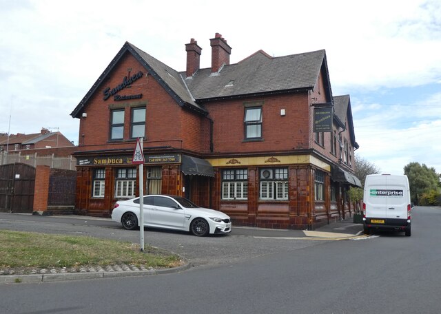
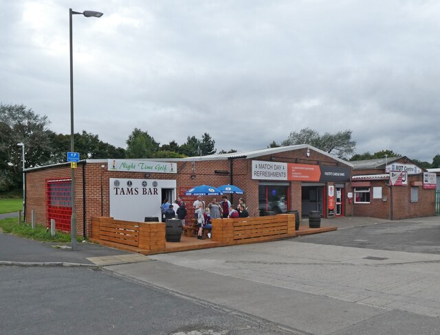
Today, East Jarrow is primarily a residential area, offering a peaceful and picturesque environment for its residents. The town is known for its charming row houses and well-maintained streets. The community is tight-knit, with a friendly and welcoming atmosphere.
East Jarrow benefits from its proximity to various amenities. The nearby Viking Shopping Center provides residents with a range of retail outlets and services, while Jarrow Park offers tranquil green spaces, playgrounds, and sports facilities. The town also boasts excellent transportation links, with easy access to the A19 road and the Tyne and Wear Metro system.
For history enthusiasts, East Jarrow offers several points of interest. The Jarrow Crusade, a famous march for employment rights in the 1930s, originated in the town and is commemorated by a plaque. Additionally, the nearby Jarrow Hall is a museum and education center dedicated to preserving the area's Anglo-Saxon heritage.
In conclusion, East Jarrow is a peaceful residential town in County Durham with a rich industrial history. It offers a close-knit community, picturesque surroundings, and convenient access to amenities, making it an attractive place to live.
If you have any feedback on the listing, please let us know in the comments section below.
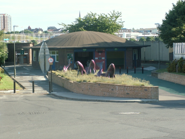
East Jarrow Images
Images are sourced within 2km of 54.977218/-1.4713815 or Grid Reference NZ3364. Thanks to Geograph Open Source API. All images are credited.
East Jarrow is located at Grid Ref: NZ3364 (Lat: 54.977218, Lng: -1.4713815)
Unitary Authority: South Tyneside
Police Authority: Northumbria
What 3 Words
///salt.descended.engage. Near Jarrow, Tyne & Wear
Nearby Locations
Related Wikis

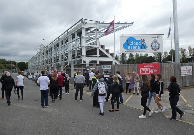
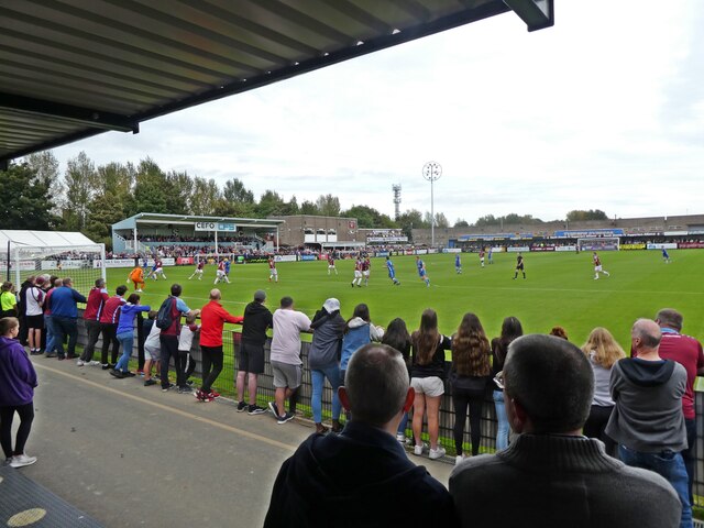
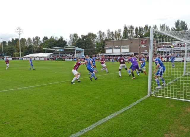
South Shields F.C.
South Shields Football Club is a professional association football club based in South Shields, Tyne and Wear, England. The team competes in the National...

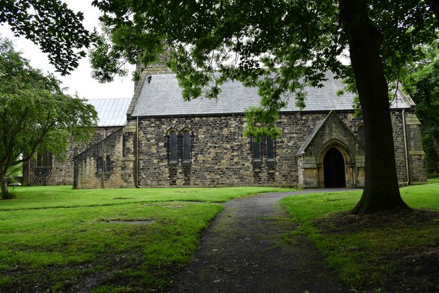
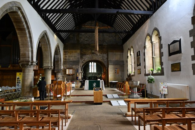
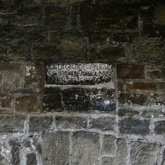
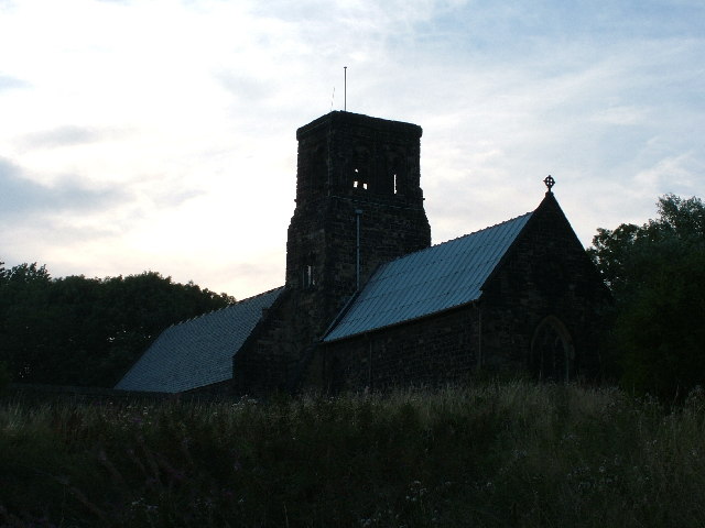
St Paul's Church, Jarrow
St Paul's Church, Jarrow, is a Church of England parish church in the Parish of Jarrow and Simonside, on the south bank of the River Tyne in northern England...

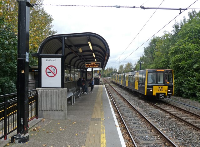
Bede Metro station
Bede is a Tyne and Wear Metro station, serving the town of Jarrow, South Tyneside in Tyne and Wear, England. It joined the network on 24 March 1984, following...
St Bedes Junction rail crash
The accident at St Bedes Junction was one of several serious accidents in 1915. It featured a double collision and fire fuelled by gas, characteristics...

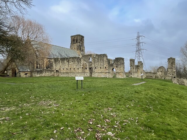
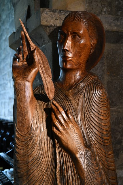
Jarrow Hall
Jarrow Hall is a grade II listed building in Jarrow, Northeast England, and part of the larger Jarrow Hall museum site. It was built around 1785 by local...

Jarrow Hall (museum)
Jarrow Hall (formerly Bede's World) is a museum in Jarrow, South Tyneside, England which celebrates the life of the Venerable Bede; a monk, author and...

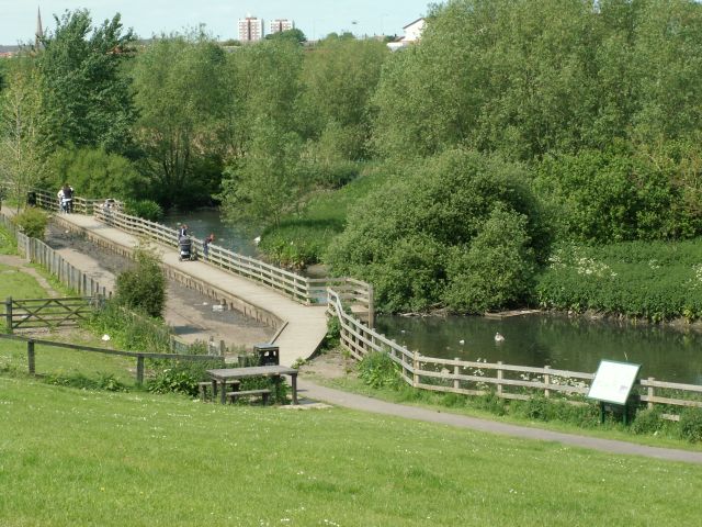
River Don, Tyne and Wear
The River Don is a 15.4 kilometres (9.6 mi) long tributary of the River Tyne in Tyne and Wear, North East England.It rises near Springwell and flows east...
Port of Tyne
The Port of Tyne comprises the commercial docks on and around the River Tyne in Tyne and Wear in the northeast of England. == History == There has been...
Nearby Amenities
Located within 500m of 54.977218,-1.4713815Have you been to East Jarrow?
Leave your review of East Jarrow below (or comments, questions and feedback).