East Houlland

Settlement in Shetland

Scotland

East Houlland

A Small Quarry A drive by shot of this quarry beside the main road.
See <a href="https://www.geograph.org.uk/photo/226200">HU3452 : Bixter Quarry, Shetland</a> for geological info.
It appears to be used for storing roadstone.
A Small Quarry Credit: Des Blenkinsopp

East Houlland is a small settlement located in the Shetland Islands, an archipelago in Scotland. Situated on the eastern coast of the mainland, East Houlland is surrounded by stunning natural beauty and offers a peaceful and idyllic setting for residents and visitors alike.

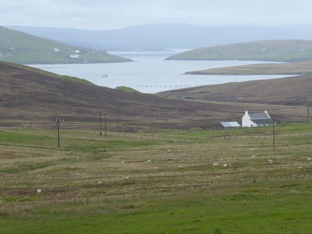
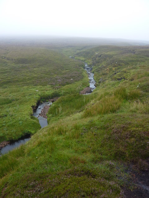
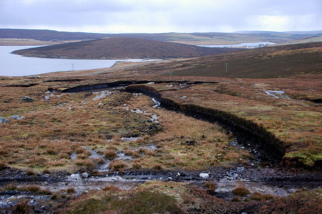
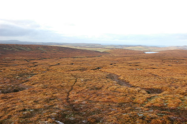
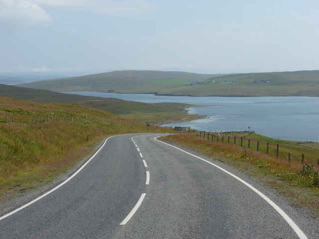
The settlement is characterized by its picturesque countryside, with rolling hills, green meadows, and rugged cliffs that overlook the North Sea. The area is rich in wildlife, making it a haven for nature enthusiasts. Visitors can spot various seabirds, seals, and even whales in the surrounding waters.

The community of East Houlland is closely-knit and boasts a friendly and welcoming atmosphere. The local residents take pride in their heritage and maintain strong ties to their Shetlandic traditions. Many traditional events and festivities are held throughout the year, providing an opportunity for locals and tourists to experience the vibrant culture of the island.

Though small in size, East Houlland offers a range of amenities to cater to residents' needs. There are a few local shops and services, providing essentials and basic provisions. For more extensive shopping or entertainment options, residents can easily access nearby Lerwick, the capital of the Shetland Islands, which is approximately a 30-minute drive away.

Overall, East Houlland offers a serene and scenic escape for those seeking tranquility and a connection with nature. With its breathtaking landscapes and strong community spirit, it is a place that encapsulates the charm and beauty of the Shetland Islands.

If you have any feedback on the listing, please let us know in the comments section below.

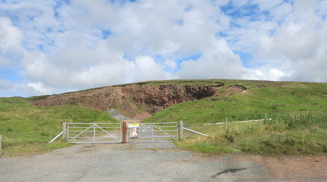
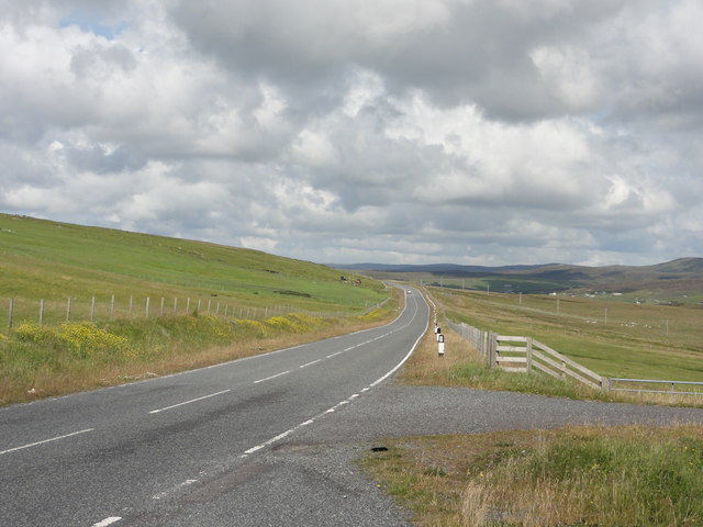
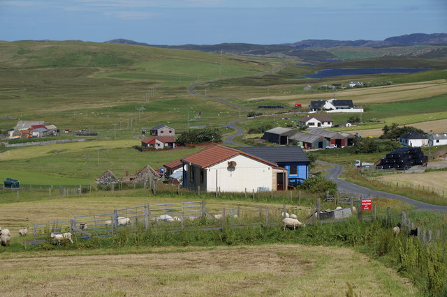
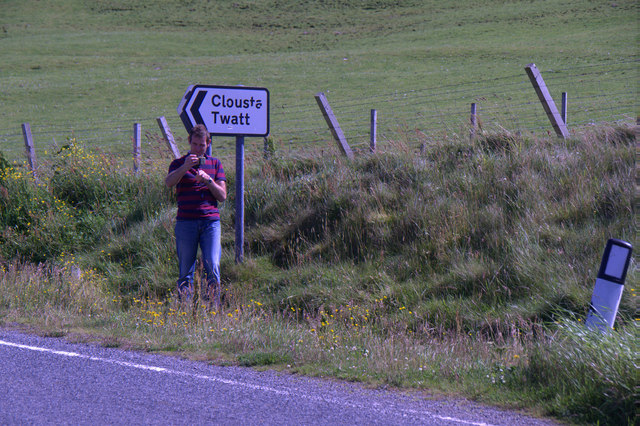
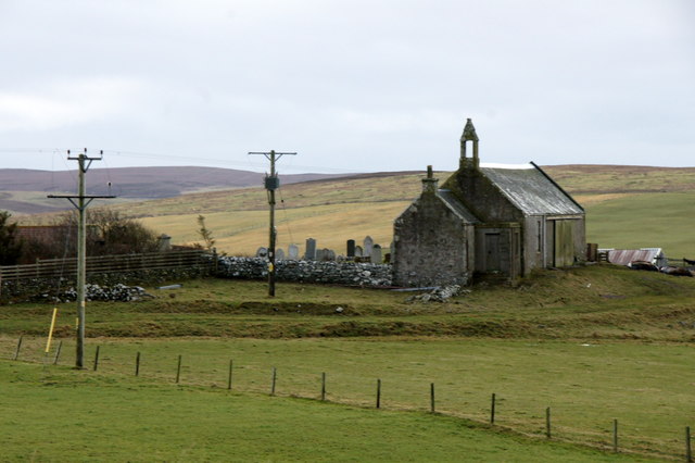
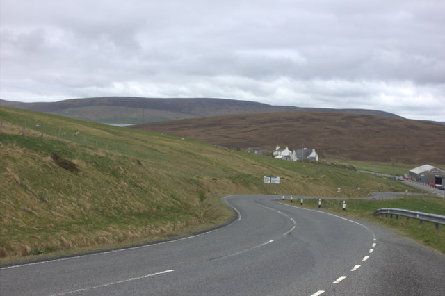
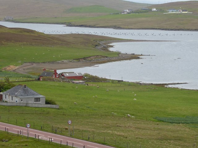
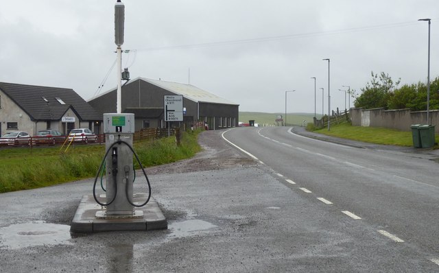
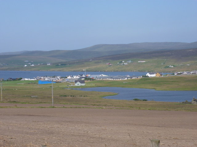
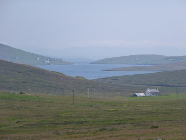
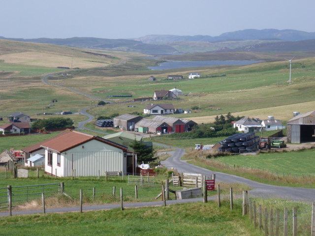
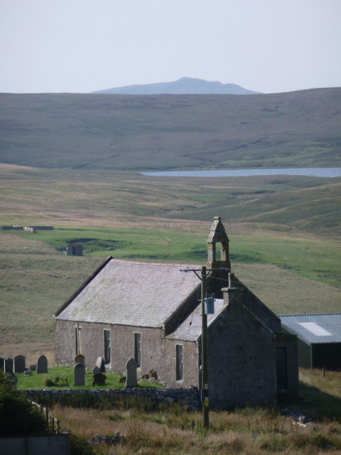
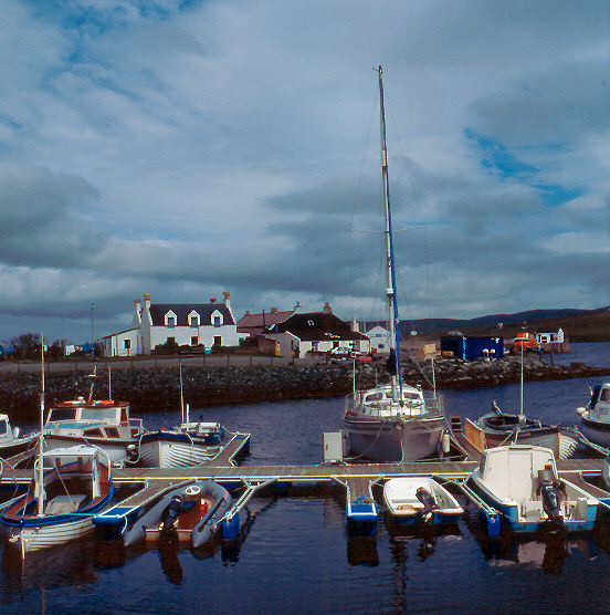
East Houlland Images

Images are sourced within 2km of 60.26489/-1.3773307 or Grid Reference HU3453. Thanks to Geograph Open Source API. All images are credited.

A Small Quarry A drive by shot of this quarry beside the main road.
See <a href="https://www.geograph.org.uk/photo/226200">HU3452 : Bixter Quarry, Shetland</a> for geological info.
It appears to be used for storing roadstone.
A Small Quarry
A drive by shot of this quarry beside the main road. See HU3452 : Bixter Quarry, Shetland for geological info. It appears to be used for storing roadstone.
B9071 road View of the B9071 road
B9071 road
View of the B9071 road
View of Twatt Road through the village of Twatt
View of Twatt
Road through the village of Twatt
The road to Twatt
The road to Twatt
Selfie with a sign, Twatt There are queues now to photographed with this signpost!
Selfie with a sign, Twatt
There are queues now to photographed with this signpost!
Twatt kirk
Twatt kirk
B9071 looking towards Bixter
The A971 approaches Bixter With a fish farm in Bixter Voe.
The A971 approaches Bixter
With a fish farm in Bixter Voe.
Petrol pump in Bixter No shelter from the rain for any customer.
Petrol pump in Bixter
No shelter from the rain for any customer.
Looking down the valley of the Dale Burn To The Firth and Sandsound Voe in the far distance.
Looking down the valley of the Dale Burn
To The Firth and Sandsound Voe in the far distance.
Burn of Atlascord The small Burn of Atlascord where it is joined by a tiny tributary then turns north, just out of shot to the left, before merging with the Burn of Truggles Water and other small run offs to become the more sizeable South Burn of Burrafirth.
Burn of Atlascord
The small Burn of Atlascord where it is joined by a tiny tributary then turns north, just out of shot to the left, before merging with the Burn of Truggles Water and other small run offs to become the more sizeable South Burn of Burrafirth.
Peat banks on the Dudd Hill Peat banks at the end of the hill track that winds up the Dudd Hill from the Nev of Tresta. The Ness of Bixter can be seen in the background.
Peat banks on the Dudd Hill
Peat banks at the end of the hill track that winds up the Dudd Hill from the Nev of Tresta. The Ness of Bixter can be seen in the background.
Burn of Sefmoor Many small watercourses drain this area between the back of the Dudd and South Mid Field and run together to form the small Burn of Sefmoor that can be picked out running from left to right in this photo. The body of water is the Whitelaw Loch above Aith.
Burn of Sefmoor
Many small watercourses drain this area between the back of the Dudd and South Mid Field and run together to form the small Burn of Sefmoor that can be picked out running from left to right in this photo. The body of water is the Whitelaw Loch above Aith.
Aith: across Loch of Houster and the village Looking northeast from the B9071 at the southern end of Aith, across the Loch of Houster and over the village and harbour.
Aith: across Loch of Houster and the village
Looking northeast from the B9071 at the southern end of Aith, across the Loch of Houster and over the village and harbour.
Twatt: view over Tumblin and along Sandsound Voe Looking southeast-ish from the B9071, across the moorland around Tumblin. In the background, we have a distant view along Sandsound Voe.
Twatt: view over Tumblin and along Sandsound Voe
Looking southeast-ish from the B9071, across the moorland around Tumblin. In the background, we have a distant view along Sandsound Voe.
Twatt: road through the village The lane passing through Twatt is an eventual no through road leading only to the hamlet of Clousta. In the distance we see Loch of North-house on the right hand side of the road.
Twatt: road through the village
The lane passing through Twatt is an eventual no through road leading only to the hamlet of Clousta. In the distance we see Loch of North-house on the right hand side of the road.
Twatt: the church Looking towards the church from the main road through the village, with an attractive backdrop including Kirkhouse Water.
Twatt: the church
Looking towards the church from the main road through the village, with an attractive backdrop including Kirkhouse Water.
Bixter: the B9071 approaches the village The B9071 from Voe and Aith heads steeply down to the A971 by the shore of Bixter Voe, at the main part of the village.
Bixter: the B9071 approaches the village
The B9071 from Voe and Aith heads steeply down to the A971 by the shore of Bixter Voe, at the main part of the village.
Show me another place!

East Houlland is located at Grid Ref: HU3453 (Lat: 60.26489, Lng: -1.3773307)

Unitary Authority: Shetland Islands

Police Authority: Highlands and Islands

What 3 Words

///swimmer.condense.martini. Near Aith, Shetland Islands

Nearby Locations

East Houlland Tumblin Hill

Related Wikis

Bixter

Bixter is a village on the west side of the Shetland Islands, located more than 160 km (99 mi) off the north coast of mainland Scotland. Bixter is a group...
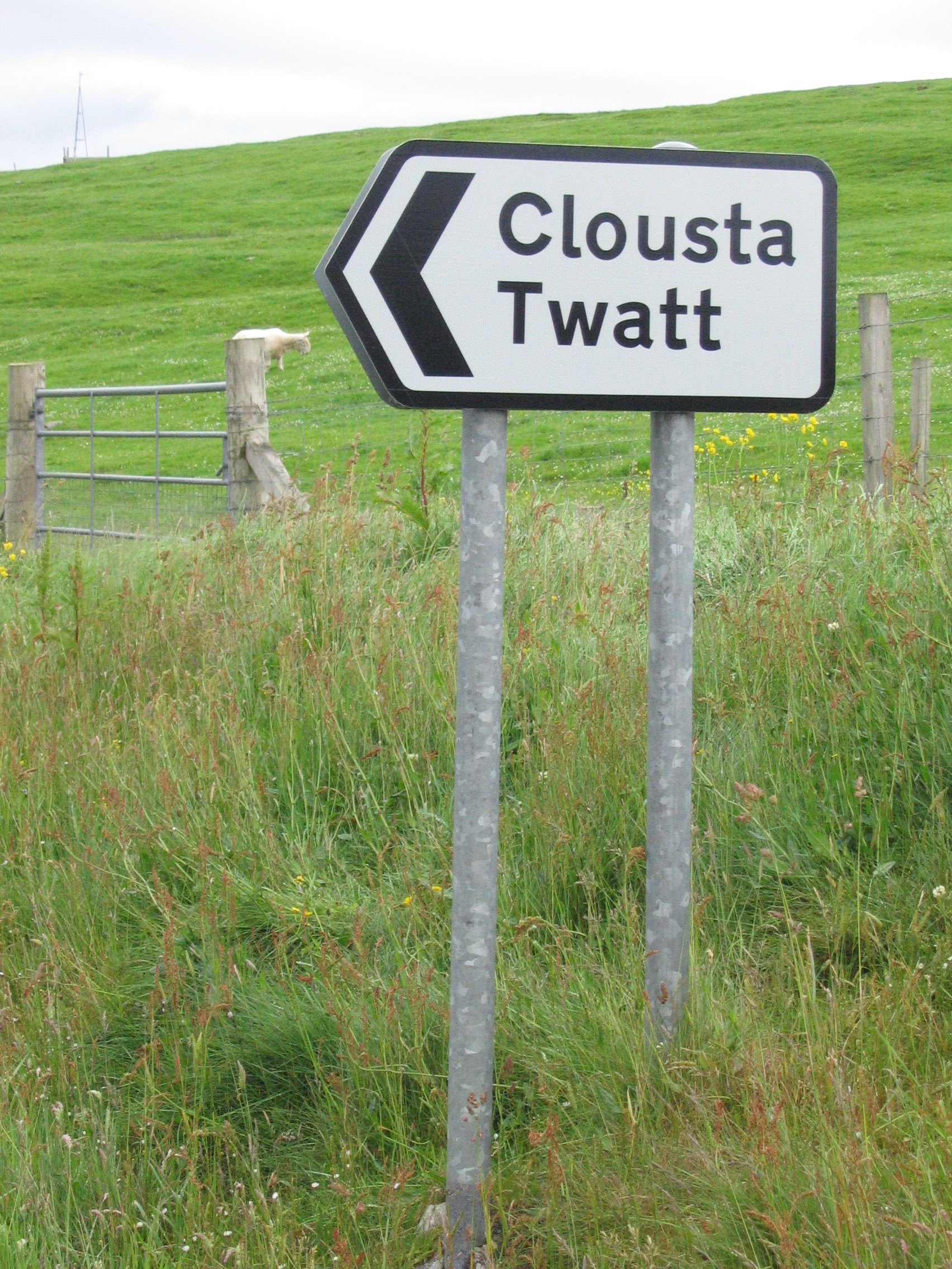
Twatt, Shetland

Twatt is a settlement in the Shetland Islands of Scotland. It is located on the Shetland Mainland on a minor road that leads from the A971 road to Clousta...

Aith

Aith, (Shetland dialect: Eid, Old Norse: EiĆ°, meaning Isthmus, cf Eday), is a village on the Northern coast of the West Shetland Mainland, Scotland at...

Westerfield, Shetland

Westerfield is a coastal community on Mainland, in Shetland, Scotland. The community is within the parish of Sandsting.It lies to the west of Tresta on...

Nearby Amenities

Located within 500m of 60.26489,-1.3773307
Power: pole
Lat/Long: 60.2659914/-1.3816327
Power: pole
Lat/Long: 60.2654979/-1.3822737
Power: pole
Lat/Long: 60.264983/-1.3829926
Power: pole
Lat/Long: 60.2645453/-1.3835666
Power: pole
Lat/Long: 60.2639267/-1.3844007
Power: pole
Lat/Long: 60.2634092/-1.385133
Power: pole
Lat/Long: 60.2657799/-1.3754126
Power: pole
Lat/Long: 60.266171/-1.3759866
Power: pole
Lat/Long: 60.2665448/-1.3766331
Power: pole
Lat/Long: 60.2667058/-1.3778883
Power: pole
Lat/Long: 60.2668707/-1.3792858
Power: pole
Lat/Long: 60.2689765/-1.375823
Power: pole
Lat/Long: 60.2685814/-1.3773143
Power: pole
Lat/Long: 60.2681411/-1.3787547
Power: pole
Lat/Long: 60.2675651/-1.3794789
Power: pole
Lat/Long: 60.2669931/-1.3802809
Power: pole
Lat/Long: 60.2664956/-1.3809568
The data included in this document is from www.openstreetmap.org. The data is made available under ODbL.

Have you been to East Houlland?

Leave your review of East Houlland below (or comments, questions and feedback).