Tumblin Hill
Hill, Mountain in Shetland
Scotland
Tumblin Hill
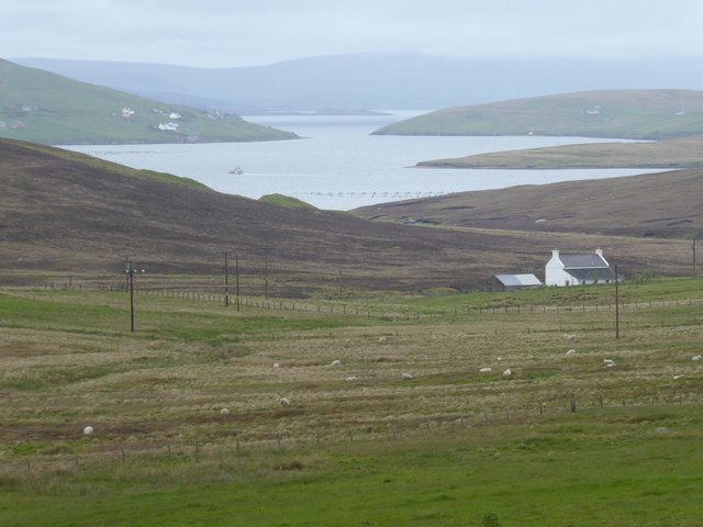
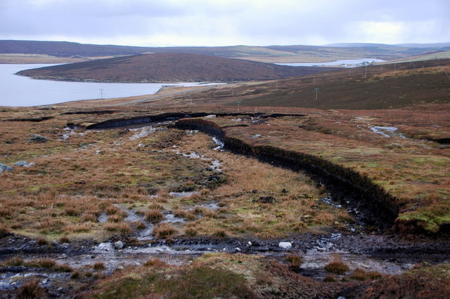
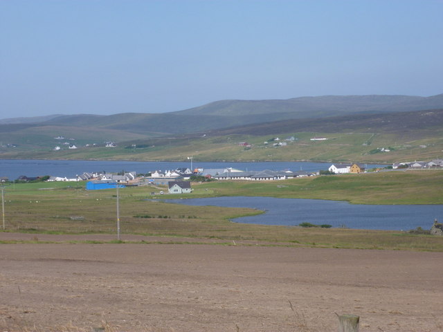
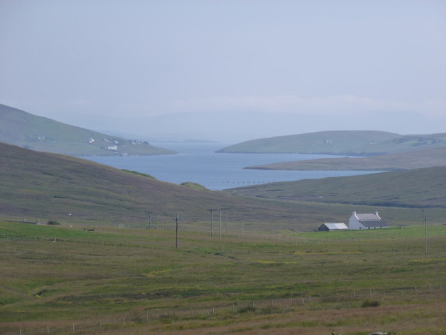
Tumblin Hill is a prominent hill located in the Shetland Islands, Scotland. It is situated near the village of Tumblin, which is approximately 3 miles southwest of the town of Lerwick. The hill stands at an elevation of around 200 meters (656 feet) above sea level and offers stunning panoramic views of the surrounding landscape.
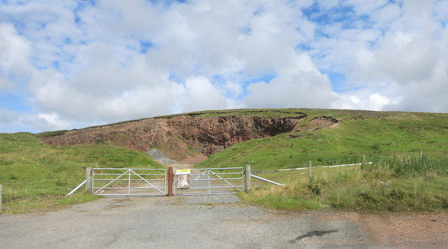
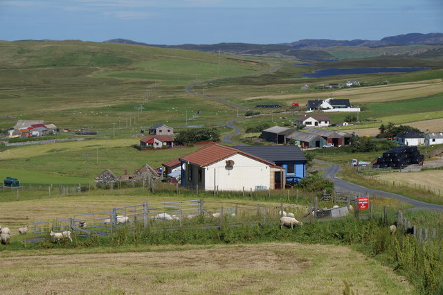
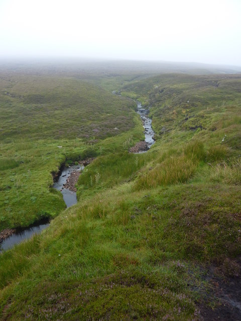
Tumblin Hill is a popular destination for outdoor enthusiasts and nature lovers due to its accessible hiking trails and exceptional scenery. The hill is characterized by its gentle slopes and heather-covered terrain, which create a picturesque landscape throughout the year. The area is also home to a variety of wildlife, including birds, rabbits, and occasionally, Shetland ponies grazing on the hillside.
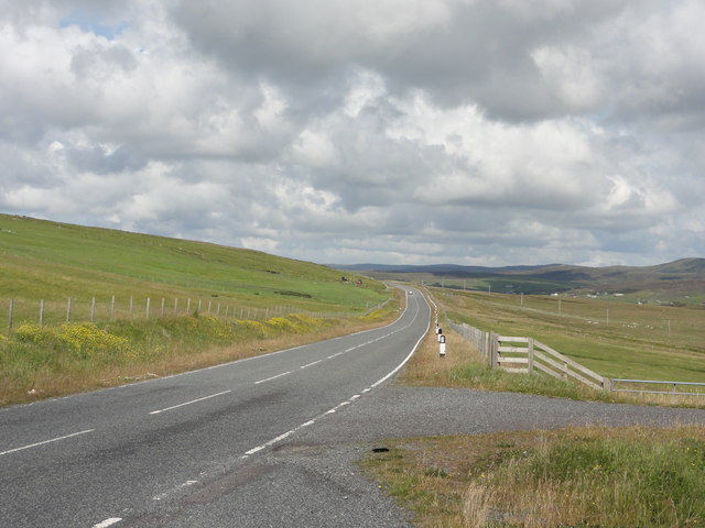
Hikers and visitors can reach the summit of Tumblin Hill by following well-marked trails that wind through the rolling hills and moorland. The climb to the top is relatively easy and suitable for individuals of all ages and fitness levels. Once at the summit, visitors are rewarded with breathtaking views of the surrounding Shetland Islands, including the nearby coastline and other hills in the area.
Tumblin Hill is also a popular spot for paragliding and hang gliding enthusiasts, who take advantage of the hill's favorable wind conditions and open spaces. Additionally, the hill provides ample opportunity for nature photography, picnicking, and simply enjoying the peace and tranquility of the Shetland countryside.
In summary, Tumblin Hill in Shetland is a scenic and accessible hill that offers outdoor enthusiasts and nature lovers a chance to explore the beautiful landscape and enjoy panoramic views of the surrounding area.
If you have any feedback on the listing, please let us know in the comments section below.
Tumblin Hill Images
Images are sourced within 2km of 60.26784/-1.3782868 or Grid Reference HU3453. Thanks to Geograph Open Source API. All images are credited.


Tumblin Hill is located at Grid Ref: HU3453 (Lat: 60.26784, Lng: -1.3782868)
Unitary Authority: Shetland Islands
Police Authority: Highlands and Islands
What 3 Words
///continued.edicts.appendix. Near Aith, Shetland Islands
Nearby Locations
Related Wikis
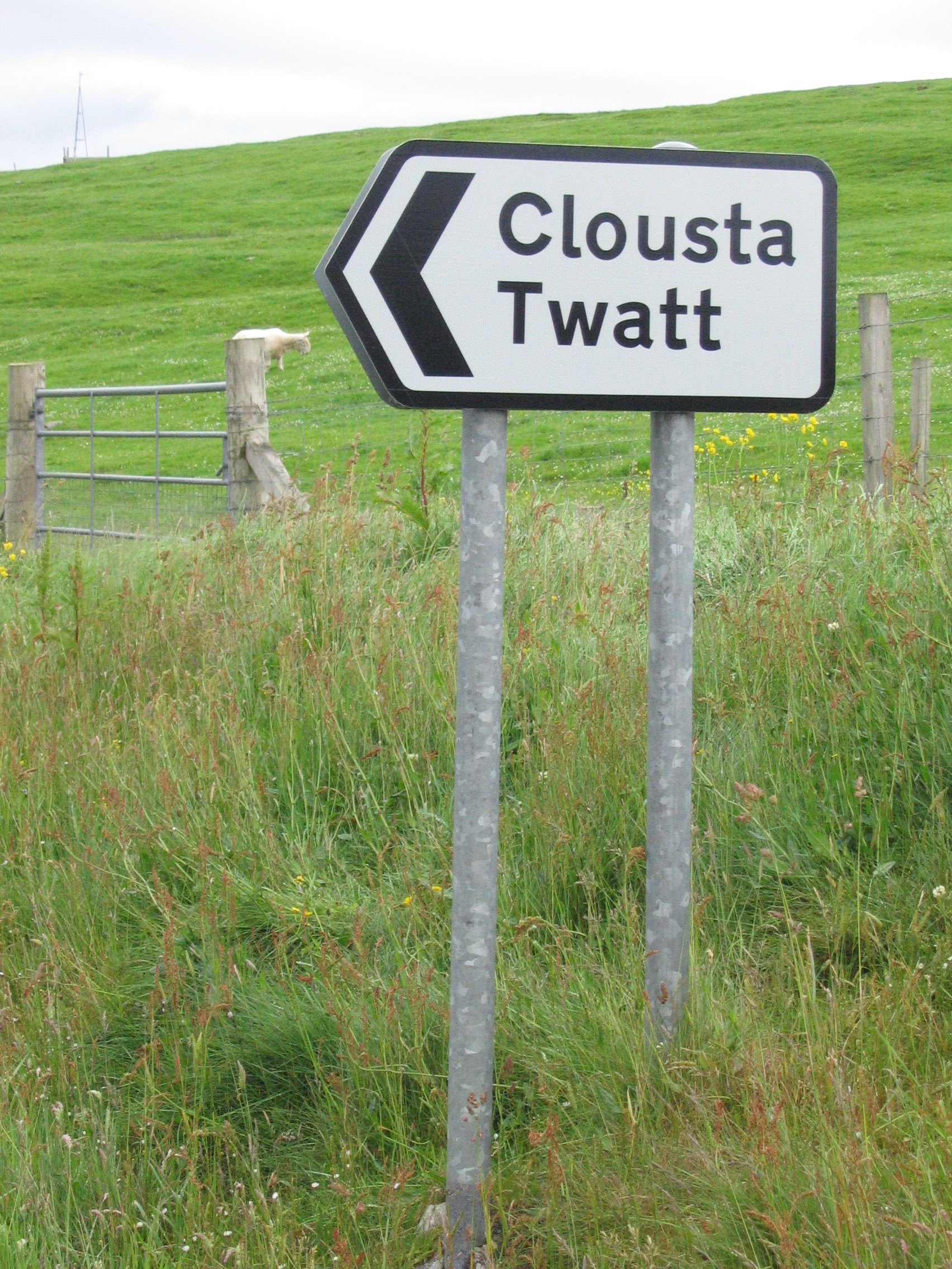
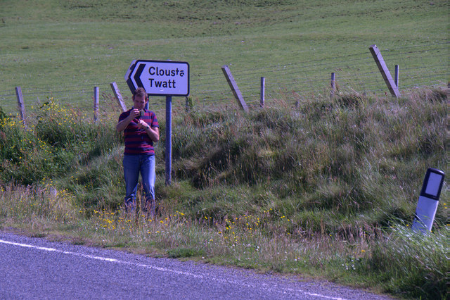
Twatt, Shetland
Twatt is a settlement in the Shetland Islands of Scotland. It is located on the Shetland Mainland on a minor road that leads from the A971 road to Clousta...
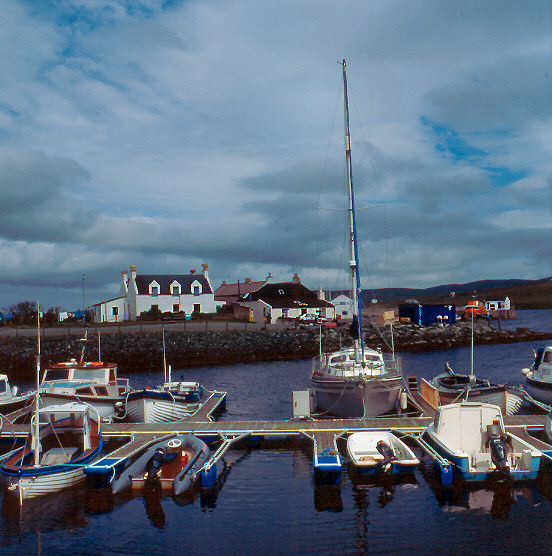
Aith
Aith, (Shetland dialect: Eid, Old Norse: Eið, meaning Isthmus, cf Eday), is a village on the Northern coast of the West Shetland Mainland, Scotland at...

Bixter
Bixter is a village on the west side of the Shetland Islands, located more than 160 km (99 mi) off the north coast of mainland Scotland. Bixter is a group...

Westerfield, Shetland
Westerfield is a coastal community on Mainland, in Shetland, Scotland. The community is within the parish of Sandsting.It lies to the west of Tresta on...
Park Hall, Shetland
Park Hall is a derelict laird's house situated west of the village of Bixter, in the parish of Sandsting on the Mainland of Shetland, Scotland. It has...

Braewick, Sandsting
Braewick is a settlement on the west Mainland of Shetland, Scotland. Braewick is on the western shore of Aith Voe and 1.2 mi (2 km) north of Aith itself...

Clousta
Clousta is a hamlet on Mainaland, in the island's west, Shetland, Scotland. Approximately seventy people live here, many of whom are commuters, but local...

Weisdale Mill
Weisdale Mill is a watermill in the village of Weisdale, Shetland, Scotland. It is located near the head of Weisdale Voe on the west of the island, a twenty...
Nearby Amenities
Located within 500m of 60.26784,-1.3782868Have you been to Tumblin Hill?
Leave your review of Tumblin Hill below (or comments, questions and feedback).