East Hope
Settlement in Yorkshire
England
East Hope

East Hope is a quaint village located in the picturesque county of Yorkshire, England. Situated amidst rolling green hills and serene countryside, this charming hamlet offers a peaceful and idyllic setting for residents and visitors alike.
The village is home to a close-knit community that takes pride in its rich history and heritage. East Hope dates back to the medieval period and still retains much of its old-world charm. Its streets are lined with traditional stone houses and historic buildings, showcasing the village's architectural beauty.
Nature lovers will find themselves in paradise in East Hope. The surrounding landscape is characterized by lush meadows, meandering streams, and dense woodlands, offering ample opportunities for outdoor activities such as hiking, cycling, and picnicking. The village is also in close proximity to the stunning North York Moors National Park, providing residents with breathtaking views and diverse wildlife.
East Hope boasts a range of amenities to cater to the needs of its residents. The village has a local pub, a small grocery store, and a post office, ensuring that daily essentials are easily accessible. Additionally, the nearby town of Hopeville offers a wider array of shops, restaurants, and recreational facilities.
With its tranquil ambiance and stunning scenery, East Hope is a haven for those seeking a peaceful escape from the hustle and bustle of modern life. Whether it's exploring the countryside or immersing oneself in the village's history, East Hope offers a delightful experience for visitors who yearn for a taste of rural England.
If you have any feedback on the listing, please let us know in the comments section below.
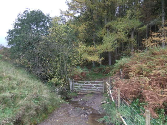
East Hope Images
Images are sourced within 2km of 54.476191/-1.9415881 or Grid Reference NZ0308. Thanks to Geograph Open Source API. All images are credited.


East Hope is located at Grid Ref: NZ0308 (Lat: 54.476191, Lng: -1.9415881)
Division: North Riding
Unitary Authority: County Durham
Police Authority: Durham
What 3 Words
///estuaries.bleak.piper. Near Brignall, Co. Durham
Nearby Locations
Related Wikis

Scargill, County Durham
Scargill is a hamlet in the Pennines of England, situated close to the River Greta. The population taken at the 2011 Census was less than 100. Details...
Brignall Banks
Brignall Banks is a Site of Special Scientific Interest in the Teesdale district of south-west County Durham, England. It consists of a narrow belt of...

Hoove
Hoove is a hill in the northern Yorkshire Dales in North Yorkshire, England, near the town of Barnard Castle in County Durham. Its elevation is 554 metres...

Brignall
Brignall village is located in an elevated position adjacent to the River Greta, about 2 km upstream from Greta Bridge. The village is within the Teesdale...
Related Videos

The Stang, North Pennines - 25 September 2022
A 9 mile walk around the forested The Stang.

The Stang, North Pennines - 4 April 2021
An 11 mile walk around the woodland of The Stang. Starting at the higher car park, the route heads east to Cocker Hill and then ...
Nearby Amenities
Located within 500m of 54.476191,-1.9415881Have you been to East Hope?
Leave your review of East Hope below (or comments, questions and feedback).