Dunrobin

Settlement in Lanarkshire

Scotland

Dunrobin

Easter Moffat Golf Course Looking to the high point of the course 217m
Easter Moffat Golf Course Credit: Jim Smillie

Dunrobin is a small village located in the Lanarkshire region of Scotland. Situated about 10 miles southwest of Glasgow, it is nestled amidst the picturesque countryside, offering residents and visitors a tranquil and scenic environment to enjoy.

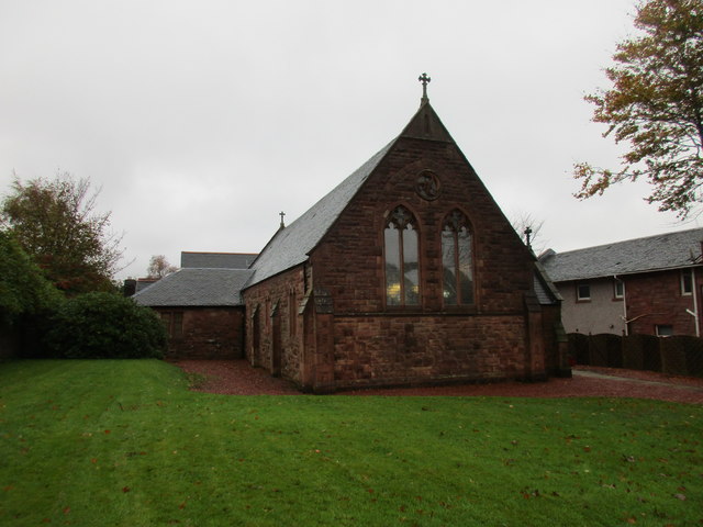
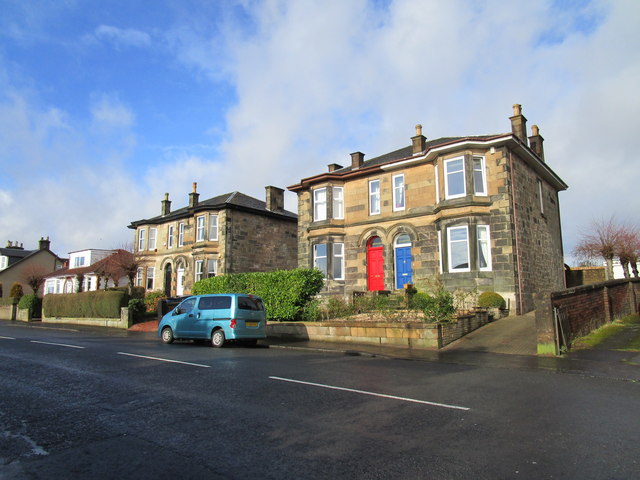
The village is known for its rich history and charming architecture. Many of the buildings in Dunrobin date back to the 19th century, showcasing traditional Scottish design and adding to the village's unique character. The streets are lined with well-preserved cottages, some of which have been converted into quaint bed and breakfast establishments, attracting tourists looking for a peaceful escape.

Despite its small size, Dunrobin offers a range of amenities to cater to the needs of its residents. There is a local primary school, a village hall that serves as a community center, and a few local shops and cafes. For more extensive shopping and entertainment options, residents can easily access nearby towns and cities.

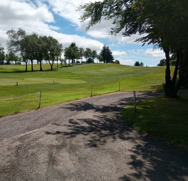
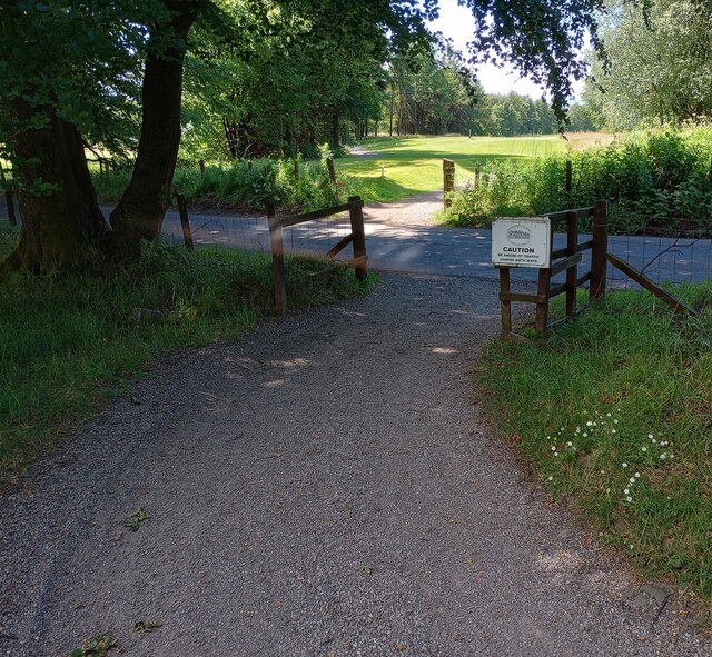
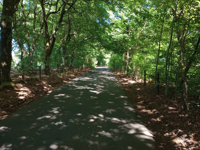
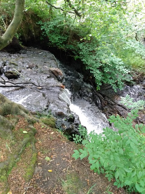
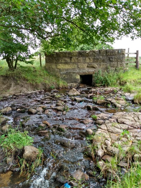
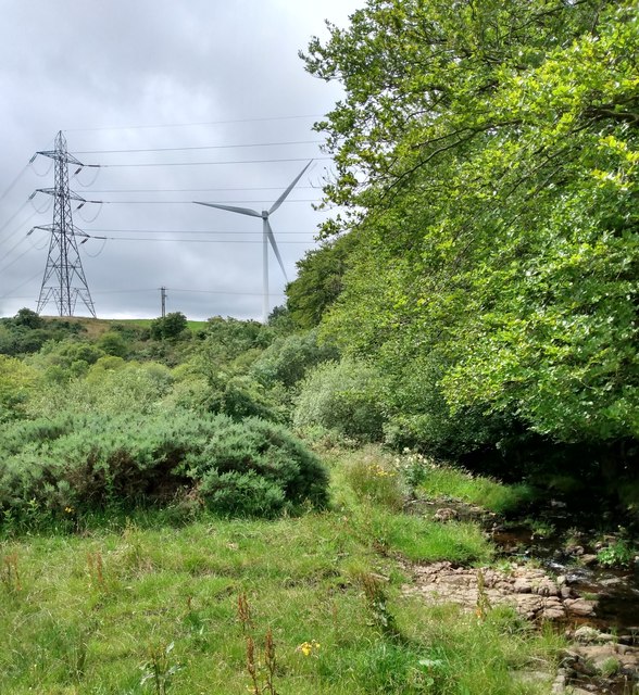
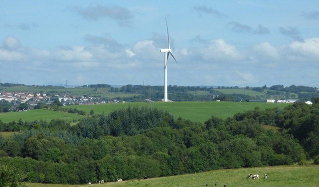
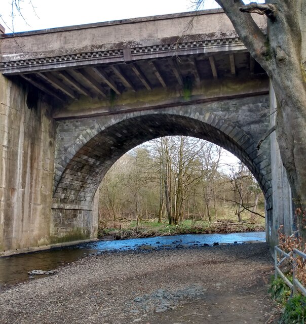
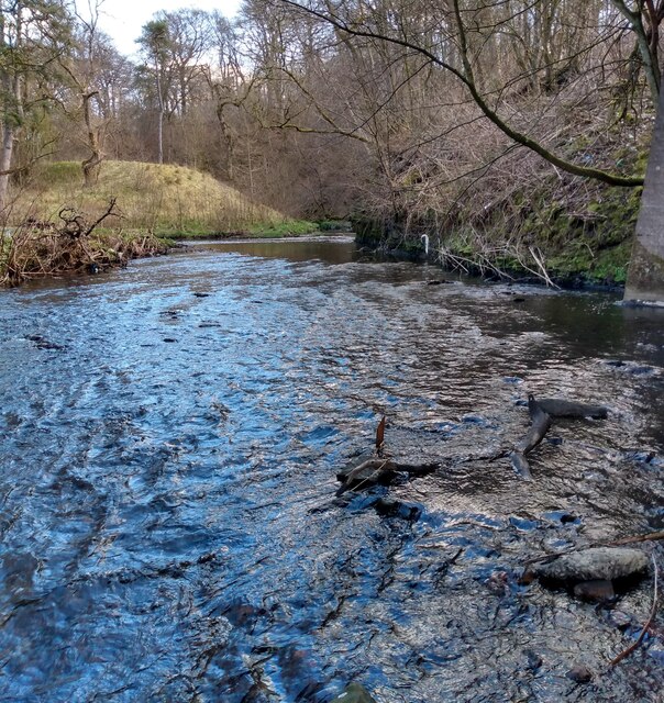
The natural beauty surrounding Dunrobin is a major draw for nature enthusiasts. The village is situated near the Clyde Valley, known for its stunning landscapes, lush greenery, and serene river walks. Outdoor activities such as hiking, cycling, and fishing are popular among locals and visitors alike.

Dunrobin also benefits from its proximity to larger towns and cities. Glasgow city center can be reached within a short drive, offering a wide range of cultural attractions, shopping centers, and employment opportunities.

Overall, Dunrobin is a delightful village that offers a peaceful countryside setting, a rich history, and easy access to nearby urban centers.

If you have any feedback on the listing, please let us know in the comments section below.
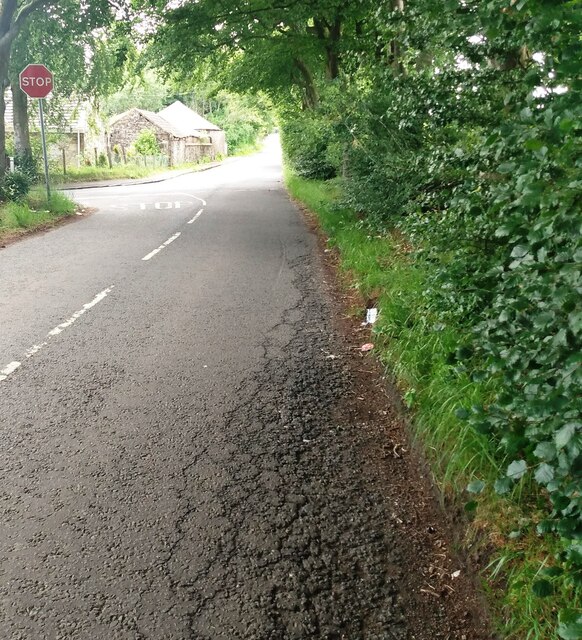
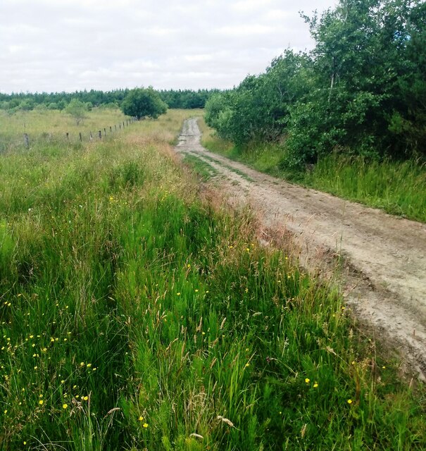
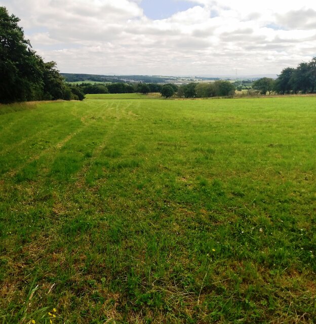
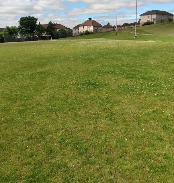
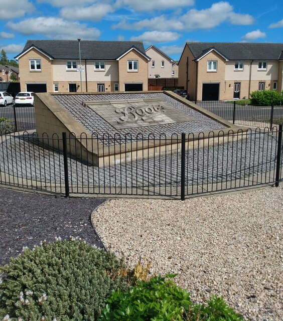
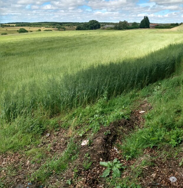
Dunrobin Images

Images are sourced within 2km of 55.867052/-3.9428258 or Grid Reference NS7865. Thanks to Geograph Open Source API. All images are credited.

Easter Moffat Golf Course Looking to the high point of the course 217m
Easter Moffat Golf Course
Looking to the high point of the course 217m
Look both ways Warning to golfers crossing Stepends Road
Look both ways
Warning to golfers crossing Stepends Road
Stepends Road Easter Moffat golf course lies on either side
Stepends Road
Easter Moffat golf course lies on either side
The Episcopal Church of St.Paul and St. John the Evangelist, Monklands Built in 1897 to a design by Henry Denison Walton.
The Episcopal Church of St.Paul and St. John the Evangelist, Monklands
Built in 1897 to a design by Henry Denison Walton.
Villas, Drumbathie Road, Airdrie
Waterfall: Clattering Burn Side view
Waterfall: Clattering Burn
Side view
Bridge: Craigens Road Taking road over Clattering Burn
Bridge: Craigens Road
Taking road over Clattering Burn
View from Craigens Road With electricity pylon and wind turbine
View from Craigens Road
With electricity pylon and wind turbine
Wind turbine near Chapelhall Viewed from the M8 motorway, just east of Junction 6.
Wind turbine near Chapelhall
Viewed from the M8 motorway, just east of Junction 6.
Monkland Bridge Carries A73 between Chapelhall and Airdrie. 
Arched section would appears to be the original when road was narrower.
Monkland Bridge
Carries A73 between Chapelhall and Airdrie. Arched section would appears to be the original when road was narrower.
North Calder at Monkland Bridge North Calder flows in from left at its confluence with Shotts Burn
North Calder at Monkland Bridge
North Calder flows in from left at its confluence with Shotts Burn
The old with the new A mobile phone mast beside a chapel and school ruin which is over 100 years old
The old with the new
A mobile phone mast beside a chapel and school ruin which is over 100 years old
Junction on Ballochney Road There is a stop sign but going straight ahead continues as Ballochney Road
Junction on Ballochney Road
There is a stop sign but going straight ahead continues as Ballochney Road
Track north of Ballochney Road Leading into area of reclaimed opencast
Track north of Ballochney Road
Leading into area of reclaimed opencast
Silage has been lifted Large grass field at Meadowhead
Silage has been lifted
Large grass field at Meadowhead
Football pitch: Rawyards This was previously a red ash pitch which I mistakenly assumed would become an all weather pitch
<a href="https://www.geograph.org.uk/photo/1227124">NS7766 : Rawyards park</a>
Football pitch: Rawyards
This was previously a red ash pitch which I mistakenly assumed would become an all weather pitch NS7766 : Rawyards park
Housing development on former Boots Factory site Panel from front of building as a memorial
<a href="https://www.geograph.org.uk/photo/1227119">NS7766 : Boots factory: Airdrie</a>
Housing development on former Boots Factory site
Panel from front of building as a memorial NS7766 : Boots factory: Airdrie
Field of Barley With a patch of oats at the edge
Field of Barley
With a patch of oats at the edge
Show me another place!

Dunrobin is located at Grid Ref: NS7865 (Lat: 55.867052, Lng: -3.9428258)

Unitary Authority: North Lanarkshire

Police Authority: Lanarkshire

What 3 Words

///sober.fluid.supporter. Near Plains, North Lanarkshire

Nearby Locations

Clarkston Dunrobin

Related Wikis

Wester Moffat Hospital

Wester Moffat Hospital is a health facility in Towers Road, Airdrie, North Lanarkshire, Scotland. It is managed by NHS Lanarkshire. It is a Grade B listed...

Drumgelloch railway station

Drumgelloch railway station is a railway station serving the east of Airdrie, North Lanarkshire, Scotland. It is located 600 yards (550 m) east of the...

Drumgelloch railway station (1989)

Drumgelloch railway station was a railway station serving Drumgelloch, an eastern suburb of Airdrie, North Lanarkshire, Scotland. The station was managed...

Glenflagler distillery

Glenflagler distillery, (also known as Glen Flagler) is a inactive Scotch single malt whisky distillery in Airdrie, North Lanarkshire, Scotland. It produced...

Excelsior Stadium

The Excelsior Stadium is a football stadium in Airdrie, North Lanarkshire, Scotland. It is the home ground of Airdrieonians of the Scottish Professional...

Gartcairn F. A. Juniors

Gartcairn Football Academy Juniors, commonly referred to as Gartcairn Juniors, are a Scottish semi-professional football club from the town of Airdrie...

Gartcairn W.F.C.

Gartcairn W.F.C. is a Scottish women's football team based in Airdrie, North Lanarkshire that play in the SWPL 2. == History == The team was established...

Plains, North Lanarkshire

Plains is a village outside the town of Airdrie, in North Lanarkshire, Scotland, about 14 miles (23 km) east of Glasgow city centre and 32 miles (51 km...

Nearby Amenities

Located within 500m of 55.867052,-3.9428258
Drumgelloch
Public Transport: stop_position
Railway: stop
Train: yes
Wikidata: Q5309156
Wikipedia: en:Drumgelloch railway station
Lat/Long: 55.867823/-3.9480352
Traffic Signals
Lat/Long: 55.8706364/-3.9459576
Barrier: bollard
Bicycle: yes
Foot: yes
Horse: yes
Motor Vehicle: no
Lat/Long: 55.866222/-3.9477353
Noexit: yes
Lat/Long: 55.8683999/-3.9472961
Traffic Signals
Lat/Long: 55.8702785/-3.946709
Dunrobin
Is In: North Lanarkshire
Place: suburb
Postal Code: ML6
Lat/Long: 55.8681231/-3.9383761
Noexit: yes
Lat/Long: 55.8667038/-3.9428035
Noexit: yes
Lat/Long: 55.8671041/-3.9451397
Noexit: yes
Lat/Long: 55.8664811/-3.9467518
Noexit: yes
Lat/Long: 55.8673256/-3.9442487
Noexit: yes
Lat/Long: 55.8667355/-3.9459094
Noexit: yes
Lat/Long: 55.865965/-3.9480681
Noexit: yes
Lat/Long: 55.8656279/-3.947875
Noexit: yes
Lat/Long: 55.8683616/-3.9429504
Noexit: yes
Lat/Long: 55.866653/-3.9419873
Barrier: bollard
Bicycle: yes
Foot: yes
Horse: yes
Motor Vehicle: no
Lat/Long: 55.8652789/-3.9496597
Bicycle Parking
Bicycle Parking: stands
Capacity: 30
Covered: yes
Lat/Long: 55.8676165/-3.948732
Crossing
Crossing: zebra
Lat/Long: 55.8678561/-3.9485229
Crossing
Crossing: zebra
Lat/Long: 55.8683202/-3.9475637
Crossing
Crossing: zebra
Lat/Long: 55.8682349/-3.949123
Crossing
Crossing: traffic_signals
Lat/Long: 55.8702907/-3.9465943
Crossing
Crossing: traffic_signals
Lat/Long: 55.8680991/-3.9437216
Noexit: yes
Lat/Long: 55.8693232/-3.9485399
Crossing
Crossing: traffic_signals
Lat/Long: 55.8706045/-3.9460662
Drumgelloch
Name Gd: Druim Gailleach
Naptan AtcoCode: 9100DRMGLCH
Network: National Rail
Public Transport: stop_position
Railway: stop
Train: yes
Lat/Long: 55.867803/-3.9479991
Crossing
Crossing: zebra
Lat/Long: 55.8682495/-3.9478072
Crossing
Crossing: zebra
Lat/Long: 55.8680403/-3.9482622
Crossing
Crossing: zebra
Lat/Long: 55.8679361/-3.9484987
Crossing
Crossing: zebra
Lat/Long: 55.8678272/-3.9487354
Crossing
Crossing: zebra
Lat/Long: 55.8677189/-3.9489656
Crossing
Crossing: zebra
Lat/Long: 55.8676134/-3.9491941
Vending Machine
Check Date: 2023-04-08
Currency GBP: yes
Operator: Abellio ScotRail
Payment Credit Cards: yes
Vending: public_transport_tickets
Lat/Long: 55.8677094/-3.9484584
Tesco Express
Brand: Tesco Express
Brand Wikidata: Q98456772
Brand Wikipedia: en:Tesco
Contact Website: https://www.tesco.com/store-locator/airdrie/connor-st
Operator: Tesco
Shop: convenience
Lat/Long: 55.8709183/-3.9456861
Atm
Lat/Long: 55.8709312/-3.945825
William Hill
Brand: William Hill
Brand Wikidata: Q4053147
Brand Wikipedia: en:William Hill (bookmaker)
Shop: bookmaker
Lat/Long: 55.870991/-3.9458906
Drumgelloch
Name Gd: Druim Gailleach
Naptan AtcoCode: 9100DRMGLCH
Network: National Rail
Network Website: https://www.nationalrail.co.uk/stations/dru/
Network Wikidata: Q26334
Operator: ScotRail
Operator Website: https://www.scotrail.co.uk/plan-your-journey/stations-and-facilities/dru
Operator Wikidata: Q18356161
Public Transport: station
Railway: station
Ref Crs: DRU
Train: yes
Wikidata: Q5309156
Wikipedia: en:Drumgelloch railway station
Lat/Long: 55.8676763/-3.9483149
Barrier: fence
Lat/Long: 55.8705722/-3.9410603
Charging Station
Access: yes
Lat/Long: 55.8685937/-3.9481034
Crossing
Crossing: marked
Lat/Long: 55.8643952/-3.9483362
Noexit: yes
Lat/Long: 55.8672642/-3.9473184
Noexit: yes
Lat/Long: 55.8677378/-3.9415921
Noexit: yes
Lat/Long: 55.8702502/-3.9453605
Noexit: yes
Lat/Long: 55.8703348/-3.94562
Noexit: yes
Lat/Long: 55.8687392/-3.9447945
Traffic Calming: cushion
Lat/Long: 55.8683314/-3.9458594
Traffic Calming: cushion
Lat/Long: 55.8677357/-3.9470043
Generator Method: photovoltaic
Generator Output Electricity: yes
Generator Source: solar
Generator Type: solar_photovoltaic_panel
Power: generator
Lat/Long: 55.868665/-3.9495584
Give Way
Direction: backward
Lat/Long: 55.8655754/-3.9471116
Give Way
Direction: forward
Lat/Long: 55.865885/-3.945602
Generator Method: photovoltaic
Generator Output Electricity: yes
Generator Source: solar
Generator Type: solar_photovoltaic_panel
Power: generator
Lat/Long: 55.8699376/-3.9467829
Generator Method: photovoltaic
Generator Output Electricity: yes
Generator Source: solar
Generator Type: solar_photovoltaic_panel
Power: generator
Lat/Long: 55.8669411/-3.9486973
Give Way
Direction: forward
Lat/Long: 55.8697479/-3.9459888
Traffic Calming: cushion
Lat/Long: 55.8680354/-3.9465028
Noexit: yes
Lat/Long: 55.8685976/-3.9454044
Generator Method: photovoltaic
Generator Output Electricity: yes
Generator Source: solar
Generator Type: solar_photovoltaic_panel
Power: generator
Lat/Long: 55.8687637/-3.9451017
Generator Method: photovoltaic
Generator Output Electricity: yes
Generator Source: solar
Generator Type: solar_photovoltaic_panel
Power: generator
Lat/Long: 55.8687405/-3.9451596
Generator Method: photovoltaic
Generator Output Electricity: yes
Generator Source: solar
Generator Type: solar_photovoltaic_panel
Power: generator
Lat/Long: 55.8687071/-3.9453531
Generator Method: photovoltaic
Generator Output Electricity: yes
Generator Source: solar
Generator Type: solar_photovoltaic_panel
Power: generator
Lat/Long: 55.8686811/-3.945406
Generator Method: photovoltaic
Generator Output Electricity: yes
Generator Source: solar
Generator Type: solar_photovoltaic_panel
Power: generator
Lat/Long: 55.8686236/-3.9455317
Generator Method: photovoltaic
Generator Output Electricity: yes
Generator Source: solar
Generator Type: solar_photovoltaic_panel
Power: generator
Lat/Long: 55.8685623/-3.9456541
Generator Method: photovoltaic
Generator Output Electricity: yes
Generator Source: solar
Generator Type: solar_photovoltaic_panel
Power: generator
Lat/Long: 55.8684844/-3.9458361
Generator Method: photovoltaic
Generator Output Electricity: yes
Generator Source: solar
Generator Type: solar_photovoltaic_panel
Power: generator
Lat/Long: 55.8684222/-3.9459915
Generator Method: photovoltaic
Generator Output Electricity: yes
Generator Source: solar
Generator Type: solar_photovoltaic_panel
Power: generator
Lat/Long: 55.8683897/-3.9460775
Generator Method: photovoltaic
Generator Output Electricity: yes
Generator Source: solar
Generator Type: solar_photovoltaic_panel
Power: generator
Lat/Long: 55.8683313/-3.9462049
Generator Method: photovoltaic
Generator Output Electricity: yes
Generator Source: solar
Generator Type: solar_photovoltaic_panel
Power: generator
Lat/Long: 55.8682747/-3.9463289
Generator Method: photovoltaic
Generator Output Electricity: yes
Generator Source: solar
Generator Type: solar_photovoltaic_panel
Power: generator
Lat/Long: 55.8682181/-3.9464579
Generator Method: photovoltaic
Generator Output Electricity: yes
Generator Source: solar
Generator Type: solar_photovoltaic_panel
Power: generator
Lat/Long: 55.8681271/-3.9465786
Generator Method: photovoltaic
Generator Output Electricity: yes
Generator Source: solar
Generator Type: solar_photovoltaic_panel
Power: generator
Lat/Long: 55.8681039/-3.9466663
Generator Method: photovoltaic
Generator Output Electricity: yes
Generator Source: solar
Generator Type: solar_photovoltaic_panel
Power: generator
Lat/Long: 55.867974/-3.9468532
Generator Method: photovoltaic
Generator Output Electricity: yes
Generator Source: solar
Generator Type: solar_photovoltaic_panel
Power: generator
Lat/Long: 55.867922/-3.9469293
Generator Method: photovoltaic
Generator Output Electricity: yes
Generator Source: solar
Generator Type: solar_photovoltaic_panel
Power: generator
Lat/Long: 55.8678598/-3.9470831
Generator Method: photovoltaic
Generator Output Electricity: yes
Generator Source: solar
Generator Type: solar_photovoltaic_panel
Power: generator
Lat/Long: 55.8677967/-3.9472204
Generator Method: photovoltaic
Generator Output Electricity: yes
Generator Source: solar
Generator Type: solar_photovoltaic_panel
Power: generator
Lat/Long: 55.8676826/-3.947437
Generator Method: photovoltaic
Generator Output Electricity: yes
Generator Source: solar
Generator Type: solar_photovoltaic_panel
Power: generator
Lat/Long: 55.867716/-3.9473609
Generator Method: photovoltaic
Generator Output Electricity: yes
Generator Source: solar
Generator Type: solar_photovoltaic_panel
Power: generator
Lat/Long: 55.8674061/-3.9474205
Generator Method: photovoltaic
Generator Output Electricity: yes
Generator Source: solar
Generator Type: solar_photovoltaic_panel
Power: generator
Lat/Long: 55.8676399/-3.9475958
Generator Method: photovoltaic
Generator Output Electricity: yes
Generator Source: solar
Generator Type: solar_photovoltaic_panel
Power: generator
Lat/Long: 55.8675796/-3.9477165
Generator Method: photovoltaic
Generator Output Electricity: yes
Generator Source: solar
Generator Type: solar_photovoltaic_panel
Power: generator
Lat/Long: 55.8678886/-3.9463802
Generator Method: photovoltaic
Generator Output Electricity: yes
Generator Source: solar
Generator Type: solar_photovoltaic_panel
Power: generator
Lat/Long: 55.8679322/-3.9462793
Generator Method: photovoltaic
Generator Output Electricity: yes
Generator Source: solar
Generator Type: solar_photovoltaic_panel
Power: generator
Lat/Long: 55.8679963/-3.9461536
Generator Method: photovoltaic
Generator Output Electricity: yes
Generator Source: solar
Generator Type: solar_photovoltaic_panel
Power: generator
Lat/Long: 55.8680278/-3.9460494
Generator Method: photovoltaic
Generator Output Electricity: yes
Generator Source: solar
Generator Type: solar_photovoltaic_panel
Power: generator
Lat/Long: 55.8680724/-3.9458923
Generator Method: photovoltaic
Generator Output Electricity: yes
Generator Source: solar
Generator Type: solar_photovoltaic_panel
Power: generator
Lat/Long: 55.8681308/-3.9457782
Generator Method: photovoltaic
Generator Output Electricity: yes
Generator Source: solar
Generator Type: solar_photovoltaic_panel
Power: generator
Lat/Long: 55.8681893/-3.9456012
Generator Method: photovoltaic
Generator Output Electricity: yes
Generator Source: solar
Generator Type: solar_photovoltaic_panel
Power: generator
Lat/Long: 55.8682542/-3.9454524
Generator Method: photovoltaic
Generator Output Electricity: yes
Generator Source: solar
Generator Type: solar_photovoltaic_panel
Power: generator
Lat/Long: 55.8682839/-3.9452919
Generator Method: photovoltaic
Generator Output Electricity: yes
Generator Source: solar
Generator Type: solar_photovoltaic_panel
Power: generator
Lat/Long: 55.8684491/-3.9449066
Generator Method: photovoltaic
Generator Output Electricity: yes
Generator Source: solar
Generator Type: solar_photovoltaic_panel
Power: generator
Lat/Long: 55.8684036/-3.9450471
Generator Method: photovoltaic
Generator Output Electricity: yes
Generator Source: solar
Generator Type: solar_photovoltaic_panel
Power: generator
Lat/Long: 55.8683693/-3.9451497
Generator Method: photovoltaic
Generator Output Electricity: yes
Generator Source: solar
Generator Type: solar_photovoltaic_panel
Power: generator
Lat/Long: 55.8685837/-3.944594
Generator Method: photovoltaic
Generator Output Electricity: yes
Generator Source: solar
Generator Type: solar_photovoltaic_panel
Power: generator
Lat/Long: 55.8685531/-3.9446469
Generator Method: photovoltaic
Generator Output Electricity: yes
Generator Source: solar
Generator Type: solar_photovoltaic_panel
Power: generator
Lat/Long: 55.868528/-3.9447114
Generator Method: photovoltaic
Generator Output Electricity: yes
Generator Source: solar
Generator Type: solar_photovoltaic_panel
Power: generator
Lat/Long: 55.8684955/-3.9447743
Give Way
Direction: forward
Lat/Long: 55.8652909/-3.9405312
Noexit: yes
Lat/Long: 55.8682804/-3.9430139
Generator Method: photovoltaic
Generator Output Electricity: yes
Generator Source: solar
Generator Type: solar_photovoltaic_panel
Power: generator
Lat/Long: 55.8682654/-3.9424902
Give Way
Direction: forward
Lat/Long: 55.8662357/-3.9439291
Give Way
Direction: backward
Lat/Long: 55.8663299/-3.9437663
Give Way
Direction: backward
Lat/Long: 55.8666011/-3.9425362
Noexit: yes
Lat/Long: 55.8709041/-3.9408935
Bus Stop
Clarkston, Forrest Street opp 111 Forrest Street
Bus: yes
Departures Board: timetable
Naptan AtcoCode: 61601050
Naptan NaptanCode: 65234957
Public Transport: platform
Shelter: no
Lat/Long: 55.8688359/-3.9498776
Bus Stop
Clarkston, Forrest Street opp Springfield Road
Bus: yes
Departures Board: timetable
Naptan AtcoCode: 61601051
Naptan NaptanCode: 65234847
Public Transport: platform
Shelter: no
Lat/Long: 55.8696702/-3.9482584
Bus Stop
Clarkston, Forrest Street after Towers Road
Bus: yes
Departures Board: timetable
Naptan AtcoCode: 61601052
Naptan NaptanCode: 65235383
Public Transport: platform
Shelter: yes
Lat/Long: 55.8695969/-3.94804
Bus Stop
Petersburn, Towers road opp Dunrobin Road
Bus: yes
Departures Board: timetable
Naptan AtcoCode: 61602111
Naptan NaptanCode: 65258562
Public Transport: platform
Shelter: no
Lat/Long: 55.8685536/-3.9441793
Bus Stop
Petersburn, Towers Road before Dunrobin Road
Bus: yes
Departures Board: timetable
Public Transport: platform
Shelter: no
Lat/Long: 55.8676031/-3.9433628
Bus Stop
Airdrie, Towers Road at Caldervale High School
Bus: yes
Departures Board: timetable
Public Transport: platform
Shelter: no
Lat/Long: 55.8667771/-3.9424984
Bus Stop
Airdrie, Towers Road opp Caldervale High School
Bus: yes
Departures Board: timetable
Public Transport: platform
Shelter: yes
Lat/Long: 55.8661874/-3.9420055
Generator Method: photovoltaic
Generator Output Electricity: yes
Generator Source: solar
Generator Type: solar_photovoltaic_panel
Location: roof
Power: generator
Lat/Long: 55.8656715/-3.9385353
Barrier: cycle_barrier
Lat/Long: 55.8689301/-3.9443737
The data included in this document is from www.openstreetmap.org. The data is made available under ODbL.

Have you been to Dunrobin?

Leave your review of Dunrobin below (or comments, questions and feedback).