Dunans

Settlement in Inverness-shire

Scotland

Dunans

Staffin Bay at Glashvin
Staffin Bay at Glashvin Credit: Elliott Simpson

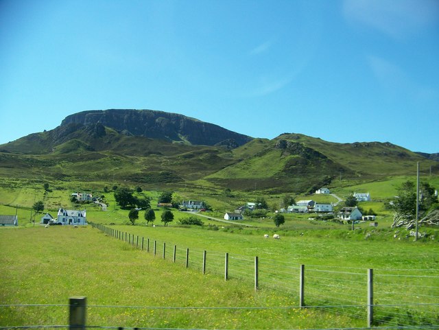
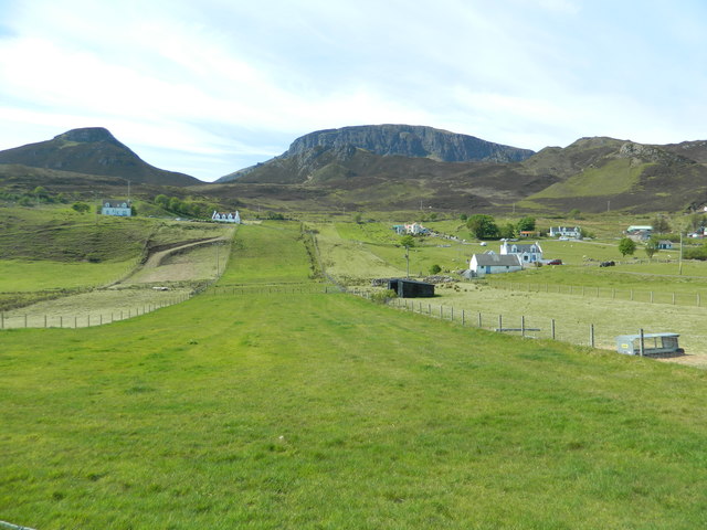
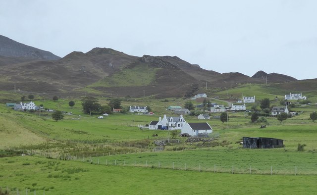
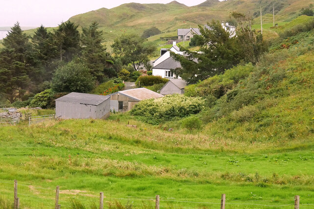
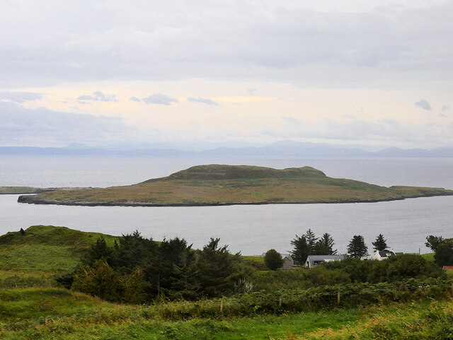
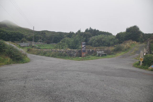
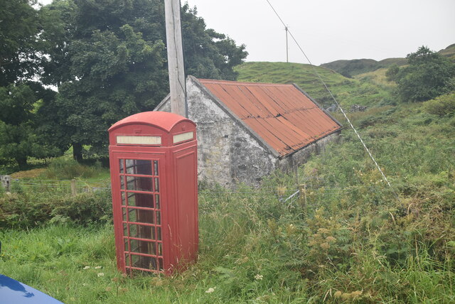
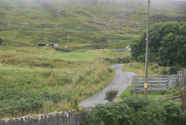
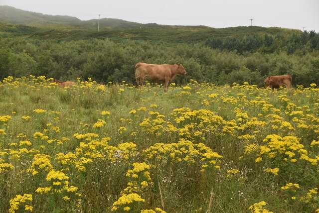
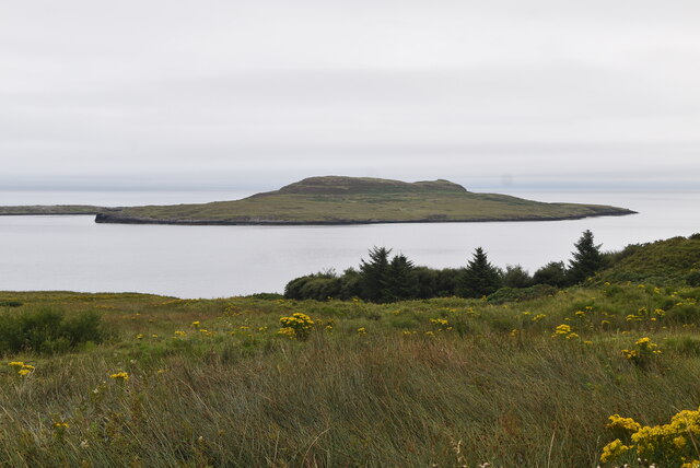
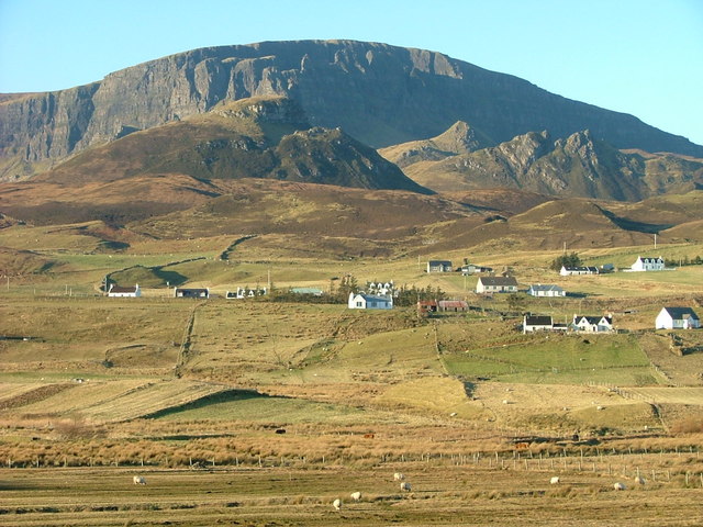
Dunans is a small village located in the county of Inverness-shire, Scotland. Situated on the west coast of the country, it is nestled within the stunning scenery of the Scottish Highlands. The village is known for its picturesque setting, with rolling hills, lush green landscapes, and breathtaking views of the nearby Loch Fyne.

Dunans is home to a small population, primarily made up of local residents who appreciate the tranquility and natural beauty of the area. The village offers a peaceful retreat for those seeking a break from the bustling city life. The residents are known for their warm hospitality and friendly nature, making visitors feel welcome and at home.

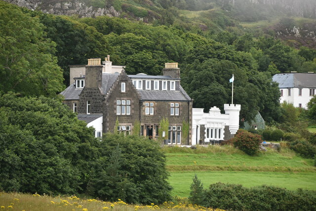
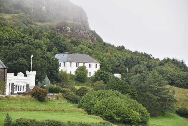
One of the prominent landmarks in Dunans is Dunans Castle, which dates back to the 19th century. It is a magnificent structure that stands proudly overlooking the village. The castle has a rich history and has undergone extensive restoration in recent years. It now serves as a venue for weddings, events, and conferences, attracting visitors from far and wide.

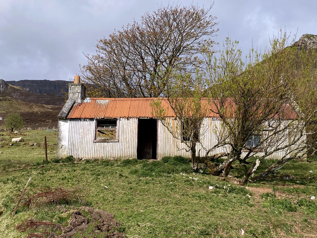
The surrounding area offers several outdoor activities such as hiking, fishing, and bird-watching, allowing visitors to immerse themselves in the natural wonders of the Highlands. Additionally, Dunans is located within driving distance of various attractions, including the historic town of Inveraray with its iconic castle and the popular Loch Lomond and The Trossachs National Park.

Dunans is a hidden gem, offering a tranquil escape into the heart of Scotland's natural beauty, making it an ideal destination for nature lovers and those seeking a peaceful retreat.

If you have any feedback on the listing, please let us know in the comments section below.

Dunans Images

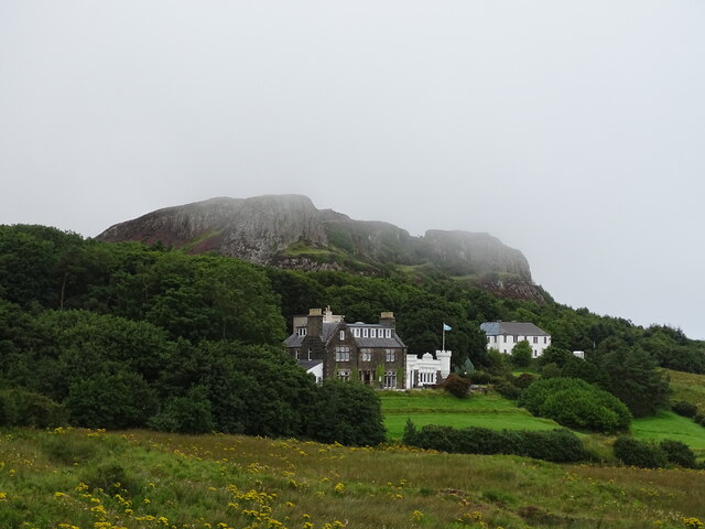
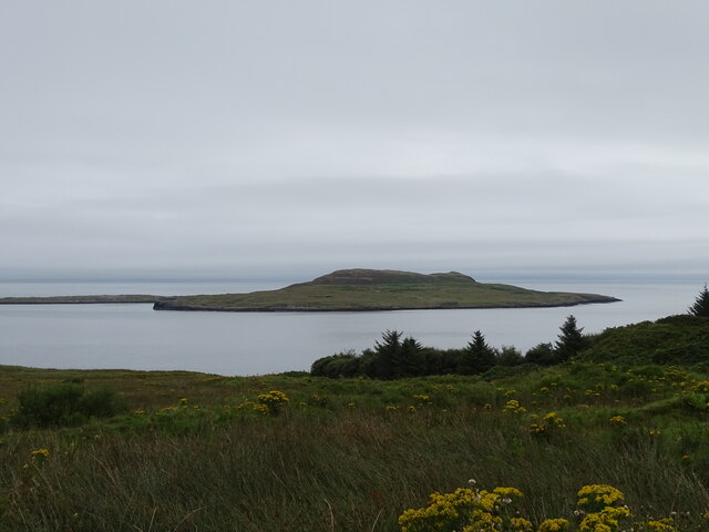
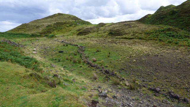
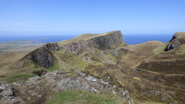
Images are sourced within 2km of 57.650464/-6.2412737 or Grid Reference NG4770. Thanks to Geograph Open Source API. All images are credited.

Staffin Bay at Glashvin
The township of Digg
Township of Digg
Township of Digg
Corrugated iron house at Digg It seems to have deteriorated very little since Dave Fergusson pictured it 11 years earlier. 
<a href="https://www.geograph.org.uk/photo/1234687">NG4669 : Corrugated building at Digg</a>
Corrugated iron house at Digg
It seems to have deteriorated very little since Dave Fergusson pictured it 11 years earlier. NG4669 : Corrugated building at Digg
Digg / An Dig A village in the shadow of Dun Vallerain.
Digg / An Dig
A village in the shadow of Dun Vallerain.
Flodigarry Hotel
Flodigarry Hotel
Eilean Flodigarry
Eilean Flodigarry
Old Field Boundary at Lochan nan Dunan
Rocks, Cliffs and Sea A truly spectacular vista.
Rocks, Cliffs and Sea
A truly spectacular vista.
Flodigarry
Flodigarry
Eilean Flodigarry The small island of Eilean Flodigarry (Eilean Fhlòdaigearraidh) lies less than 1 kilometre off the north east coast of the Trotternish peninsula with Sgeir na h-Èireann just beyond to the north east.
Eilean Flodigarry
The small island of Eilean Flodigarry (Eilean Fhlòdaigearraidh) lies less than 1 kilometre off the north east coast of the Trotternish peninsula with Sgeir na h-Èireann just beyond to the north east.
Road junction, Flodigarry
Telephone Kiosk, Flodigarry The iconic red telephone kiosk was the result of a competition in 1924 to design a telephone box suitable for London Metropolitan Boroughs. A design by Giles Gilbert Scott, a British Architect, was chosen. The box, to be known as the K2 was deployed in London in 1926. The post office suggested it be painted red.

The K6 was introduced in 1935, designed to commemorate the silver jubilee of King George V. It was a smaller version of the K2, and went on to be installed prolifically around the country. It is the most recognised and iconic telephone box, that many people around  the world are familiar with. The first K6 is still to be found outside the Royal Academy of Art in London.

Other versions of the red telephone box were designed and implemented but none were ever to survive the popularity of the K6.

Over 240,000 red telephone boxes were built between the 1920s and 1980s.
BT had replaced many red telephone boxes during the 1980s and 90s with the aluminium KX100, leading to English Heritage to designate over 2000 as listed structures. Only 9400 K6's remain. 

BT offered councils to 'adopt-a-kiosk' for £1 to keep local K6's in place. Many have found alternate uses as mini libraries/book exchanges & art galleries, and even for storage of heart defibrillators.
Telephone Kiosk, Flodigarry
The iconic red telephone kiosk was the result of a competition in 1924 to design a telephone box suitable for London Metropolitan Boroughs. A design by Giles Gilbert Scott, a British Architect, was chosen. The box, to be known as the K2 was deployed in London in 1926. The post office suggested it be painted red. The K6 was introduced in 1935, designed to commemorate the silver jubilee of King George V. It was a smaller version of the K2, and went on to be installed prolifically around the country. It is the most recognised and iconic telephone box, that many people around the world are familiar with. The first K6 is still to be found outside the Royal Academy of Art in London. Other versions of the red telephone box were designed and implemented but none were ever to survive the popularity of the K6. Over 240,000 red telephone boxes were built between the 1920s and 1980s. BT had replaced many red telephone boxes during the 1980s and 90s with the aluminium KX100, leading to English Heritage to designate over 2000 as listed structures. Only 9400 K6's remain. BT offered councils to 'adopt-a-kiosk' for £1 to keep local K6's in place. Many have found alternate uses as mini libraries/book exchanges & art galleries, and even for storage of heart defibrillators.
Minor road, Flodigarry
Cattle, Flodigarry
Cattle, Flodigarry
Flodigarry Hotel
Flodigarry Hotel
Dunflodigarry
Dunflodigarry
View to Eilean Flodigarry
Show me another place!

Dunans is located at Grid Ref: NG4770 (Lat: 57.650464, Lng: -6.2412737)

Unitary Authority: Highland

Police Authority: Highlands and Islands

What 3 Words

///income.marbles.videos. Near Uig, Highland

Nearby Locations

Dunans

Related Wikis

Brogaig

Brogaig (Scottish Gaelic: Brògaig), Norse for Burgh Bay, is a small coastal village, on the northwest coast of the Trotternish peninsula, close to Staffin...

Quiraing

The Quiraing (Scottish Gaelic: A' Chuith-Raing) is a landslip on the eastern face of Meall na Suiramach, the northernmost summit of the Trotternish on...

Trotternish

Trotternish or Tròndairnis (Scottish Gaelic) is the northernmost peninsula of the Isle of Skye, in Scotland. Its most northerly point, Rubha Hùinis, is...

Flodigarry

Flodigarry (Scottish Gaelic: Flòdaigearraidh) is a scattered settlement on the north east side of the Trotternish peninsula on the island of Skye, and...

Nearby Amenities

Located within 500m of 57.650464,-6.2412737
Access: yes
Access Cattle: no
Barrier: cattle_grid
Lat/Long: 57.6496519/-6.2439895
Post Box
Ref: IV51 67
Source: survey
Lat/Long: 57.6502112/-6.2440588
Parking
Lat/Long: 57.6468207/-6.2429566
Barrier: cattle_grid
Source: survey
Lat/Long: 57.650346/-6.243941
Barrier: cattle_grid
Source: survey
Lat/Long: 57.6505002/-6.2420032
Turning Circle
Source: survey
Lat/Long: 57.6492362/-6.240147
Dunans
Name Gd: Na Dùnanan
Place: hamlet
Source: survey
Lat/Long: 57.6503072/-6.240564
Bus Stop
Dunans, Road End
Bus: yes
Naptan AtcoCode: 670086
Naptan NaptanCode: 45343265
Public Transport: platform
Lat/Long: 57.6504596/-6.2441565
Power: pole
Lat/Long: 57.6468026/-6.2458953
Power: pole
Lat/Long: 57.6473476/-6.2462476
Power: pole
Lat/Long: 57.6476751/-6.2464549
Power: pole
Lat/Long: 57.6482869/-6.2468213
Power: pole
Lat/Long: 57.6487652/-6.2471353
Power: pole
Lat/Long: 57.6492133/-6.2474211
Power: pole
Lat/Long: 57.649851/-6.2477794
Power: pole
Lat/Long: 57.6503184/-6.2480693
Power: pole
Lat/Long: 57.650801/-6.2483672
Power: pole
Lat/Long: 57.6512835/-6.2489872
Informal: yes
Sport: swimming
Lat/Long: 57.6474497/-6.2393238
The data included in this document is from www.openstreetmap.org. The data is made available under ODbL.

Have you been to Dunans?

Leave your review of Dunans below (or comments, questions and feedback).