Dulwich Village
Settlement in Surrey
England
Dulwich Village

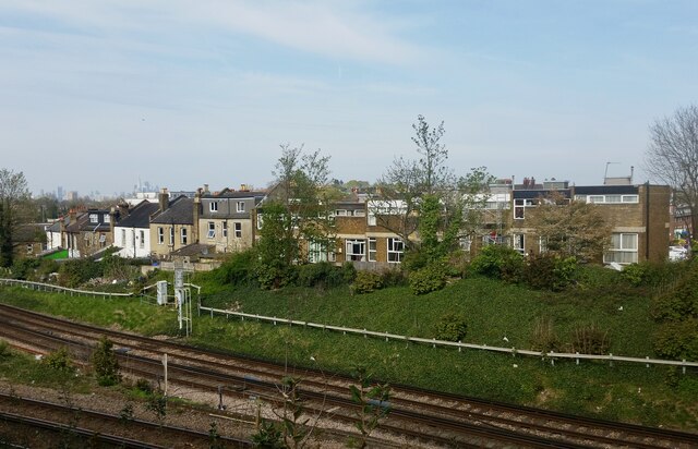
Dulwich Village is a charming and affluent suburb located in the London Borough of Southwark, England. Situated in Surrey, it is renowned for its picturesque streets, green spaces, and historic architecture. The village is nestled between Dulwich Park to the north and Dulwich Wood to the south, offering residents and visitors a peaceful and idyllic setting.
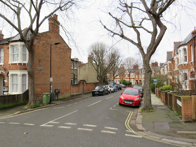
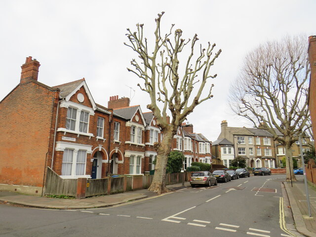
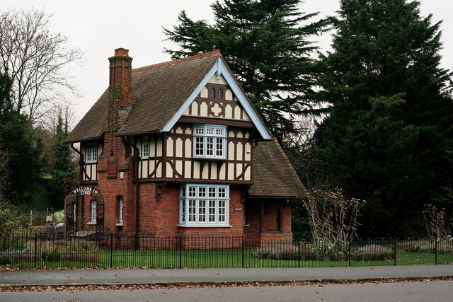
Dulwich Village is well-known for its impressive array of Georgian and Victorian houses, many of which have been carefully preserved over the years. The architecture showcases a mix of grand mansions, quaint cottages, and elegant townhouses, adding to the village's distinctive character and appeal. The area is highly sought after by families and professionals due to its tranquil atmosphere and proximity to central London.
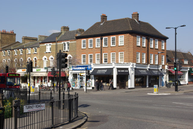
The heart of Dulwich Village is Lordship Lane, a bustling street lined with a variety of independent shops, restaurants, and cafes. Here, visitors can indulge in a range of cuisines, shop for unique gifts, or simply enjoy a leisurely stroll. The village is also home to the Dulwich Picture Gallery, the oldest public art gallery in England, housing an impressive collection of classic and contemporary artworks.
Dulwich Village is well-connected to the rest of London, with excellent transport links including multiple bus routes and nearby train stations. The area is served by several well-regarded schools, making it a popular choice for families. Additionally, the village hosts various community events and festivals throughout the year, further enhancing its vibrant and inclusive atmosphere.
Overall, Dulwich Village offers a harmonious blend of natural beauty, cultural heritage, and bustling amenities, making it a highly desirable place to live or visit in Surrey.
If you have any feedback on the listing, please let us know in the comments section below.
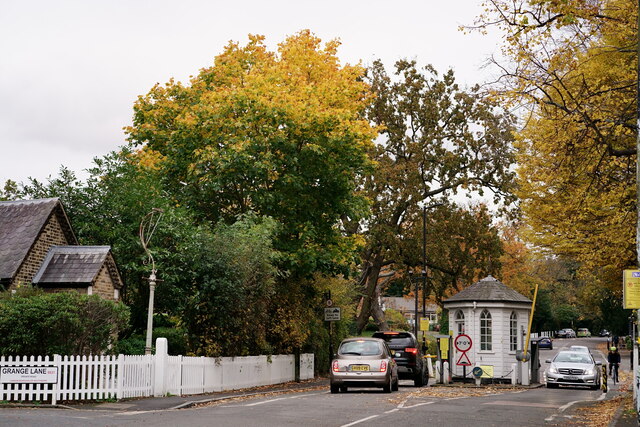
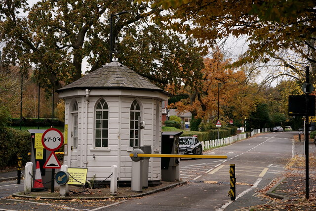
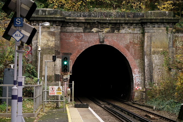
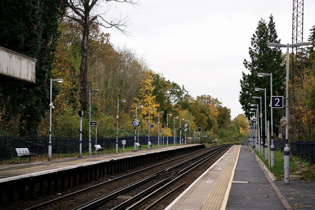
Dulwich Village Images
Images are sourced within 2km of 51.44749/-0.086023262 or Grid Reference TQ3373. Thanks to Geograph Open Source API. All images are credited.


Dulwich Village is located at Grid Ref: TQ3373 (Lat: 51.44749, Lng: -0.086023262)
Unitary Authority: Southwark
Police Authority: Metropolitan
What 3 Words
///modest.nation.proof. Near Brixton, London
Nearby Locations
Related Wikis
Dulwich Village
Dulwich Village is an affluent area of Dulwich in South London, England. It is located in the London Borough of Southwark. == History == "Dulwich Village...
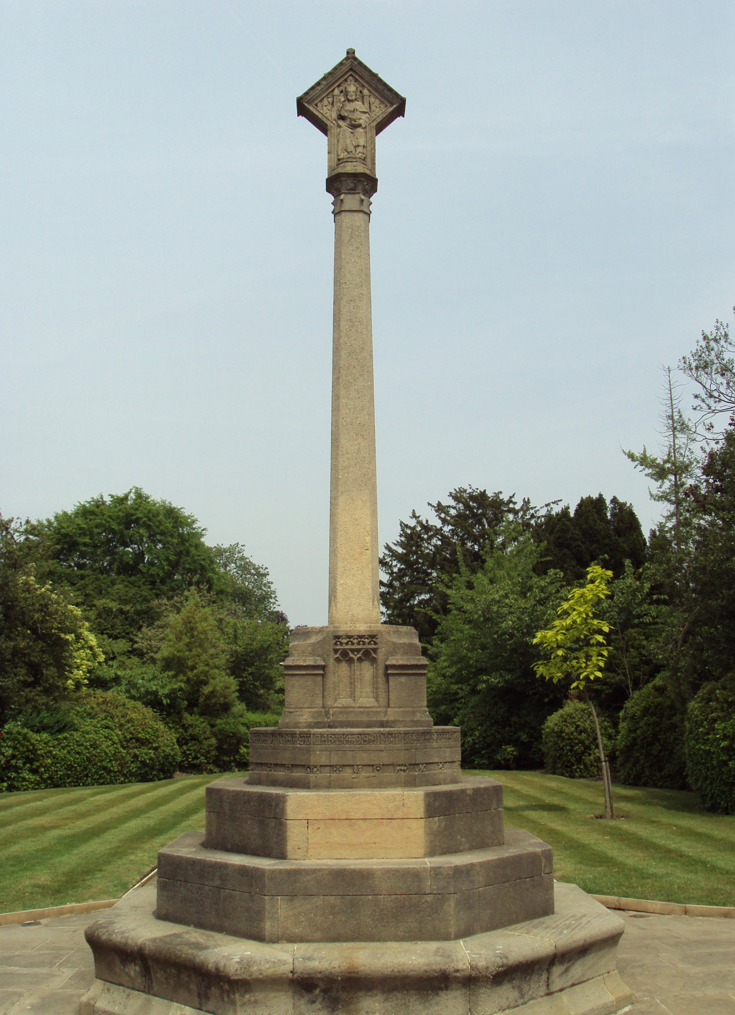
Dulwich Old College War Memorial
The Dulwich Old College War Memorial is located in the forecourt of Dulwich Old College on College Road in Dulwich in the London Borough of Southwark....
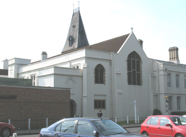
Christ's Chapel of God's Gift
Christ's Chapel of God's Gift is a church in Dulwich, a district of London, within the College of God's Gift complex.It was consecrated in 1616 by George...

Dulwich and West Norwood (UK Parliament constituency)
Dulwich and West Norwood is a constituency in South London created in 1997. It has been represented by Helen Hayes of Labour since her election in 2015...
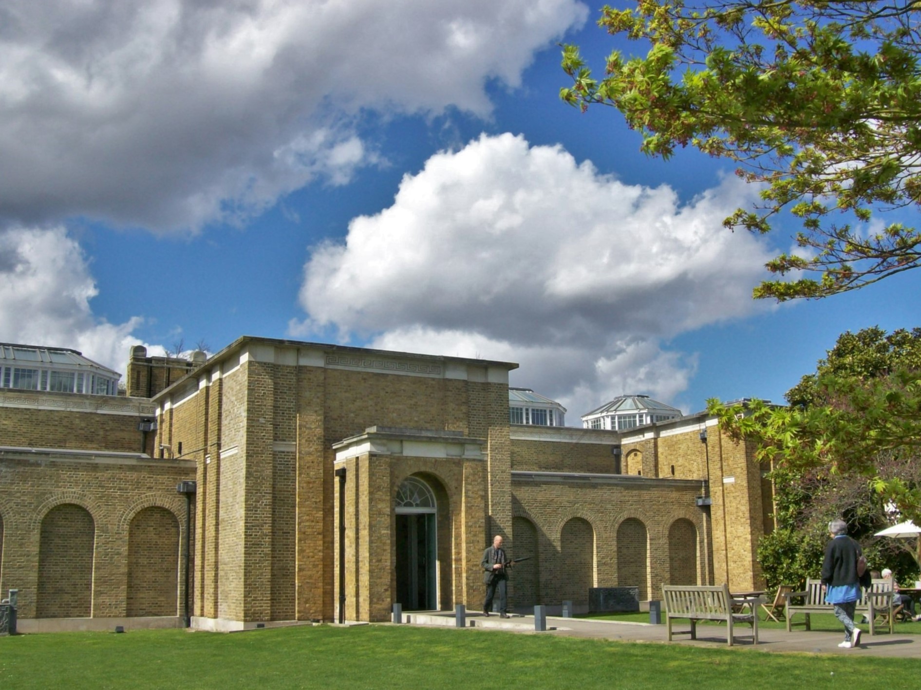
Dulwich Picture Gallery
Dulwich Picture Gallery is an art gallery in Dulwich, South London. It opened to the public in 1817 and was designed by the Regency architect Sir John...

The Crown and Greyhound
The Crown and Greyhound is a Grade II listed public house at 73 Dulwich Village, Dulwich, London. It is classified by CAMRA as a pub with a regionally...
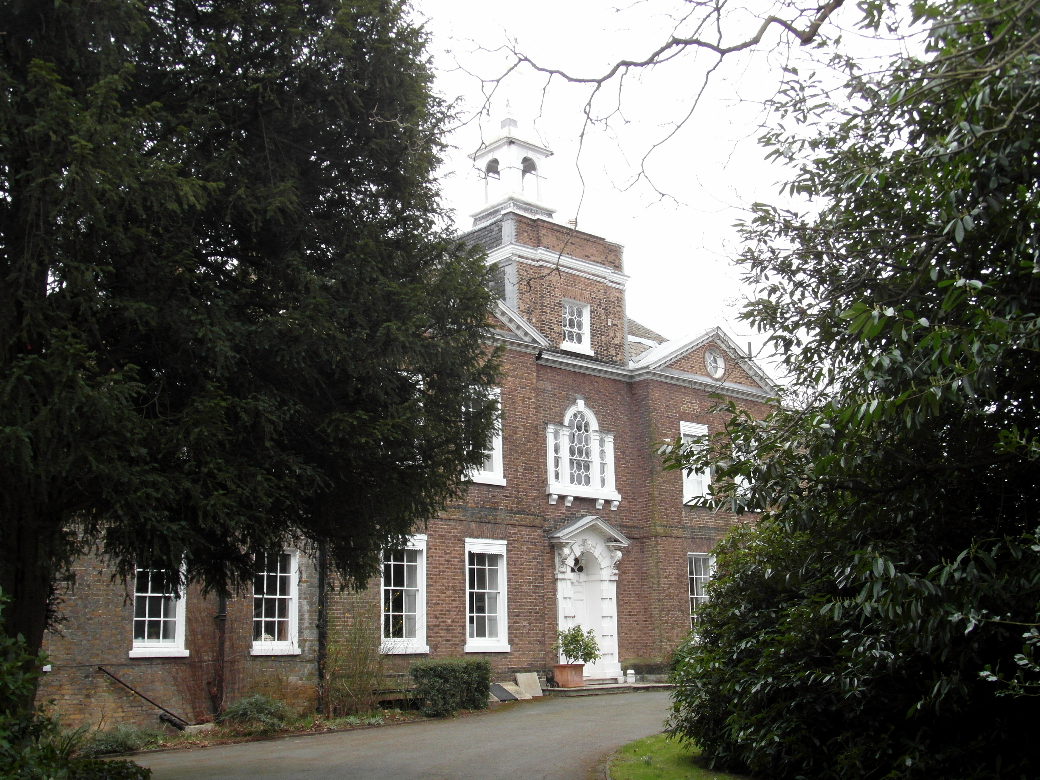
Bell House, Dulwich
Bell House is a large Georgian house on College Road in Dulwich, South East London. It is Grade II* listed on the National Heritage List for England. It...

Old College Lawn Tennis and Croquet Club
The Old College Lawn Tennis and Croquet Club is in West Dulwich, Southwark, southeast London, England, to the east off Gallery Road. The "Old College"...
Nearby Amenities
Located within 500m of 51.44749,-0.086023262Have you been to Dulwich Village?
Leave your review of Dulwich Village below (or comments, questions and feedback).