Dry Gill
Settlement in Yorkshire Craven
England
Dry Gill
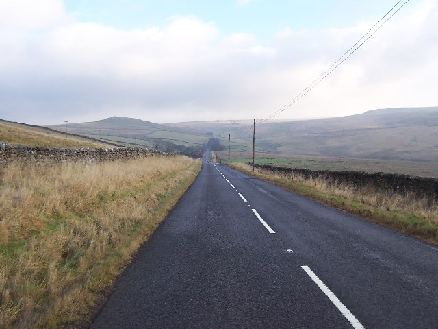
Dry Gill is a small, picturesque village located in the stunning Yorkshire Dales National Park in North Yorkshire, England. Nestled within the rolling hills and verdant valleys, the village is surrounded by breathtaking natural beauty. It is situated about 5 miles southeast of the town of Leyburn and is easily accessible by road.
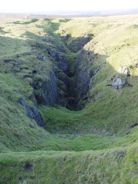
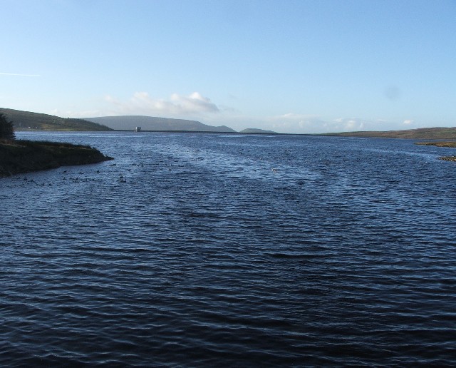
The village gets its name from the nearby stream called Dry Gill, which runs through the heart of the village. The stream is known for its crystal-clear waters and its importance as a water source for the local community.
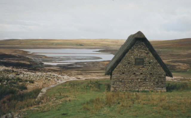
Dry Gill is characterized by its traditional stone-built houses, which add to its rural charm. The village has a close-knit community, with a population of around 300 residents. There are a few amenities in the village, including a village hall, a local pub, and a small convenience store.
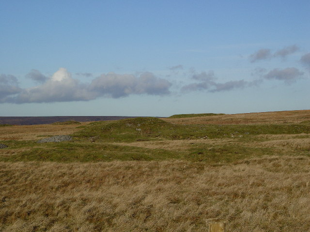
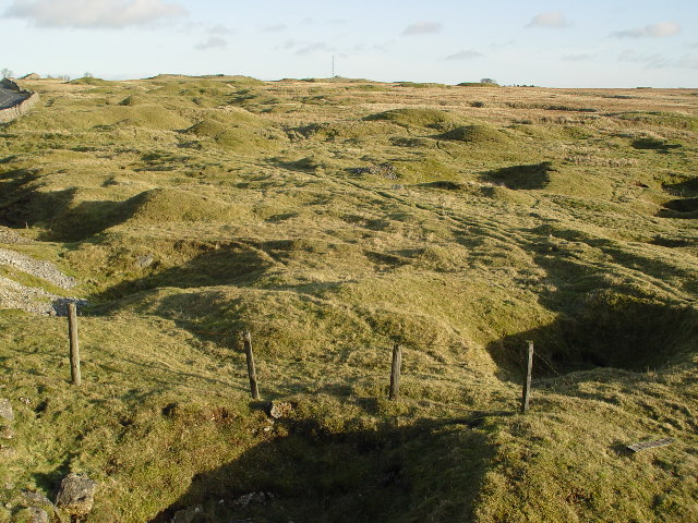
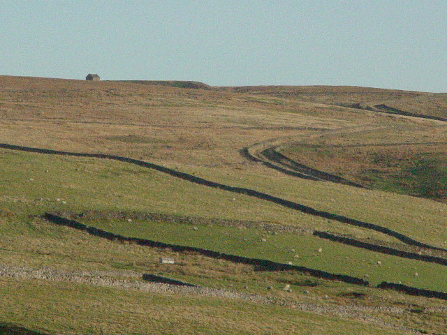
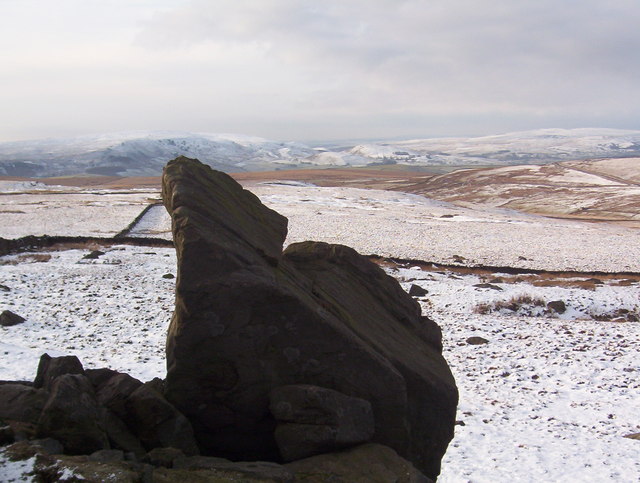
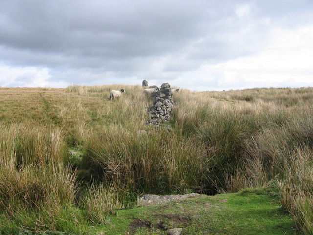
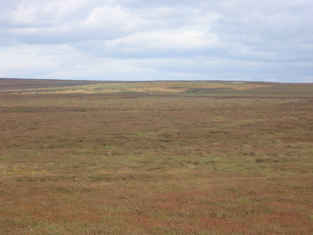
Nature enthusiasts will find plenty to explore in Dry Gill and its surroundings. The village is a popular base for hikers and walkers, as it offers easy access to a network of scenic footpaths and trails. The area is also rich in wildlife, with various species of birds, mammals, and flora inhabiting the region.
Overall, Dry Gill is a tranquil and idyllic village that provides a peaceful retreat for those seeking to immerse themselves in the beauty of the Yorkshire Dales.
If you have any feedback on the listing, please let us know in the comments section below.
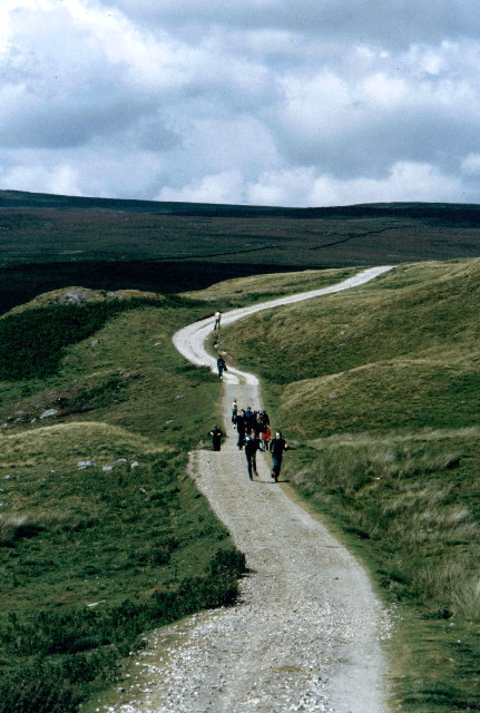
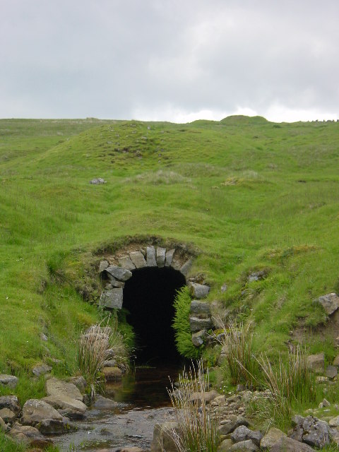
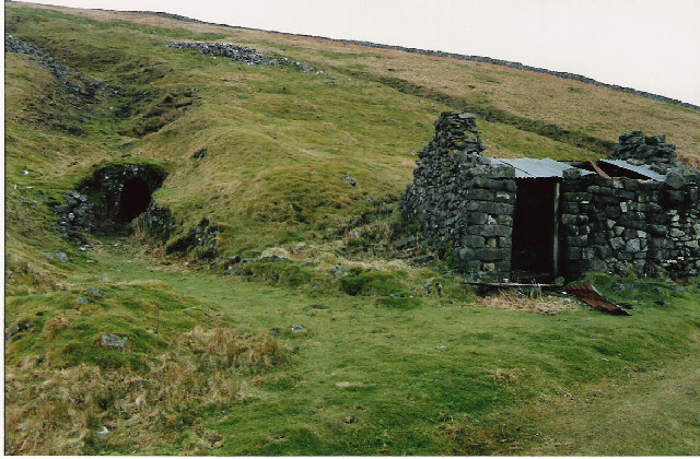
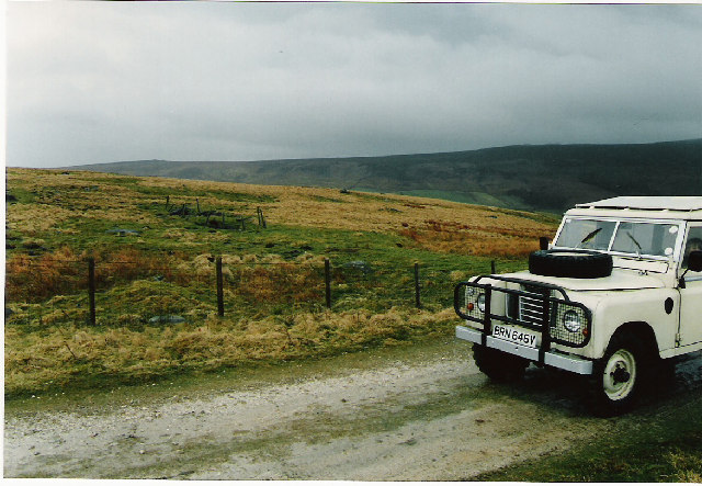
Dry Gill Images
Images are sourced within 2km of 54.066173/-1.8781874 or Grid Reference SE0863. Thanks to Geograph Open Source API. All images are credited.
Dry Gill is located at Grid Ref: SE0863 (Lat: 54.066173, Lng: -1.8781874)
Division: West Riding
Administrative County: North Yorkshire
District: Craven
Police Authority: North Yorkshire
What 3 Words
///tops.rungs.flotation. Near Grassington, North Yorkshire
Nearby Locations
Related Wikis

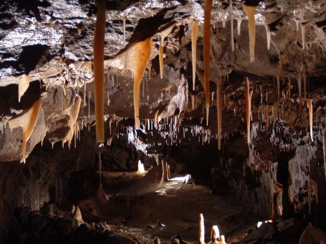
Stump Cross Caverns
Stump Cross Caverns is a limestone cave system between Wharfedale and Nidderdale in North Yorkshire, England. == Geography == The caverns at Stump Cross...

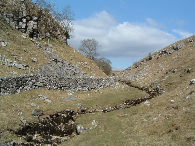
Trollers Gill
Trollers Gill is a limestone gill or gorge in North Yorkshire, England, close to the village of Skyreholme and 4.7 miles (7.5 km) south-east of Grassington...

Parcevall Hall
Parcevall Hall -- also known as Parceval Hall -- and its gardens are located at Skyreholme near Appletreewick village, Wharfedale, North Yorkshire, England...
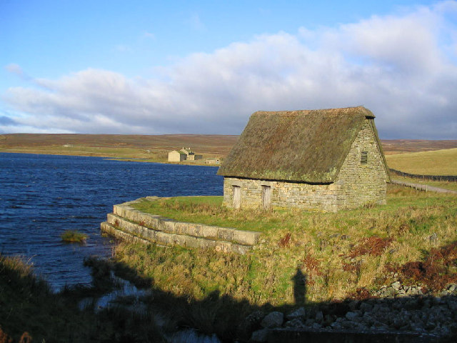
Grimwith Reservoir
Grimwith Reservoir is located in the Yorkshire Dales in North Yorkshire, England. It was originally built by the Bradford Corporation as one of eleven...
Nearby Amenities
Located within 500m of 54.066173,-1.8781874Have you been to Dry Gill?
Leave your review of Dry Gill below (or comments, questions and feedback).