Dry Hill
Settlement in Somerset
England
Dry Hill

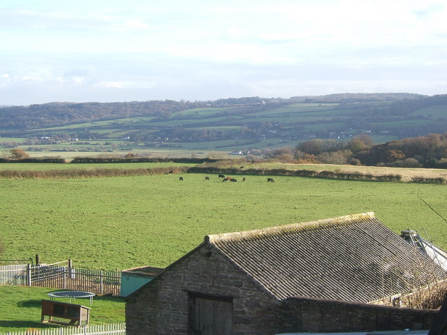
Dry Hill is a small village located in the county of Somerset, England. Situated approximately 5 miles northwest of the town of Shepton Mallet, it is nestled in the picturesque Mendip Hills, offering breathtaking views of the surrounding countryside. The village is part of the civil parish of Doulting and falls under the Mendip District Council.
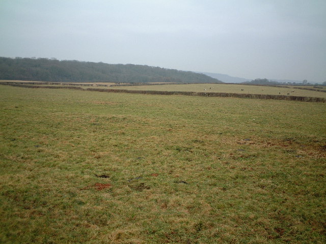
Dry Hill is known for its tranquil and rural atmosphere, attracting nature enthusiasts, hikers, and those seeking a peaceful retreat. The area is abundant in wildlife, with numerous walking trails and nature reserves nearby, such as the popular Ebbor Gorge Nature Reserve and the Mendip Hills Area of Outstanding Natural Beauty.
The village itself is relatively small, with a population of around 300 residents. It boasts a tight-knit community, with a local pub, The Dry Hill Arms, serving as a social hub for villagers and visitors alike. The pub offers a warm and friendly atmosphere, serving traditional pub food and a selection of local ales.
Despite its small size, Dry Hill has a rich history. The village is home to St. Aldhelm's Church, a Grade II listed building dating back to the 12th century. The church's architecture and stained glass windows are of historical interest and attract visitors interested in medieval architecture.
Overall, Dry Hill, Somerset, offers a serene countryside experience, making it an ideal destination for those seeking a peaceful getaway or a taste of rural English life.
If you have any feedback on the listing, please let us know in the comments section below.
Dry Hill Images
Images are sourced within 2km of 51.486074/-2.7750597 or Grid Reference ST4676. Thanks to Geograph Open Source API. All images are credited.


Dry Hill is located at Grid Ref: ST4676 (Lat: 51.486074, Lng: -2.7750597)
Unitary Authority: North Somerset
Police Authority: Avon and Somerset
What 3 Words
///bulldozer.flood.cautious. Near Portishead, Somerset
Nearby Locations
Related Wikis

Portishead Radio
Portishead Radio (callsign GKA) was a radio station in England that provided worldwide maritime communications and long-range aeronautical communications...
Portishead railway station (WCPR)
Portishead railway station served the town of Portishead, Somerset, England from 1907 to 1940 on the Weston, Clevedon and Portishead Railway. == History... ==

Portishead, Somerset
Portishead ( PORT-iss-hed) is a town and civil parish in the North Somerset unitary authority area, in the county of Somerset, England. The town has a...
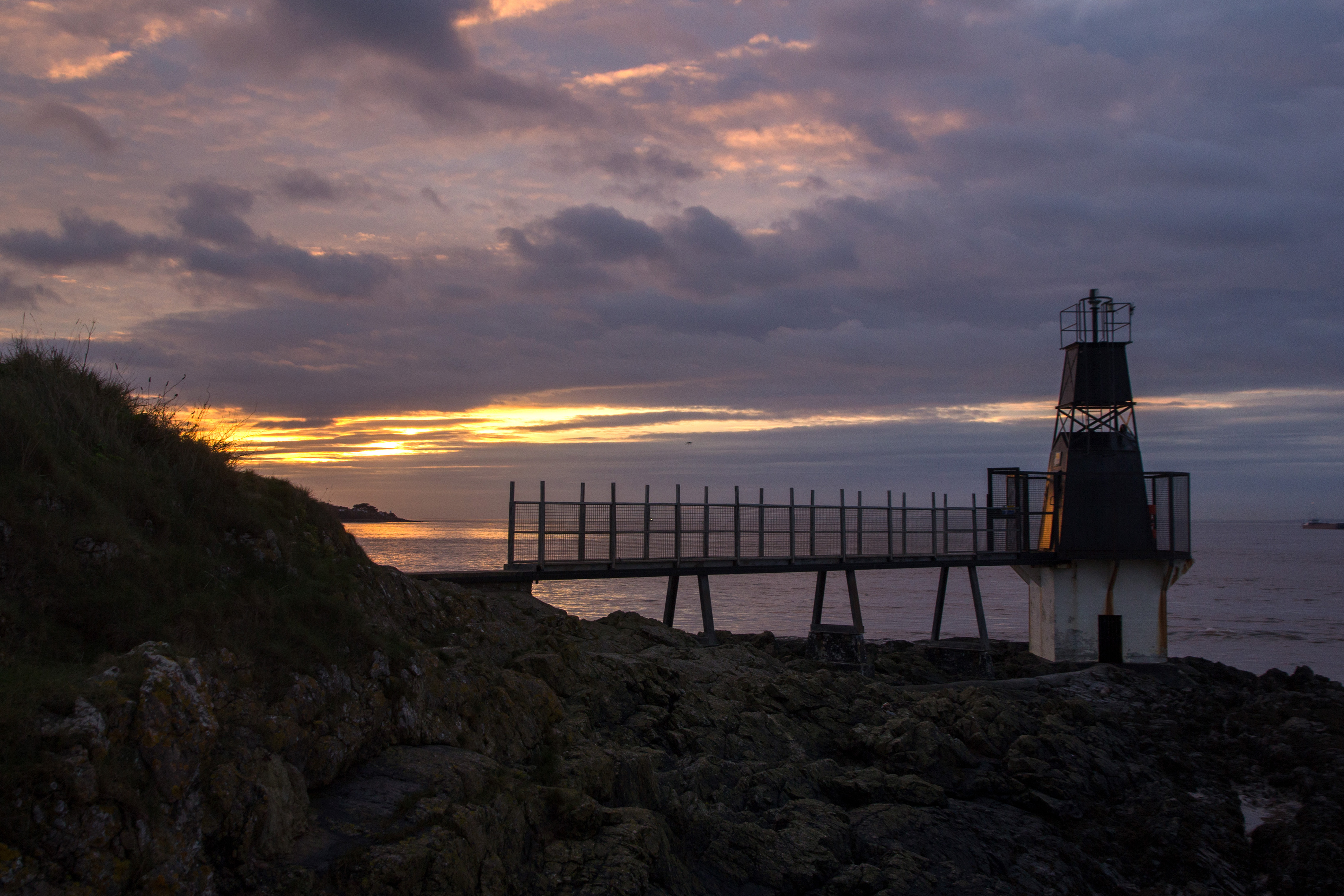
Portishead Point Lighthouse
Portishead Point Lighthouse, which is more commonly known as Battery Point Lighthouse, in Portishead, Somerset, England was built in 1931. == History... ==
Nearby Amenities
Located within 500m of 51.486074,-2.7750597Have you been to Dry Hill?
Leave your review of Dry Hill below (or comments, questions and feedback).