Drumoig
Settlement in Fife
Scotland
Drumoig
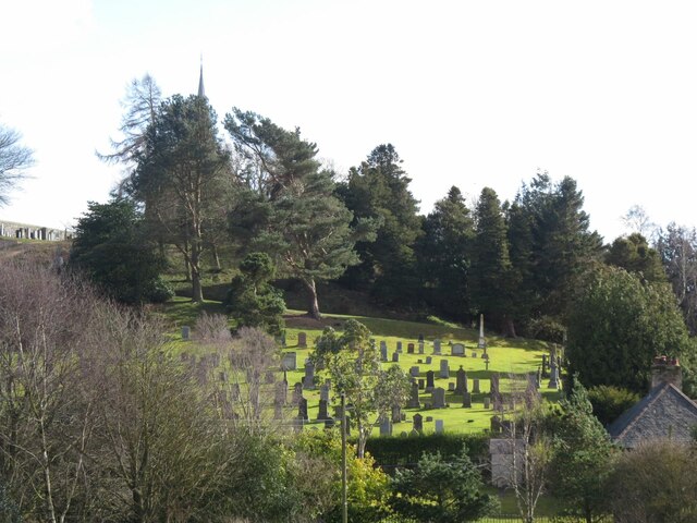
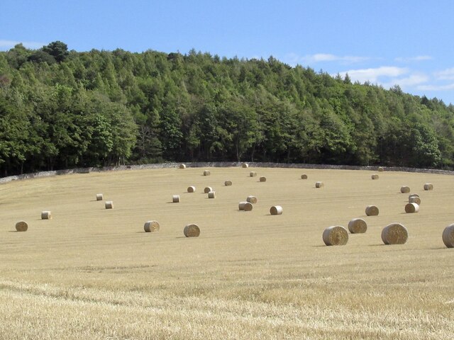
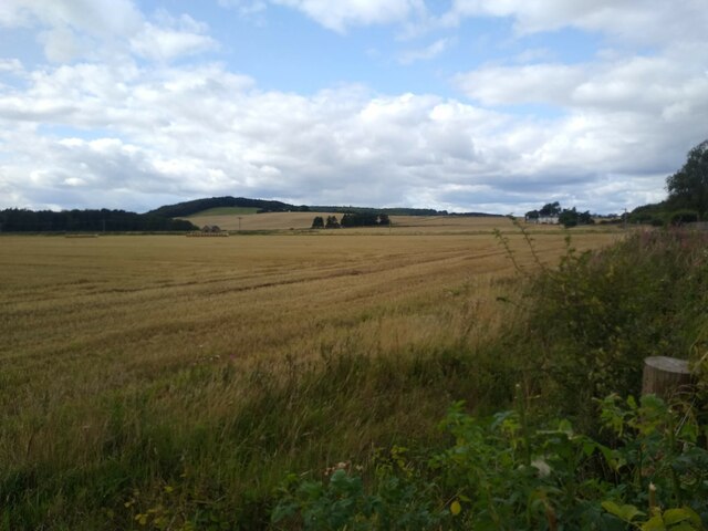
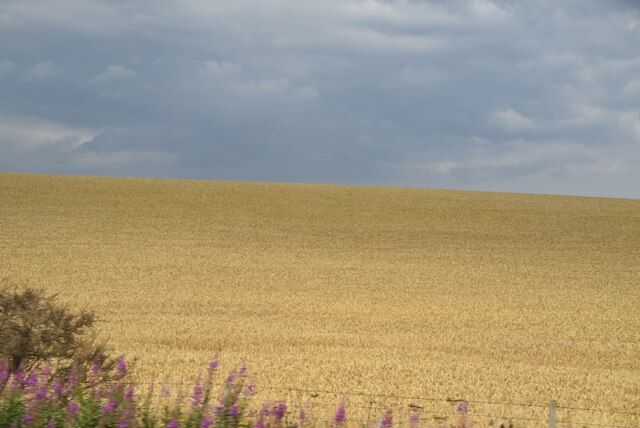
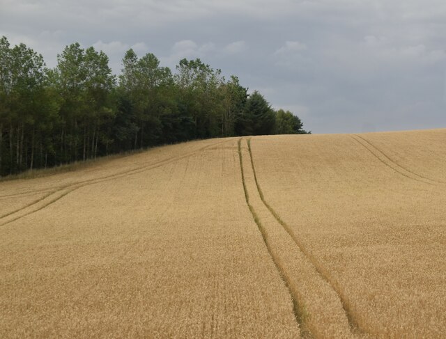
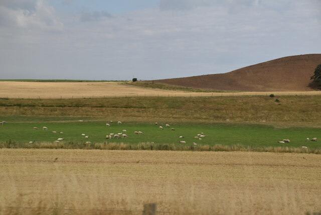
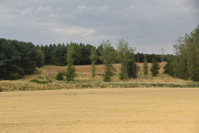
Drumoig is a small village located in the region of Fife, Scotland. Situated approximately five miles northeast of the town of Leuchars, Drumoig is known for its picturesque setting amidst the rolling hills and stunning landscapes of rural Fife.
The village is primarily residential, with a population of around 500 people. It offers a peaceful and tranquil environment, attracting those looking to escape the hustle and bustle of city life. The community in Drumoig is tight-knit and friendly, creating a welcoming atmosphere for both residents and visitors.
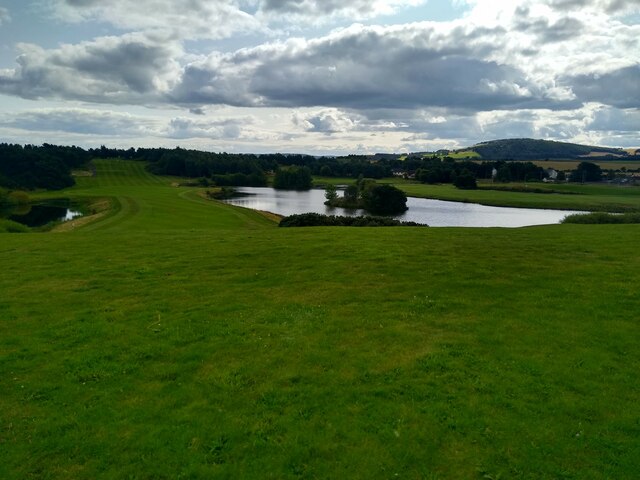
One of the notable features of Drumoig is the renowned Drumoig Golf Course. This 18-hole championship course is highly regarded among golf enthusiasts, offering stunning views of the surrounding countryside while providing a challenging game for players of all skill levels. The golf course also features a driving range, practice facilities, and a clubhouse with amenities for both members and visitors.
In addition to its natural beauty and golfing opportunities, Drumoig boasts convenient access to nearby amenities and attractions. The village is located just a short drive away from the historic town of St. Andrews, famous for its prestigious university, ancient ruins, and world-class golf courses. The coastal town of Dundee is also easily accessible, offering a range of cultural attractions, shopping centers, and entertainment options.
Overall, Drumoig offers a serene and idyllic setting, making it a desirable location for those seeking a peaceful village lifestyle, surrounded by stunning scenery and ample recreational opportunities.
If you have any feedback on the listing, please let us know in the comments section below.
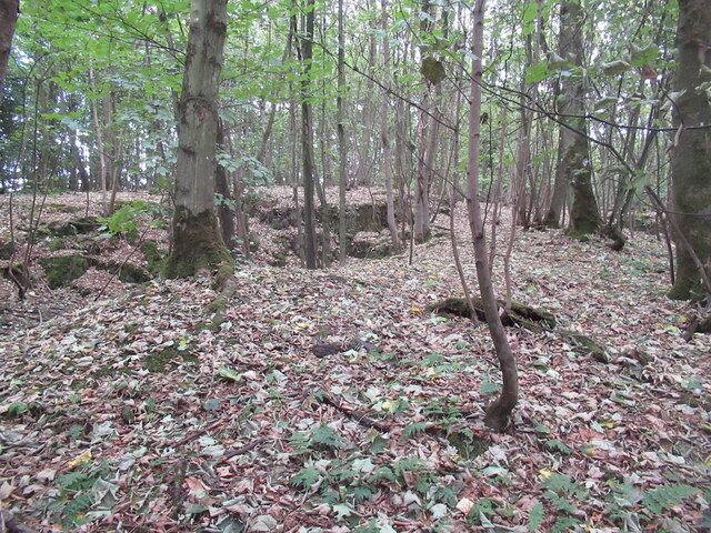
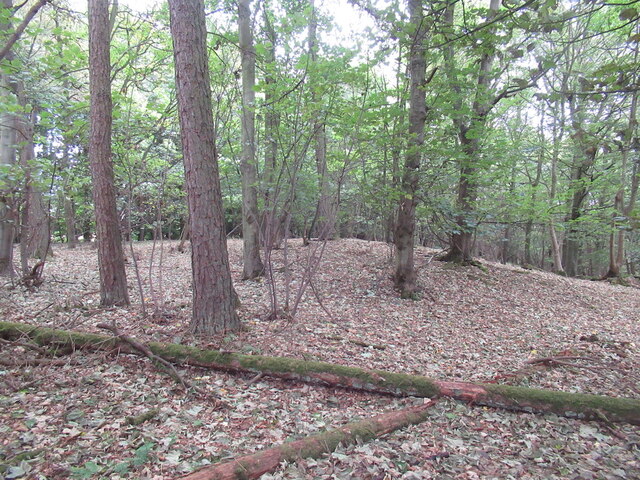
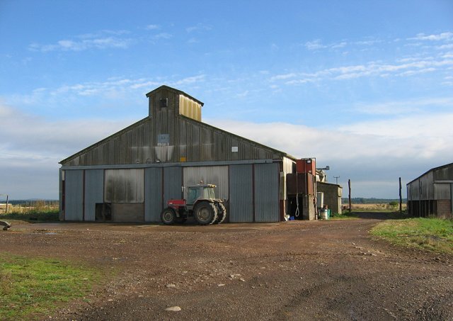
Drumoig Images
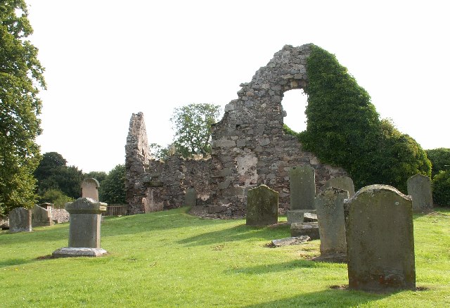
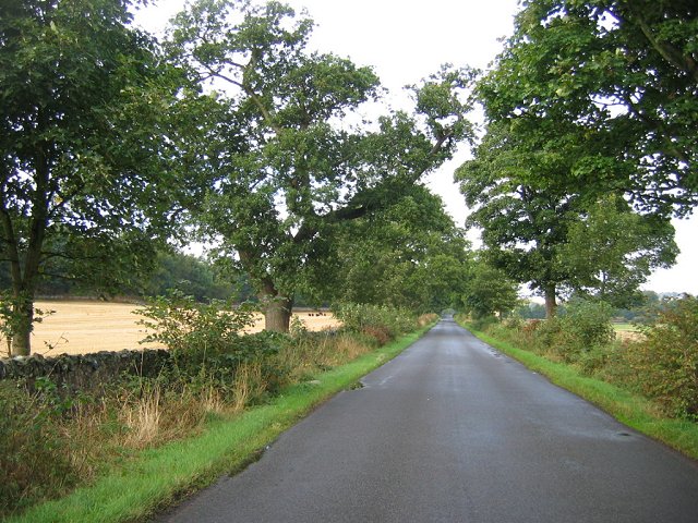
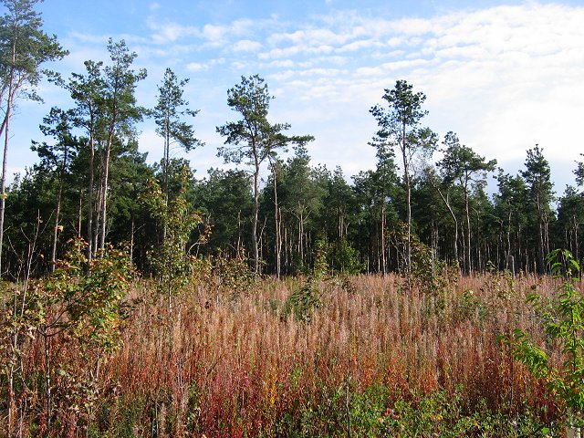
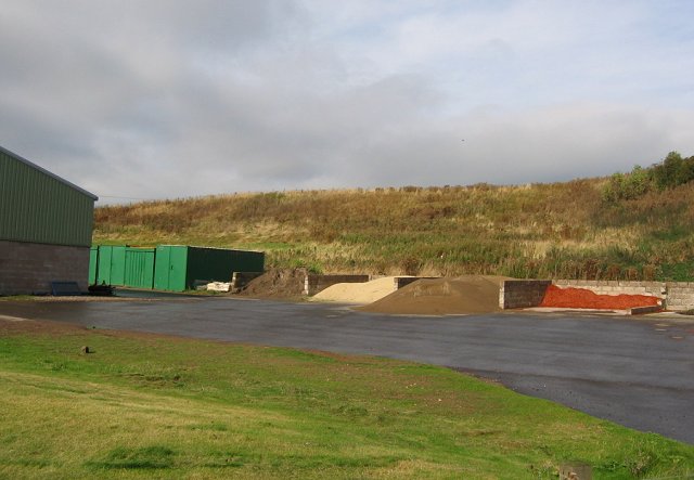
Images are sourced within 2km of 56.414447/-2.9093686 or Grid Reference NO4325. Thanks to Geograph Open Source API. All images are credited.

Drumoig is located at Grid Ref: NO4325 (Lat: 56.414447, Lng: -2.9093686)
Unitary Authority: Fife
Police Authority: Fife
What 3 Words
///cured.zeal.stop. Near Newport-on-Tay, Fife
Nearby Locations
Related Wikis
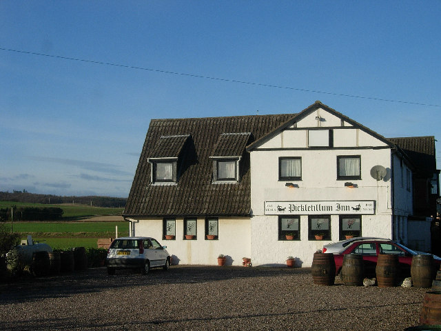
Pickletillum
Pickletillem or Pickletillum is a hamlet situated in Fife, Scotland. It is 9 miles (14 km) from the town of St. Andrews and 5.9 miles (9.5 km) from the...

Lady Leng Memorial Chapel
Lady Leng Memorial Chapel (also known as Vicarsford Cemetery Chapel) is a church building in Leuchars, Fife, Scotland. Built between 1895 and 1897, to...

Forgan (Fife)
Forgan is a civil parish in the Scottish county of Fife. It extends 4 miles in length along the north coast of Fife and is at the southern mouth of the...

Morton Lochs
Morton Lochs is part of Tentsmuir National Nature Reserve located near Tayport, in the north east of Fife, Scotland. It consists of three small lochs important...
Nearby Amenities
Located within 500m of 56.414447,-2.9093686Have you been to Drumoig?
Leave your review of Drumoig below (or comments, questions and feedback).