Doune

Settlement in Ross-shire

Scotland

Doune

Lake Loch Mhic Mharsaill, Inveroykel Wood, Ross-shire A lake surrounded by boggy land and forestry in the Scottish Highlands.
Lake Loch Mhic Mharsaill, Inveroykel Wood, Ross-shire Credit: Andrew Tryon

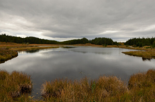
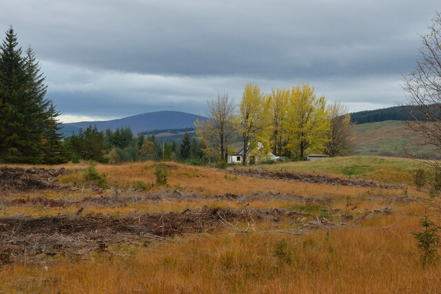
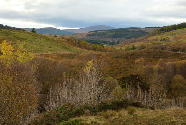
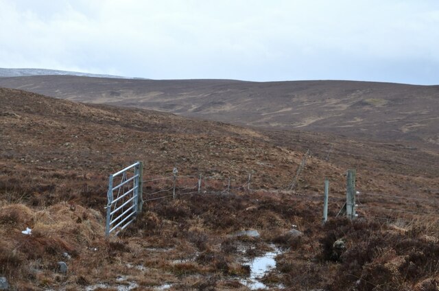
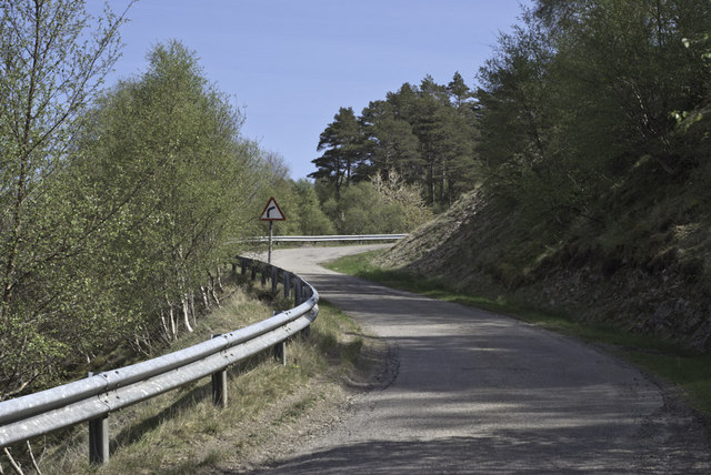
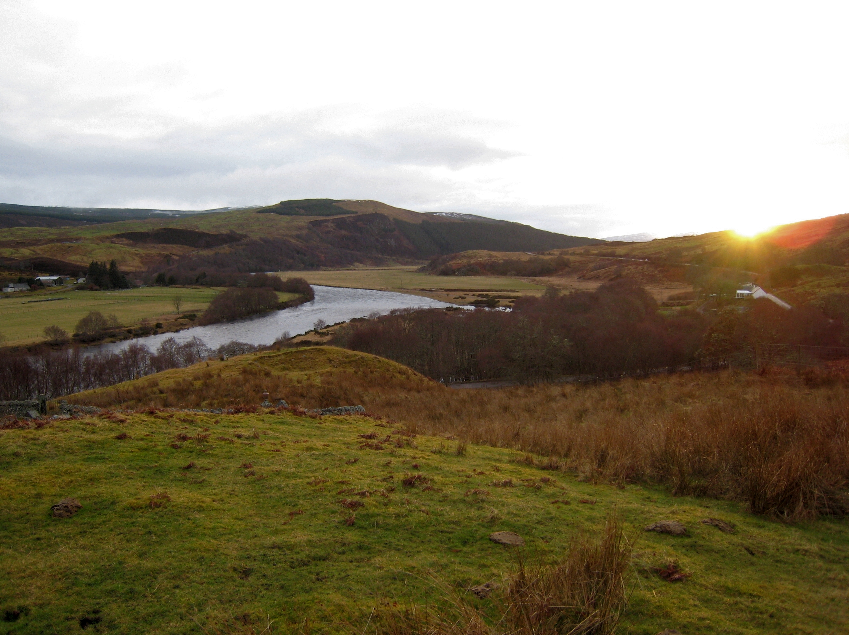
Doune, located in the county of Ross-shire, Scotland, is a small village with a population of around 500 residents. Situated in the Scottish Highlands, Doune is nestled in a picturesque landscape, surrounded by rolling hills and stunning natural beauty. It is located approximately 9 miles northwest of the town of Dingwall.

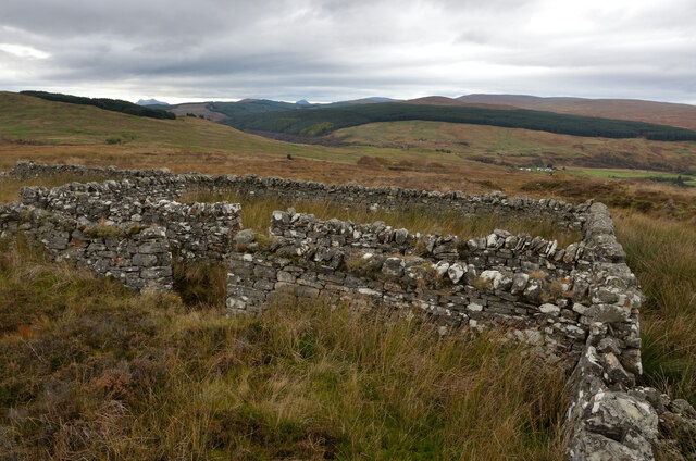
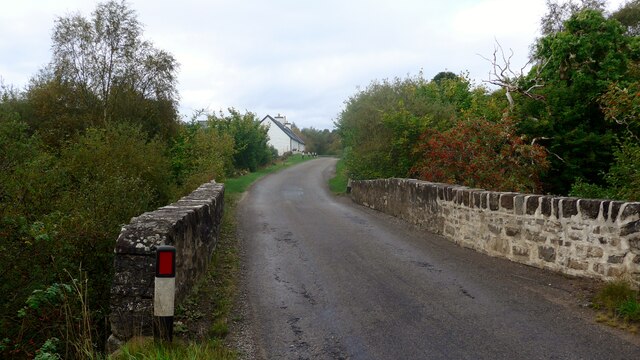
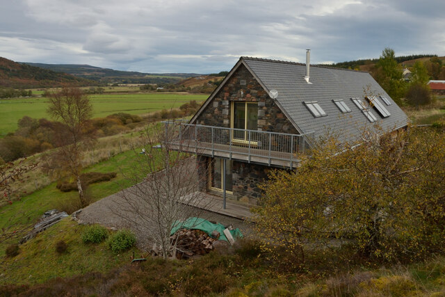
The village of Doune is known for its charming and peaceful atmosphere. It has a strong sense of community, with a close-knit group of residents who take pride in their village. The architecture in Doune is predominantly traditional, with many stone-built houses that add to the village's rustic charm.

One of the prominent landmarks in Doune is the Doune Castle, a medieval stronghold that dates back to the 14th century. It is a popular tourist attraction and has gained fame as a filming location for various movies and TV shows, including Monty Python and the Holy Grail and Outlander.

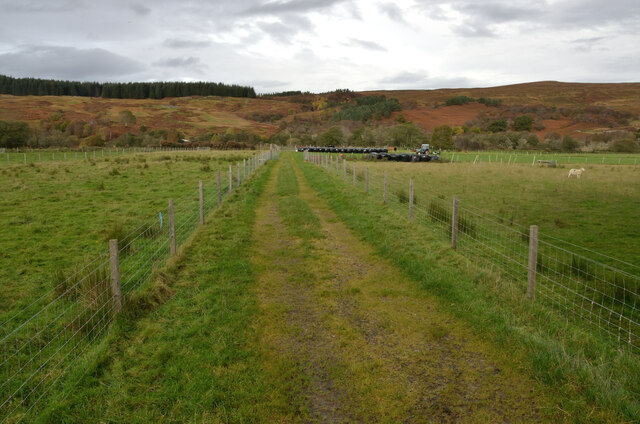
Doune offers a range of amenities and services to its residents and visitors. It has a primary school, a post office, a village hall, and a few local shops, including a grocery store and a pub. The village also has various outdoor recreational opportunities, with walking trails and nature reserves nearby.

Overall, Doune is a tranquil and scenic village that offers a peaceful respite from the hustle and bustle of larger towns and cities. Its natural beauty, rich history, and close community make it an attractive place to live or visit in Ross-shire.

If you have any feedback on the listing, please let us know in the comments section below.
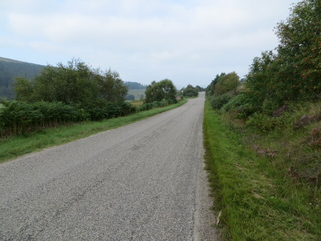
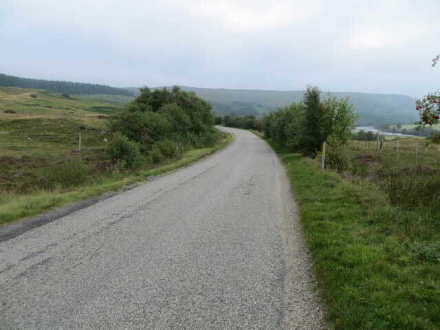
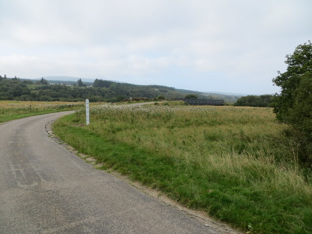
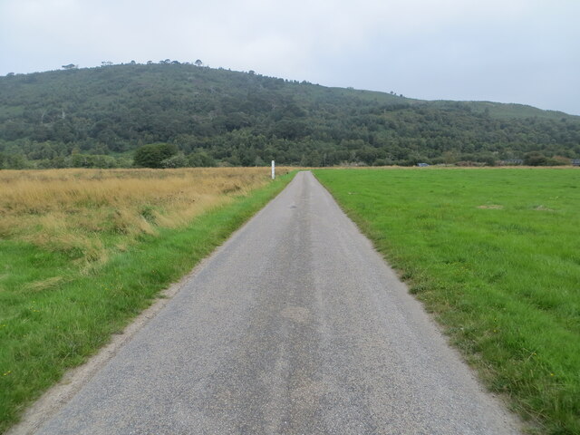
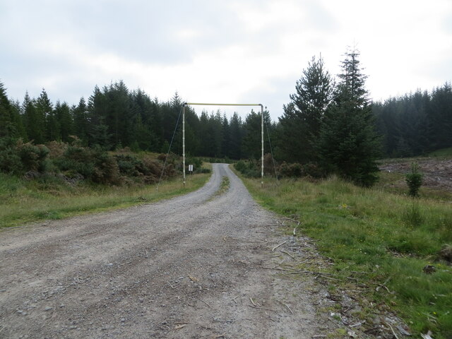
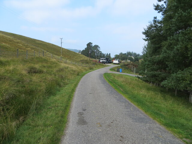
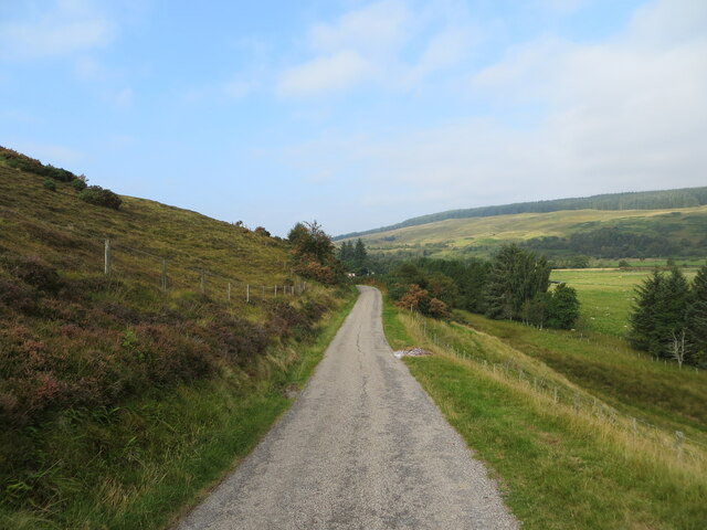
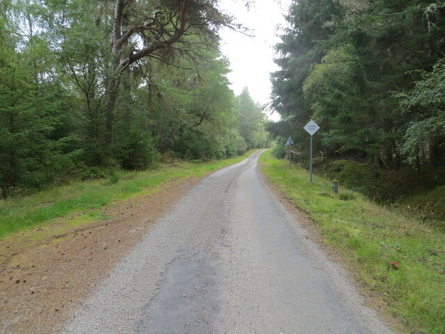
Doune Images

Images are sourced within 2km of 57.968658/-4.6308042 or Grid Reference NC4400. Thanks to Geograph Open Source API. All images are credited.

Lake Loch Mhic Mharsaill, Inveroykel Wood, Ross-shire A lake surrounded by boggy land and forestry in the Scottish Highlands.
Lake Loch Mhic Mharsaill, Inveroykel Wood, Ross-shire
A lake surrounded by boggy land and forestry in the Scottish Highlands.
Sheepfold above Doune, Strath Oykel, Ross-shire A number of small enclosures made of dry stone walls on the valley side of Strath Oykel.
Sheepfold above Doune, Strath Oykel, Ross-shire
A number of small enclosures made of dry stone walls on the valley side of Strath Oykel.
The A837 at Tuiteam Tarbhach The bridge carries the road over the Tutim Burn.
The A837 at Tuiteam Tarbhach
The bridge carries the road over the Tutim Burn.
Rowan berries at the Tutim Burn Some fine waterfalls here as well.
Rowan berries at the Tutim Burn
Some fine waterfalls here as well.
A Modern House at Doune, Strath Oykel, Ross-shire Built in 2012.
A Modern House at Doune, Strath Oykel, Ross-shire
Built in 2012.
Track at Brae, Strath Oykel, Ross-shire
Grassland by the Forest at Innis nan Damh, Strath Oykel, Ross-shire
Strath Oykel, Scottish Highlands View up Strath Oykel from the hill just above Doune.
Strath Oykel, Scottish Highlands
View up Strath Oykel from the hill just above Doune.
Road (A837) in Strath Oykel Looking westward.
Road (A837) in Strath Oykel
Looking westward.
Road (A837) in Strath Oykel with a distant view of the River Oykel Looking north-eastward.
Road (A837) in Strath Oykel with a distant view of the River Oykel
Looking north-eastward.
Minor road crossing the River Oykel flood plain Looking south-westward. Pleased to report that no wet feet were acquired in the taking of this picture.
Minor road crossing the River Oykel flood plain
Looking south-westward. Pleased to report that no wet feet were acquired in the taking of this picture.
Minor road crossing the flood plain of the River Oykel Looking northward.
Minor road crossing the flood plain of the River Oykel
Looking northward.
Forest track passing under height restrictor at Innis nan Damh Looking south-eastward.
Forest track passing under height restrictor at Innis nan Damh
Looking south-eastward.
Minor road approaching Doune Looking wesstward.
Minor road approaching Doune
Looking wesstward.
Minor road between Doune and Brae Looking north-westward.
Minor road between Doune and Brae
Looking north-westward.
Woodland enclosed minor road near to Inveroykel Looking eastward.
Woodland enclosed minor road near to Inveroykel
Looking eastward.
A Gate on the Moors above Rosehall, Sutherland Featureless moors to the west of the small Hamlet of Rosehall, in Sutherland, Scottish Highlands.  Ordnance Survey revealed this area was their least selling map of Great Britain.
A Gate on the Moors above Rosehall, Sutherland
Featureless moors to the west of the small Hamlet of Rosehall, in Sutherland, Scottish Highlands. Ordnance Survey revealed this area was their least selling map of Great Britain.
Approaching the hair pin bend
Show me another place!

Doune is located at Grid Ref: NC4400 (Lat: 57.968658, Lng: -4.6308042)

Unitary Authority: Highland

Police Authority: Highlands and Islands

What 3 Words

///length.richly.permanent. Near Lairg, Highland

Nearby Locations

Strath Oykel Doune

Related Wikis

Doune, Highland

Doune is a remote hamlet on the south bank of the River Oykel, situated 2 miles west of Rosehall and 5 miles east of Lubcroy, in Sutherland, Scottish Highlands...

Battle of Tuiteam Tarbhach

The Battle of Tuiteam Tarbhach (Scottish Gaelic: "plentiful slaughter"; also known as Tuttim–Tarwach, Tuttim–Turwigh, Tuttim–Tarwigh or Tutim Tarvach)...

River Cassley

The River Cassley (Scottish Gaelic: Abhainn Charsla, pronounced [ˈa.ɪɲ ˈxaɾs̪l̪ˠə]) in Sutherland, in northern Scotland, joins the River Oykel to form...

Rosehall

Rosehall is a remote hamlet in the Parish of Creich near the confluence of the River Cassley and the River Oykel, 1 mile northwest of Altass, in Sutherland...
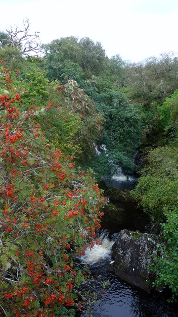
Achness Falls

Achness Falls, also known as the Achness Waterfall or Cassley Falls, is a waterfall located on the River Cassley in Sutherland, Scotland, near Rosehall...

Battle of Aldy Charrish

The Battle of Aldy Charrish (also known as the Battle of Auldicharish, Aldicharrish, Aldecharwis, Alt a'Charrais, Alt Charrais, Alt na Charrais) was a...

Altass

Altass (Scottish Gaelic: Alltais) is a village in the Parish of Creich, near Lairg, Sutherland, within the Highland, Scotland and is in the council area...

River Oykel

The River Oykel (Scottish Gaelic: Òiceall or Abhainn Òiceall, pronounced [ˈa.ɪɲ ˈɔːçkʲəl̪ˠ]) is a major river in northern Scotland that is famous for its...

Nearby Amenities

Located within 500m of 57.968658,-4.6308042
Power: pole
Lat/Long: 57.9698838/-4.6378279
Power: pole
Lat/Long: 57.9698301/-4.6367182
Power: pole
Lat/Long: 57.9697651/-4.6356047
Power: pole
Lat/Long: 57.9697/-4.6343413
Power: pole
Lat/Long: 57.9693665/-4.6335022
Power: pole
Lat/Long: 57.9689443/-4.6324646
Power: pole
Lat/Long: 57.9684053/-4.6311622
Power: pole
Lat/Long: 57.9684001/-4.6301772
Power: pole
Lat/Long: 57.9683939/-4.6291454
Power: pole
Lat/Long: 57.9683991/-4.6281662
Power: pole
Lat/Long: 57.9683898/-4.6270274
Power: pole
Lat/Long: 57.9683784/-4.6257328
Power: pole
Lat/Long: 57.9683619/-4.6244266
Power: pole
Lat/Long: 57.9683629/-4.6231709
The data included in this document is from www.openstreetmap.org. The data is made available under ODbL.

Have you been to Doune?

Leave your review of Doune below (or comments, questions and feedback).