Double View
Settlement in Gloucestershire Forest of Dean
England
Double View
Double View is a small village located in the county of Gloucestershire, England. Situated in the picturesque Cotswolds region, it is nestled between rolling hills and lush green fields. The village is known for its tranquil and idyllic setting, offering residents and visitors a peaceful retreat from the hustle and bustle of urban life.
One of the defining features of Double View is its stunning panoramic views. From various vantage points in the village, one can enjoy breathtaking vistas of the surrounding countryside, with its patchwork of fields, meandering streams, and charming stone cottages. These views are particularly enchanting at sunrise and sunset, when the golden hues cast a magical glow over the landscape.
The community in Double View is close-knit and friendly, with a population of approximately 500 residents. The village boasts a range of amenities, including a local pub, a village hall, a primary school, and a post office. The pub serves as a hub for social gatherings and provides a warm and welcoming atmosphere for both locals and visitors.
Outdoor enthusiasts will find plenty to explore in the area surrounding Double View. There are numerous walking and hiking trails that wind through the countryside, offering opportunities to discover hidden gems such as ancient woodlands, charming villages, and historic landmarks.
Overall, Double View is a charming and picturesque village that offers a peaceful and scenic escape in the heart of Gloucestershire. Its breathtaking views, tight-knit community, and proximity to natural beauty make it an appealing destination for those seeking a slower pace of life.
If you have any feedback on the listing, please let us know in the comments section below.
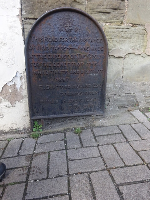
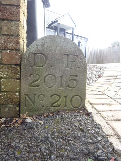
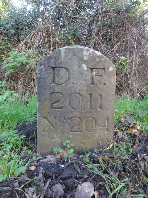
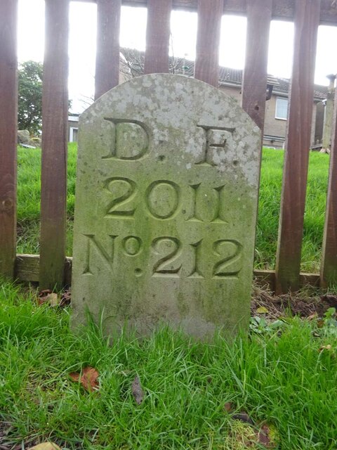
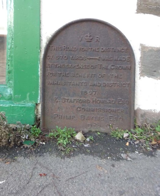
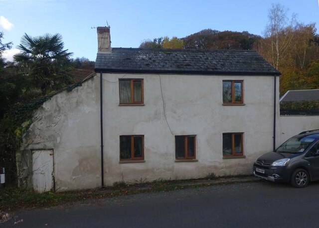
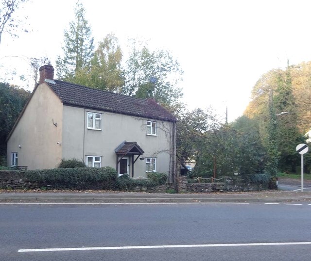
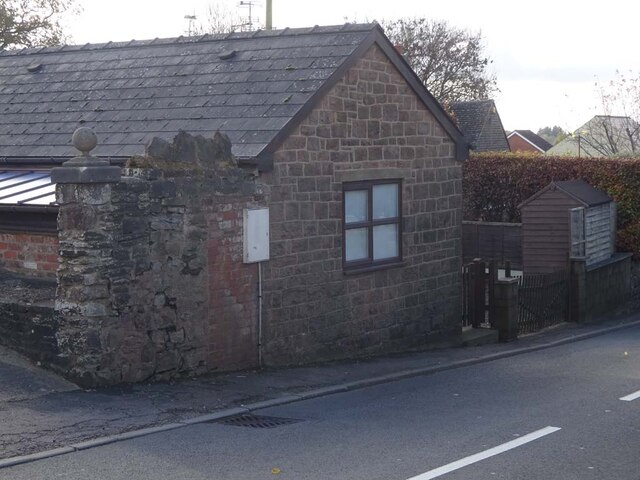
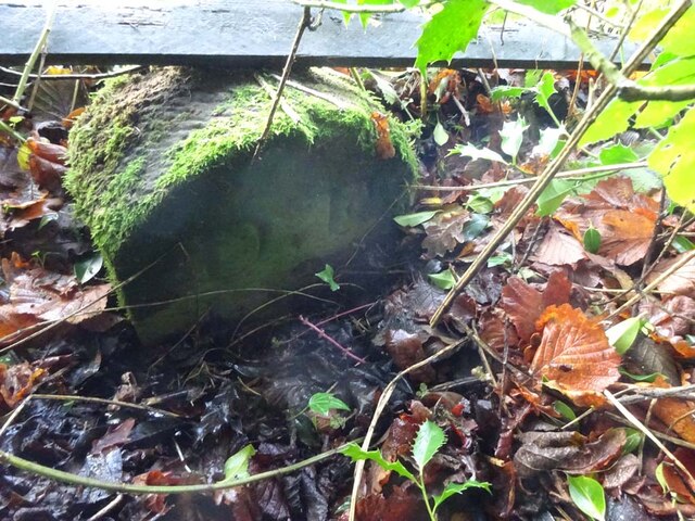
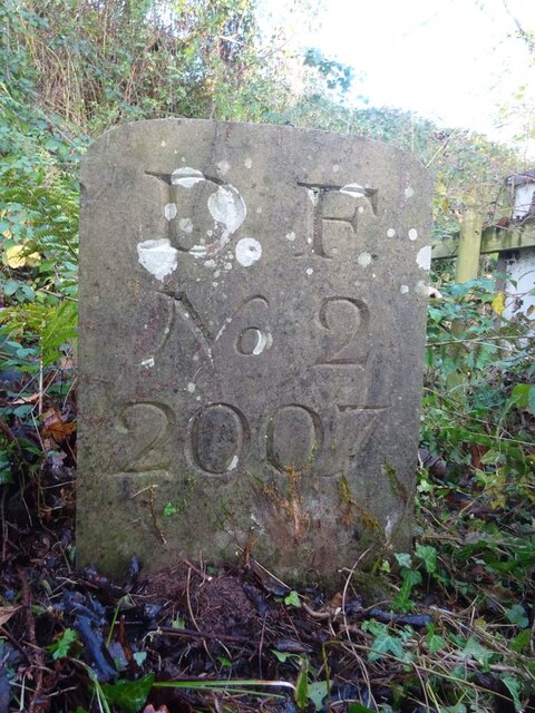
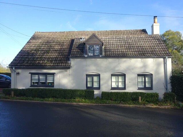
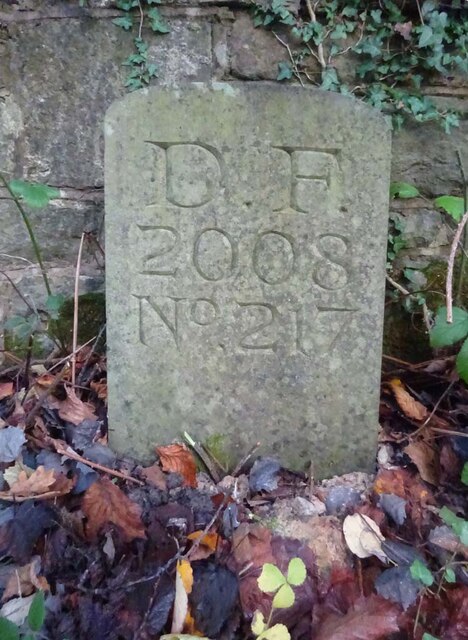
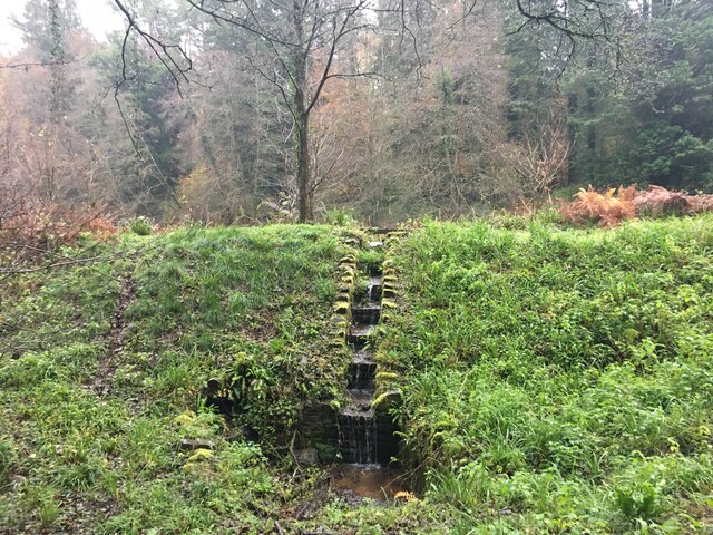
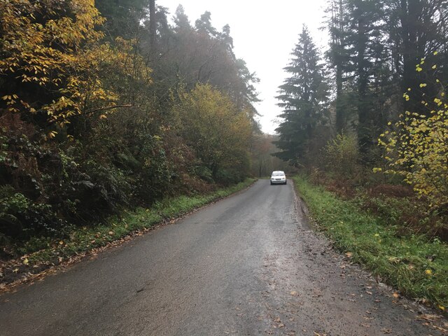
Double View Images
Images are sourced within 2km of 51.819489/-2.4923642 or Grid Reference SO6613. Thanks to Geograph Open Source API. All images are credited.
Double View is located at Grid Ref: SO6613 (Lat: 51.819489, Lng: -2.4923642)
Administrative County: Gloucestershire
District: Forest of Dean
Police Authority: Gloucestershire
What 3 Words
///flick.decisive.counters. Near Cinderford, Gloucestershire
Nearby Locations
Related Wikis
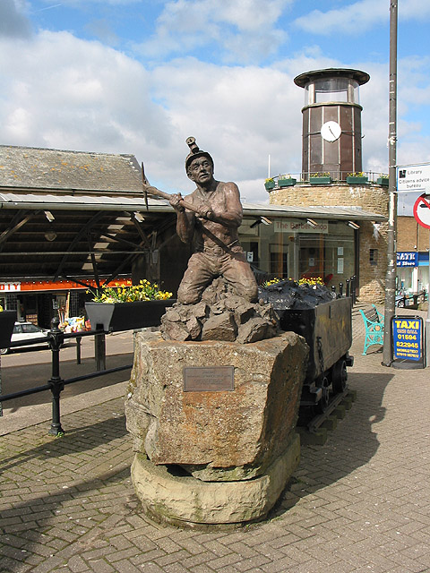
Cinderford
Cinderford is a town and civil parish on the eastern fringe of the Forest of Dean in Gloucestershire, England. The population was 8,777 at the 2021 Census...

Cinderford Town A.F.C.
Cinderford Town Association Football Club is a football club based in Cinderford in Gloucestershire, England. Affiliated to the Gloucestershire County...
The Forest High School, Cinderford
Forest High School is a coeducational secondary school with academy status, located in Cinderford in the English county of Gloucestershire.The school was...

Cinderford New railway station
Cinderford New railway station was a disused railway station that was opened by the former Severn and Wye Railway to serve the mining town of Cinderford...

Littledean
Littledean is a village in the Forest of Dean, west Gloucestershire, England. The village has a long history and formerly had the status of a town. Littledean...
Littledean Hall
Littledean Hall (grid reference SO672130) is a country house in the village of Littledean, Gloucestershire, England. It has been described as one of the...

Cinderford Ironworks
Cinderford Ironworks, also known as Cinderford Furnace, was a coke-fired blast furnace, built in 1795, just west of Cinderford, in the Forest of Dean,...

Ruspidge Halt railway station
Ruspidge Halt railway station is a disused railway station opened by the Great Western Railway (GWR) on the former Bullo Pill Railway, later known as the...
Nearby Amenities
Located within 500m of 51.819489,-2.4923642Have you been to Double View?
Leave your review of Double View below (or comments, questions and feedback).