Beech Hill
Settlement in Berkshire
England
Beech Hill

Beech Hill is a small village located in the county of Berkshire, England. Situated approximately 6 miles south of Reading, it is nestled in the picturesque countryside, surrounded by rolling hills and lush greenery. The village is primarily residential, with a population of around 500 people.
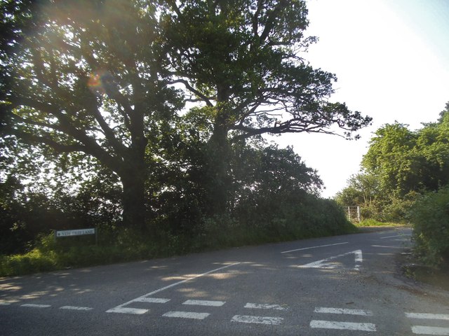
Beech Hill is known for its charming and peaceful atmosphere, making it an attractive place for those seeking a quieter and more rural lifestyle. The village is characterized by its quaint cottages, many of which boast traditional thatched roofs, adding to its distinct charm.
Despite its small size, Beech Hill offers a range of amenities and services for its residents. These include a local pub, where locals and visitors can enjoy a pint of beer or a hearty meal, as well as a village hall that hosts community events and gatherings.
The village also benefits from its close proximity to the larger town of Reading, which provides residents with access to a wider range of facilities, including shops, supermarkets, and leisure activities.
Nature enthusiasts will find plenty to explore in the surrounding area, as Beech Hill is surrounded by beautiful countryside and picturesque walking trails. The nearby Wellington Country Park offers acres of woodland, lakes, and gardens, providing a perfect escape for outdoor activities, picnics, and family outings.
Overall, Beech Hill is a charming and idyllic village, offering a peaceful and rural lifestyle while still being within easy reach of larger towns and amenities.
If you have any feedback on the listing, please let us know in the comments section below.
Beech Hill Images
Images are sourced within 2km of 51.373909/-0.99872072 or Grid Reference SU6964. Thanks to Geograph Open Source API. All images are credited.


Beech Hill is located at Grid Ref: SU6964 (Lat: 51.373909, Lng: -0.99872072)
Unitary Authority: West Berkshire
Police Authority: Thames Valley
What 3 Words
///channel.fewer.outfitter. Near Stratfield Mortimer, Berkshire
Nearby Locations
Related Wikis

Beech Hill, Berkshire
Beech Hill is a small village and civil parish in Berkshire, England. It is in the south east of the West Berkshire unitary authority area and bounds Hampshire...

Stratfield Saye Priory
Stratfield Saye Priory was an alien priory belonging to the Abbey of Vallemont, located at Beech Hill in the Berkshire part of the parish of Stratfield...
Beaumys Castle
Beaumys Castle, also known as Beams Castle, was a 14th-century fortified manor house in the parish of Swallowfield in the English county of Berkshire....

Stanford End Mill and River Loddon
Stanford End Mill and River Loddon is a 11.8-hectare (29-acre) biological Site of Special Scientific Interest south of Reading in Berkshire. It covers...

Bloomfield Hatch
Bloomfield Hatch is a hamlet in Berkshire, England, and part of the civil parish of Wokefield . The settlement lies near the villages of Stratfield Mortimer...

Grazeley
Grazeley is an area covering the small villages of Grazeley in the civil parish of Shinfield and Grazeley Green in the civil parish of Wokefield, 4 miles...
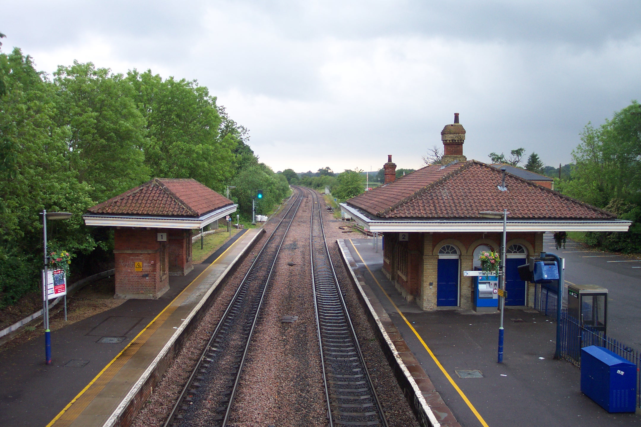
Mortimer railway station
Mortimer railway station is a railway station in the village of Stratfield Mortimer in the county of Berkshire in England. It is 43 miles 14 chains (69...

Stratfield Mortimer
Stratfield Mortimer is a village and civil parish, just south of Reading, in the English county of Berkshire and unitary authority area of West Berkshire...
Nearby Amenities
Located within 500m of 51.373909,-0.99872072Have you been to Beech Hill?
Leave your review of Beech Hill below (or comments, questions and feedback).