Beech Lanes
Settlement in Staffordshire
England
Beech Lanes

Beech Lanes is a small village located in the county of Staffordshire, England. Situated in the picturesque countryside, it is surrounded by rolling hills, lush green fields, and beautiful beech trees, which lend the village its name. With a population of around 500 residents, Beech Lanes has managed to maintain its tranquil and rural character.
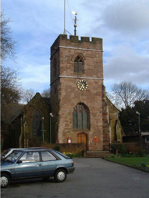
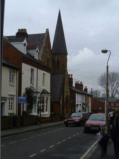
The village is known for its charming architecture, with many of the houses dating back several centuries. The local church, St. Mary's, is a prominent feature in the village and is believed to have been built in the 12th century. Its historic charm attracts visitors who appreciate the village's rich heritage.
Despite its small size, Beech Lanes boasts a close-knit community and a strong sense of belonging. Residents take pride in their village and actively participate in community events and activities. The village hall serves as a hub for social gatherings, hosting events such as fairs, concerts, and local meetings.
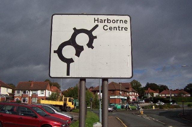
Beech Lanes benefits from its proximity to the nearby town of Stafford, which provides residents with access to a wider range of amenities, including shops, schools, and healthcare facilities. The village is well-connected by road, with the A518 passing through, allowing for easy commuting to surrounding towns and cities.
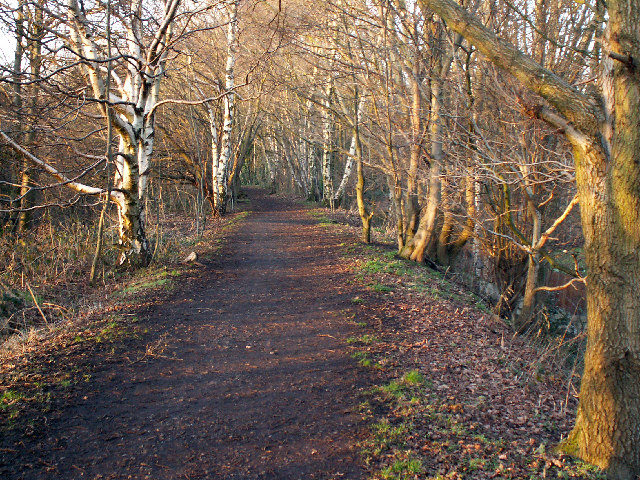
For nature enthusiasts, Beech Lanes offers picturesque walking trails and scenic spots, providing opportunities for outdoor activities and relaxation. The village's peaceful surroundings make it an ideal destination for those seeking a tranquil retreat away from the hustle and bustle of urban life.
If you have any feedback on the listing, please let us know in the comments section below.
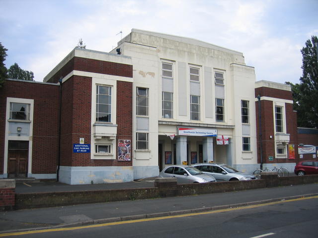
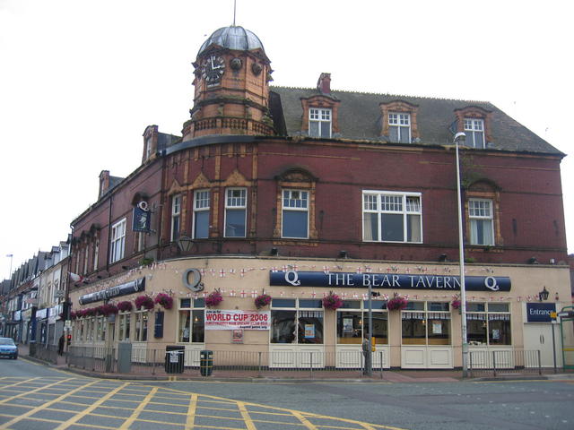
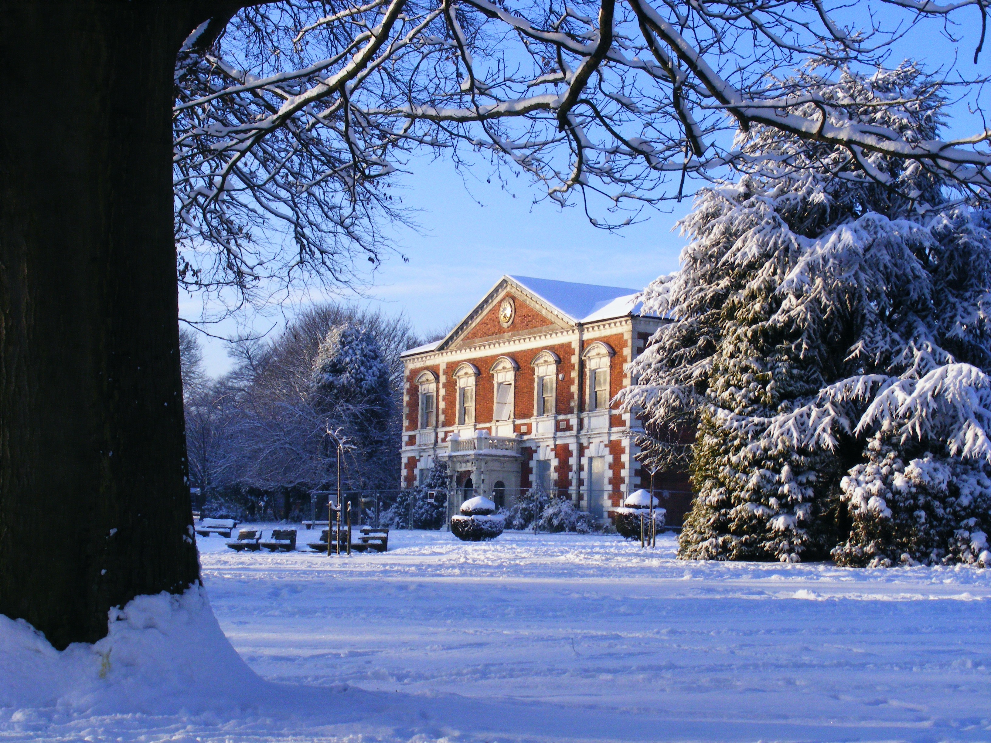
Beech Lanes Images
Images are sourced within 2km of 52.46667/-1.973663 or Grid Reference SP0185. Thanks to Geograph Open Source API. All images are credited.


Beech Lanes is located at Grid Ref: SP0185 (Lat: 52.46667, Lng: -1.973663)
Unitary Authority: Birmingham
Police Authority: West Midlands
What 3 Words
///nests.daily.hiking. Near Smethwick, West Midlands
Nearby Locations
Related Wikis

Beech Lanes
Beech Lanes is a small area of Harborne in Birmingham, England, located on the border with Sandwell.
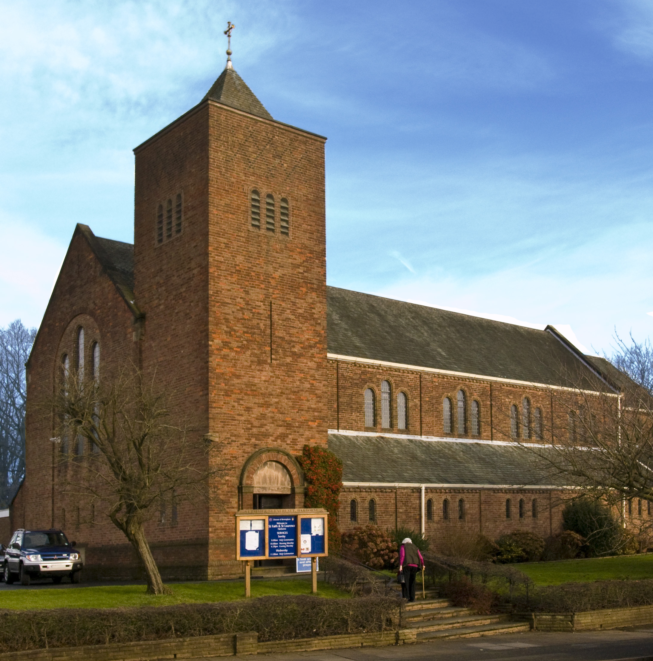
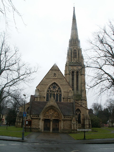
St Faith and St Laurence's Church, Harborne
St. Faith and St. Laurence's Church, Harborne is a parish church in the Church of England in Harborne, Birmingham. It is part of the Anglican Diocese of...
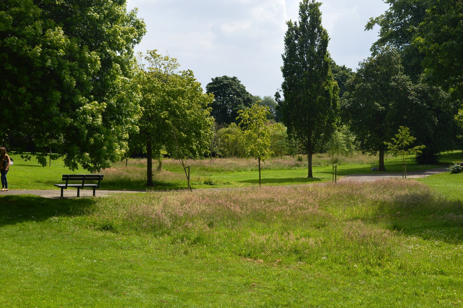
Lightwoods Park and House
Lightwoods Park is a public park in Bearwood in the West Midlands, England. It lies on the north-west side of Hagley Road, which here forms the boundary...
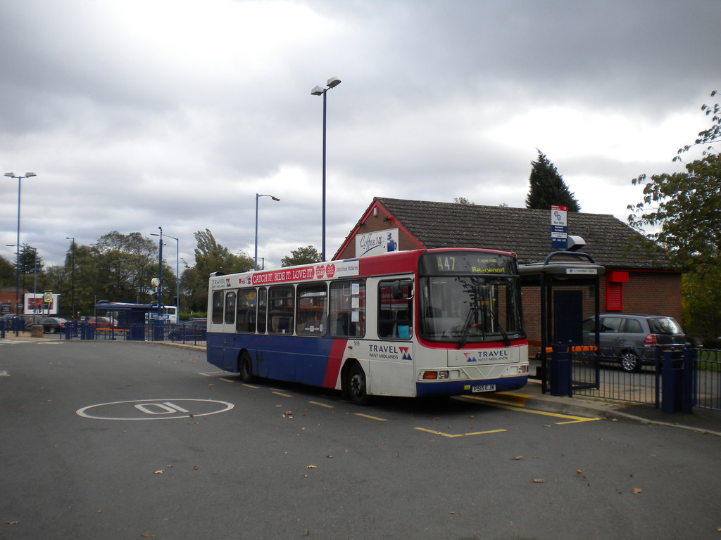
Bearwood bus station
Bearwood bus station is a small bus station in Smethwick, West Midlands, England. It is located on the Hagley Road junction with Bearwood Road. It is Smethwick...

King Edward VI Lordswood School for Girls
King Edward VI Lordswood School for Girls and The Sixth Form Centre is a secondary school and sixth form on Knightlow Road in Birmingham between Harborne...
Lordswood Boys' School
Lordswood Boys' School (formerly Lordswood Technical School) is a secondary school for boys located in the Harborne area of Birmingham, in the West Midlands...
Queens Park, Birmingham
Queens Park was laid out in 1898 in celebration of Queen Victoria's Diamond Jubilee, after which Turks Lane was renamed Queens Park Road. The 10-acre plot...

Queen Alexandra College
Queen Alexandra College (QAC) is an independent specialist college of further education based in Harborne, Birmingham for students above the age of sixteen...
Nearby Amenities
Located within 500m of 52.46667,-1.973663Have you been to Beech Lanes?
Leave your review of Beech Lanes below (or comments, questions and feedback).