Delnies

Settlement in Nairnshire

Scotland

Delnies

As Far as I Could Get With the tide incoming this is as far into this square as I could get.
As Far as I Could Get Credit: David Bremner

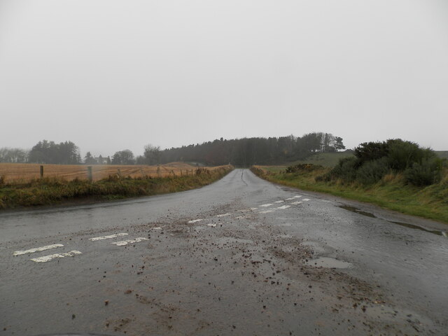
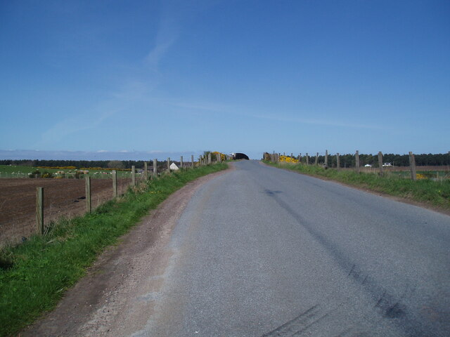
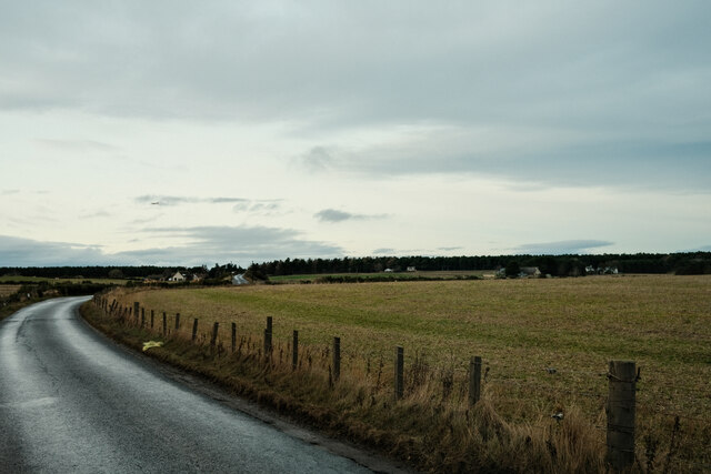
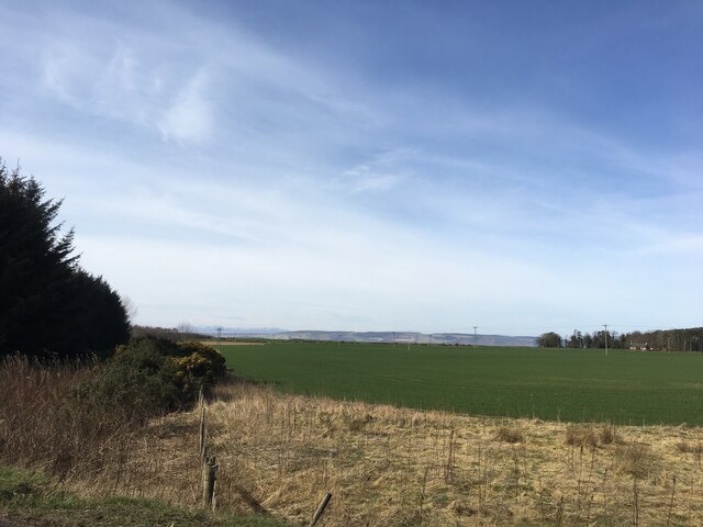
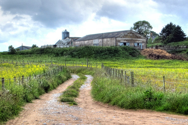
Delnies is a small village located in the county of Nairnshire, in the Highlands region of Scotland. Situated just three miles east of the town of Nairn, Delnies is nestled within a picturesque rural landscape, surrounded by rolling hills and farmland.

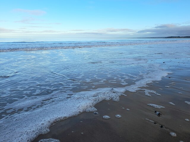
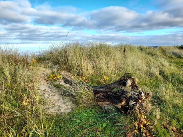
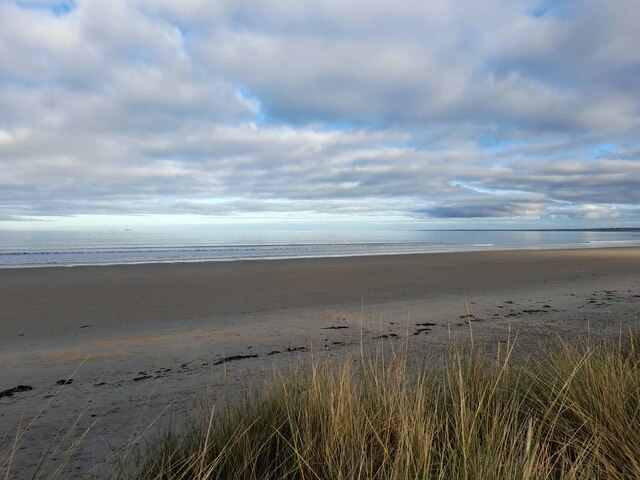
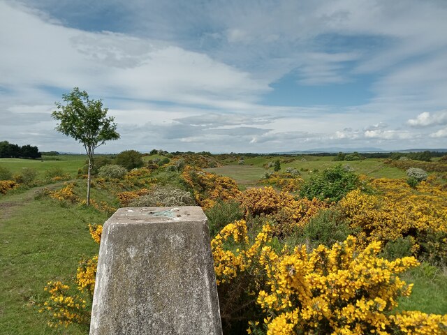
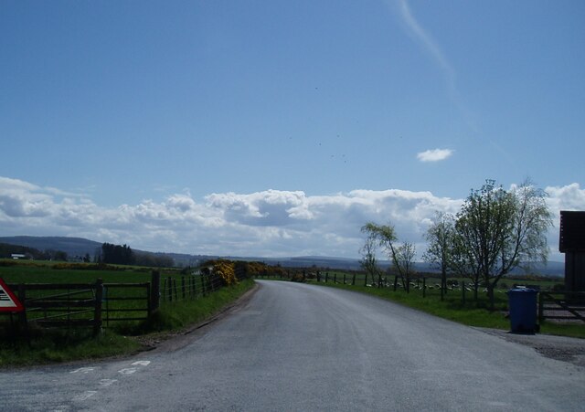
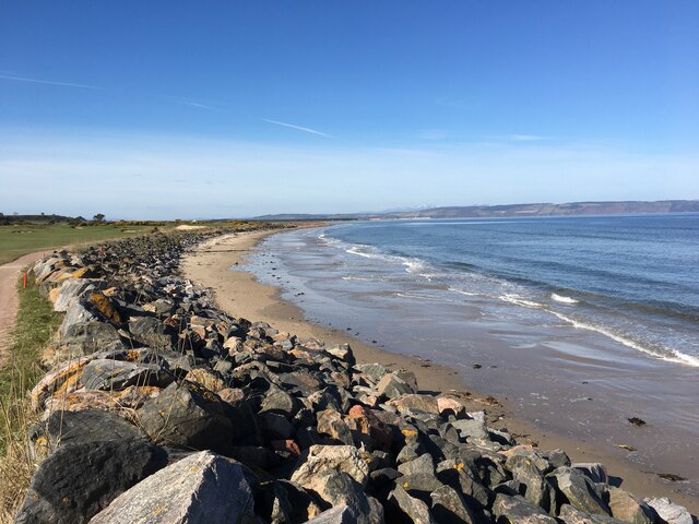
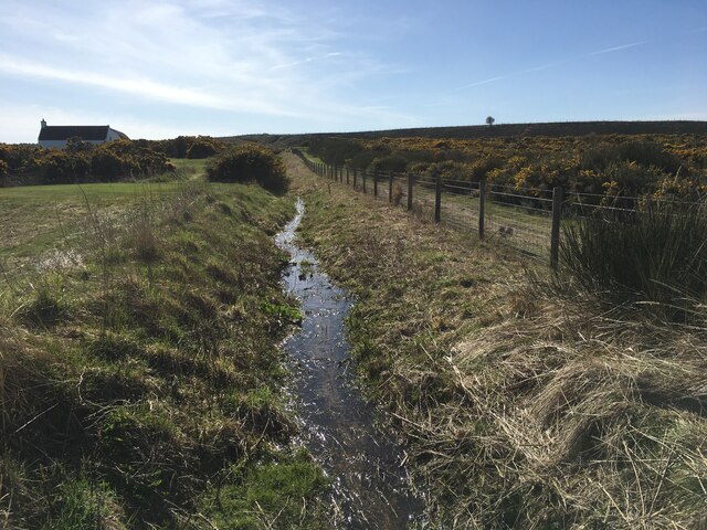
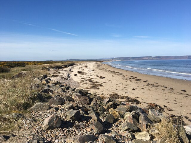
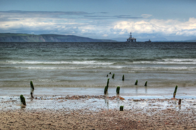
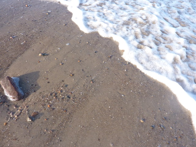
The village is known for its tranquil and idyllic setting, making it a popular destination for those seeking a peaceful retreat. The area is rich in natural beauty, with stunning views of the Moray Firth and the nearby Culbin Forest. The coastline, with its sandy beaches and dunes, offers a scenic spot for leisurely walks and birdwatching.

Despite its small size, Delnies has a close-knit community, with a friendly and welcoming atmosphere. The village boasts a range of amenities, including a local pub, a primary school, and a community center that hosts various events throughout the year.

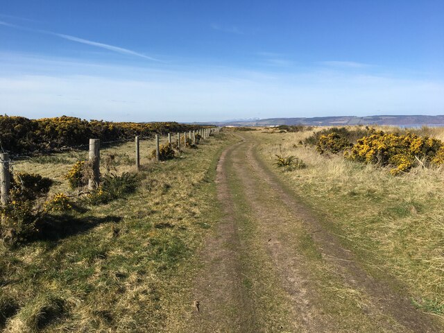
For outdoor enthusiasts, Delnies provides ample opportunities for activities such as hiking, cycling, and fishing. The nearby River Nairn is renowned for its salmon fishing, attracting anglers from far and wide. Golfers can enjoy the nearby Nairn Golf Club, which is ranked among the top courses in Scotland.

The village's proximity to Nairn offers additional amenities and services, including shops, restaurants, and secondary schools. The town also benefits from excellent transport links, with regular bus and rail services connecting to Inverness, the regional capital, and other major cities.

Overall, Delnies offers a charming and scenic Scottish countryside experience, with a strong sense of community and an abundance of natural beauty.

If you have any feedback on the listing, please let us know in the comments section below.
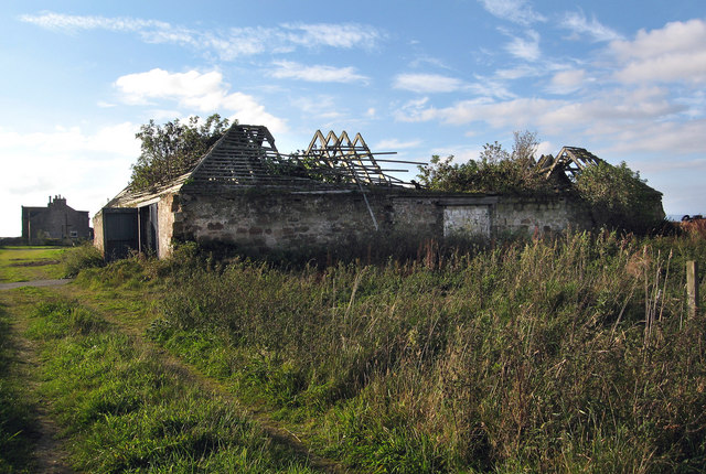
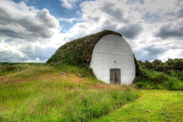
Delnies Images

Images are sourced within 2km of 57.571615/-3.9313549 or Grid Reference NH8455. Thanks to Geograph Open Source API. All images are credited.

As Far as I Could Get With the tide incoming this is as far into this square as I could get.
As Far as I Could Get
With the tide incoming this is as far into this square as I could get.
Driftwood, Carse of Delnies Driftwood slowly being covered by sand.
Driftwood, Carse of Delnies
Driftwood slowly being covered by sand.
Beach at Delnies A fine expanse of sandy beach west of Nairn.
Beach at Delnies
A fine expanse of sandy beach west of Nairn.
The B9091 towards Meikle Kildrummie
Trig Point and Gorse This is a low-lying trig point, having a height of just 40m. Don't let that fool you though - incorporating this into a proper walk without backtracking is very hard work indeed.
I had decided that instead of taking the bus directly to Inverness from a nearby campsite I would catch this trig and get the bus a few miles further down the road, as the contours around here looked inviting and worthy of a detour. Whilst the scenery is as interesting as the contours indicate (from memory I also remember thinking that they could have swapped some of the marsh and pond map symbols around), the gorse hinders most sensible progress.
Heading West from here to get to the fence from where you can cross the water to the South was what can only be described as a battle. I was regularly on my hands and knees, and occasionally tried the crouching while walking backwards technique, with limited success. I think at one point I measured my progress at one metre per minute. I did just make the bus - with ripped trousers, bloody hands, and minus my favourite camping mug! Rucksacks, especially with dangling extras, are not advised.
Trig Point and Gorse
This is a low-lying trig point, having a height of just 40m. Don't let that fool you though - incorporating this into a proper walk without backtracking is very hard work indeed. I had decided that instead of taking the bus directly to Inverness from a nearby campsite I would catch this trig and get the bus a few miles further down the road, as the contours around here looked inviting and worthy of a detour. Whilst the scenery is as interesting as the contours indicate (from memory I also remember thinking that they could have swapped some of the marsh and pond map symbols around), the gorse hinders most sensible progress. Heading West from here to get to the fence from where you can cross the water to the South was what can only be described as a battle. I was regularly on my hands and knees, and occasionally tried the crouching while walking backwards technique, with limited success. I think at one point I measured my progress at one metre per minute. I did just make the bus - with ripped trousers, bloody hands, and minus my favourite camping mug! Rucksacks, especially with dangling extras, are not advised.
Approach to rail bridge over Inverness to Aberdeen rail line
Minor road near Mosshall
Back roads of the Highlands Just a quiet back road
Back roads of the Highlands
Just a quiet back road
Shoreline towards Whiteness Head
Small stream near Hilton of Delnies
Shoreline towards Whiteness Head
Track towards Whiteness Head
Farmland near Wester Delnies
Derelict Barn at Easter Delnies There are plans to turn this into a 'Tourism and Heritage Centre' see link: <span class="nowrap"><a title="http://www.cawdorcastle.com/delnies/" rel="nofollow ugc noopener" href="http://www.cawdorcastle.com/delnies/">Link</a><img style="margin-left:2px;" alt="External link" title="External link - shift click to open in new window" src="https://s1.geograph.org.uk/img/external.png" width="10" height="10"/></span>
Derelict Barn at Easter Delnies
There are plans to turn this into a 'Tourism and Heritage Centre' see link: LinkExternal link
Hilton of Delnies Farm Hilton of Delnies Farm viewed from the footpath to Whiteness Point
Hilton of Delnies Farm
Hilton of Delnies Farm viewed from the footpath to Whiteness Point
Fish Trap Remnants Remnants of the wooden poles of a fish trap on the beach west of Nairn
Fish Trap Remnants
Remnants of the wooden poles of a fish trap on the beach west of Nairn
Ice House Ice house building situated on the western edge of Nairn Golf Course
Ice House
Ice house building situated on the western edge of Nairn Golf Course
Supplemental image of NH8457 from NH8456, taken to show the process I went through of first placing a stone in the square corner
Show me another place!

Delnies is located at Grid Ref: NH8455 (Lat: 57.571615, Lng: -3.9313549)

Unitary Authority: Highland

Police Authority: Highlands and Islands

What 3 Words

///spud.optimists.speedy. Near Nairn, Highland

Nearby Locations

Delnies

Related Wikis

Kildrummie Platform railway station

Kildrummie railway station served the village of Cawdor, Highland, Scotland, from 1855 to 1858 on the Inverness and Nairn Railway. == History == The station...

2012 Curtis Cup

The 37th Curtis Cup Match was played from 8 to 10 June 2012 at Nairn Golf Club in Nairn, Scotland. Great Britain and Ireland won 101⁄2 to 91⁄2. == Format... ==

1999 Walker Cup

The 1999 Walker Cup, the 37th Walker Cup Match, was played on 11–12 September 1999, at Nairn Golf Club in Nairn, Scotland. The event was won by Great Britain...

Nairn Golf Club

Nairn Golf Club is a golf course in Nairn, Scotland. The Nairn Golf Club is noted for hosting the 1999 Walker Cup, 2004 Jacques Léglise Trophy, 2012 Curtis...

Nearby Amenities

Located within 500m of 57.571615,-3.9313549
Bus Stop
Delnies Woods Caravan Site
Naptan AtcoCode: 6700712583
Naptan Bearing: SW
Naptan CommonName: Delnies Woods Caravan Site
Naptan Indicator: at Caravan Site Entrance
Naptan Landmark: Delnies Woods Caravan Site
Naptan NaptanCode: 45327938
Naptan Street: A96
Naptan Verified: no
Source: naptan_import
Lat/Long: 57.5713154/-3.9326457
Bus Stop
Delnies Woods Caravan Site
Naptan AtcoCode: 6700712583A
Naptan Bearing: NE
Naptan CommonName: Delnies Woods Caravan Site
Naptan Indicator: opp Caravan Site Entrance
Naptan Landmark: Delnies Woods Caravan Site
Naptan NaptanCode: 45329423
Naptan Street: A96
Naptan Verified: no
Source: naptan_import
Lat/Long: 57.5721292/-3.9311336
Bus Stop
Wester Delnies
Naptan AtcoCode: 6700713848
Naptan Bearing: E
Naptan CommonName: Wester Delnies
Naptan Indicator: at Road End
Naptan Landmark: Farm Road End
Naptan NaptanCode: 45328965
Naptan Street: B9092
Naptan Verified: no
Source: naptan_import
Lat/Long: 57.5737585/-3.9385616
Bus Stop
Wester Delnies
Naptan AtcoCode: 6700713848A
Naptan Bearing: W
Naptan CommonName: Wester Delnies
Naptan Indicator: opp Road End
Naptan Landmark: Farm Road End
Naptan NaptanCode: 45329675
Naptan Street: B9092
Naptan Verified: no
Source: naptan_import
Lat/Long: 57.573622/-3.9386714
Power: pole
Lat/Long: 57.5720007/-3.9334954
Power: pole
Lat/Long: 57.5688166/-3.9251342
Power: pole
Lat/Long: 57.5723956/-3.9393828
Power: pole
Lat/Long: 57.5718779/-3.9319281
Power: pole
Lat/Long: 57.569869/-3.9272314
Power: pole
Lat/Long: 57.5723065/-3.9379727
Power: pole
Lat/Long: 57.5713404/-3.9299978
Power: pole
Lat/Long: 57.5720874/-3.9349055
Power: pole
Lat/Long: 57.5718221/-3.9308869
Power: pole
Lat/Long: 57.5693368/-3.9261761
Power: pole
Lat/Long: 57.5721909/-3.9364503
Power: pole
Lat/Long: 57.5708415/-3.9291063
Power: pole
Lat/Long: 57.5703457/-3.92821
Power: pole
Lat/Long: 57.5760115/-3.9324797
Power: pole
Lat/Long: 57.5753865/-3.9320339
Power: pole
Lat/Long: 57.5747207/-3.9315813
Power: pole
Lat/Long: 57.5740395/-3.9304949
Power: pole
Lat/Long: 57.5737398/-3.9301705
Power: pole
Lat/Long: 57.5734818/-3.9299237
Power: pole
Lat/Long: 57.5730593/-3.9294766
Power: pole
Lat/Long: 57.5728597/-3.9299919
Power: pole
Lat/Long: 57.5737668/-3.9384393
Power: pole
Lat/Long: 57.5730403/-3.9385102
Power: pole
Lat/Long: 57.5723912/-3.9385838
Power: pole
Lat/Long: 57.5716763/-3.938682
Power: pole
Lat/Long: 57.5710052/-3.9387338
Power: pole
Lat/Long: 57.5685512/-3.925549
Power: pole
Lat/Long: 57.5683887/-3.9266788
Power: pole
Lat/Long: 57.568195/-3.9279904
Power: pole
Lat/Long: 57.5680039/-3.9292851
Power: pole
Lat/Long: 57.5678153/-3.9305894
Power: pole
Lat/Long: 57.5676177/-3.9318962
Power: pole
Lat/Long: 57.5674383/-3.9331157
Crossing
Lat/Long: 57.5736803/-3.9300498
The data included in this document is from www.openstreetmap.org. The data is made available under ODbL.

Have you been to Delnies?

Leave your review of Delnies below (or comments, questions and feedback).