Delny

Settlement in Ross-shire

Scotland

Delny

Barbaraville Pond Ducks on a pond in Barbraville, near the shore.
Barbaraville Pond Credit: John MacKenzie

The requested URL returned error: 429 Too Many Requests

If you have any feedback on the listing, please let us know in the comments section below.
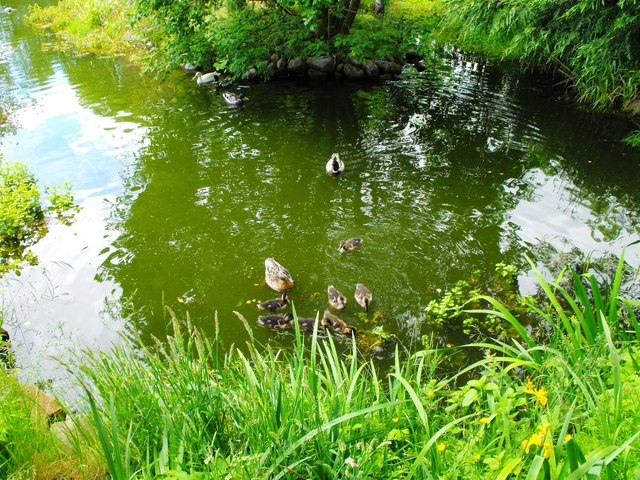
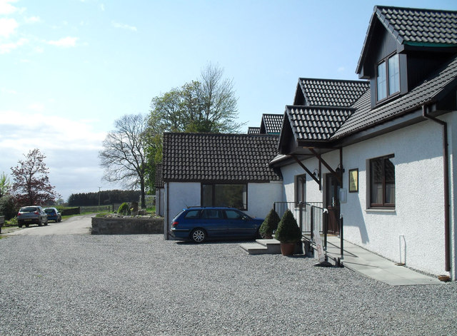
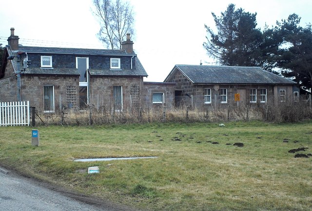
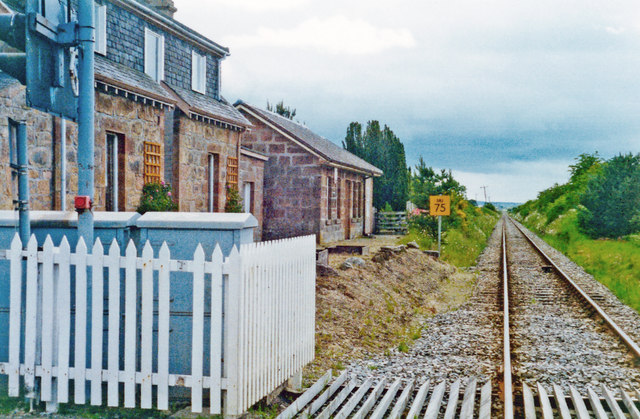
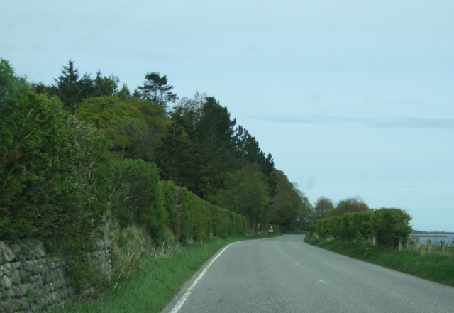
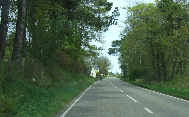
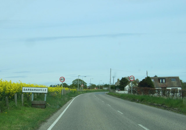
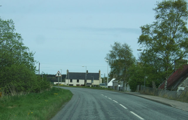
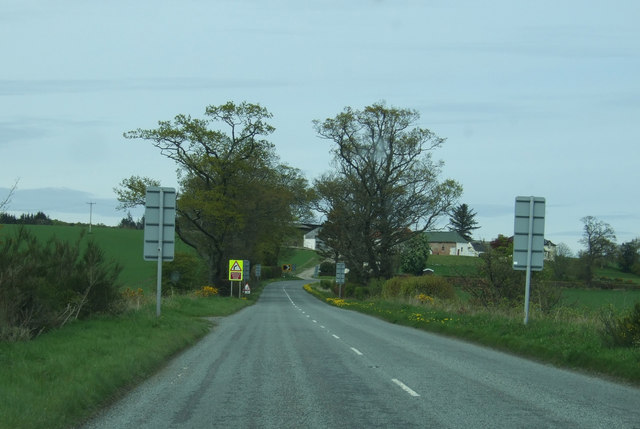
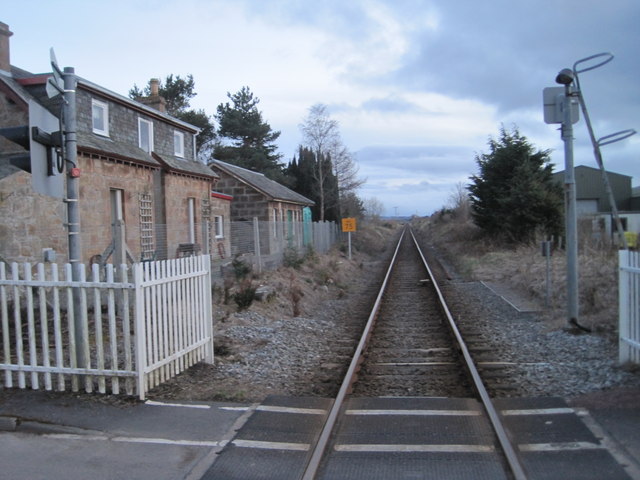
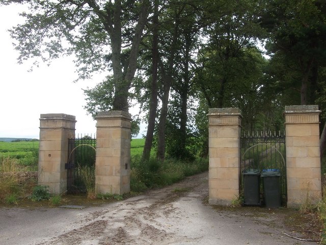
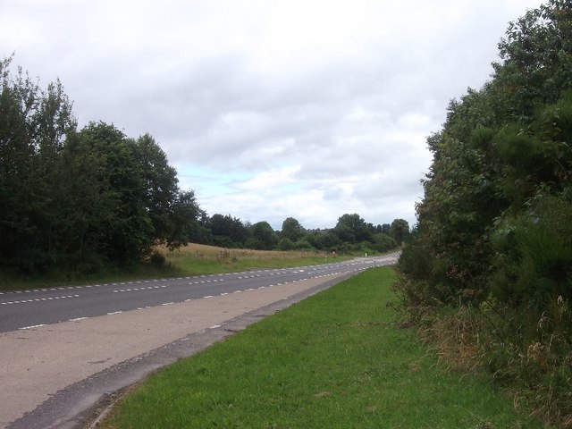
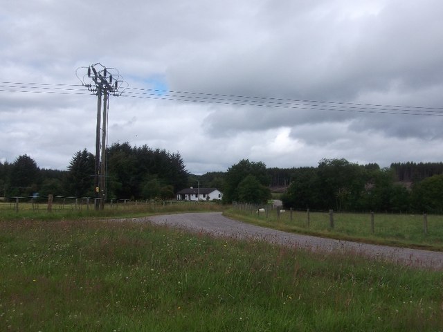
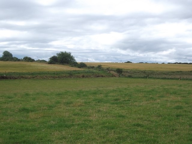
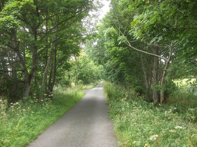
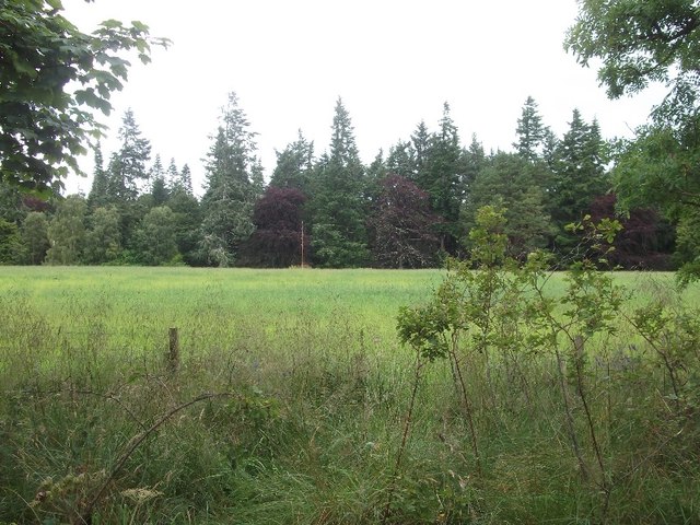
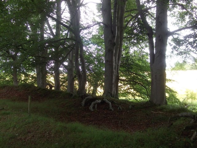
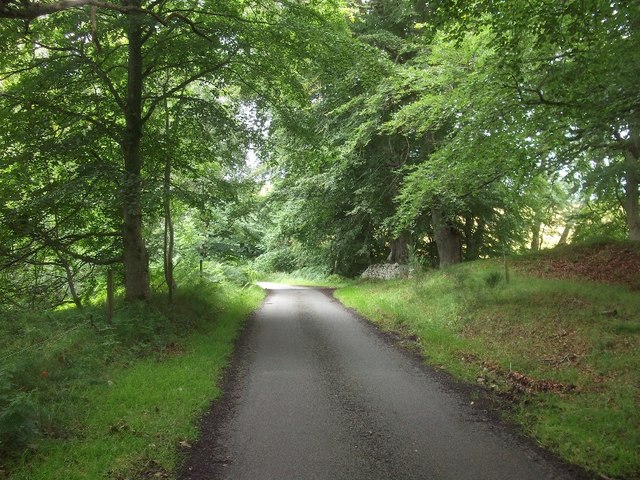
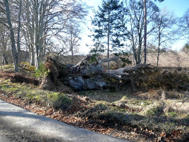
Delny Images

Images are sourced within 2km of 57.723186/-4.1267969 or Grid Reference NH7372. Thanks to Geograph Open Source API. All images are credited.

Barbaraville Pond Ducks on a pond in Barbraville, near the shore.
Barbaraville Pond
Ducks on a pond in Barbraville, near the shore.
Birch Tree Bistro at Delny Muir Attached to the Invergordon Riding Centre
Birch Tree Bistro at Delny Muir
Attached to the Invergordon Riding Centre
Delny Railway Station Stationmaster's House and Station Building at the now closed Delny Station
Delny Railway Station
Stationmaster's House and Station Building at the now closed Delny Station
Former station at Delny, 1994 View SW, towards Dingwall and Inverness: ex-Highland Railway, Inverness - Dingwall - Thurso/Wick 'Far North' line. The station was to passengers 13/6/60, to goods 15/6/64, but the line flourishes. (Cf. <a href="https://www.geograph.org.uk/photo/2191228">NH7472 : North Highland line near Delny</a>).
Former station at Delny, 1994
View SW, towards Dingwall and Inverness: ex-Highland Railway, Inverness - Dingwall - Thurso/Wick 'Far North' line. The station was to passengers 13/6/60, to goods 15/6/64, but the line flourishes. (Cf. NH7472 : North Highland line near Delny).
Nearing Balintraid Heading north east on the B817.
Nearing Balintraid
Heading north east on the B817.
Coastal road, Pollo B817 heading north east.
Coastal road, Pollo
B817 heading north east.
Entering Barbaraville On the B817.
Entering Barbaraville
On the B817.
Bend in the B817, Barbaraville
Towards Polnicol Heading north east on the B817.
Towards Polnicol
Heading north east on the B817.
Delny railway station (site), Highland Opened in 1864 on the Highland Railway's line from Dingwall to Wick, this station closed to passengers in 1960 and completely in 1964.
View south west towards Invergordon and Dingwall. The former platform was to the left of the line.
Delny railway station (site), Highland
Opened in 1864 on the Highland Railway's line from Dingwall to Wick, this station closed to passengers in 1960 and completely in 1964. View south west towards Invergordon and Dingwall. The former platform was to the left of the line.
Drive end, Rhives
Drive end, Rhives
A9, Tullich The new A9 alignment in Easter Ross.
A9, Tullich
The new A9 alignment in Easter Ross.
Road triangle, Tullich Muir A road junction in the partly forested landscape of Easter Ross.
Road triangle, Tullich Muir
A road junction in the partly forested landscape of Easter Ross.
Upper Tullich A landscape of glacial deposits, with a mix of farmland and forest.
Upper Tullich
A landscape of glacial deposits, with a mix of farmland and forest.
Yellow road, Kindeace Leaving a woodland on a sane alternative to the A9.  Unfortunately all such roads pitch you on to the main road sooner or later.  Please provide a bike lane between the yellow road junctions on the A9 and A90.
Yellow road, Kindeace
Leaving a woodland on a sane alternative to the A9. Unfortunately all such roads pitch you on to the main road sooner or later. Please provide a bike lane between the yellow road junctions on the A9 and A90.
Kindeace A field amongst the woods.
Kindeace
A field amongst the woods.
Beeches, Kindeace On an earthbank, suggesting a former hedge.
Beeches, Kindeace
On an earthbank, suggesting a former hedge.
Yellow road, Kindeace
Show me another place!

Delny is located at Grid Ref: NH7372 (Lat: 57.723186, Lng: -4.1267969)

Unitary Authority: Highland

Police Authority: Highlands and Islands

What 3 Words

///innocence.fallen.outermost. Near Invergordon, Highland

Nearby Locations

Delny

Related Wikis

Delny railway station

Delny railway station served the hamlet of Delny, Ross-shire, Scotland from 1864 to 1964 on the Inverness and Ross-shire Railway. == History == The station...

Delny

Delny (Scottish Gaelic: Deilgnidh) is a small hamlet in the parish of Kilmuir-Easter in Ross-shire, Scotland. It was the site of a castle, that was once...

Barbaraville

Barbaraville (Scottish Gaelic: An Cladach) is a small settlement on the north shore of Nigg Bay in the Cromarty Firth in the Highland council area of Scotland...

Balintraid

Balintraid (Scottish Gaelic: Baile na TrĂ ghad) is an industrial settlement, which was built largely in the 1970s with the growth of the North Sea oil...

Nearby Amenities

Located within 500m of 57.723186,-4.1267969
Delny
Place: hamlet
Lat/Long: 57.7224754/-4.1267621
Parking
Lat/Long: 57.722794/-4.1324894
Delny Glamping
Tourism: camp_site
Lat/Long: 57.7220043/-4.1271767
Power: pole
Lat/Long: 57.7265565/-4.1304792
Power: pole
Lat/Long: 57.7262833/-4.1298924
Power: pole
Lat/Long: 57.7260708/-4.1294579
Power: pole
Lat/Long: 57.7258073/-4.1288792
Power: pole
Lat/Long: 57.7255558/-4.1283229
Power: pole
Lat/Long: 57.7252186/-4.1275859
Power: pole
Lat/Long: 57.7247166/-4.1274092
Power: pole
Lat/Long: 57.7241442/-4.1272143
Power: pole
Lat/Long: 57.7273419/-4.1292447
The data included in this document is from www.openstreetmap.org. The data is made available under ODbL.

Have you been to Delny?

Leave your review of Delny below (or comments, questions and feedback).