Darland

Settlement in Kent

England

Darland

Woodside, Wigmore
Woodside, Wigmore Credit: Chris Whippet

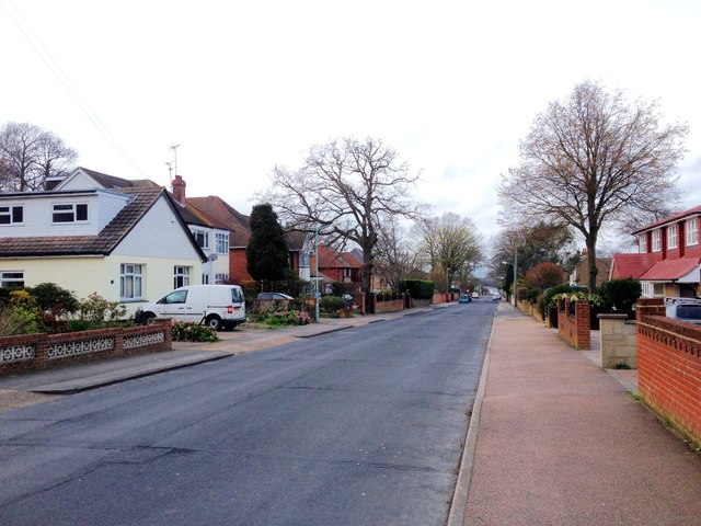
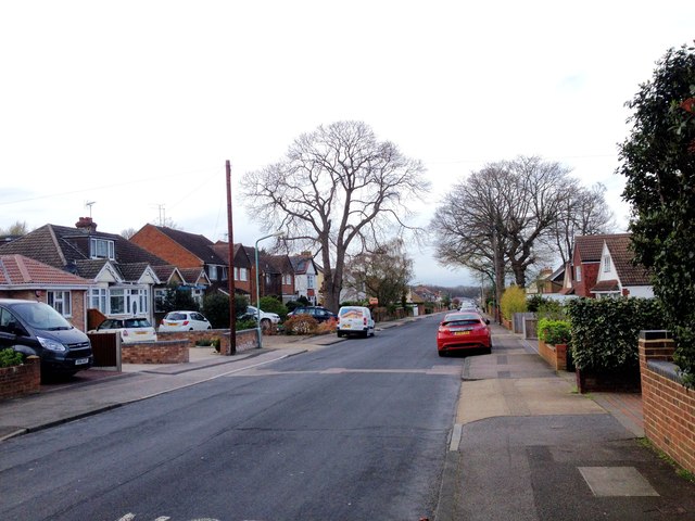
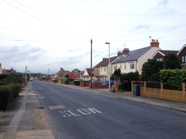
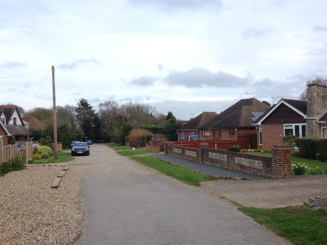
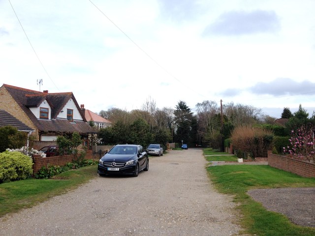
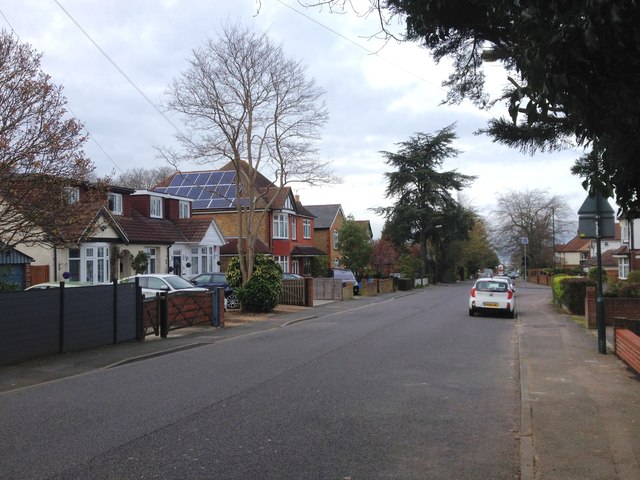
Darland is a small village located in the county of Kent, in southeastern England. Situated approximately 8 miles east of the city of Maidstone, Darland is nestled in a picturesque rural setting, surrounded by rolling hills and lush green fields. The village is part of the civil parish of Thurnham, within the borough of Maidstone.

With a population of around 500 residents, Darland is a close-knit community known for its tranquility and natural beauty. The village is characterized by its charming traditional houses, many of which date back to the 18th and 19th centuries, giving it a quaint and timeless atmosphere.

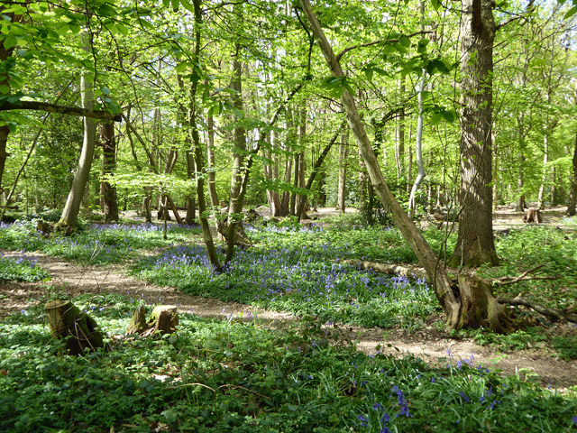
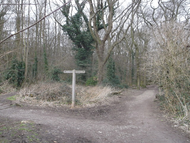
Darland benefits from its proximity to the Kent Downs, an Area of Outstanding Natural Beauty, offering residents and visitors alike plenty of opportunities for outdoor activities such as hiking, cycling, and picnicking. The nearby River Medway also provides a picturesque spot for fishing and boating enthusiasts.

While Darland itself does not have many amenities, the village is conveniently located near a range of services and facilities. The nearby town of Bearsted, just a short drive away, offers a variety of shops, restaurants, and a golf course. Additionally, the city of Maidstone provides a wider range of amenities, including shopping centers, leisure facilities, and cultural attractions.

Overall, Darland is a peaceful and idyllic village, offering residents a rural lifestyle with easy access to the nearby towns and cities in Kent.

If you have any feedback on the listing, please let us know in the comments section below.
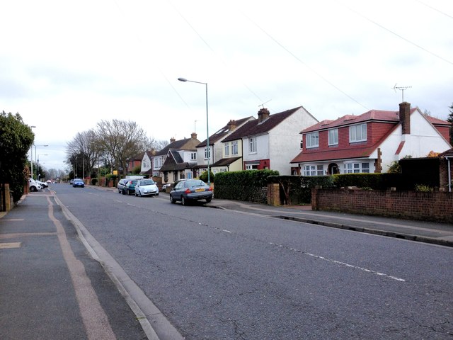
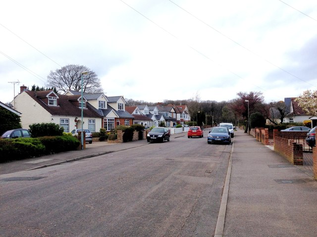
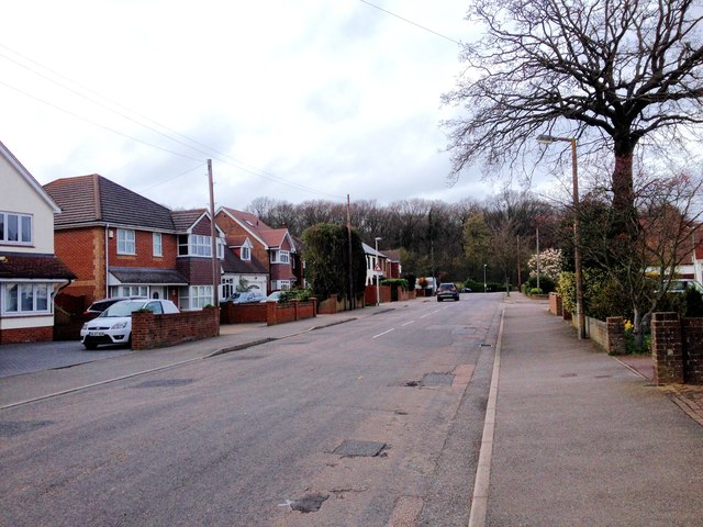
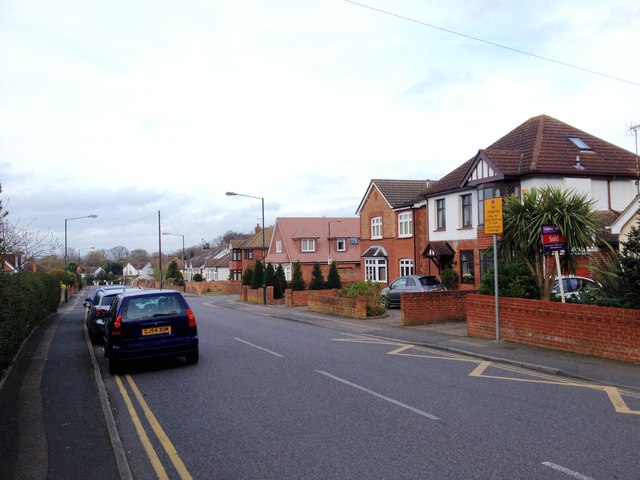
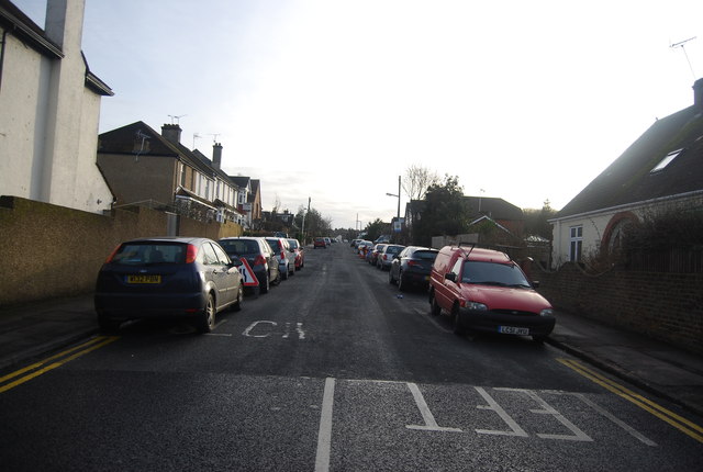
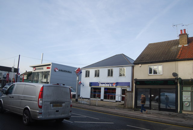
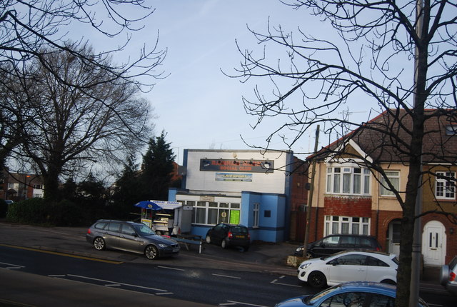
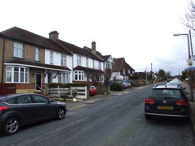
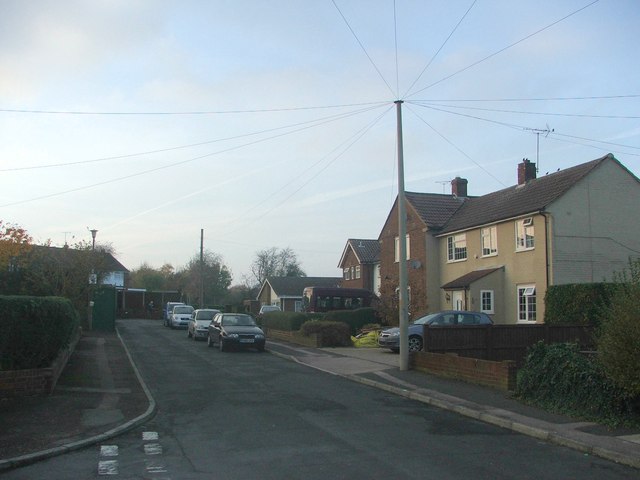
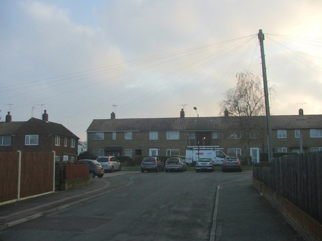
Darland Images

Images are sourced within 2km of 51.361721/0.55901414 or Grid Reference TQ7865. Thanks to Geograph Open Source API. All images are credited.

Woodside, Wigmore
Woodside, Wigmore
Springvale, Wigmore
Springvale, Wigmore
Springvale, Wigmore
Springvale, Wigmore
Marshall Road, Rainham
Edwin Road, Rainham
Edwin Road, Rainham
Edwin Road, Rainham
Edwin Road, Rainham
Edwin Road, Rainham
Edwin Road, Rainham
Sylvan Road, Rainham
Marshall Road, Rainham
In East Hoath Wood, Rainham A public wood.
In East Hoath Wood, Rainham
A public wood.
Path in East Hoath Wood, Wigmore A path leads from Durham Road into the wood and then a path leads left towards Hoath Lane. Another lane leads straight on into the wood.
Path in East Hoath Wood, Wigmore
A path leads from Durham Road into the wood and then a path leads left towards Hoath Lane. Another lane leads straight on into the wood.
Edwin Rd
Edwin Rd
Domino's, London Rd See Wikipedia article: <span class="nowrap"><a title="http://en.wikipedia.org/wiki/Domino's_Pizza" rel="nofollow ugc noopener" href="http://en.wikipedia.org/wiki/Domino's_Pizza">Link</a><img style="margin-left:2px;" alt="External link" title="External link - shift click to open in new window" src="https://s1.geograph.org.uk/img/external.png" width="10" height="10"/></span>
Domino's, London Rd
See Wikipedia article: LinkExternal link
Rainham Mark Social Club
Edwin Road, Rainham
Edwin Road, Rainham
Patrixbourne Avenue, Twydall
Selstead Close, Twydall
Show me another place!

Darland is located at Grid Ref: TQ7865 (Lat: 51.361721, Lng: 0.55901414)

Unitary Authority: Medway

Police Authority: Kent

What 3 Words

///magically.wider.crystals. Near Chatham, Kent

Related Wikis

Darland Banks

Darland Banks is a 29.1-hectare (72-acre) Local Nature Reserve on the southern outskirts of Gillingham in Kent. It is owned by Medway Council and managed...

Capstone Farm Country Park

Capstone Farm Country Park is in Chatham, Kent, Medway, in Kent, England. A former farm converted into a landscaped park and open-space area. This park...

Gillingham and Rainham (UK Parliament constituency)

Gillingham and Rainham is a constituency in Kent represented in the House of Commons of the UK Parliament since its 2010 creation by Rehman Chishti, a...

Fort Darland

Fort Darland was a post-mediaeval infantry fort built from 1870 to 1900 as part of the defensive network for Chatham Dockyard. It was demolished in the...

Ambley Wood

Ambley Wood is a 14-hectare (35-acre) Local Nature Reserve in Gillingham in Kent. It is owned and managed by Medway Council.The site has ancient woodland...

Hollands & Blair F.C.

Hollands & Blair Football Club is a football club based in Gillingham, Kent, England. They are currently members of the Southern Counties East League Premier...

Jezreel's tower

Jezreel's Tower (also known as Jezreel's Temple) was built in Gillingham, Kent, England, by a religious sect founded by James Jershom Jezreel in the 1880s...

Chatham Grammar School for Girls

Chatham Grammar School for Girls ("CGSG") is a girls grammar school with academy status and a mixed sixth form. In September 2017 it became a member school...

Nearby Amenities

Located within 500m of 51.361721,0.55901414
Mini Roundabout
Direction: clockwise
Lat/Long: 51.3639683/0.5548125
Parking
Access: yes
Lat/Long: 51.3641949/0.5546164
Bus Stop
Windy Ridge
Bus: yes
Naptan AtcoCode: 249000000830
Naptan Bearing: W
Naptan CommonName: Windy Ridge
Naptan Indicator: opp
Naptan Landmark: Windy Ridge
Naptan NaptanCode: chajgpj
Naptan PlusbusZoneRef: MEDWAY
Naptan Street: Kingsway
Naptan Verified: no
Public Transport: platform
Source: naptan_import
Lat/Long: 51.3659774/0.5601937
Bus Stop
Capstone Farm Country Park
Bus: yes
Naptan AtcoCode: 249000000975
Naptan Bearing: NW
Naptan CommonName: Capstone Farm Country Park
Naptan Indicator: Entrance
Naptan Landmark: Capstone Farm Country Park
Naptan NaptanCode: chajptg
Naptan PlusbusZoneRef: MEDWAY
Naptan Street: Capstone Road
Naptan Verified: no
Public Transport: platform
Source: naptan_import
Lat/Long: 51.358319/0.5565353
Cafe
Cafe Focus
Addr City: Chatham
Addr Postcode: ME7 3JG
Addr Street: Capstone Road
Fhrs Authority: Medway
Fhrs Id: 859398
Fhrs Inspectiondate: 2016-03-17
Fhrs Rating: 4
Level: 0
Outdoor Seating: yes
Lat/Long: 51.3590227/0.5551529
Toilets
Lat/Long: 51.3588976/0.5551873
Leisure: picnic_table
Lat/Long: 51.3587529/0.5556079
Tourism: information
Lat/Long: 51.3588627/0.5546722
Bench
Lat/Long: 51.3597955/0.5541576
Post Box
Operator: Royal Mail
Post Box Type: lamp
Ref: ME7 294
Lat/Long: 51.3582824/0.5571636
Power: pole
Source: bing
Lat/Long: 51.359028/0.5620569
Power: pole
Source: bing
Lat/Long: 51.3596711/0.5602947
Material: wood
Power: pole
Source: bing
Lat/Long: 51.3614582/0.5553809
Power: pole
Source: bing
Lat/Long: 51.3619572/0.5525726
Generator Method: photovoltaic
Generator Output Electricity: yes
Generator Source: solar
Generator Type: solar_photovoltaic_panel
Location: roof
Power: generator
Lat/Long: 51.3598118/0.5565557
Generator Method: photovoltaic
Generator Output Electricity: yes
Generator Source: solar
Generator Type: solar_photovoltaic_panel
Location: surface
Power: generator
Lat/Long: 51.3626322/0.5559254
Entrance: yes
Lat/Long: 51.358976/0.5540248
Entrance: yes
Lat/Long: 51.3590398/0.5540568
Bench
Lat/Long: 51.3590012/0.5550895
Bench
Lat/Long: 51.3589734/0.5550799
Bench
Lat/Long: 51.3590986/0.5550552
Bench
Lat/Long: 51.3591027/0.5551523
Bench
Lat/Long: 51.359099/0.5551936
Bench
Lat/Long: 51.3590936/0.5552617
The data included in this document is from www.openstreetmap.org. The data is made available under ODbL.

Have you been to Darland?

Leave your review of Darland below (or comments, questions and feedback).