Darenth Valley
Settlement in Kent Dartford
England
Darenth Valley
Darenth Valley is a picturesque area located in the county of Kent, in southeastern England. Situated within the district of Dartford, this valley is notable for its stunning natural beauty and tranquil atmosphere.
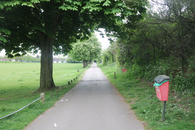
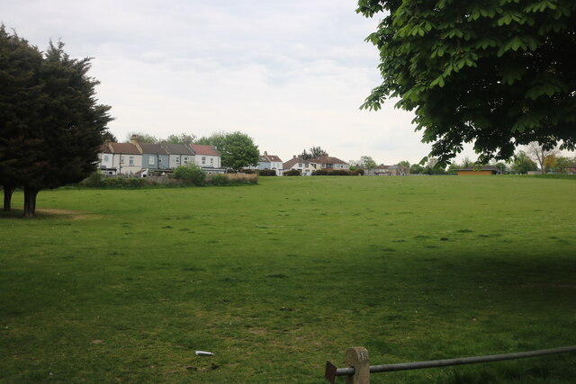
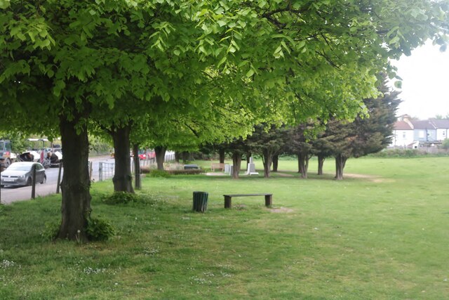
The valley is characterized by its rolling hills, lush green fields, and meandering river, which gives it a serene and idyllic ambiance. It is a popular destination for nature lovers and outdoor enthusiasts who enjoy activities such as hiking, cycling, and birdwatching. The Darenth Country Park, which spans across 74 hectares, offers numerous walking trails and picnic areas, providing visitors with ample opportunities to explore the rich biodiversity of the region.
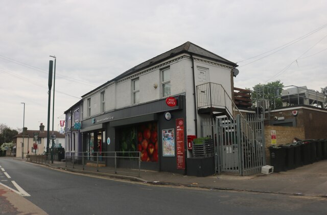
In addition to its natural splendor, Darenth Valley also boasts a rich historical heritage. The area is home to several ancient landmarks, including the Roman villa at Lullingstone and the ruins of Eynsford Castle, which offer glimpses into the past. The valley is also dotted with charming villages, such as Eynsford and Farningham, which feature historic buildings, traditional pubs, and quaint shops.
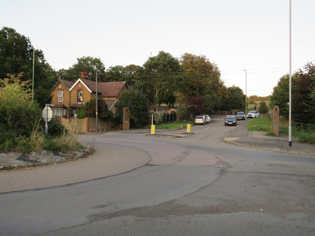
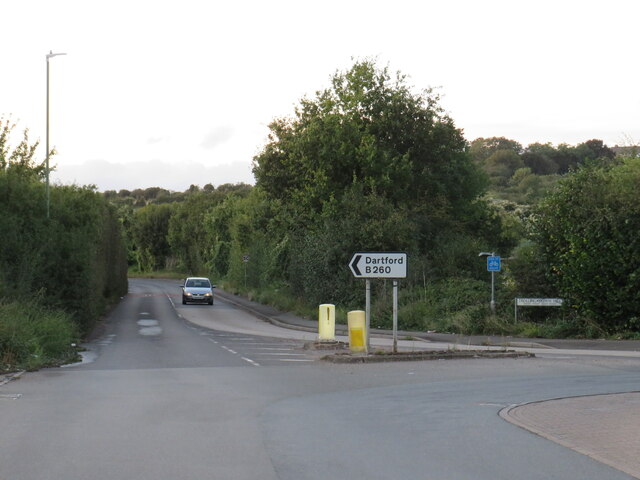
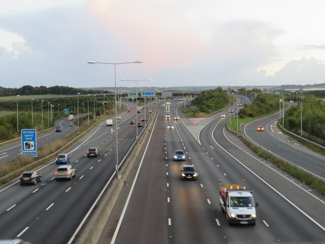
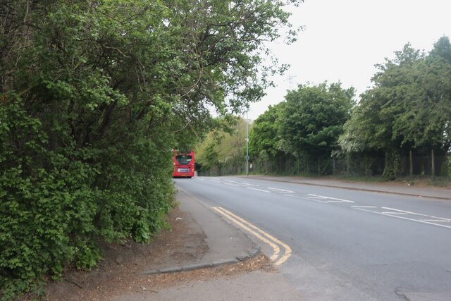
Darenth Valley is well-connected to surrounding towns and cities, with easy access to transportation links such as the A20 and M25 motorways. This makes it an ideal location for commuters who wish to enjoy a peaceful and scenic countryside setting while still having convenient access to urban amenities.
Overall, Darenth Valley is a captivating destination that combines natural beauty, historical significance, and a peaceful atmosphere, making it a cherished location within the county of Kent.
If you have any feedback on the listing, please let us know in the comments section below.
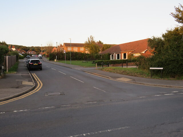
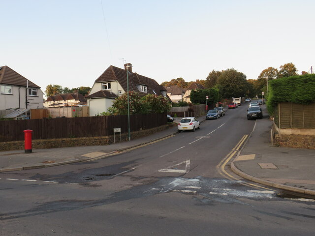
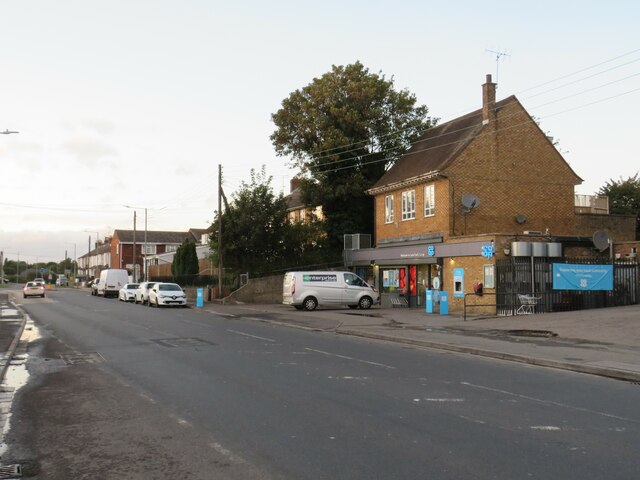
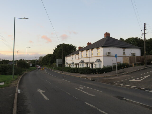
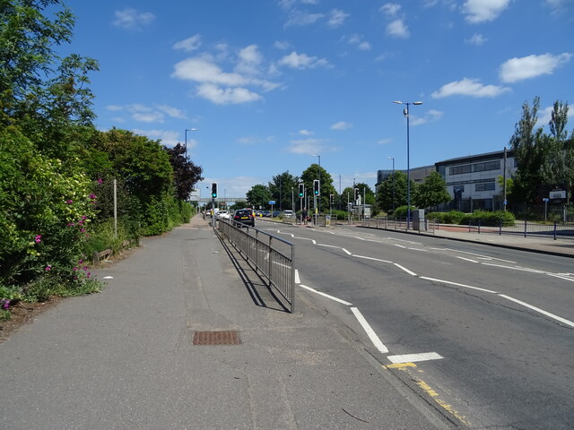
Darenth Valley Images
Images are sourced within 2km of 51.432616/0.25667364 or Grid Reference TQ5672. Thanks to Geograph Open Source API. All images are credited.


Darenth Valley is located at Grid Ref: TQ5672 (Lat: 51.432616, Lng: 0.25667364)
Administrative County: Kent
District: Dartford
Police Authority: Kent
What 3 Words
///kinks.rigid.friday. Near Darenth, Kent
Nearby Locations
Related Wikis
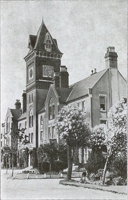
Darenth Park Hospital
Darenth Park Hospital was a healthcare facility in Darenth near Dartford in Kent, originally founded as Darenth School. == History == The hospital was...
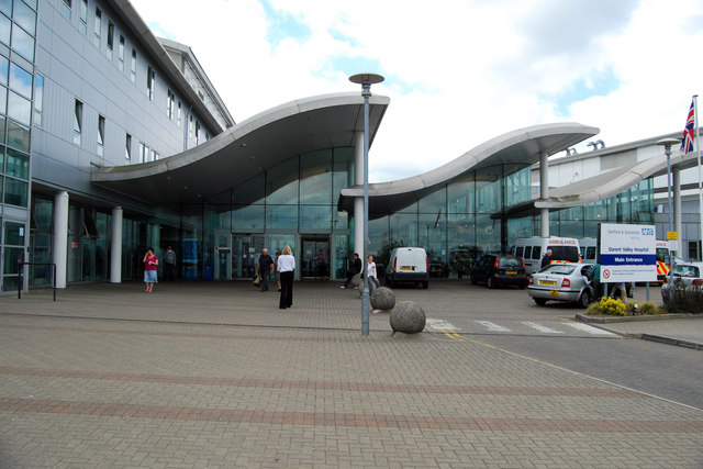
Darent Valley Hospital
Darent Valley Hospital is a 478-bed, acute district general hospital in Dartford, Kent, England. The hospital has an Emergency Department. The hospital...

Darenth Country Park
Darenth Country Park is in Darenth near Dartford, in Kent, England. On the site of a former demolished hospital site Darenth Park Hospital, also the site...

Darenth Wood
Darenth Wood is a 122.9-hectare (304-acre) biological Site of Special Scientific Interest east of Dartford in Kent.This ancient semi-natural wood has many...
Watling Street (Dartford)
Watling Street was a football ground in Dartford, England. Located adjacent to Watling Street, it was the home ground of Dartford F.C. from 1921 until...

Bluewater (shopping centre)
Bluewater Shopping Centre (commonly referred to as Bluewater) is an out-of-town shopping centre in Stone (postally Greenhithe), Kent, England, just outside...
Stone, Kent
Stone is a village in the Borough of Dartford in Kent, England. It is located 2.5 miles east of Dartford. == History == Iron Age pottery and artefacts...
Darenth
Darenth is a village and civil parish in the Borough of Dartford, Kent, England. It is located 3.4 miles south east of Dartford and 4.6 miles north east...
Nearby Amenities
Located within 500m of 51.432616,0.25667364Have you been to Darenth Valley?
Leave your review of Darenth Valley below (or comments, questions and feedback).