Grove Wood

Wood, Forest in Kent

England

Grove Wood

Bredhurst Road, Wigmore
Bredhurst Road, Wigmore Credit: Chris Whippet

Grove Wood, located in Kent, England, is a charming and picturesque woodland that covers an area of approximately 50 acres. Situated near the village of Grove, the wood is a popular spot for both locals and visitors to enjoy the beauty of nature and escape the hustle and bustle of everyday life.

The wood features a diverse range of trees, including oak, beech, birch, and hornbeam, creating a rich and vibrant ecosystem. These trees provide a natural habitat for a variety of wildlife, such as squirrels, deer, and a wide array of bird species. Birdwatchers will delight in the opportunity to spot species like robins, blue tits, and woodpeckers.

Grove Wood offers numerous walking trails, allowing visitors to explore the tranquil surroundings at their own pace. These paths are well-maintained and suitable for individuals of all ages and abilities. Along the way, there are benches strategically placed for those who wish to take a moment to appreciate the surroundings or enjoy a picnic.

Visitors to Grove Wood can also take advantage of the designated picnic areas, which provide a perfect setting for families and friends to gather and enjoy a meal amidst the lush greenery. Additionally, there are several information boards scattered throughout the wood, providing educational insights about the local flora and fauna.

Overall, Grove Wood in Kent is a nature lover's paradise, offering a serene and peaceful environment that allows visitors to reconnect with nature and experience the beauty of a traditional English woodland.

If you have any feedback on the listing, please let us know in the comments section below.
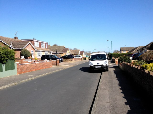
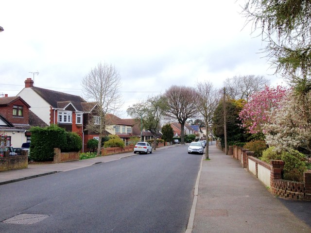
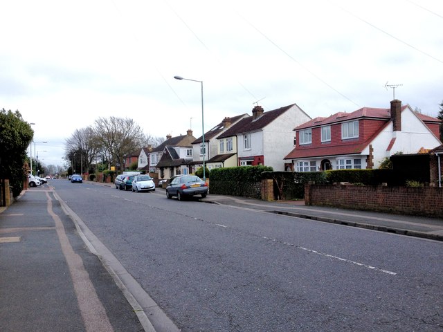
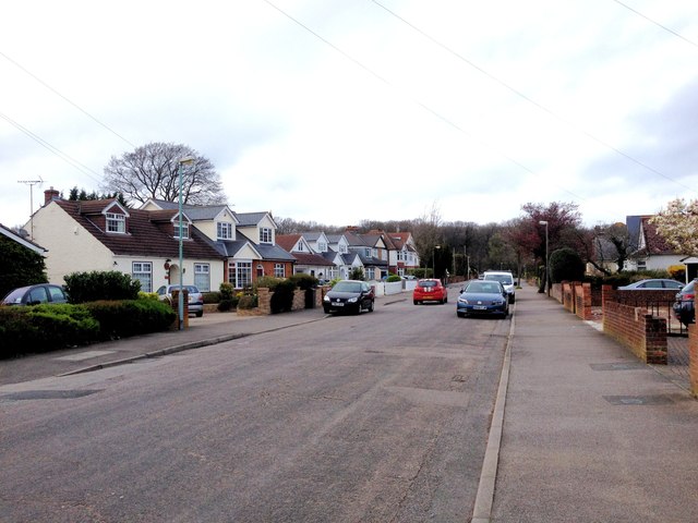
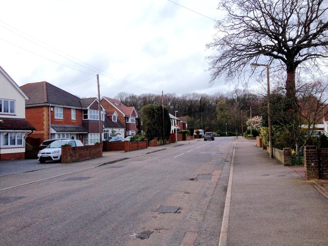
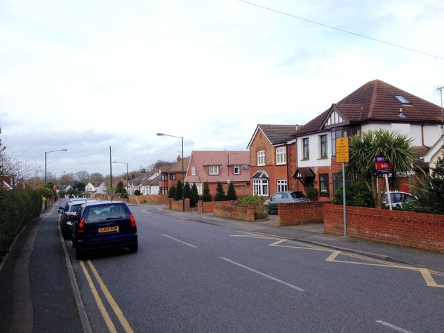
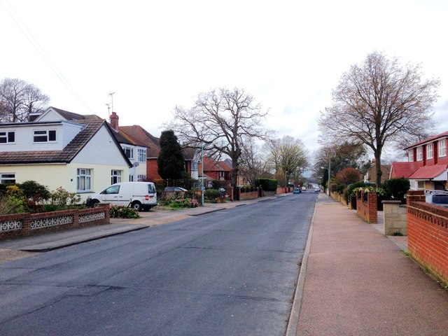
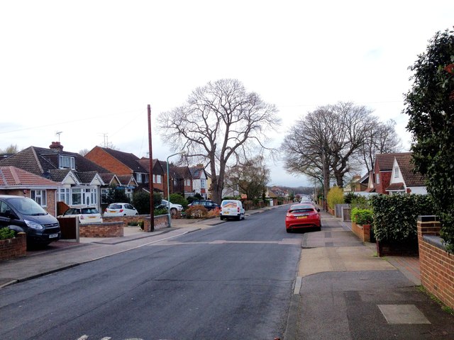
Grove Wood Images

Images are sourced within 2km of 51.357397/0.5647056 or Grid Reference TQ7865. Thanks to Geograph Open Source API. All images are credited.

Bredhurst Road, Wigmore
Fairview Avenue, Wigmore
St. Margaret's Drive, Wigmore
Carvoran Way, Wigmore
Edwards Close, Wigmore
Lakewood Drive, Wigmore
Bredhurst Road, Wigmore
Tanglewood Close, Wigmore
Woodside, Wigmore
Woodside, Wigmore
Springvale, Wigmore
Springvale, Wigmore
Springvale, Wigmore
Springvale, Wigmore
Cambridge Road, Wigmore
Marshall Road, Rainham
Edwin Road, Rainham
Edwin Road, Rainham
Edwin Road, Rainham
Edwin Road, Rainham
Show me another place!

Grove Wood is located at Grid Ref: TQ7865 (Lat: 51.357397, Lng: 0.5647056)

Unitary Authority: Medway

Police Authority: Kent

What 3 Words

///mainly.clothed.cubes. Near Rainham, Kent

Related Wikis

Darland Banks

Darland Banks is a 29.1-hectare (72-acre) Local Nature Reserve on the southern outskirts of Gillingham in Kent. It is owned by Medway Council and managed...

Ambley Wood

Ambley Wood is a 14-hectare (35-acre) Local Nature Reserve in Gillingham in Kent. It is owned and managed by Medway Council.The site has ancient woodland...

Capstone Farm Country Park

Capstone Farm Country Park is in Chatham, Kent, Medway, in Kent, England. A former farm converted into a landscaped park and open-space area. This park...
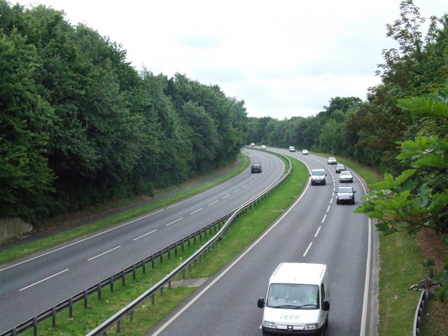
A278 road

The A278 (Hoath Way) is a road running north–south in north Kent, England. The whole length of the road is dual carriageway, within Medway Council but...

Gillingham and Rainham (UK Parliament constituency)

Gillingham and Rainham is a constituency in Kent represented in the House of Commons of the UK Parliament since its 2010 creation by Rehman Chishti, a...
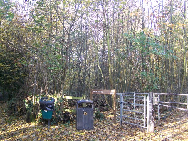
South Wood

South Wood is a 6.6-hectare (16-acre) Local Nature Reserve in Hempstead, south of Gillingham in Kent. It is owned and managed by Medway Council.This wood...

Fort Darland

Fort Darland was a post-mediaeval infantry fort built from 1870 to 1900 as part of the defensive network for Chatham Dockyard. It was demolished in the...

Hollands & Blair F.C.

Hollands & Blair Football Club is a football club based in Gillingham, Kent, England. They are currently members of the Southern Counties East League Premier...

Nearby Amenities

Located within 500m of 51.357397,0.5647056
Capstone
Place: hamlet
Source: npe
Lat/Long: 51.3556042/0.558817
Bus Stop
Dukes Meadow Drive
Bus: yes
Naptan AtcoCode: 249000000186
Naptan Bearing: N
Naptan CommonName: Dukes Meadow Drive
Naptan Indicator: o/s 18
Naptan Landmark: Pear Tree Lane
Naptan NaptanCode: chadpjp
Naptan PlusbusZoneRef: MEDWAY
Naptan Street: Dukes Meadow Drive
Naptan Verified: no
Public Transport: platform
Source: naptan_import
Lat/Long: 51.3547596/0.5656441
Bus Stop
Dukes Meadow Drive
Bus: yes
Naptan AtcoCode: 249000000187
Naptan Bearing: S
Naptan CommonName: Dukes Meadow Drive
Naptan Indicator: o/s 25
Naptan Landmark: Pear Tree Lane
Naptan NaptanCode: chadpjt
Naptan PlusbusZoneRef: MEDWAY
Naptan Street: Dukes Meadow Drive
Naptan Verified: no
Public Transport: platform
Source: naptan_import
Lat/Long: 51.3550269/0.5657595
Power: pole
Source: bing
Lat/Long: 51.359028/0.5620569
Design: guyed_h-frame
Material: wood
Power: tower
Source: bing
Lat/Long: 51.3579276/0.566079
Power: pole
Source: bing
Lat/Long: 51.3580013/0.5646318
Power: pole
Source: bing
Lat/Long: 51.3596711/0.5602947
Power: pole
Lat/Long: 51.3590355/0.5700217
Power: pole
Lat/Long: 51.3594341/0.5704039
Power: pole
Lat/Long: 51.3587148/0.5668393
Pear Tree Ln Hemp
Location Transition: yes
Material: wood
Operator: UK Power Networks
Power: pole
Ref: 311955
Transformer: distribution
Lat/Long: 51.3559009/0.5672201
Power: pole
Lat/Long: 51.3573648/0.5683333
Power: pole
Lat/Long: 51.358142/0.5689931
Power: pole
Transformer: distribution
Lat/Long: 51.3589459/0.5696154
Design: h-frame
Material: wood
Power: tower
Lat/Long: 51.3595422/0.5676292
Power: pole
Lat/Long: 51.3604424/0.5690508
Cafe
Lat/Long: 51.3557261/0.5597311
Generator Method: photovoltaic
Generator Output Electricity: yes
Generator Source: solar
Generator Type: solar_photovoltaic_panel
Location: roof
Power: generator
Lat/Long: 51.3552359/0.5634999
Generator Method: photovoltaic
Generator Output Electricity: yes
Generator Source: solar
Generator Type: solar_photovoltaic_panel
Location: roof
Power: generator
Lat/Long: 51.3559746/0.5705407
Generator Method: photovoltaic
Generator Output Electricity: yes
Generator Source: solar
Generator Type: solar_photovoltaic_panel
Location: roof
Power: generator
Lat/Long: 51.3545525/0.5684486
Generator Method: photovoltaic
Generator Output Electricity: yes
Generator Source: solar
Generator Type: solar_photovoltaic_panel
Location: roof
Power: generator
Lat/Long: 51.3554637/0.5695724
Generator Method: photovoltaic
Generator Output Electricity: yes
Generator Source: solar
Generator Type: solar_photovoltaic_panel
Location: roof
Power: generator
Lat/Long: 51.3554604/0.5678666
Generator Method: photovoltaic
Generator Output Electricity: yes
Generator Source: solar
Generator Type: solar_photovoltaic_panel
Location: roof
Power: generator
Lat/Long: 51.3553599/0.5652809
Generator Method: photovoltaic
Generator Output Electricity: yes
Generator Source: solar
Generator Type: solar_photovoltaic_panel
Location: roof
Power: generator
Lat/Long: 51.35472/0.5653238
Generator Method: photovoltaic
Generator Output Electricity: yes
Generator Source: solar
Generator Type: solar_photovoltaic_panel
Location: roof
Power: generator
Lat/Long: 51.3535718/0.5649564
Generator Method: photovoltaic
Generator Output Electricity: yes
Generator Source: solar
Generator Type: solar_photovoltaic_panel
Location: roof
Power: generator
Lat/Long: 51.3535056/0.5649188
Generator Method: photovoltaic
Generator Output Electricity: yes
Generator Source: solar
Generator Type: solar_photovoltaic_panel
Location: roof
Power: generator
Lat/Long: 51.3537317/0.565592
Bench
Lat/Long: 51.3559166/0.5593113
Bench
Lat/Long: 51.3558891/0.5593542
Bench
Lat/Long: 51.3558322/0.5596289
Bench
Lat/Long: 51.3558094/0.5595785
Bench
Lat/Long: 51.3557772/0.5596192
Entrance: yes
Lat/Long: 51.3555822/0.5599106
The data included in this document is from www.openstreetmap.org. The data is made available under ODbL.

Have you been to Grove Wood?

Leave your review of Grove Wood below (or comments, questions and feedback).