Achluachrach

Settlement in Inverness-shire

Scotland

Achluachrach

Rusting car on the path
Rusting car on the path Credit: Ibn Musa

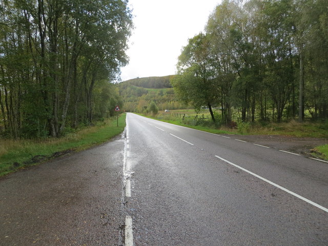
Achluachrach is a small village located in the county of Inverness-shire, Scotland. Situated in the Scottish Highlands, it lies in a picturesque valley surrounded by stunning natural landscapes. The village is part of the wider area known as Strathglass, which is renowned for its beauty and tranquility.

Achluachrach is situated around 20 miles west of Inverness, making it a popular destination for those seeking a peaceful retreat away from the bustling city life. The village itself is characterized by its charming traditional stone houses, giving it a quaint and rustic feel.

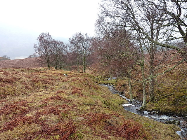
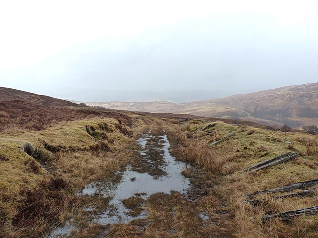
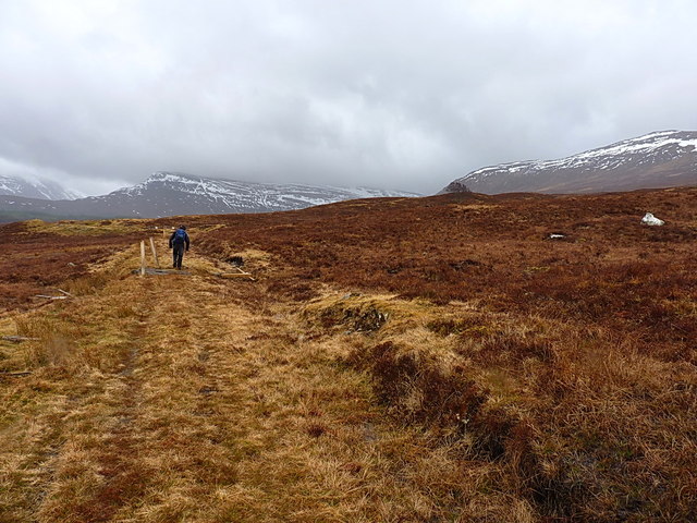
The area surrounding Achluachrach offers a wealth of outdoor activities for nature enthusiasts. The nearby Glen Affric, often referred to as the most beautiful glen in Scotland, is a haven for hikers and wildlife enthusiasts. Its ancient Caledonian pine forest and shimmering lochs make it an ideal location for exploring the great outdoors.

For history buffs, Achluachrach is also home to several historic sites. Nearby, there are ancient castles such as Urquhart Castle, which dates back to the 13th century and offers stunning views over Loch Ness.

Although Achluachrach is a small village, it is not lacking in amenities. There is a local pub and a small convenience store, providing essentials for both residents and visitors.

Overall, Achluachrach offers a unique opportunity to experience the beauty of the Scottish Highlands, with its breathtaking landscapes and rich history. Whether it's exploring the glens, immersing oneself in nature, or simply enjoying the peace and tranquility, Achluachrach has something to offer for everyone.

If you have any feedback on the listing, please let us know in the comments section below.
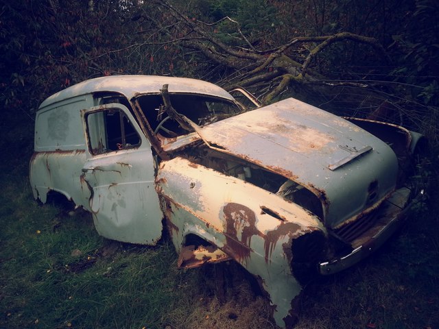
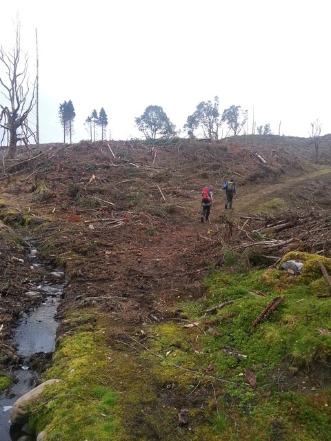
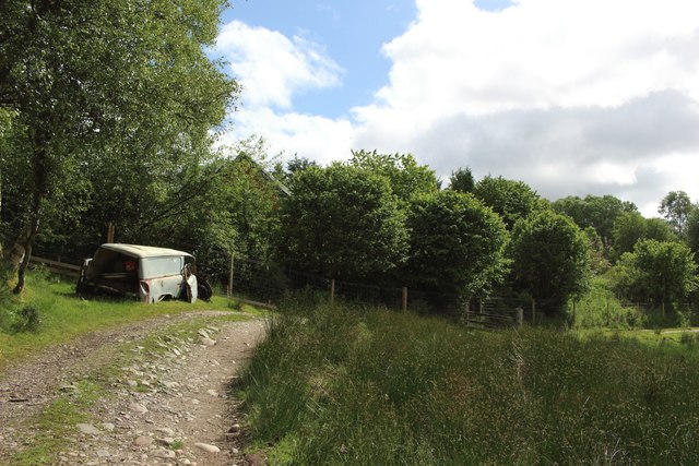
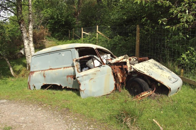
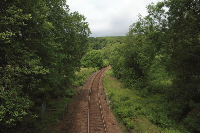
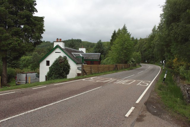
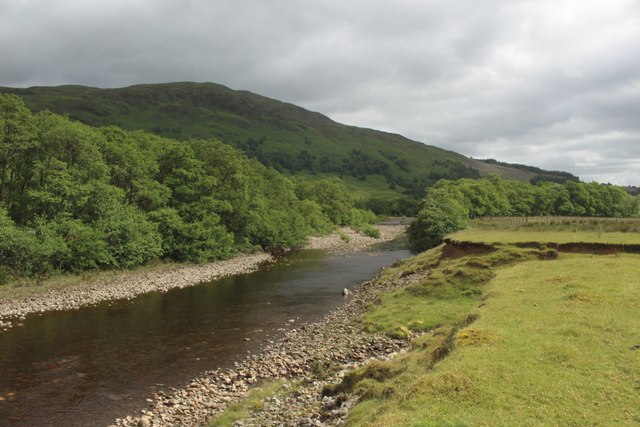
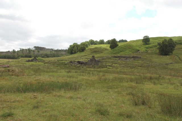
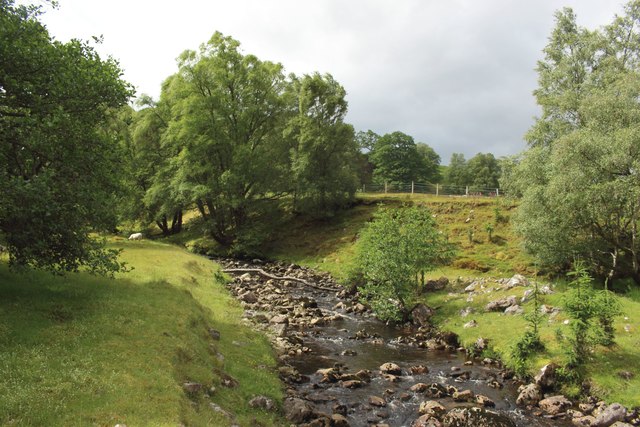
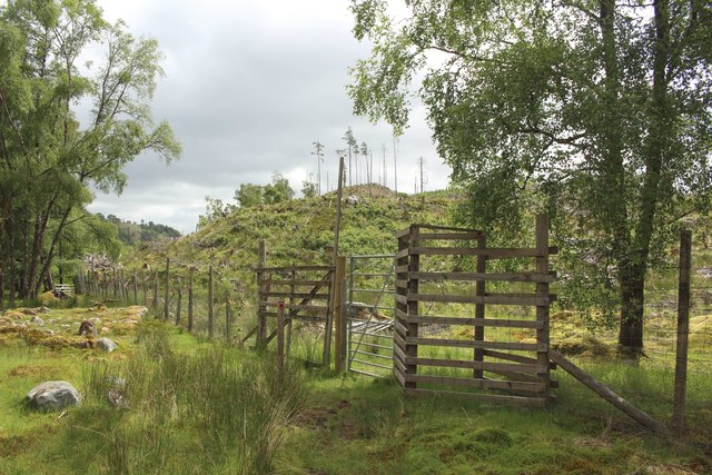
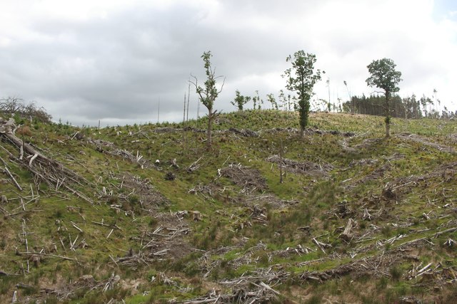
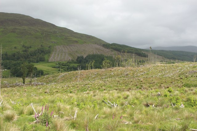
Achluachrach Images

Images are sourced within 2km of 56.889697/-4.79185 or Grid Reference NN3081. Thanks to Geograph Open Source API. All images are credited.

Rusting car on the path
After some forestry work in Braes o'Lochaber
Track near Achluachrach A stony track connecting the small farm at Monessie to the village at Achluachrach.
Track near Achluachrach
A stony track connecting the small farm at Monessie to the village at Achluachrach.
Retired van in a field corner This Austin Half-ton van, which has seen better days, is resting in the corner of a field beside the path between Monessie and Achluachrach.
Retired van in a field corner
This Austin Half-ton van, which has seen better days, is resting in the corner of a field beside the path between Monessie and Achluachrach.
The West Highland Line at Achluachrach The single track of the West Highland Line Railway on the southern edge of the hamlet of Achluachrach.
The West Highland Line at Achluachrach
The single track of the West Highland Line Railway on the southern edge of the hamlet of Achluachrach.
The A86 at Achluachrach The A86 road passing through the collection of disparate buildings which combine to form the hamlet of Achluachrach.
The A86 at Achluachrach
The A86 road passing through the collection of disparate buildings which combine to form the hamlet of Achluachrach.
River Spean west of Achnacochine Looking up the River Spean from its southern bank to the west of Achnacochine.
River Spean west of Achnacochine
Looking up the River Spean from its southern bank to the west of Achnacochine.
Ruins at Achnacochine Looking across some rough grassland towards the ruined former farm stead at Achnacochine.
Ruins at Achnacochine
Looking across some rough grassland towards the ruined former farm stead at Achnacochine.
Allt nam Bruach at Achnacochine The Allt nam Bruach close to its confluence with the River Spean east of Achnacochine.
Allt nam Bruach at Achnacochine
The Allt nam Bruach close to its confluence with the River Spean east of Achnacochine.
Gate in deer fence into forest A gate allows access through the boundary fence of the forest and onto a footpath which later connects with the main track through the plantation. The trees in this part of the forest have relatively recently been felled.
Gate in deer fence into forest
A gate allows access through the boundary fence of the forest and onto a footpath which later connects with the main track through the plantation. The trees in this part of the forest have relatively recently been felled.
Forest east of Achnacochine A clear felled area of forest to the east of the ruins of Achnacochine.
Forest east of Achnacochine
A clear felled area of forest to the east of the ruins of Achnacochine.
Forest, Coile Chaorainn Clear felled forest on the slopes of Coile Chaorainn above the River Spean.
Forest, Coile Chaorainn
Clear felled forest on the slopes of Coile Chaorainn above the River Spean.
Road (A86) near to Murlaggan Looking north-westward.
Road (A86) near to Murlaggan
Looking north-westward.
Ordnance Survey Flush Bracket G1056 This bracket can be found on the supporting wall of a railway bridge near to Murlaggan. The benchmark's recorded height is 147.282 metres above sea level.
For more detail see : <span class="nowrap"><a title="https://www.bench-marks.org.uk/bm12360" rel="nofollow ugc noopener" href="https://www.bench-marks.org.uk/bm12360">Link</a><img style="margin-left:2px;" alt="External link" title="External link - shift click to open in new window" src="https://s1.geograph.org.uk/img/external.png" width="10" height="10"/></span>
Ordnance Survey Flush Bracket G1056
This bracket can be found on the supporting wall of a railway bridge near to Murlaggan. The benchmark's recorded height is 147.282 metres above sea level. For more detail see : LinkExternal link
A very damp stretch of the Puggy Line Built to run a tramway for the construction of the Loch Treig dam, the line has now been dismantled and some of the bridges put beyond sensible use. The route is still used as an occasional path, and for agricultural access - despite RioTinto Alcan's signage suggesting that many of the stream crossings are unsafe.
A very damp stretch of the Puggy Line
Built to run a tramway for the construction of the Loch Treig dam, the line has now been dismantled and some of the bridges put beyond sensible use. The route is still used as an occasional path, and for agricultural access - despite RioTinto Alcan's signage suggesting that many of the stream crossings are unsafe.
The Caochan Daraich A lightly wooded burn flowing down from the flank of Beinn Chlianaig.
The Caochan Daraich
A lightly wooded burn flowing down from the flank of Beinn Chlianaig.
Another damp stretch of the Puggy Line The Puggy Line is the name given to the former tramway that was constructed between Fort William and the dam of Loch Trieg, to assist the building of the dam for the reservoir that supplies power to the Fort William aluminium smelting works. The tramway itself is long disused, the track's mostly been removed, and some of the bridges have been put beyond sensible use. That said, the line of the route is still very evident on the ground, and (on a dry day) makes a rather pleasant walk above Glen Spean.
Another damp stretch of the Puggy Line
The Puggy Line is the name given to the former tramway that was constructed between Fort William and the dam of Loch Trieg, to assist the building of the dam for the reservoir that supplies power to the Fort William aluminium smelting works. The tramway itself is long disused, the track's mostly been removed, and some of the bridges have been put beyond sensible use. That said, the line of the route is still very evident on the ground, and (on a dry day) makes a rather pleasant walk above Glen Spean.
Heading south on the Puggy Line Walking south on the disused tramway, towards the general direction of the hills west of Loch Trieg.
Heading south on the Puggy Line
Walking south on the disused tramway, towards the general direction of the hills west of Loch Trieg.
Show me another place!

Achluachrach is located at Grid Ref: NN3081 (Lat: 56.889697, Lng: -4.79185)

Unitary Authority: Highland

Police Authority: Highlands and Islands

What 3 Words

///revisit.written.masses. Near Gairlochy, Highland

Related Wikis

Achluachrach

Achluachrach (Gaelic: Ach Luachrach) is a small settlement in Glen Spean in Lochaber, in the Highland council area of Scotland. It is located on the A86...
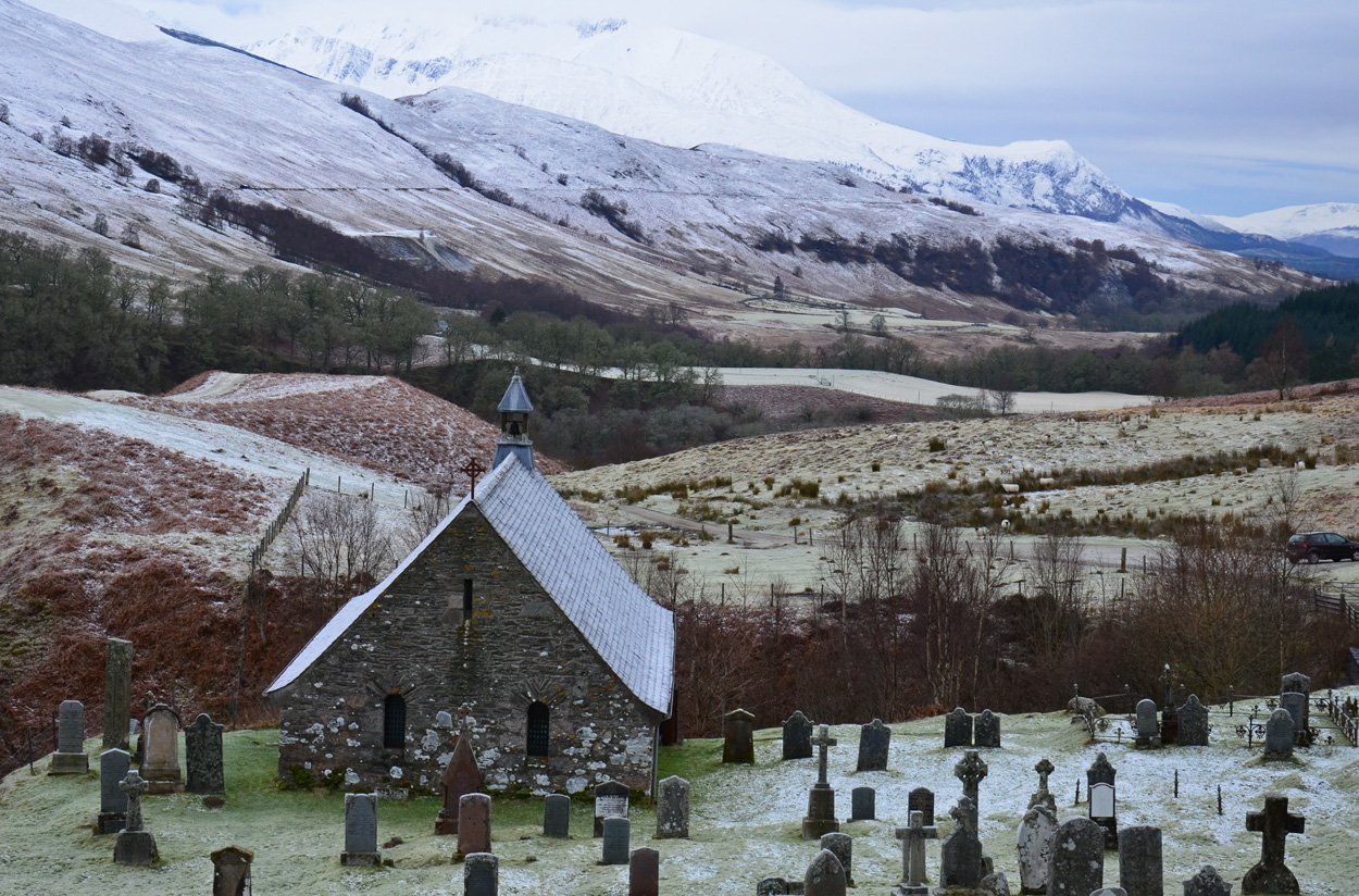
Cille Choirill

Cille Choirill is a 15th-century Roman Catholic church situated in Glen Spean in Lochaber, Scotland. Dedicated to St Kerrill, (also called "Cyril"), it...

Bohuntine

Bohuntine (Scottish Gaelic: Both Fhionndain) is a settlement located close to Roybridge, in Lochaber, within the Scottish Highlands, and is in the Highland...

Creag Dhubh (Roybridge)

Creag Dhubh (658 m) is a hill in the Grampian Mountains of Scotland. It is located in the Lochaber region, east of Roybridge. A rounded hill, Creag Dhubh...

Nearby Amenities

Located within 500m of 56.889697,-4.79185
Achluachrach
Place: hamlet
Wikidata: Q4673821
Wikipedia: en:Achluachrach
Lat/Long: 56.8893795/-4.7903293
Restaurant
Nevis View
Lat/Long: 56.8904581/-4.7951611
Entrance: main
Lat/Long: 56.8904225/-4.7950633
Material: wood
Power: pole
Lat/Long: 56.8895077/-4.7995407
Material: wood
Power: pole
Lat/Long: 56.8900658/-4.7985812
Material: wood
Power: pole
Lat/Long: 56.8905394/-4.7977545
Power: pole
Lat/Long: 56.8910314/-4.7968067
Power: pole
Lat/Long: 56.8914086/-4.7955649
Power: pole
Lat/Long: 56.8917078/-4.7944693
Power: pole
Lat/Long: 56.8912957/-4.7926109
Power: pole
Lat/Long: 56.8906771/-4.7911002
Power: pole
Lat/Long: 56.8912351/-4.7926579
Power: pole
Lat/Long: 56.890823/-4.7928024
Power: pole
Lat/Long: 56.8903411/-4.7902836
Power: pole
Lat/Long: 56.8900621/-4.7888452
Power: pole
Lat/Long: 56.8897555/-4.7873849
Power: pole
Lat/Long: 56.8894957/-4.786086
Material: wood
Power: pole
Lat/Long: 56.8892204/-4.7847081
Material: wood
Power: pole
Lat/Long: 56.8894627/-4.7838444
Ford: yes
Lat/Long: 56.8875762/-4.7909798
Eilean Achluachrach
Tourism: attraction
Lat/Long: 56.8874107/-4.7927856
Braes o'Lochaber
Tourism: attraction
Lat/Long: 56.8884627/-4.7906989
Ath Ghobhlach
Tourism: attraction
Lat/Long: 56.8873301/-4.7908571
Eilean Monessie
Tourism: attraction
Lat/Long: 56.8883396/-4.7928822
Monessie Gorge
Tourism: attraction
Lat/Long: 56.88767/-4.7990352
Power: pole
Lat/Long: 56.8892587/-4.789687
Power: pole
Lat/Long: 56.8894895/-4.7891848
Power: pole
Lat/Long: 56.889055/-4.7901215
Power: pole
Lat/Long: 56.8883775/-4.7902841
Power: pole
Lat/Long: 56.8875784/-4.7904816
Power: pole
Lat/Long: 56.8870388/-4.7906604
Power: pole
Lat/Long: 56.8868346/-4.7913356
Power: pole
Lat/Long: 56.8862355/-4.7926884
Power: pole
Lat/Long: 56.8860033/-4.7933786
Power: pole
Lat/Long: 56.8857704/-4.7940437
The data included in this document is from www.openstreetmap.org. The data is made available under ODbL.

Have you been to Achluachrach?

Leave your review of Achluachrach below (or comments, questions and feedback).