Achleck
Settlement in Argyllshire
Scotland
Achleck

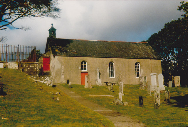
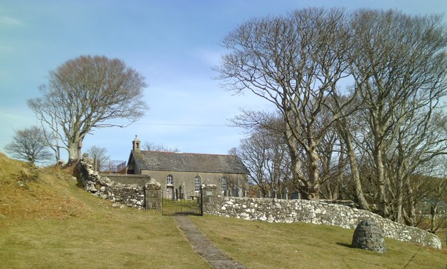
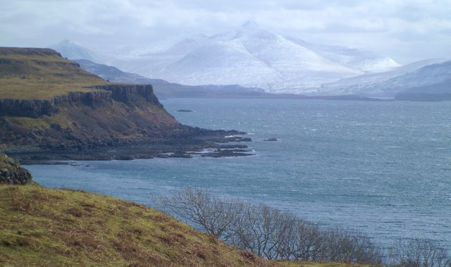
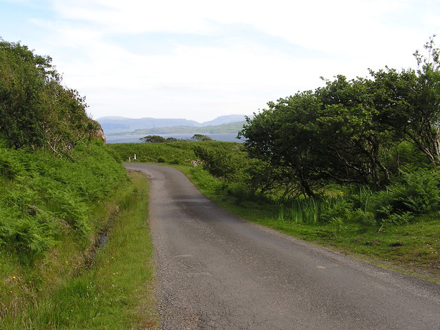
Achleck is a small village located in Argyllshire, a historic county in the western part of Scotland. Situated amidst picturesque landscapes, Achleck offers visitors a tranquil and charming experience. The village is nestled in the heart of the Argyll Forest Park, surrounded by lush greenery, rolling hills, and the peaceful waters of Loch Fyne.
Achleck is known for its natural beauty and is a popular destination for outdoor enthusiasts. Hiking and walking trails meander through the surrounding forests, providing breathtaking views of the surrounding countryside. The nearby loch also offers opportunities for fishing, boating, and kayaking.
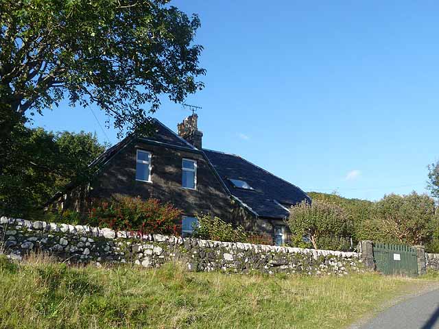
The village itself is home to a small population, with traditional stone cottages dotting the landscape. The community is close-knit and welcoming, often hosting events and celebrations to bring residents and visitors together. The local pub, The Highland Arms, is a popular gathering spot, serving up traditional Scottish cuisine and a wide selection of whiskies.
For those interested in history, Achleck is within close proximity to several notable landmarks. The stunning Inveraray Castle, the ancestral home of the Duke of Argyll, is just a short drive away. Additionally, the nearby village of Inveraray offers a variety of shops, cafes, and a fascinating jail museum.
Overall, Achleck is a peaceful and idyllic village that offers a retreat from the hustle and bustle of modern life. Whether exploring the natural surroundings, immersing oneself in the local culture, or simply enjoying the tranquility, Achleck is a destination that captivates and enchants visitors.
If you have any feedback on the listing, please let us know in the comments section below.
Achleck Images
Images are sourced within 2km of 56.525458/-6.21305 or Grid Reference NM4145. Thanks to Geograph Open Source API. All images are credited.


Achleck is located at Grid Ref: NM4145 (Lat: 56.525458, Lng: -6.21305)
Unitary Authority: Argyll and Bute
Police Authority: Argyll and West Dunbartonshire
What 3 Words
///workflow.sweeter.flicks. Near Dervaig, Argyll & Bute
Nearby Locations
Related Wikis

Achleck
Achleck is a small settlement in the north-west of the Isle of Mull in Argyll and Bute, Scotland. == References ==
Torloisk House
Torloisk House (sometimes referred to as Torluck House in 19th century references) on the Isle of Mull, Argyll in Scotland was the family seat held by...

Loch Tuath
Loch Tuath (Scottish Gaelic: Loch-a-Tuath) is a sea loch in the Inner Hebrides, Scotland that separates the Isle of Mull and the island of Ulva. Loch Tuath...
Eas Fors
Eas Fors is a waterfall on the island of Mull in Scotland. It is situated on the Ardow Burn south of Dervaig. There is another Eas Fors on the Allt an...

Ulva
Ulva (; Scottish Gaelic: Ulbha) is a small island in the Inner Hebrides of Scotland, off the west coast of Mull. It is separated from Mull by a narrow...
Gometra
Gometra (Scottish Gaelic: Gòmastra) is an island in the Inner Hebrides of Scotland, lying west of Mull. It lies immediately west of Ulva, to which it is...

Ulva Ferry
Ulva Ferry (Scottish Gaelic: Caolas Ulbha) is a hamlet on the Hebridean island of Mull, on its west coast. Ulva Ferry is on the shore of Ulva Sound (Caolas...

Calgary Castle
Calgary Castle, also known as Calgary House, is a 19th-century castellated Gothic mansion at Calgary on the Isle of Mull, Scotland. The mansion faces Calgary...
Nearby Amenities
Located within 500m of 56.525458,-6.21305Have you been to Achleck?
Leave your review of Achleck below (or comments, questions and feedback).