Cross Stobbs

Settlement in Renfrewshire

Scotland

Cross Stobbs

Dry-stone wall and fence The space between the wall and fence is more worn than the surrounding moorland because, as shown on the map, the route between them is part of a footpath. For a good summary of that path, see <a href="https://www.geograph.org.uk/photo/369064">NS4859 : Paisley - Brownside Braes - Harelaw  Reservoir</a>.

The same fence and wall are shown in <a href="https://www.geograph.org.uk/photo/2308667">NS4860 : Dry-stone wall and fence</a>, which was taken at a point about 270 metres further along the same path.
Dry-stone wall and fence Credit: Lairich Rig

Cross Stobbs is a small village located in the historic county of Renfrewshire, Scotland. Situated approximately 10 miles west of Glasgow, it lies near the larger towns of Johnstone and Elderslie. The village is predominantly residential and is surrounded by lush countryside, offering its residents a serene and picturesque setting.

The name "Cross Stobbs" refers to the presence of a stone cross that historically marked the area. Although the original cross no longer stands, the village cherishes its historical significance. The community has a strong sense of identity and takes pride in its heritage.

The village features a range of amenities, including a local shop, a primary school, and a community center. These facilities contribute to the close-knit nature of the community, fostering a sense of camaraderie among its residents. The village also benefits from excellent transport links, with regular bus services connecting it to nearby towns and cities.

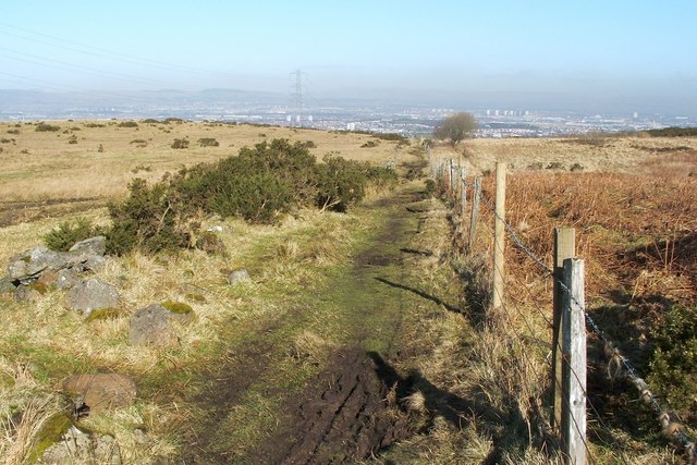
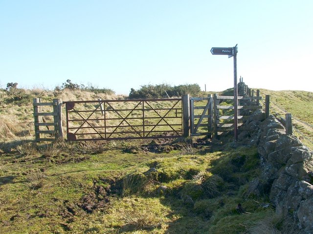
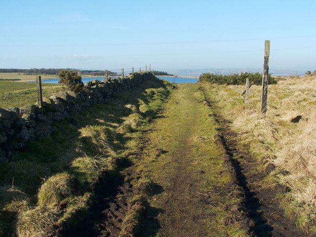
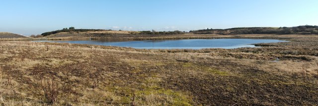
Outdoor enthusiasts can enjoy the beautiful surroundings, taking advantage of scenic walking routes and nearby parks. The village is also within close proximity to the Clyde Muirshiel Regional Park, providing ample opportunities for outdoor activities such as hiking, cycling, and birdwatching.

Overall, Cross Stobbs offers a peaceful and welcoming environment, making it an appealing place to live for those seeking a balance between rural living and easy access to urban amenities.

If you have any feedback on the listing, please let us know in the comments section below.
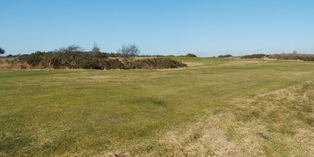
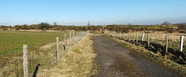
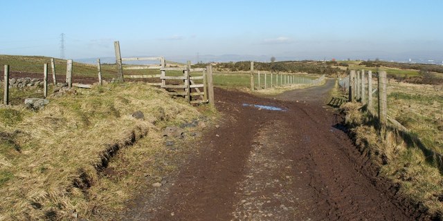
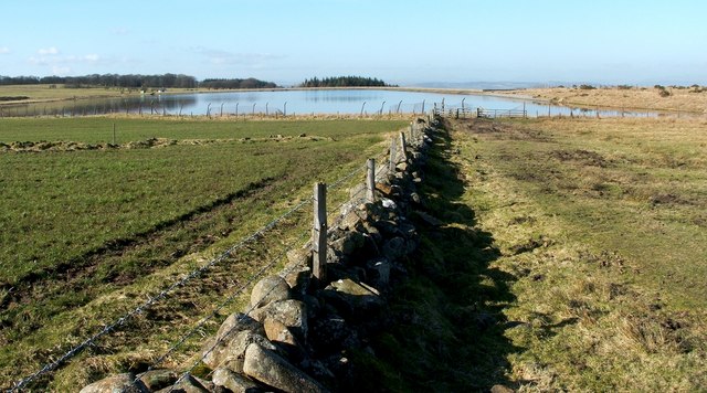
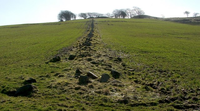
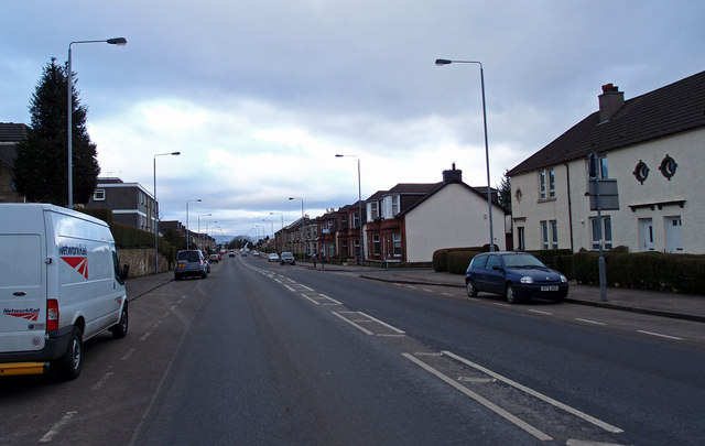
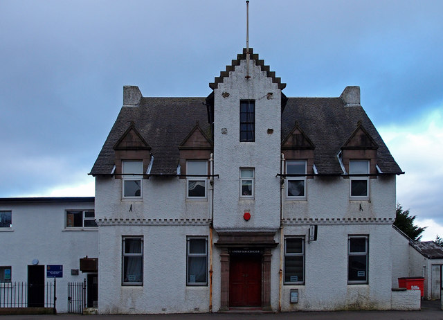
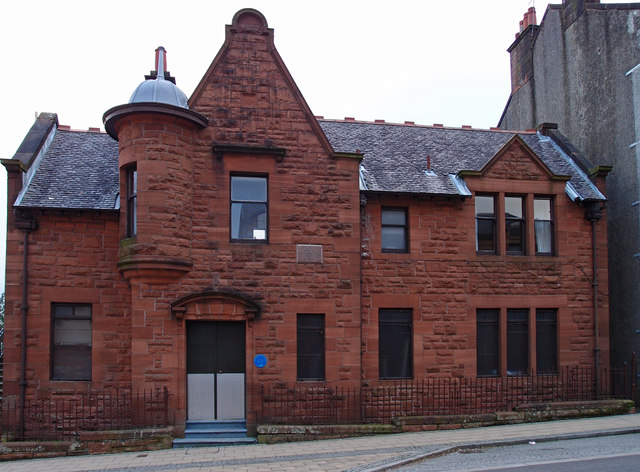
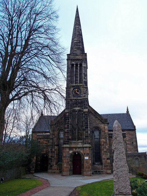
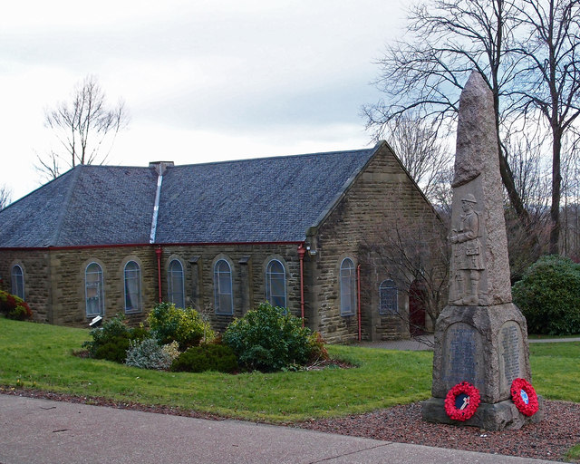
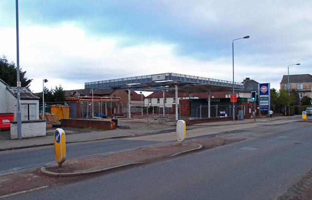
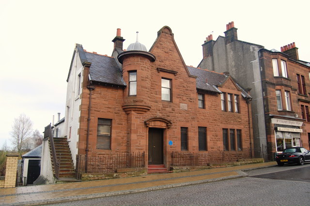
Cross Stobbs Images

Images are sourced within 2km of 55.81149/-4.3996106 or Grid Reference NS4960. Thanks to Geograph Open Source API. All images are credited.

Dry-stone wall and fence The space between the wall and fence is more worn than the surrounding moorland because, as shown on the map, the route between them is part of a footpath. For a good summary of that path, see <a href="https://www.geograph.org.uk/photo/369064">NS4859 : Paisley - Brownside Braes - Harelaw  Reservoir</a>.

The same fence and wall are shown in <a href="https://www.geograph.org.uk/photo/2308667">NS4860 : Dry-stone wall and fence</a>, which was taken at a point about 270 metres further along the same path.
Dry-stone wall and fence
The space between the wall and fence is more worn than the surrounding moorland because, as shown on the map, the route between them is part of a footpath. For a good summary of that path, see NS4859 : Paisley - Brownside Braes - Harelaw Reservoir. The same fence and wall are shown in NS4860 : Dry-stone wall and fence, which was taken at a point about 270 metres further along the same path.
Signpost at footpath junction The signpost is located at a three-way junction of paths.

The sign pointing to the left says "Paisley", and points along the route shown in <a href="https://www.geograph.org.uk/photo/2308698">NS4859 : Dry-stone wall and fence</a> and <a href="https://www.geograph.org.uk/photo/2308667">NS4860 : Dry-stone wall and fence</a>.

Another, pointing towards the photographer's position, reads "Killoch Glen via Glenburn Resr"; for that route, see <a href="https://www.geograph.org.uk/photo/2309088">NS4859 : Path to Glenburn Reservoir</a>.

The third, pointing in the opposite direction, reads "Barrhead / Killoch Glen via Harelaw Resr"; for a view back along that route, see <a href="https://www.geograph.org.uk/photo/2309100">NS4859 : Path from Killoch Glen</a>.
Signpost at footpath junction
The signpost is located at a three-way junction of paths. The sign pointing to the left says "Paisley", and points along the route shown in NS4859 : Dry-stone wall and fence and NS4860 : Dry-stone wall and fence. Another, pointing towards the photographer's position, reads "Killoch Glen via Glenburn Resr"; for that route, see NS4859 : Path to Glenburn Reservoir. The third, pointing in the opposite direction, reads "Barrhead / Killoch Glen via Harelaw Resr"; for a view back along that route, see NS4859 : Path from Killoch Glen.
Path to Glenburn Reservoir This photograph, which was taken from beside the signpost that is shown in <a href="https://www.geograph.org.uk/photo/2309070">NS4859 : Signpost at footpath junction</a>, shows one of the three paths that is indicated there. <a href="https://www.geograph.org.uk/photo/2308500">NS4760 : Glenburn Reservoir</a> is visible about 240 metres ahead.

For a view from a point a little further along the path, see <a href="https://www.geograph.org.uk/photo/2310062">NS4759 : Path to Glenburn Reservoir</a>.
Path to Glenburn Reservoir
This photograph, which was taken from beside the signpost that is shown in NS4859 : Signpost at footpath junction, shows one of the three paths that is indicated there. NS4760 : Glenburn Reservoir is visible about 240 metres ahead. For a view from a point a little further along the path, see NS4759 : Path to Glenburn Reservoir.
Path from Killoch Glen For the previous part of the route, see <a href="https://www.geograph.org.uk/photo/2310031">NS4859 : Path from Killoch Glen</a>. That path makes a sharp turn near <a href="https://www.geograph.org.uk/photo/2309150">NS4859 : Harelaw Reservoir</a>. The present photograph shows the part of the route beyond that corner; it leads towards the signpost that is shown in <a href="https://www.geograph.org.uk/photo/2309070">NS4859 : Signpost at footpath junction</a>.

The top of that signpost is just visible in this photograph; it can be seen straight ahead on the path, with <a href="https://www.geograph.org.uk/photo/2308500">NS4760 : Glenburn Reservoir</a> visible behind it.
Path from Killoch Glen
For the previous part of the route, see NS4859 : Path from Killoch Glen. That path makes a sharp turn near NS4859 : Harelaw Reservoir. The present photograph shows the part of the route beyond that corner; it leads towards the signpost that is shown in NS4859 : Signpost at footpath junction. The top of that signpost is just visible in this photograph; it can be seen straight ahead on the path, with NS4760 : Glenburn Reservoir visible behind it.
Harelaw Reservoir Unlike nearby <a href="https://www.geograph.org.uk/photo/2308500">NS4760 : Glenburn Reservoir</a>, Harelaw Reservoir appears on the first-edition OS map, which was surveyed in 1858.

The water level has been lowered considerably in recent years. Relative to the OS map that was current when this picture was taken, the photographer's position would be in the water of the reservoir, although not very far from the edge. The changes being made here are part of a Local Biodiversity Action Plan; this body of water will be de-classified as a reservoir.

For other pictures, see <a href="https://www.geograph.org.uk/photo/369064">NS4859 : Paisley - Brownside Braes - Harelaw  Reservoir</a>, <a href="https://www.geograph.org.uk/photo/441217">NS4859 : Harelaw Reservoir</a>, and <a href="https://www.geograph.org.uk/photo/441118">NS4859 : Grazing on Fereneze Hills and Harelaw Reservoir</a>.
Harelaw Reservoir
Unlike nearby NS4760 : Glenburn Reservoir, Harelaw Reservoir appears on the first-edition OS map, which was surveyed in 1858. The water level has been lowered considerably in recent years. Relative to the OS map that was current when this picture was taken, the photographer's position would be in the water of the reservoir, although not very far from the edge. The changes being made here are part of a Local Biodiversity Action Plan; this body of water will be de-classified as a reservoir. For other pictures, see NS4859 : Paisley - Brownside Braes - Harelaw Reservoir, NS4859 : Harelaw Reservoir, and NS4859 : Grazing on Fereneze Hills and Harelaw Reservoir.
Fereneze Golf Course This is part of the course of Fereneze Golf Club. The picture was taken from near what used to be the edge of <a href="https://www.geograph.org.uk/photo/2309150">NS4859 : Harelaw Reservoir</a>.

See also <a href="https://www.geograph.org.uk/photo/369064">NS4859 : Paisley - Brownside Braes - Harelaw  Reservoir</a>.
Fereneze Golf Course
This is part of the course of Fereneze Golf Club. The picture was taken from near what used to be the edge of NS4859 : Harelaw Reservoir. See also NS4859 : Paisley - Brownside Braes - Harelaw Reservoir.
Path from Killoch Glen For the previous part of the route, see <a href="https://www.geograph.org.uk/photo/2310037">NS4859 : Path from Killoch Glen</a>.

The present photograph was taken from about 100 metres further along the path. About 50 metres ahead, the route turns sharply to the left; the section beyond that corner is shown in <a href="https://www.geograph.org.uk/photo/2309100">NS4859 : Path from Killoch Glen</a>.
Path from Killoch Glen
For the previous part of the route, see NS4859 : Path from Killoch Glen. The present photograph was taken from about 100 metres further along the path. About 50 metres ahead, the route turns sharply to the left; the section beyond that corner is shown in NS4859 : Path from Killoch Glen.
Path from Killoch Glen The footpath continues straight ahead; the gate on the left leads into a field instead.

For a view from a point further along this path, see <a href="https://www.geograph.org.uk/photo/2310031">NS4859 : Path from Killoch Glen</a>. Visible in the background, on the right, is part of a <a href="https://www.geograph.org.uk/photo/2310006">NS4859 : Fereneze Golf Course</a>.
Path from Killoch Glen
The footpath continues straight ahead; the gate on the left leads into a field instead. For a view from a point further along this path, see NS4859 : Path from Killoch Glen. Visible in the background, on the right, is part of a NS4859 : Fereneze Golf Course.
Path to Glenburn Reservoir This is a view from a point further along the path that is shown in <a href="https://www.geograph.org.uk/photo/2309088">NS4859 : Path to Glenburn Reservoir</a>; <a href="https://www.geograph.org.uk/photo/2308500">NS4760 : Glenburn Reservoir</a> is visible ahead. Not far ahead, the wall and fence whose line the present photograph follows is met from the left by an old field boundary; see <a href="https://www.geograph.org.uk/photo/2310077">NS4759 : View along old field boundary</a>.

Still further ahead is <a href="https://www.geograph.org.uk/photo/5423845">NS4760 : The start of a path beside the Glenburn Reservoir</a>.
Path to Glenburn Reservoir
This is a view from a point further along the path that is shown in NS4859 : Path to Glenburn Reservoir; NS4760 : Glenburn Reservoir is visible ahead. Not far ahead, the wall and fence whose line the present photograph follows is met from the left by an old field boundary; see NS4759 : View along old field boundary. Still further ahead is NS4760 : The start of a path beside the Glenburn Reservoir.
View along old field boundary This boundary is in the form of a dry-stone dyke, which is now in poor condition. It is marked on the first-edition OS map, which was surveyed in 1858, and it may be considerably older than that.

See <a href="https://www.geograph.org.uk/photo/2310062">NS4759 : Path to Glenburn Reservoir</a>, where the line of the boundary can be seen not far ahead, approaching the more recent wall from the left. The present photograph was taken from the point where the two meet.

Even in this photograph, it is clear that at the top of the hill, among the trees, there are some ruins; one section lies directly beyond the far end of the field boundary, and a smaller section to the left. These are the remains of the farmstead of Duchallaw, which is shown on the first-edition OS map.
View along old field boundary
This boundary is in the form of a dry-stone dyke, which is now in poor condition. It is marked on the first-edition OS map, which was surveyed in 1858, and it may be considerably older than that. See NS4759 : Path to Glenburn Reservoir, where the line of the boundary can be seen not far ahead, approaching the more recent wall from the left. The present photograph was taken from the point where the two meet. Even in this photograph, it is clear that at the top of the hill, among the trees, there are some ruins; one section lies directly beyond the far end of the field boundary, and a smaller section to the left. These are the remains of the farmstead of Duchallaw, which is shown on the first-edition OS map.
B771, Paisley Road Dunterlie area of Barrhead.
B771, Paisley Road
Dunterlie area of Barrhead.
United Services Club Building Paisley Road, Dunterlie
United Services Club Building
Paisley Road, Dunterlie
Masonic Lodge, Barrhead Sits on Cochrane Street. Upper floor looks to be residential.
Masonic Lodge, Barrhead
Sits on Cochrane Street. Upper floor looks to be residential.
Bourock Parish Church, Barrhead War Memorial stands in front of church.
Bourock Parish Church, Barrhead
War Memorial stands in front of church.
Bourock Parish Church Hall, Barrhead War Memorial stands in front of church.
Bourock Parish Church Hall, Barrhead
War Memorial stands in front of church.
Disused Petrol Station B771, Paisley Road, Dunterlie area of Barrhead.
Disused Petrol Station
B771, Paisley Road, Dunterlie area of Barrhead.
Bourock Parish Church, Barrhead Church of Scotland <span class="nowrap"><a title="http://www.portaltothepast.co.uk/heritage/heritage_building/heritage_churches/heritage-churches-barrhead.htm" rel="nofollow ugc noopener" href="http://www.portaltothepast.co.uk/heritage/heritage_building/heritage_churches/heritage-churches-barrhead.htm">Link</a><img style="margin-left:2px;" alt="External link" title="External link - shift click to open in new window" src="https://s1.geograph.org.uk/img/external.png" width="10" height="10"/></span>
Bourock Parish Church, Barrhead
Church of Scotland LinkExternal link
Masonic Lodge, Barrhead. Lodge Union & Crown No.307 & Lodge Randolph No.1434, Barrhead.
Masonic Lodge, Barrhead.
Lodge Union & Crown No.307 & Lodge Randolph No.1434, Barrhead.
Show me another place!

Cross Stobbs is located at Grid Ref: NS4960 (Lat: 55.81149, Lng: -4.3996106)

Unitary Authority: Renfrewshire

Police Authority: Renfrewshire and Inverclyde

What 3 Words

///first.boat.actor. Near Barrhead, East Renfrewshire

Nearby Locations

Harelaw Mount Cross Stobbs

Related Wikis

Dunterlie Park (1906–1919)

Dunterlie Park was a football ground in Barrhead, Scotland. It was the home ground of Arthurlie between 1906 and 1919, and was the second of three grounds...

Barrhead railway station

Barrhead railway station is a railway station in the town of Barrhead, East Renfrewshire, Greater Glasgow, Scotland. The station is managed by ScotRail...

Dunterlie Park

Dunterlie Park is a football ground in Barrhead, Scotland. The third stadium to bear the name, it is the home ground of Arthurlie. == History == Arthurlie...

Barrhead Central railway station

Barrhead Central railway station was a railway station serving the town of Barrhead, Renfrewshire, Scotland. The station was on the Glasgow and South...

Nearby Amenities

Located within 500m of 55.81149,-4.3996106
Bus Stop
Bus: yes
Public Transport: platform
Lat/Long: 55.8139438/-4.405419
Bus Stop
Bus: yes
Public Transport: platform
Lat/Long: 55.8121266/-4.4028181
Bus Stop
Bus: yes
Public Transport: platform
Lat/Long: 55.8108465/-4.4004694
Bus Stop
Bus: yes
Public Transport: platform
Shelter: no
Lat/Long: 55.8086114/-4.3996215
Bus Stop
Bus: yes
Public Transport: platform
Shelter: yes
Lat/Long: 55.8073768/-4.3992512
Pub
Cross Stobs Inn
Addr Housenumber: 4
Addr Postcode: G78 1NS
Addr Street: Grahamston Road
Fhrs Id: 941745
Source Addr: FHRS Open Data
Lat/Long: 55.810904/-4.4001957
Cross Stobs Bottle Shop
Shop: alcohol
Lat/Long: 55.8109775/-4.4001693
Blackbyres Junction
Railway: junction
Lat/Long: 55.8118497/-4.3920005
Boylestone
Place: suburb
Lat/Long: 55.8096456/-4.4029367
Cross Stobbs
Place: suburb
Lat/Long: 55.8100672/-4.3973255
Generator Method: photovoltaic
Generator Output Electricity: yes
Generator Source: solar
Generator Type: solar_photovoltaic_panel
Power: generator
Lat/Long: 55.812882/-4.4066451
Power: pole
Lat/Long: 55.8152952/-4.3997359
Power: pole
Lat/Long: 55.8158405/-4.3990285
Power: pole
Lat/Long: 55.8157303/-4.3981791
Defibrillator
Defibrillator Location: On outside wall of Barrhead Fire Station.
Emergency: defibrillator
Ref GB The Circuit: 0914217E-29C5-424C-B3FC-AEEB014D7335
Lat/Long: 55.8129504/-4.3970731
The data included in this document is from www.openstreetmap.org. The data is made available under ODbL.

Have you been to Cross Stobbs?

Leave your review of Cross Stobbs below (or comments, questions and feedback).