Cross Roads
Settlement in Yorkshire
England
Cross Roads
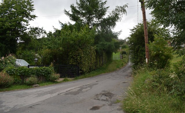
Cross Roads is a small village located in the county of Yorkshire, England. Situated in the heart of the picturesque countryside, it is surrounded by rolling hills and lush green fields, making it a popular destination for nature lovers and outdoor enthusiasts.
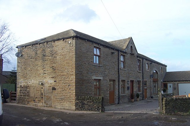
The village itself is characterized by its charming and quaint atmosphere, with a mix of traditional stone houses and modern developments. It is home to a close-knit community that takes pride in its local heritage and traditions.
One of the main attractions in Cross Roads is its proximity to the beautiful Brontë Country, which is just a short drive away. Visitors can explore the landscapes that inspired the famous Brontë sisters, who wrote their renowned novels in this area.
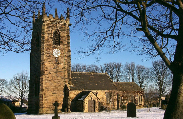
Cross Roads also offers a range of amenities and services to cater to both residents and tourists. There are several shops, cafes, and restaurants, providing options for shopping and dining. The village has a primary school, a church, and various recreational facilities, including parks and sports fields.
For those seeking outdoor activities, the surrounding countryside offers numerous hiking and cycling trails, providing opportunities to explore the stunning scenery and enjoy the fresh air. Additionally, there are several golf courses and fishing spots nearby for enthusiasts to indulge in their favorite pastimes.
Overall, Cross Roads is a charming village in Yorkshire that offers a peaceful and idyllic retreat from the hustle and bustle of city life. With its natural beauty, friendly community, and convenient amenities, it is a hidden gem waiting to be discovered.
If you have any feedback on the listing, please let us know in the comments section below.
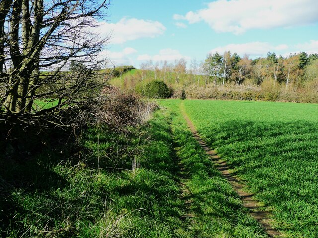
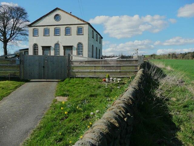
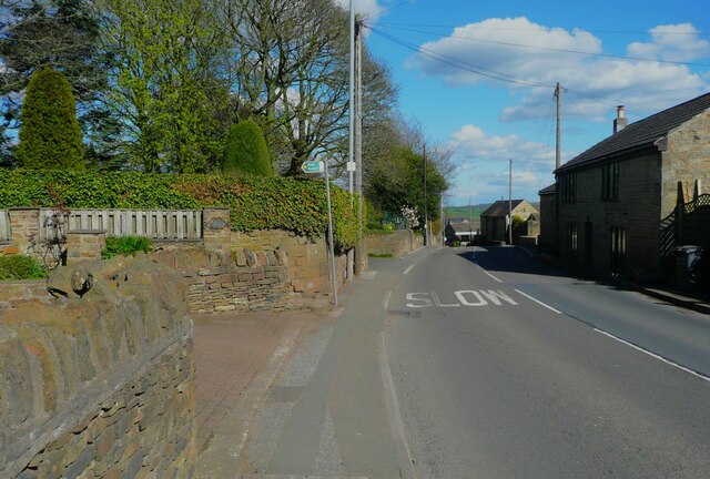
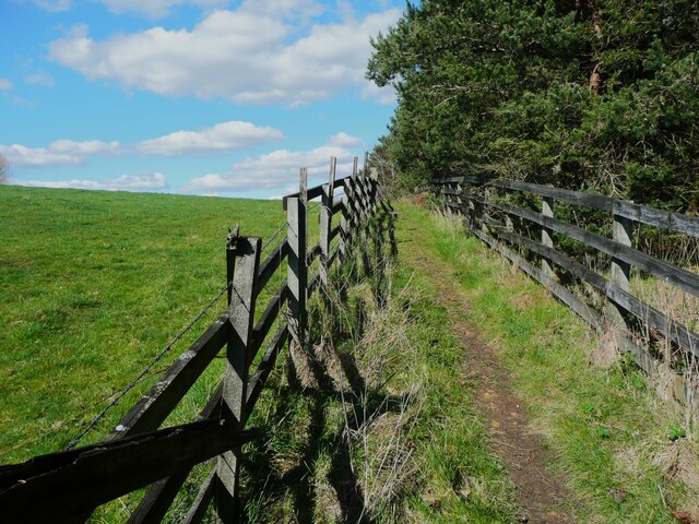
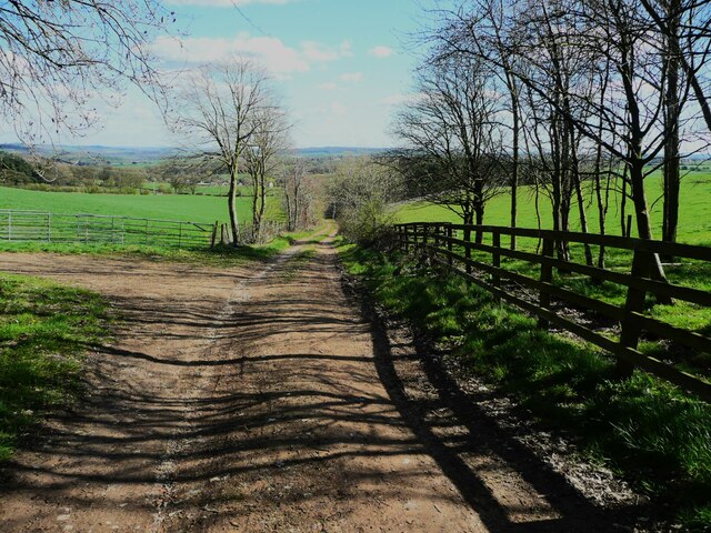
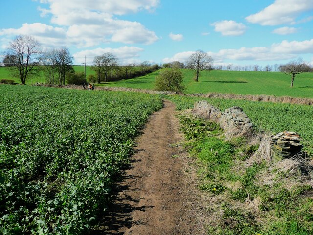
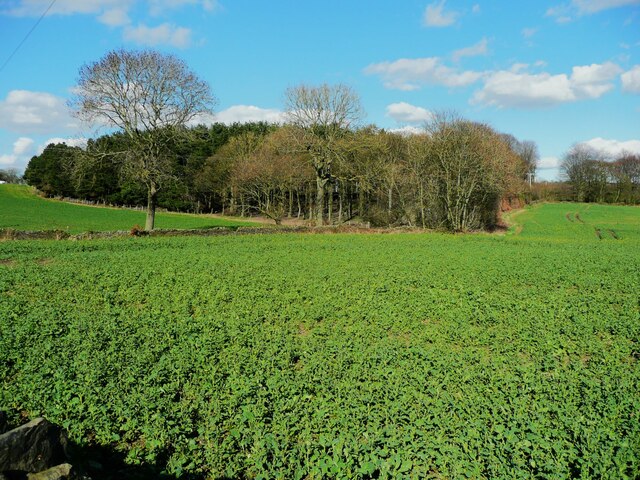
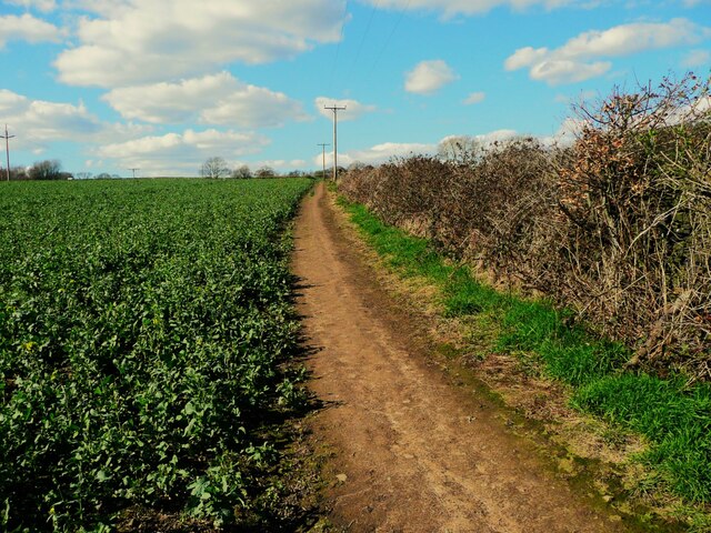
Cross Roads Images
Images are sourced within 2km of 53.618249/-1.6612301 or Grid Reference SE2213. Thanks to Geograph Open Source API. All images are credited.

Cross Roads is located at Grid Ref: SE2213 (Lat: 53.618249, Lng: -1.6612301)
Division: West Riding
Unitary Authority: Kirklees
Police Authority: West Yorkshire
What 3 Words
///pirate.elbow.currently. Near Flockton, West Yorkshire
Nearby Locations
Related Wikis

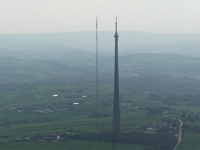
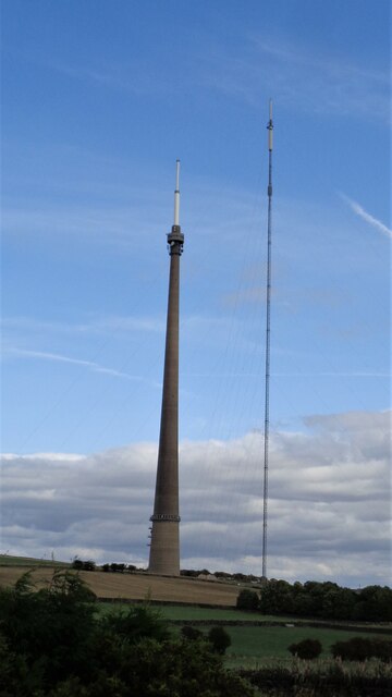
Emley Moor transmitting station
The Emley Moor transmitting station is a telecommunications and broadcasting facility on Emley Moor, 1 mile (1.6 km) west of the village centre of Emley...

Roydhouse
Roydhouse is a hamlet in the civil parish of Kirkburton, in Kirklees, West Yorkshire, England. Roydhouse was recorded as "le Roides". It has a public house...
Thorncliffe, West Yorkshire
Thorncliffe (also marked on some maps as Thorncliff) is a hamlet in the civil parish of Kirkburton, in the Kirklees district, in the county of West Yorkshire...
Emley
Emley is a village in the parish of Denby Dale, in the Kirklees district of West Yorkshire, England. It is between Huddersfield and Wakefield. In 2011...
Nearby Amenities
Located within 500m of 53.618249,-1.6612301Have you been to Cross Roads?
Leave your review of Cross Roads below (or comments, questions and feedback).