Moor Head Plantation
Wood, Forest in Yorkshire
England
Moor Head Plantation
Moor Head Plantation is a picturesque woodland located in Yorkshire, England. Nestled amidst the rolling hills and lush landscape of the region, this plantation offers visitors a serene and tranquil escape from the hustle and bustle of everyday life.
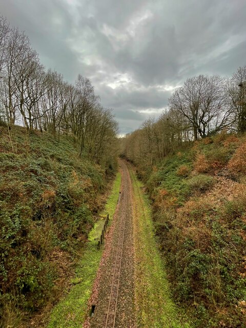
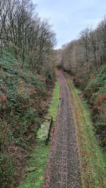
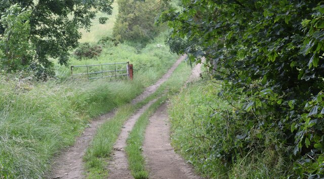
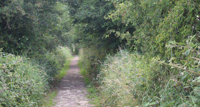
Covering an area of approximately 100 acres, Moor Head Plantation is characterized by its dense forest of predominantly oak and birch trees. These towering giants provide a canopy of shade, creating a cool and refreshing atmosphere even during the hot summer months. The woodland floor is carpeted with a variety of wildflowers, adding bursts of color to the landscape.
The plantation is a haven for wildlife enthusiasts, as it is home to a diverse range of animal species. Deer can often be spotted grazing amongst the trees, while squirrels and rabbits scurry through the undergrowth. Birdwatchers will delight in the numerous species that frequent the area, including woodpeckers, owls, and various songbirds.
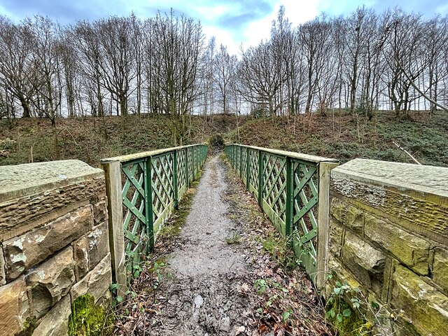
Visitors to Moor Head Plantation can explore its many walking trails, which meander through the woods, offering stunning views of the surrounding countryside. Additionally, there are picnic areas dotted throughout the plantation, providing the perfect spot to relax and enjoy a meal amidst nature.
Moor Head Plantation is open to the public year-round and is a popular destination for nature lovers, families, and those seeking a peaceful retreat. The plantation's natural beauty and tranquility make it a must-visit location for anyone looking to connect with the great outdoors.
If you have any feedback on the listing, please let us know in the comments section below.
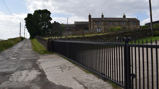
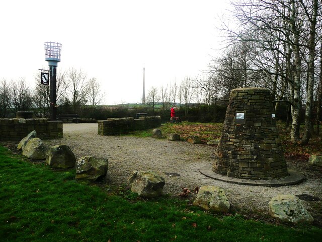
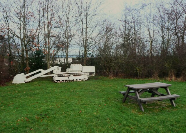
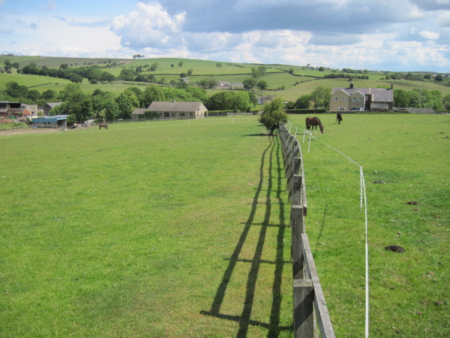
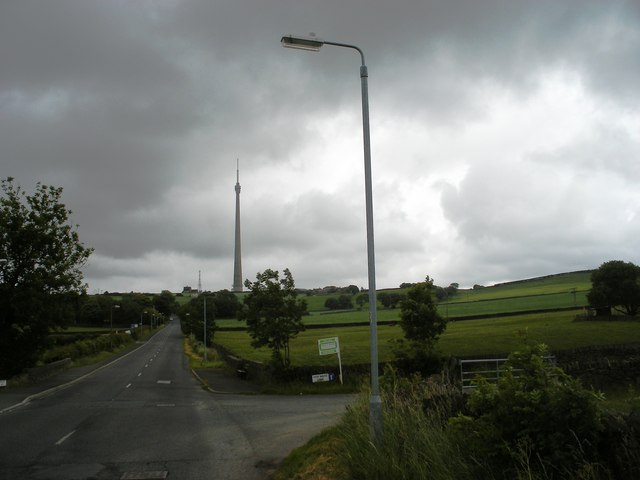
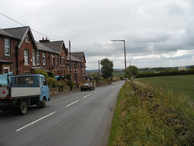
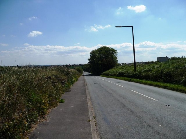
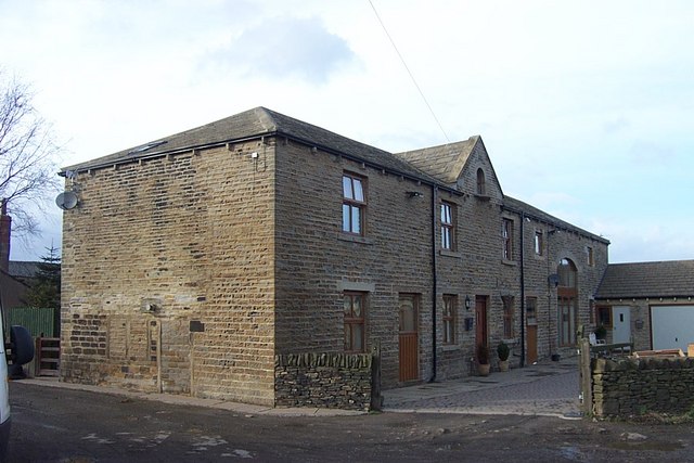
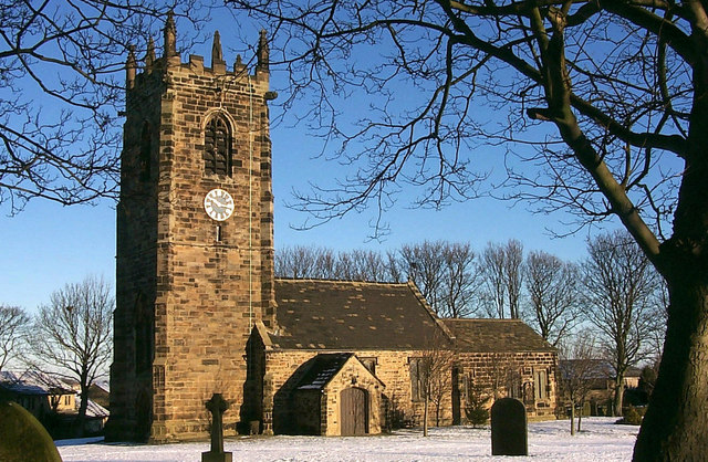
Moor Head Plantation Images
Images are sourced within 2km of 53.613218/-1.662147 or Grid Reference SE2213. Thanks to Geograph Open Source API. All images are credited.
Moor Head Plantation is located at Grid Ref: SE2213 (Lat: 53.613218, Lng: -1.662147)
Division: West Riding
Unitary Authority: Kirklees
Police Authority: West Yorkshire
What 3 Words
///bibs.classic.regime. Near Shelley, West Yorkshire
Nearby Locations
Related Wikis

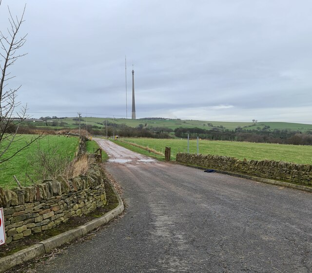
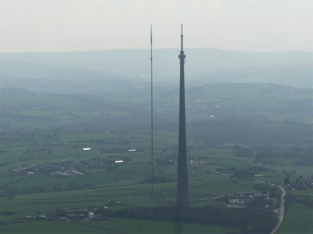
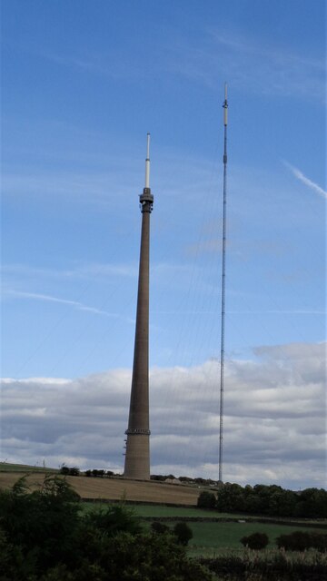
Emley Moor transmitting station
The Emley Moor transmitting station is a telecommunications and broadcasting facility on Emley Moor, 1 mile (1.6 km) west of the village centre of Emley...

Roydhouse
Roydhouse is a hamlet in the civil parish of Kirkburton, in Kirklees, West Yorkshire, England. Roydhouse was recorded as "le Roides". It has a public house...
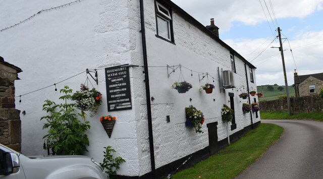
Thorncliffe, West Yorkshire
Thorncliffe (also marked on some maps as Thorncliff) is a hamlet in the civil parish of Kirkburton, in the Kirklees district, in the county of West Yorkshire...
Emley
Emley is a village in the parish of Denby Dale, in the Kirklees district of West Yorkshire, England. It is between Huddersfield and Wakefield. In 2011...
Nearby Amenities
Located within 500m of 53.613218,-1.662147Have you been to Moor Head Plantation?
Leave your review of Moor Head Plantation below (or comments, questions and feedback).