Whitely Wood
Wood, Forest in Yorkshire
England
Whitely Wood
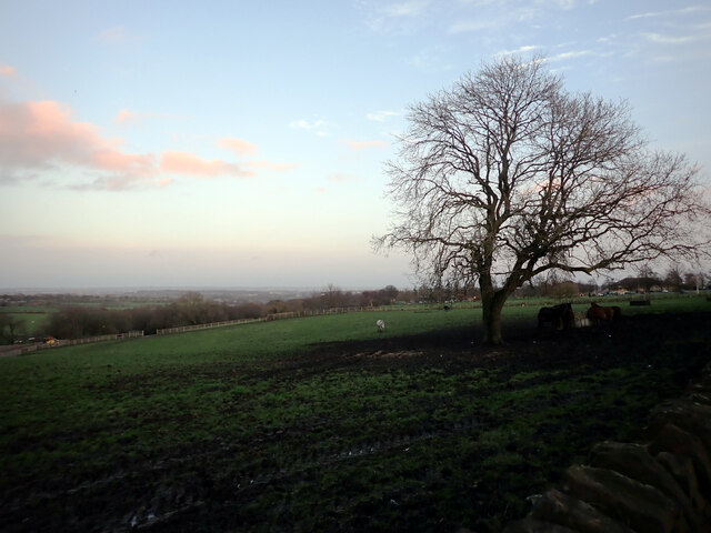
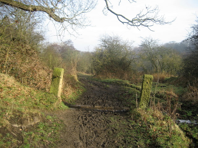
Whitley Wood is a picturesque woodland located in the county of Yorkshire, England. Spread across a sprawling area, it is widely known for its natural beauty and diverse flora and fauna. The wood is situated near the village of Whitley, making it easily accessible for nature enthusiasts and tourists alike.
The woodland is characterized by its dense canopy of trees, creating a serene and tranquil atmosphere. The predominant tree species in Whitely Wood include oak, beech, and birch, lending a rich and varied landscape. The forest floor is covered in a carpet of moss and wildflowers, creating a vibrant and colorful spectacle during the spring and summer months.
Whitley Wood is home to a wide array of wildlife, making it a haven for nature lovers. The wood provides a habitat for various bird species, including woodpeckers, owls, and songbirds, making it a popular destination for birdwatching. Additionally, the woodland is inhabited by mammals such as deer, foxes, and rabbits, adding to the diverse ecosystem.
The wood offers numerous walking trails and paths, allowing visitors to explore and immerse themselves in the natural surroundings. It is a popular spot for outdoor activities such as hiking, picnicking, and photography. The tranquil atmosphere and the beauty of the wood make it an ideal place for relaxation and rejuvenation.
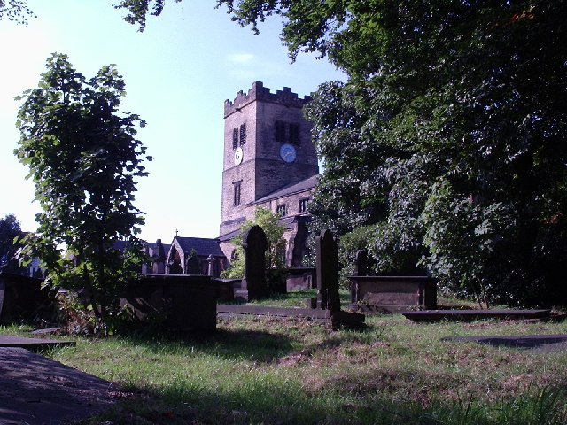
Overall, Whitely Wood in Yorkshire is a stunning woodland that offers a sanctuary for both wildlife and visitors. Its natural beauty, diverse ecosystem, and recreational opportunities make it a must-visit destination for nature enthusiasts and those seeking solace in the great outdoors.
If you have any feedback on the listing, please let us know in the comments section below.
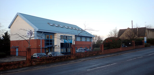
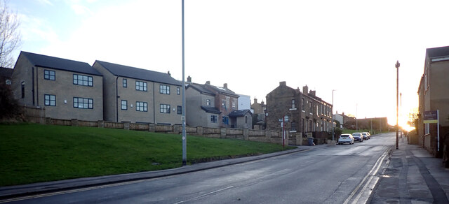
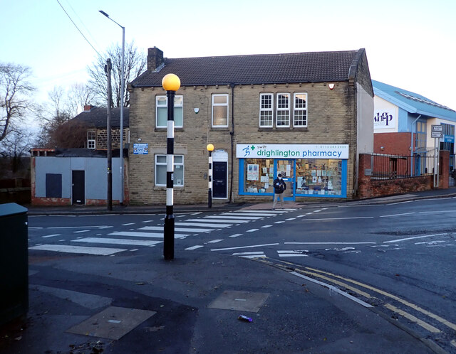
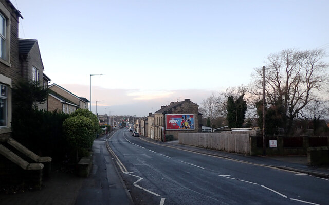
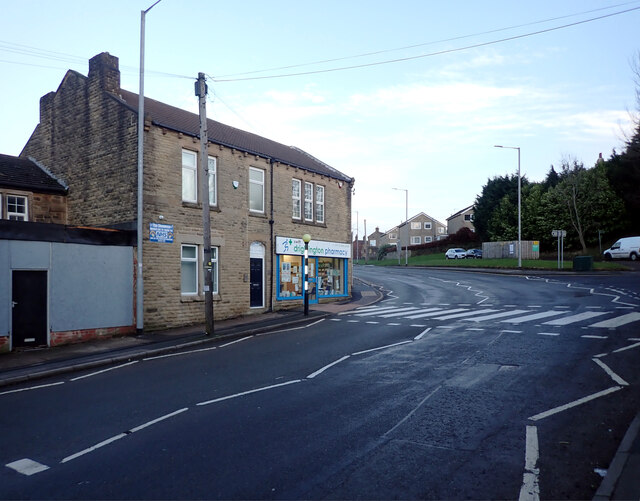
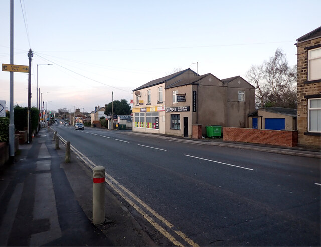
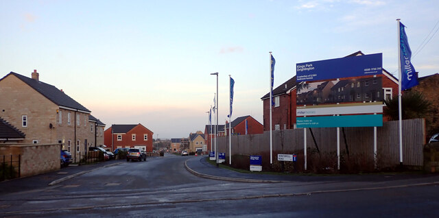
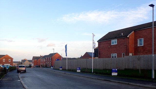
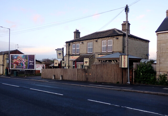
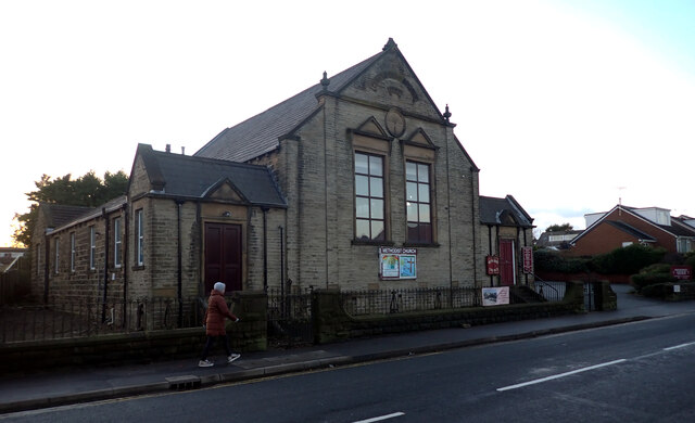
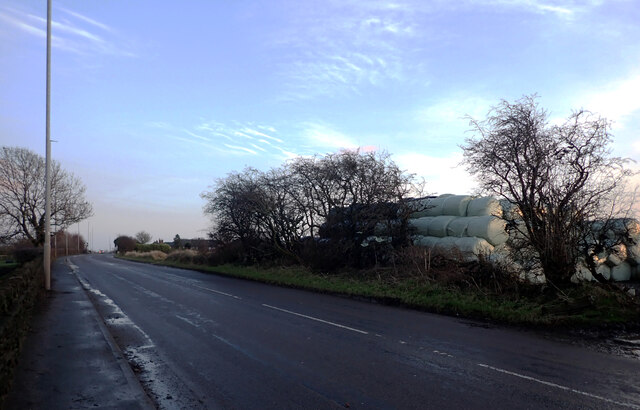
Whitely Wood Images
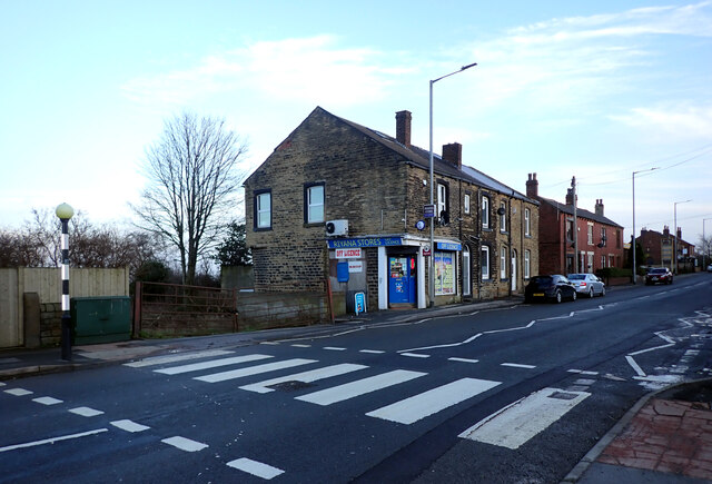
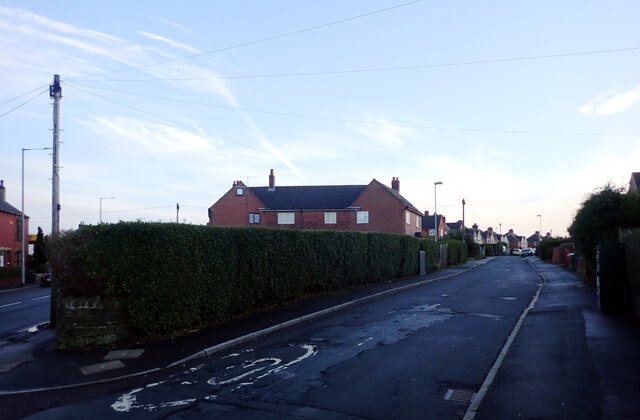
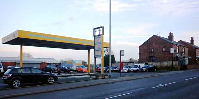
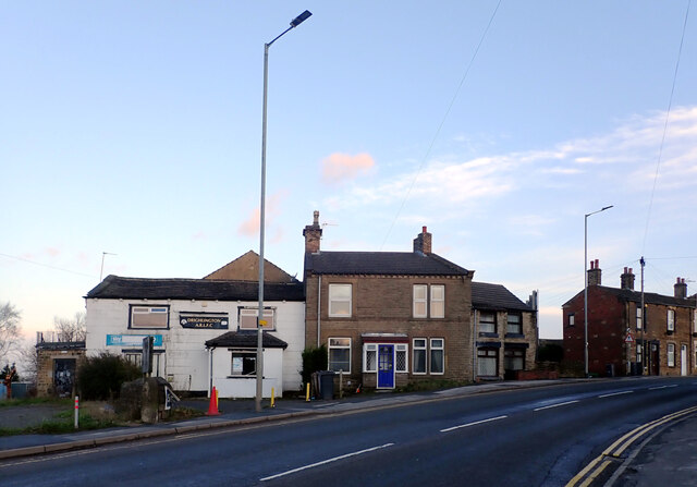
Images are sourced within 2km of 53.763982/-1.6609844 or Grid Reference SE2229. Thanks to Geograph Open Source API. All images are credited.


Whitely Wood is located at Grid Ref: SE2229 (Lat: 53.763982, Lng: -1.6609844)
Division: West Riding
Unitary Authority: Leeds
Police Authority: West Yorkshire
What 3 Words
///precautions.boxing.quest. Near Drighlington, West Yorkshire
Nearby Locations
Related Wikis
Cockersdale
Cockersdale is a location near Tong, south-west of Leeds, West Yorkshire, England. The Leeds Country Way follows the valley known as Cockers Dale, along...
Drighlington
Drighlington is a village and civil parish in the City of Leeds metropolitan district, West Yorkshire, England. Historically part of the West Riding of...

Tong (ward)
Tong (population 17,069 - 2001 UK census) is a ward within the City of Bradford Metropolitan District Council, West Yorkshire, England, named after Tong...
Tong, West Yorkshire
Tong or Tong Village is a village and former civil parish in the City of Bradford metropolitan district, West Yorkshire, England. It is a historic village...
Nearby Amenities
Located within 500m of 53.763982,-1.6609844Have you been to Whitely Wood?
Leave your review of Whitely Wood below (or comments, questions and feedback).