Cross Lanes

Settlement in Yorkshire Richmondshire

England

Cross Lanes

Folly Lane Ford This ford is found on Folly Lane.
Folly Lane Ford Credit: John Walton

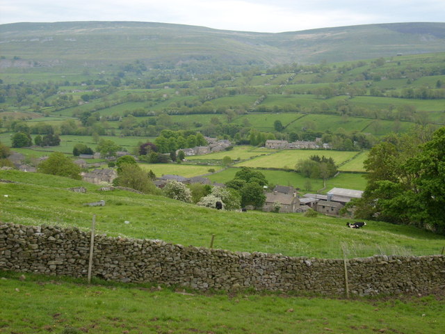
Cross Lanes is a small village located in the East Riding of Yorkshire, England. Situated approximately 5 miles northeast of Beverley, it is nestled in a picturesque rural setting. With a population of around 400 residents, it exudes a close-knit and friendly community atmosphere.

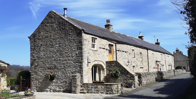
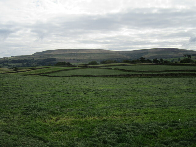
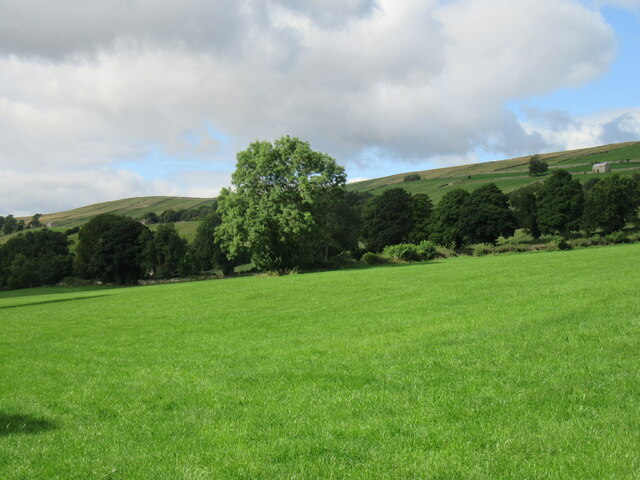
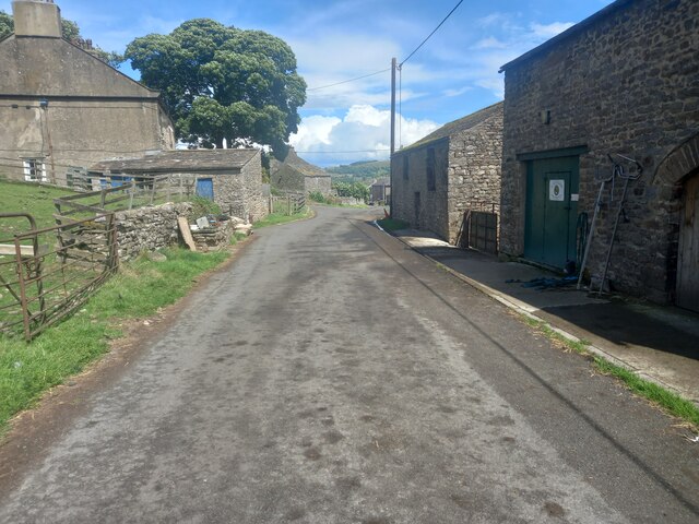
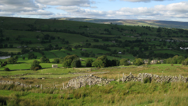
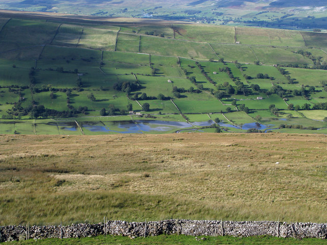
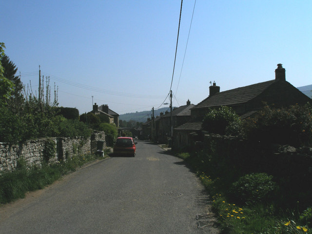
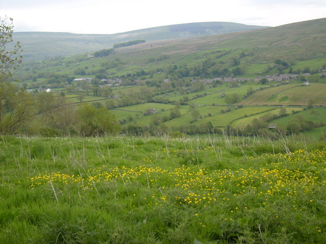
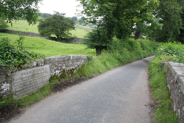
The village is characterized by its quaint and charming architecture, featuring a mix of traditional cottages and more modern houses. Surrounded by rolling hills and lush green fields, Cross Lanes offers residents and visitors alike a peaceful and idyllic countryside experience.

Despite its small size, Cross Lanes boasts a few amenities to cater to the needs of its inhabitants. The village is home to a small primary school, providing education for local children. Additionally, there is a traditional village pub that serves as a social hub for the community, where locals can gather and enjoy a pint or a meal.

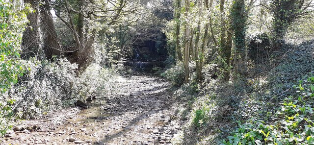
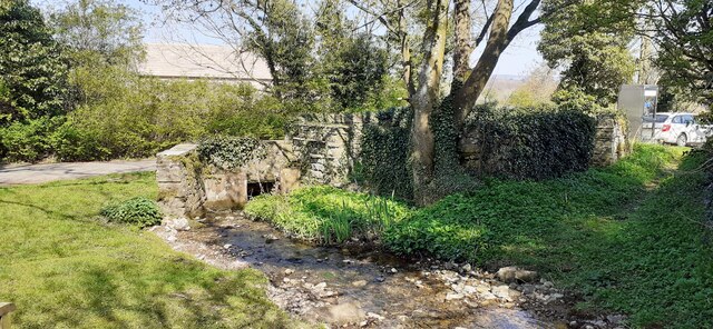
For those seeking outdoor activities, Cross Lanes offers plenty of opportunities. The surrounding countryside provides ample space for walking, hiking, and cycling, allowing visitors to appreciate the natural beauty of the area. The village also benefits from its close proximity to Beverley, a historic market town that offers a range of amenities, including shops, restaurants, and leisure facilities.

Overall, Cross Lanes is a charming and peaceful village, offering a tranquil escape from the hustle and bustle of city life. With its beautiful surroundings and strong sense of community, it is an ideal place for those seeking a slower pace of life in the heart of the Yorkshire countryside.

If you have any feedback on the listing, please let us know in the comments section below.
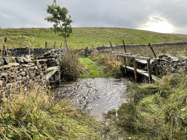
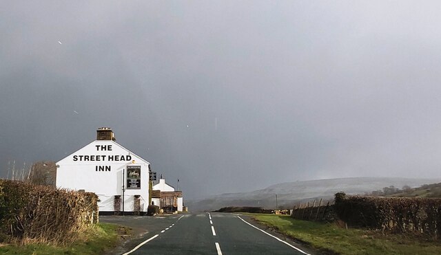
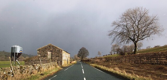
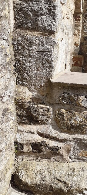
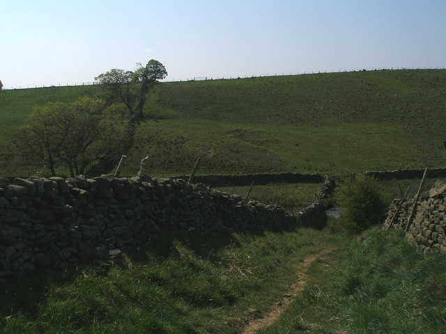
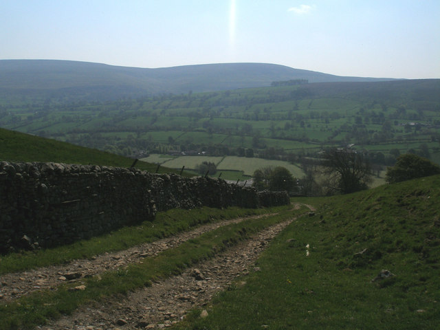
Cross Lanes Images

Images are sourced within 2km of 54.270994/-1.9999195 or Grid Reference SE0086. Thanks to Geograph Open Source API. All images are credited.

Folly Lane Ford This ford is found on Folly Lane.
Folly Lane Ford
This ford is found on Folly Lane.
The Street Head Inn
The Street Head Inn
B6160 in Bishopdale
B6160 in Bishopdale
Benchmark on SW face of Eastburn Farmhouse Ordnance Survey cut mark benchmark levelled at 195.288m above Newlyn Datum verified 1954
Benchmark on SW face of Eastburn Farmhouse
Ordnance Survey cut mark benchmark levelled at 195.288m above Newlyn Datum verified 1954
Eastburn Farmhouse and Eastburn Cottage There is an Ordnance Survey benchmark <a href="https://www.geograph.org.uk/photo/7152876">SD9985 : Benchmark on SW face of Eastburn Farmhouse</a> on the near corner of the building beside the stone gatepost
Eastburn Farmhouse and Eastburn Cottage
There is an Ordnance Survey benchmark SD9985 : Benchmark on SW face of Eastburn Farmhouse on the near corner of the building beside the stone gatepost
View SE along Mill Beck
Mill Beck approaching Millbeck Bridge The footpath to the right passes a Telephone Call Box
Mill Beck approaching Millbeck Bridge
The footpath to the right passes a Telephone Call Box
Folly Lane view Looking east from Folly Lane.
Folly Lane view
Looking east from Folly Lane.
Bishopdale near Thoralby Looking NW.
Bishopdale near Thoralby
Looking NW.
Westfield, Lane, Thoralby Looking north-eastward from Town Head Farm.
Westfield, Lane, Thoralby
Looking north-eastward from Town Head Farm.
Fields near to Newbiggin in Bishopdale Wasset Fell Road is a track climbing from the village of Newbiggin, southwards on to the hill ridge rising eventually to Buckden Pike. The roofs of Newbiggin are seen here over enclosures of rough pasture from the descent of the road.
Fields near to Newbiggin in Bishopdale
Wasset Fell Road is a track climbing from the village of Newbiggin, southwards on to the hill ridge rising eventually to Buckden Pike. The roofs of Newbiggin are seen here over enclosures of rough pasture from the descent of the road.
Roughly grassed enclosure below Wasset Fell Road Wasset Fell road descends to Newbiggin from the high ridge on the south-east side of Bishopdale. The view here is from the road at Floutgate Scar over fields to the valley bottom where flooding testifies to the extent of recent rain.
Roughly grassed enclosure below Wasset Fell Road
Wasset Fell road descends to Newbiggin from the high ridge on the south-east side of Bishopdale. The view here is from the road at Floutgate Scar over fields to the valley bottom where flooding testifies to the extent of recent rain.
Descent to the ford on Folly Lane
Descending to Thoralby
Western end of Thoralby
View from Side Road The view across Bishopdale to Newbiggin, taken from Side Road.
View from Side Road
The view across Bishopdale to Newbiggin, taken from Side Road.
Bishopdale near Thoralby View of Bishopdale near to Thoralby.
Bishopdale near Thoralby
View of Bishopdale near to Thoralby.
Littleburn Bridge over Littleburn Beck The bridge, YNR 432, is a listed structure described as:
Bridge. Dated 1814. For the 4th Lord Rokeby of Littleburn House (qv).
Rubble. Single segmental arch. Parapets terminate in square ashlar
pedestals, with panelled sides and pyramidal tops. Ashlar coping, stones
cramped together on parapet. On inside of downstream parapet, stone
inscribed "AD 1814". On inside of upstream parapet, ashlar sandstone plaque
with Latin inscription describing the destructive force of water and
commemorating the Duke of Wellington's victories.
Littleburn Bridge over Littleburn Beck
The bridge, YNR 432, is a listed structure described as: Bridge. Dated 1814. For the 4th Lord Rokeby of Littleburn House (qv). Rubble. Single segmental arch. Parapets terminate in square ashlar pedestals, with panelled sides and pyramidal tops. Ashlar coping, stones cramped together on parapet. On inside of downstream parapet, stone inscribed "AD 1814". On inside of upstream parapet, ashlar sandstone plaque with Latin inscription describing the destructive force of water and commemorating the Duke of Wellington's victories.
Show me another place!

Cross Lanes is located at Grid Ref: SE0086 (Lat: 54.270994, Lng: -1.9999195)

Division: North Riding

Administrative County: North Yorkshire

District: Richmondshire

Police Authority: North Yorkshire

What 3 Words

///huddling.nightlife.adjusted. Near Leyburn, North Yorkshire

Nearby Locations

Machell Hill Cross Lanes

Related Wikis

Newbiggin, south Wensleydale

Newbiggin is a village and civil parish in Bishopdale, a side dale on the south side of Wensleydale, in the Yorkshire Dales in North Yorkshire, England...

Thoralby

Thoralby is a village and civil parish in the Richmondshire district of North Yorkshire, England. It lies south of Aysgarth, is within a mile of both Newbiggin...

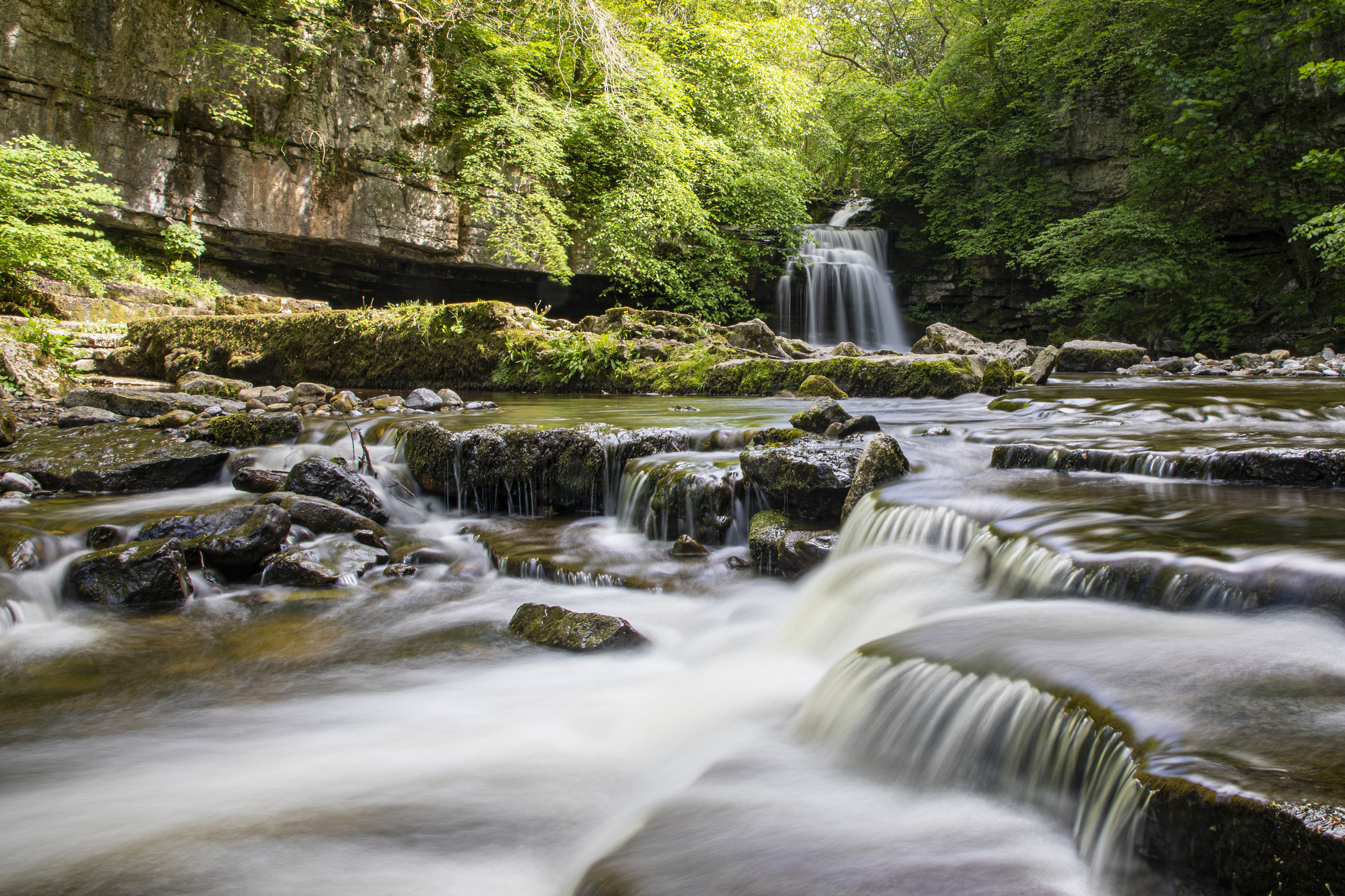
Cauldron Falls (North Yorkshire)

Cauldron Falls (also known as West Burton falls), is a series of waterfalls on Walden Beck in the village of West Burton, North Yorkshire, England. It...

West Burton, North Yorkshire

West Burton is a village in Bishopdale, a side valley of Wensleydale, in the Yorkshire Dales, North Yorkshire, England. It lies 6.2 miles (10 km) south...

Castle Dykes Henge

Castle Dykes Henge is a Class I Neolithic henge earthwork in the Yorkshire Dales National Park in North Yorkshire, England, situated between the villages...

Aysgarth

Aysgarth is a village and civil parish in Wensleydale, in North Yorkshire, England. The village is in the Yorkshire Dales National Park, about 16 miles...

St Andrew's Church, Aysgarth

St Andrew's Church, Aysgarth, is a Grade II* listed parish church in the Church of England: 66  in Aysgarth, North Yorkshire. It is located on the south...

Burton-cum-Walden

Burton-cum-Walden is a civil parish in North Yorkshire, England, in the Yorkshire Dales National Park. It had a population of 303 according to the 2011...

Nearby Amenities

Located within 500m of 54.270994,-1.9999195
Newbiggin
Is In County: North Yorkshire
Is In Municipality: Richmondshire
Place: hamlet
Source: NPE
Wikidata: Q2605837
Wikipedia: en:Newbiggin, North Yorkshire
Lat/Long: 54.2667717/-2.0024234
Post Box
Ref: DL8 22
Source: survey
Lat/Long: 54.2673552/-2.0025696
Give Way
Direction: backward
Lat/Long: 54.2732036/-1.9981676
Power: pole
Lat/Long: 54.2739876/-1.9953283
Power: pole
Lat/Long: 54.2733898/-1.996593
Power: pole
Lat/Long: 54.2730616/-1.9973307
Power: pole
Lat/Long: 54.2726088/-1.9983244
Power: pole
Lat/Long: 54.272093/-1.999426
Power: pole
Lat/Long: 54.2714864/-2.0007685
Power: pole
Lat/Long: 54.2710922/-2.0024271
Power: pole
Lat/Long: 54.2707581/-2.0037872
Power: pole
Lat/Long: 54.2705017/-2.0048813
Power: pole
Lat/Long: 54.270213/-2.0060606
Power: pole
Lat/Long: 54.2699625/-2.0070895
Power: pole
Lat/Long: 54.2703434/-2.0064395
Power: pole
Lat/Long: 54.270109/-2.0031636
Power: pole
Lat/Long: 54.2693221/-2.0032063
Power: pole
Lat/Long: 54.2682392/-2.0034422
Power: pole
Lat/Long: 54.267713/-2.0035596
Power: pole
Lat/Long: 54.2674185/-2.0036253
Power: pole
Lat/Long: 54.2670404/-2.0034898
The data included in this document is from www.openstreetmap.org. The data is made available under ODbL.

Have you been to Cross Lanes?

Leave your review of Cross Lanes below (or comments, questions and feedback).