Cross Lanes

Settlement in Shropshire

England

Cross Lanes

Brynore Hall
Brynore Hall Credit: Peter McDermott

Cross Lanes is a small village located in the county of Shropshire, England. Situated approximately 6 miles east of the town of Shrewsbury, the village lies in the heart of the picturesque Shropshire countryside.

The name Cross Lanes originates from the crossroads that intersect in the village, connecting it to nearby towns and villages. This strategic location has made Cross Lanes a vital transportation hub for local residents and businesses.

The village itself is home to a close-knit community, with a population of around 500 residents. It boasts a range of amenities, including a primary school, a village hall, and a local pub, where locals often gather to socialize and unwind.

Surrounded by rolling hills and lush green fields, Cross Lanes offers stunning countryside views and an abundance of outdoor recreational opportunities. The area is popular among hikers, cyclists, and nature enthusiasts, who can explore the numerous walking trails and pathways that crisscross the village and its surroundings.

Despite its small size, Cross Lanes has a rich history dating back several centuries. The village is dotted with historic buildings, including a beautiful 12th-century church that serves as a focal point for the community.

Overall, Cross Lanes is a charming and idyllic village, providing a peaceful and tranquil setting for its residents and visitors alike. Its rural location, combined with its strong sense of community, makes it a desirable place to live and visit in the heart of Shropshire.

If you have any feedback on the listing, please let us know in the comments section below.
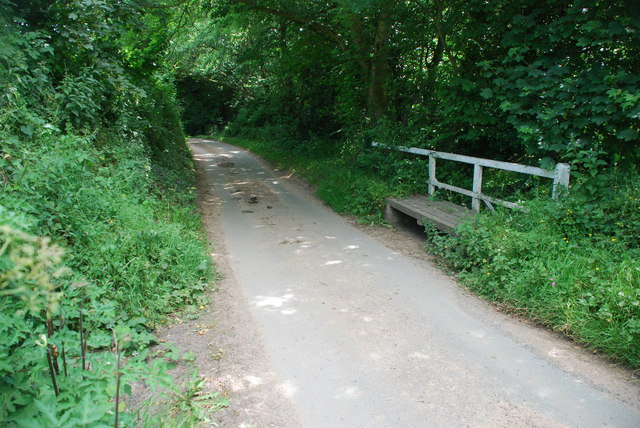
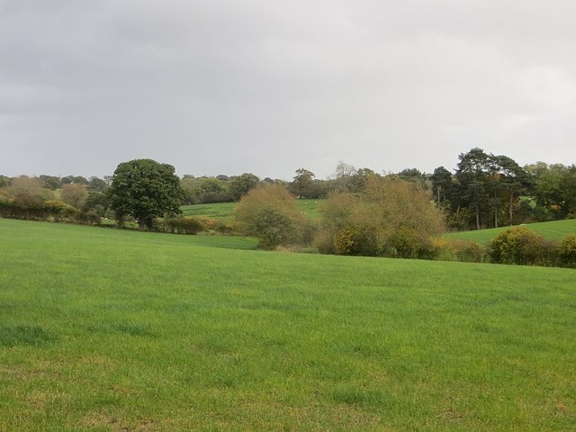
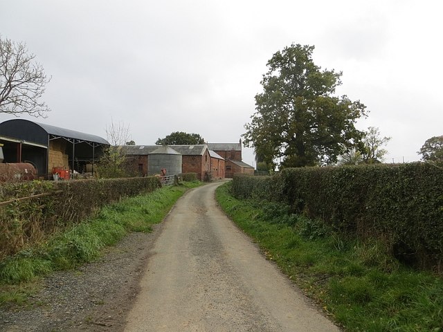
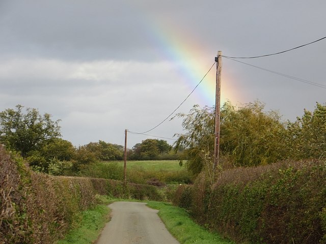
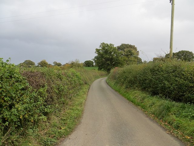
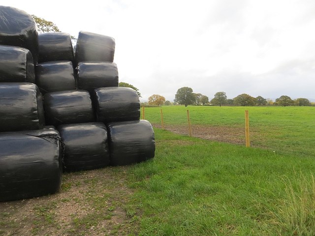
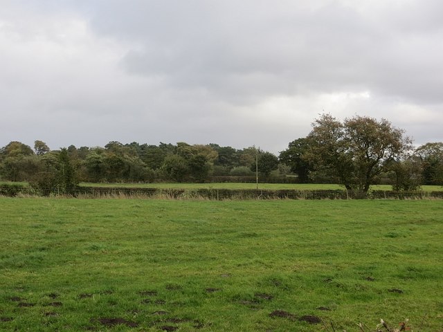
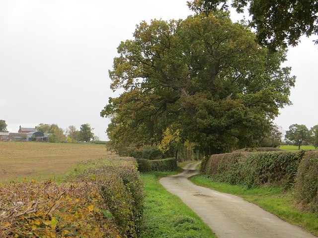
Cross Lanes Images

Images are sourced within 2km of 52.931017/-2.9581185 or Grid Reference SJ3537. Thanks to Geograph Open Source API. All images are credited.

Brynore Hall
Brynore Hall
Dudleston Heath
Dudleston Heath
The Oaks
The Oaks
Ford at Bryn Daniel This ford is found on the Bryn Daniel Brook near Dudleston Grange.
Ford at Bryn Daniel
This ford is found on the Bryn Daniel Brook near Dudleston Grange.
Ford at Plas-Thomas This ford is found beside Castle Dingle wood near Plas-Thomas.
Ford at Plas-Thomas
This ford is found beside Castle Dingle wood near Plas-Thomas.
Grassland, Pentre-coed Dairy farming country.
Grassland, Pentre-coed
Dairy farming country.
Pentre-coed Lane from the north.
Pentre-coed
Lane from the north.
Lane, Pentre-coed Lots of rainbows today.
Lane, Pentre-coed
Lots of rainbows today.
Pentre-coed to Gadlas road Taken quickly, but while stationary outside. The road was busy due to a road closure at Dudleston Heath.
Pentre-coed to Gadlas road
Taken quickly, but while stationary outside. The road was busy due to a road closure at Dudleston Heath.
Silage stash Round bale silage stacked in the corner of a field.
Silage stash
Round bale silage stacked in the corner of a field.
Field, Dudleston Heath Dairy farming country.
Field, Dudleston Heath
Dairy farming country.
Pentre-coed An oak lined road heading south towards Pentre-coed, Shropshire.
Pentre-coed
An oak lined road heading south towards Pentre-coed, Shropshire.
Crossroads, Dudleston Heath The road going straight on was closed for removal of a tree, no signage. The road on the right was closed too, leading to a lot of extra traffic on the foreground road. Seems like rampant road closing has spread into England too.

On a positive note, the hedges had recently trimmed, but the thorns had been cleared from the road. Thanks, much appreciated.
Crossroads, Dudleston Heath
The road going straight on was closed for removal of a tree, no signage. The road on the right was closed too, leading to a lot of extra traffic on the foreground road. Seems like rampant road closing has spread into England too. On a positive note, the hedges had recently trimmed, but the thorns had been cleared from the road. Thanks, much appreciated.
St. Mary The Virgin, Dudleston Great freestone built church standing in a classic churchyard with Yew Trees.
St. Mary The Virgin, Dudleston
Great freestone built church standing in a classic churchyard with Yew Trees.
Dudleston Church
Dudleston Church
Cae-hir farm A traditional set of buildings now part of a private house set in the wonderful North Shropshire countryside.
Cae-hir farm
A traditional set of buildings now part of a private house set in the wonderful North Shropshire countryside.
Modern offices at Plas Yoly The modern office complex suddenly appears in the fields, there is no indication of its ownership or function.
Modern offices at Plas Yoly
The modern office complex suddenly appears in the fields, there is no indication of its ownership or function.
Cattle grazing below the National Grid at Plas Yoly The pylons march from the West Midlands to Legacy near Wrecsam.
Cattle grazing below the National Grid at Plas Yoly
The pylons march from the West Midlands to Legacy near Wrecsam.
Show me another place!

Cross Lanes is located at Grid Ref: SJ3537 (Lat: 52.931017, Lng: -2.9581185)

Unitary Authority: Shropshire

Police Authority: West Merica

What 3 Words

///relies.bronzer.swerving. Near Overton, Wrexham

Nearby Locations

Cross Lanes

Related Wikis

Dudleston Heath (Criftins)

Dudleston Heath (also referred to as Criftins) is a village in north-west Shropshire, England. It is located on the B5068 road between Ellesmere and St...

Knolton

Knolton () is a hamlet in Wrexham County Borough, Wales, close to the border with Shropshire, England. It is in Overton parish, and is 5½ miles ENE of...

Shellbrook Hill

Shellbrook Hill is a grade II listed house in Ellesmere Rural, Shropshire, England, less than a quarter of a mile from part of the Wales border. The house...

Ellesmere Rural

Ellesmere Rural is a civil parish in Shropshire, England. In 2011 the parish covered a large area, mainly to the west of the town of Ellesmere. This rural...

Nearby Amenities

Located within 500m of 52.931017,-2.9581185
Cross Lanes
Place: locality
Lat/Long: 52.9314835/-2.9586617
Give Way
Direction: forward
Lat/Long: 52.9274276/-2.9555757
Give Way
Direction: forward
Lat/Long: 52.9309843/-2.958056
The data included in this document is from www.openstreetmap.org. The data is made available under ODbL.

Have you been to Cross Lanes?

Leave your review of Cross Lanes below (or comments, questions and feedback).