Cramer Gutter

Settlement in Shropshire

England

Cramer Gutter

Farlow trig point Trig point just outside Farlow church grave yard
Farlow trig point Credit: John Horner

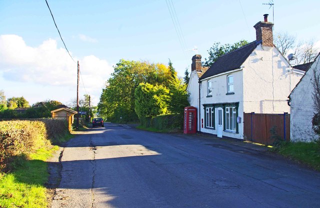
Cramer Gutter is a small village located in the county of Shropshire, England. Situated in the West Midlands region, the village is nestled in the heart of the beautiful Shropshire Hills, near the border with Wales. Although its population is relatively small, the village boasts a rich history and a close-knit community.

The name "Cramer Gutter" originates from the Old English term "cramere," meaning a merchant, and "gutter," referring to a small stream or watercourse. This suggests that the village may have been a hub for trading in the past.

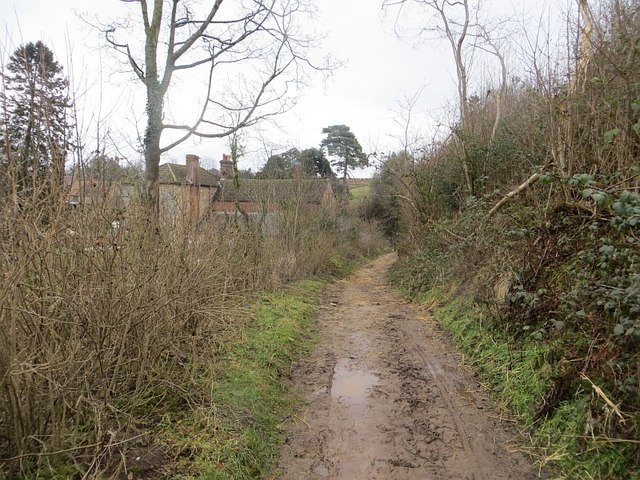
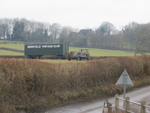
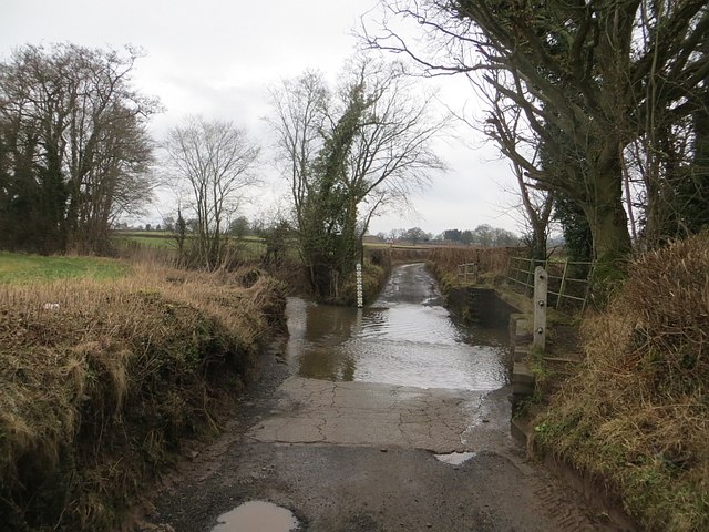
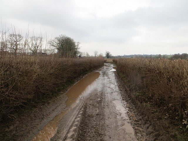
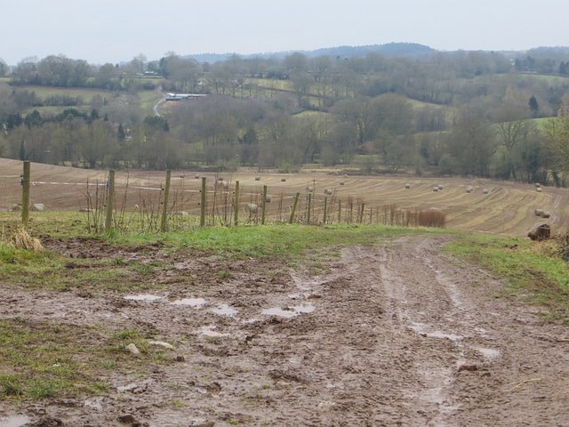
The village is characterized by its picturesque landscapes and charming countryside. Surrounding Cramer Gutter are rolling hills, lush green fields, and meandering streams, providing ample opportunities for outdoor activities such as hiking, cycling, and fishing. The area is also known for its diverse wildlife and is home to several rare species, making it a popular destination for nature enthusiasts.

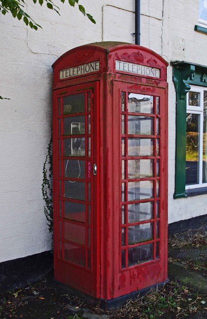
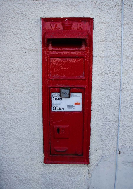
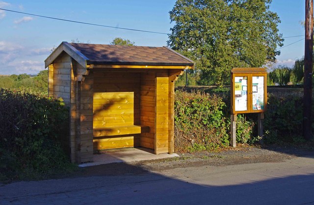
Cramer Gutter has a small number of amenities to cater to the needs of its residents. These include a local pub, a village hall, and a primary school. For more extensive services, residents often travel to nearby towns such as Church Stretton or Shrewsbury.

Overall, Cramer Gutter offers a peaceful and idyllic lifestyle, with its stunning natural surroundings and strong sense of community. Whether enjoying the tranquility of the countryside or participating in local events, residents and visitors alike can experience the beauty and charm that this Shropshire village has to offer.

If you have any feedback on the listing, please let us know in the comments section below.

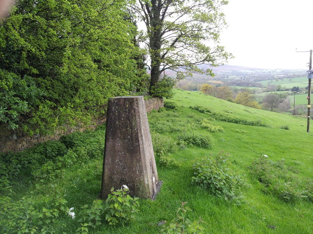
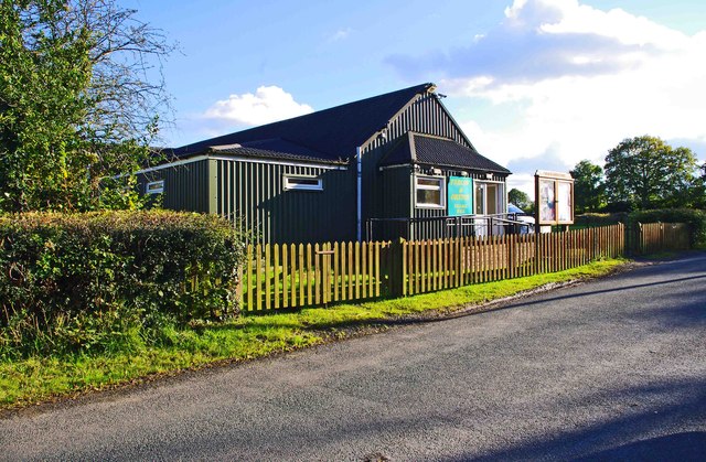
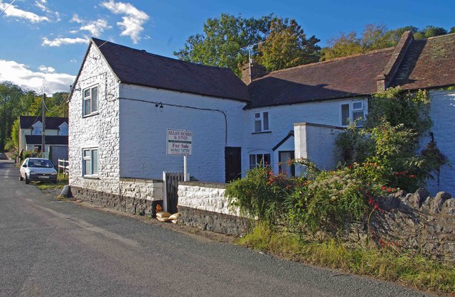
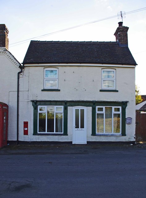
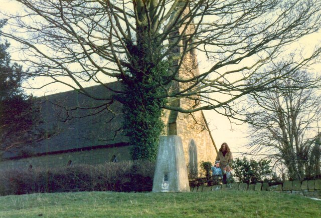
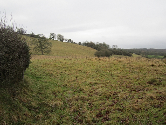
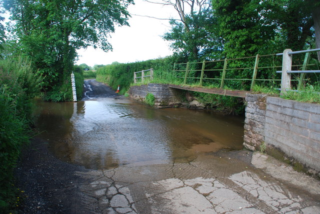
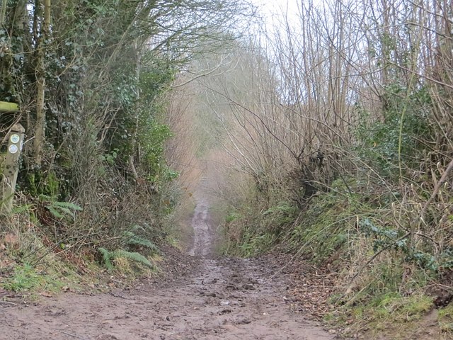
Cramer Gutter Images

Images are sourced within 2km of 52.41315/-2.512919 or Grid Reference SO6579. Thanks to Geograph Open Source API. All images are credited.

Farlow trig point Trig point just outside Farlow church grave yard
Farlow trig point
Trig point just outside Farlow church grave yard
Farlow & Oreton Village Hall, near Farlow The hall serves the villages of Farlow and Oreton and is a little way from both. It seems to date from the early 1950's.
Farlow & Oreton Village Hall, near Farlow
The hall serves the villages of Farlow and Oreton and is a little way from both. It seems to date from the early 1950's.
The former New Inn, Oreton, Shropshire This public house had been closed for some time when this photograph was taken, and was on the market as licensed premises. It was a traditional pub with the downstairs divided into a bar area, lounge, tap room and games room. There is a small beer garden at the front, plus rear gardens. Oreton is such a small place and a bit off the beaten track, so making the business viable would not be easy. Some other pubs in the area have also closed in recent years. Originally the building, which is about 200 years old, was used as a prison for Oreton & Farlow. It should perhaps be mentioned that some aerial maps are identifying the wrong building as the New Inn, but this is the correct one!

Update:- The New Inn re-opened on the 11/10/2014 after apparently being closed for almost 9 years! Possibly this is some kind of record but it's good news. The pub sells local beers from Hobsons Brewery and does basket meals at times.

<a href="https://www.geograph.org.uk/photo/4615894">SO6580 : The New Inn (1), Oreton, Shropshire</a>.
The former New Inn, Oreton, Shropshire
This public house had been closed for some time when this photograph was taken, and was on the market as licensed premises. It was a traditional pub with the downstairs divided into a bar area, lounge, tap room and games room. There is a small beer garden at the front, plus rear gardens. Oreton is such a small place and a bit off the beaten track, so making the business viable would not be easy. Some other pubs in the area have also closed in recent years. Originally the building, which is about 200 years old, was used as a prison for Oreton & Farlow. It should perhaps be mentioned that some aerial maps are identifying the wrong building as the New Inn, but this is the correct one! Update:- The New Inn re-opened on the 11/10/2014 after apparently being closed for almost 9 years! Possibly this is some kind of record but it's good news. The pub sells local beers from Hobsons Brewery and does basket meals at times. SO6580 : The New Inn (1), Oreton, Shropshire.
Former shop (1), Oreton Road, Oreton Oreton is a small hamlet a few miles from Cleobury Mortimer. Today no shops survive and even the public house is currently, possibly permanently, closed. In the past this building, now a private house, was a baker and grocer's shop. Covered in the dark green paint above the ground floor windows and door is a sign. This says, "Baker A.J. Link Grocer". In recent years new double glazed windows and a front door have been put in. An April 2007 photograph by Richard Webb,<a href="https://www.geograph.org.uk/photo/405981">SO6580 : Former shop, Oreton</a>, shows the previous frontage which possibly is the original shop frontage.

It appears that at one time the local post office was based here, but that had certainly closed at some point prior to October 2007. See:- <a href="https://www.geograph.org.uk/photo/3181992">SO6580 : Victorian wall-mounted postbox, Oreton Road, Oreton</a>.

<a href="https://www.geograph.org.uk/photo/3181801">SO6580 : Former shop (2), Oreton Road, Oreton</a>.
Former shop (1), Oreton Road, Oreton
Oreton is a small hamlet a few miles from Cleobury Mortimer. Today no shops survive and even the public house is currently, possibly permanently, closed. In the past this building, now a private house, was a baker and grocer's shop. Covered in the dark green paint above the ground floor windows and door is a sign. This says, "Baker A.J. Link Grocer". In recent years new double glazed windows and a front door have been put in. An April 2007 photograph by Richard Webb,SO6580 : Former shop, Oreton, shows the previous frontage which possibly is the original shop frontage. It appears that at one time the local post office was based here, but that had certainly closed at some point prior to October 2007. See:- SO6580 : Victorian wall-mounted postbox, Oreton Road, Oreton. SO6580 : Former shop (2), Oreton Road, Oreton.
Former shop (2), Oreton Road, Oreton The building, now a private house, is of some historical interest as it used to be a baker and grocer's shop. Before the rise of the supermarkets, even small hamlets like Oreton usually had one or more local shops. It is no surprise that outside both a telephone kiosk and a wall-mounted postbox (not visible in this view) were located. The postbox dates from Victorian times, which would indicate the building has been standing here for well over a century, at least.

<a href="https://www.geograph.org.uk/photo/3181787">SO6580 : Former shop (1), Oreton Road, Oreton</a>.
Former shop (2), Oreton Road, Oreton
The building, now a private house, is of some historical interest as it used to be a baker and grocer's shop. Before the rise of the supermarkets, even small hamlets like Oreton usually had one or more local shops. It is no surprise that outside both a telephone kiosk and a wall-mounted postbox (not visible in this view) were located. The postbox dates from Victorian times, which would indicate the building has been standing here for well over a century, at least. SO6580 : Former shop (1), Oreton Road, Oreton.
Oreton Road, Oreton Just past the former shop (on the right) is a cross roads. At that point Oreton Road becomes Withies Bank. The turn on the left is Moors Lane, and that on the right is New Road.
Oreton Road, Oreton
Just past the former shop (on the right) is a cross roads. At that point Oreton Road becomes Withies Bank. The turn on the left is Moors Lane, and that on the right is New Road.
Telephone kiosk, Oreton Road, Oreton Oreton has managed to retain a working traditional red telephone kiosk, located outside a former baker and grocer's shop. See also:- <a href="https://www.geograph.org.uk/photo/3181817">SO6580 : Oreton Road, Oreton</a>.
Telephone kiosk, Oreton Road, Oreton
Oreton has managed to retain a working traditional red telephone kiosk, located outside a former baker and grocer's shop. See also:- SO6580 : Oreton Road, Oreton.
Victorian wall-mounted postbox, Oreton Road, Oreton The initials V R at the top of the box indicate this is a postbox dating from Queen Victoria's reign. As she died early in 1901, this box has, at the time of writing, been in use for around 112 years, probably longer. Inset into the front wall of a house, which at one time was a baker & grocer's shop. See:- <a href="https://www.geograph.org.uk/photo/3181979">SO6580 : Telephone kiosk, Oreton Road, Oreton</a>.

Interestingly the official list of postboxes gives the address of this box as "Oreton Post Office", so presumably the former shop was at one time the post office. Unfortunately Oreton's post office was closed at some point prior to October 2007.

Postbox number:- DY14 132. Post code:- DY14 OTH. Last collection:- 4 p.m. Monday to Friday; 11.15 a.m. Saturday.
Victorian wall-mounted postbox, Oreton Road, Oreton
The initials V R at the top of the box indicate this is a postbox dating from Queen Victoria's reign. As she died early in 1901, this box has, at the time of writing, been in use for around 112 years, probably longer. Inset into the front wall of a house, which at one time was a baker & grocer's shop. See:- SO6580 : Telephone kiosk, Oreton Road, Oreton. Interestingly the official list of postboxes gives the address of this box as "Oreton Post Office", so presumably the former shop was at one time the post office. Unfortunately Oreton's post office was closed at some point prior to October 2007. Postbox number:- DY14 132. Post code:- DY14 OTH. Last collection:- 4 p.m. Monday to Friday; 11.15 a.m. Saturday.
Bus shelter and parish notice board, Oreton Road, Oreton The notice board belongs to Farlow & Oreton Parish Council.

<a href="https://www.geograph.org.uk/photo/3181817">SO6580 : Oreton Road, Oreton</a>.
Bus shelter and parish notice board, Oreton Road, Oreton
The notice board belongs to Farlow & Oreton Parish Council. SO6580 : Oreton Road, Oreton.
Trig point and St Giles Church Information on the Ordnance Survey trig point can be found at <span class="nowrap"><a title="http://trigpointinguk.com/trigs/trig-details.php?t=3118" rel="nofollow ugc noopener" href="http://trigpointinguk.com/trigs/trig-details.php?t=3118">Link</a><img style="margin-left:2px;" alt="External link" title="External link - shift click to open in new window" src="https://s1.geograph.org.uk/img/external.png" width="10" height="10"/></span>
Trig point and St Giles Church
Information on the Ordnance Survey trig point can be found at LinkExternal link
Steep slopes beneath Farlow Grass fields fall away from beneath Farlow.
Steep slopes beneath Farlow
Grass fields fall away from beneath Farlow.
Ford at Prescott This ford on the Farlow Brook is found close to Prescott.
Ford at Prescott
This ford on the Farlow Brook is found close to Prescott.
Green lane, Prescott A very attractive unpaved road. It runs on the bedrock in places, a pale soft Carboniferous sandstone.
Green lane, Prescott
A very attractive unpaved road. It runs on the bedrock in places, a pale soft Carboniferous sandstone.
Green lane, Prescott Down to the bedrock, a soft yellow carboniferous sandstone.
Green lane, Prescott
Down to the bedrock, a soft yellow carboniferous sandstone.
We are not in Brimfield anymore Toto Trailer on the other side of Clee Hill, near Oreton, not Orleton.
We are not in Brimfield anymore Toto
Trailer on the other side of Clee Hill, near Oreton, not Orleton.
Ford through Farlow Brook It has a good bottom and is easy to ride through. Great for washing off the mud, except that the lane to the north must be one of the muddiest I have ever ridden.
Ford through Farlow Brook
It has a good bottom and is easy to ride through. Great for washing off the mud, except that the lane to the north must be one of the muddiest I have ever ridden.
Muddy lane near Stottesdon My penance for missing Wales playing at Murrayfield was to ride roads like this. There is a ford which will help those travelling southwards.
Muddy lane near Stottesdon
My penance for missing Wales playing at Murrayfield was to ride roads like this. There is a ford which will help those travelling southwards.
Field, Prescott Stubble on a field sloping steeply to the Rea.
Field, Prescott
Stubble on a field sloping steeply to the Rea.
Show me another place!

Cramer Gutter is located at Grid Ref: SO6579 (Lat: 52.41315, Lng: -2.512919)

Unitary Authority: Shropshire

Police Authority: West Merica

What 3 Words

///panels.grub.older. Near Cleobury Mortimer, Shropshire

Nearby Locations

Cramer Gutter

Related Wikis

Oreton, Shropshire

Oreton is a small village in the English county of Shropshire, in the civil parish of Farlow. Oreton is on a hill overlooking the River Rea and is some...

Farlow, Shropshire

Farlow is a small village and civil parish in Shropshire, England. The population at the 2011 census was 445.The chapelry of Farlow was an exclave of Herefordshire...

Stottesdon Halt railway station

Stottesdon Halt railway station was a station in Stottesdon, Shropshire, England. The station was opened in 1908 and closed in 1938. == References... ==

Silvington

Silvington is a village and former civil parish, now in the parish of Wheathill, in Shropshire, England. The church is dedicated to Saint Michael and is...

Neen Savage

Neen Savage is a civil parish and a hamlet in south east Shropshire, England. It is situated north of the small market town of Cleobury Mortimer. The River...

Catherton Common

Catherton Common is a nature reserve of the Shropshire Wildlife Trust, between Cleehill and Cleobury Mortimer in Shropshire, England. It is heathland...

Hopton Wafers

Hopton Wafers is a small village and civil parish in south Shropshire, England. The population of the public parish at the 2011 census was 753. It is located...

Bagginswood

Bagginswood is a small village, In Shropshire, near to Stottesdon. Bagginswood is set within an area of outstanding natural beauty and sits centre of a...

Nearby Amenities

Located within 500m of 52.41315,-2.512919
Generator Method: photovoltaic
Generator Output Electricity: yes
Generator Source: solar
Generator Type: solar_photovoltaic_panel
Location: roof
Power: generator
Lat/Long: 52.4123363/-2.516529
The data included in this document is from www.openstreetmap.org. The data is made available under ODbL.

Have you been to Cramer Gutter?

Leave your review of Cramer Gutter below (or comments, questions and feedback).