Cramhurst

Settlement in Surrey Waverley

England

Cramhurst

Chippie in Portsmouth Road Fish and chip shops are a great British institution. In the 16th century Iberian refugees in London began selling white fish fried in a thin coat of flour. Friday became a particularly busy day as both Jews and Catholics wanted cooked fish that day. A hundred years later, Hugenots brought their fondness for fried potato to the capital. Joseph Malin opened the first chippy in Bethnal Green during the 1860s. Today there are more than 10,000 in England alone.
Chippie in Portsmouth Road Credit: Basher Eyre

Cramhurst is a charming village located in the county of Surrey, England. Situated approximately 30 miles southwest of London, the village is nestled in the beautiful Surrey Hills, an Area of Outstanding Natural Beauty. With its picturesque landscapes and tranquil atmosphere, Cramhurst is a popular destination for nature lovers and those seeking a peaceful retreat.

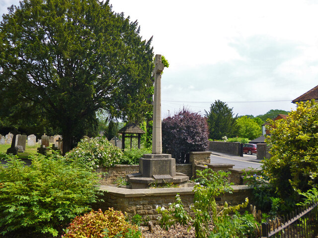
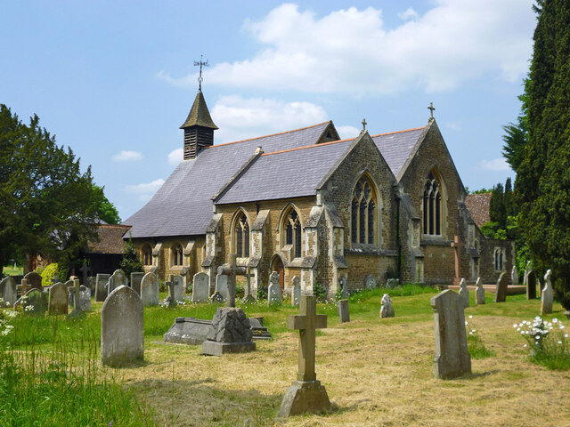
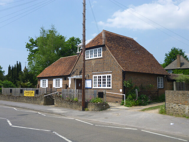
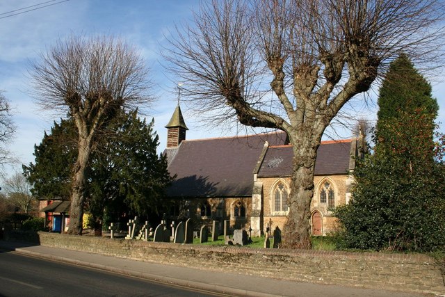
The village is known for its historic buildings and quaint architecture, which date back to the 17th and 18th centuries. The traditional houses, many of which are constructed with local stone, add to the village's unique charm. The centerpiece of Cramhurst is its village green, a well-maintained open space where residents and visitors can relax and enjoy the surrounding beauty.

Cramhurst offers a range of amenities to cater to its residents' needs. The village boasts a local pub, which serves as a social hub for the community, as well as a village shop that provides essential groceries and supplies. The nearby town of Guildford, just a short drive away, offers a wider array of shopping, dining, and entertainment options.

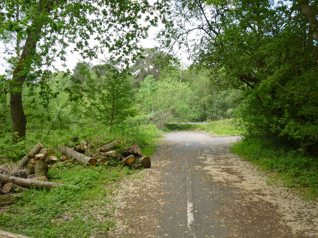
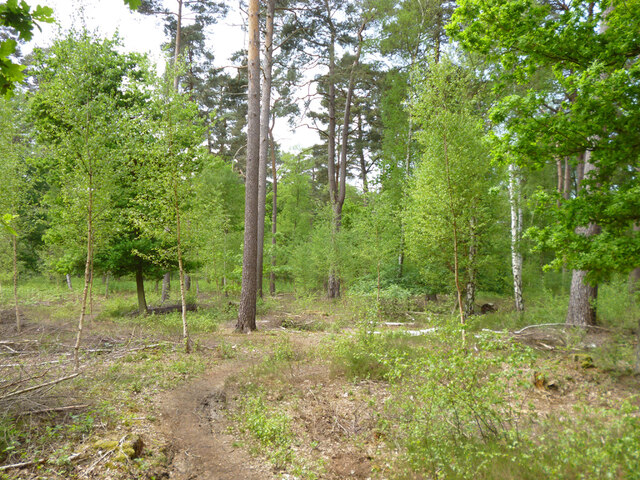
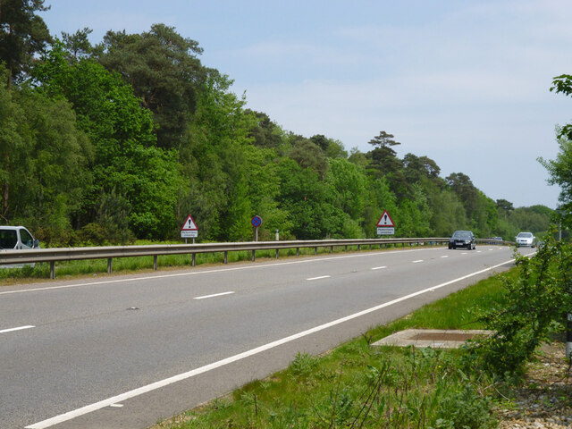
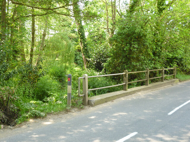
For outdoor enthusiasts, Cramhurst is a paradise. The village is surrounded by rolling hills, verdant meadows, and dense woodlands, making it an ideal location for hiking, cycling, and horseback riding. Popular walking trails, such as the North Downs Way and the Greensand Way, pass through the area, offering stunning views of the countryside.

Cramhurst's idyllic setting and close proximity to London make it an attractive place to live for those seeking a peaceful rural lifestyle while still having access to the amenities of a major city.

If you have any feedback on the listing, please let us know in the comments section below.

Cramhurst Images

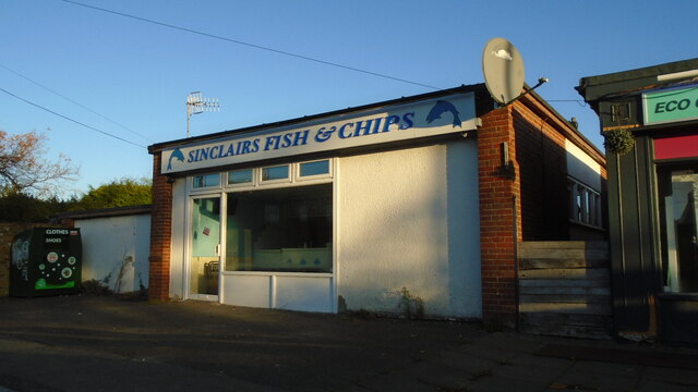
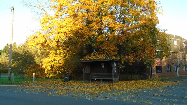
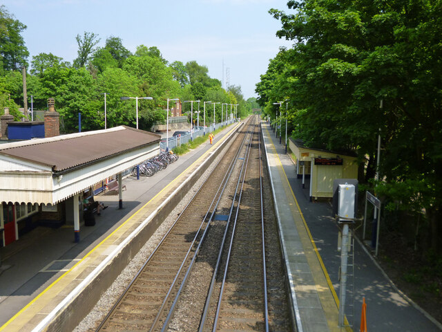
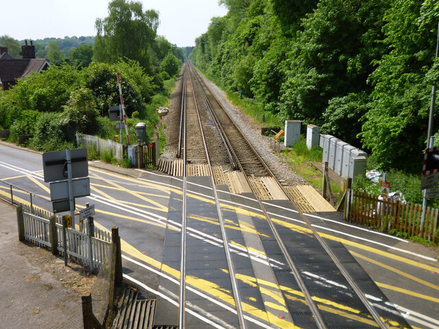
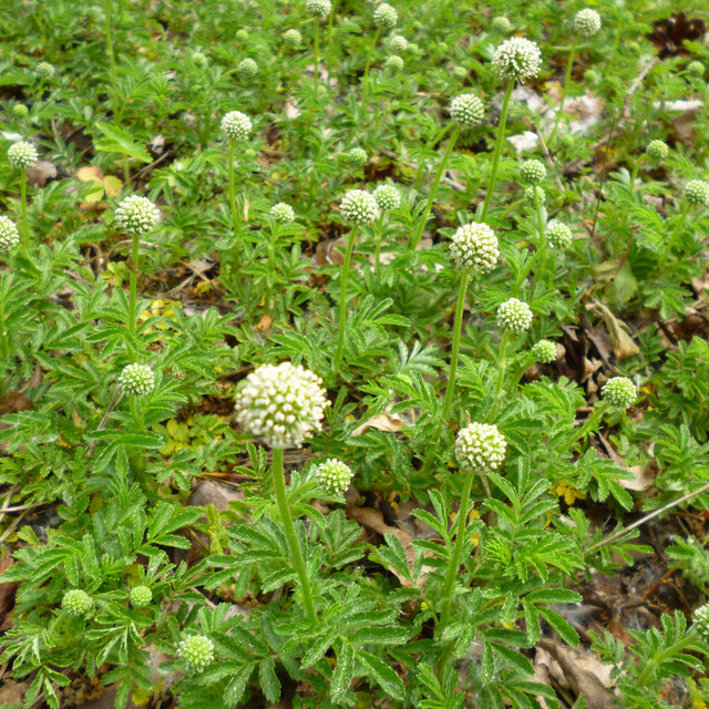
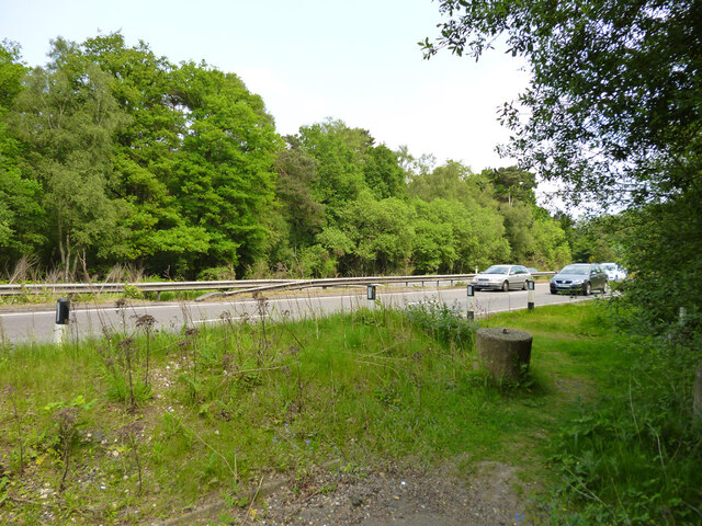
Images are sourced within 2km of 51.160529/-0.65626541 or Grid Reference SU9441. Thanks to Geograph Open Source API. All images are credited.

Chippie in Portsmouth Road Fish and chip shops are a great British institution. In the 16th century Iberian refugees in London began selling white fish fried in a thin coat of flour. Friday became a particularly busy day as both Jews and Catholics wanted cooked fish that day. A hundred years later, Hugenots brought their fondness for fried potato to the capital. Joseph Malin opened the first chippy in Bethnal Green during the 1860s. Today there are more than 10,000 in England alone.
Chippie in Portsmouth Road
Fish and chip shops are a great British institution. In the 16th century Iberian refugees in London began selling white fish fried in a thin coat of flour. Friday became a particularly busy day as both Jews and Catholics wanted cooked fish that day. A hundred years later, Hugenots brought their fondness for fried potato to the capital. Joseph Malin opened the first chippy in Bethnal Green during the 1860s. Today there are more than 10,000 in England alone.
Bus stop at the junction of Guildford and Portsmouth Roads Bus stops range from a simple sign with the number of the bus and the company operating the service to elaborate structures that have an architectural pedigree all of their own. These days they are often linked via computer to the bus and the depot and display the waiting time in minutes.
Bus stop at the junction of Guildford and Portsmouth Roads
Bus stops range from a simple sign with the number of the bus and the company operating the service to elaborate structures that have an architectural pedigree all of their own. These days they are often linked via computer to the bus and the depot and display the waiting time in minutes.
At last!!! Taken at the junction of Roke Lane and Sunnydown as it rains for the first time in MONTHS
At last!!!
Taken at the junction of Roke Lane and Sunnydown as it rains for the first time in MONTHS
Milford station Looking towards London on the Portsmouth Direct Line.
Milford station
Looking towards London on the Portsmouth Direct Line.
Level crossing by Milford station Looking towards Portsmouth on the Portsmouth Direct Line.
Level crossing by Milford station
Looking towards Portsmouth on the Portsmouth Direct Line.
The Star pub, Wheeler Street On the corner of Wheeler Lane and Petworth Road (A283).
The Star pub, Wheeler Street
On the corner of Wheeler Lane and Petworth Road (A283).
Pirri-pirri bur, Acaena novae-zelandiae An alien from New Zealand. The bur stage comes later as the seeds form.  It has clover-like flower heads, but the tiny flowers are not clover-like, nor are the leaves. I have only seen this in similar Surrey locations e.g. <a href="https://www.geograph.org.uk/photo/4971923">SU9167 : Plant in Swinley Forest</a>, although it apparently crops up quite widely.
Pirri-pirri bur, Acaena novae-zelandiae
An alien from New Zealand. The bur stage comes later as the seeds form. It has clover-like flower heads, but the tiny flowers are not clover-like, nor are the leaves. I have only seen this in similar Surrey locations e.g. SU9167 : Plant in Swinley Forest, although it apparently crops up quite widely.
Former Webb Road No longer a road connecting with the A3 beyond, now a bridleway.
Former Webb Road
No longer a road connecting with the A3 beyond, now a bridleway.
End of bridleway 593 and A3 crossing point, Witley Common Bridleway 593 was formerly Webb Road. There is a hazardous crossing point here of the busy dual carriageway to a path parallel with the A3 on the other side.
End of bridleway 593 and A3 crossing point, Witley Common
Bridleway 593 was formerly Webb Road. There is a hazardous crossing point here of the busy dual carriageway to a path parallel with the A3 on the other side.
Witley Common A largely wooded public access common.
Witley Common
A largely wooded public access common.
A3 approaching pedestrian crossing point This is all the protection pedestrians get at the crossing point seen in <a href="https://www.geograph.org.uk/photo/7267969">SU9341 : End of bridleway 593 and A3 crossing point, Witley Common</a>.
A3 approaching pedestrian crossing point
This is all the protection pedestrians get at the crossing point seen in SU9341 : End of bridleway 593 and A3 crossing point, Witley Common.
Milford - war memorial By St. John's church on Church Road.
Milford - war memorial
By St. John's church on Church Road.
Tomb, St. John's churchyard, Milford Several Webbs.
Tomb, St. John's churchyard, Milford
Several Webbs.
St. John's church, Milford
Milford Club, Church Road CIU affiliated.
Milford Club, Church Road
CIU affiliated.
Cut mark on Station Lane bridge over River Ock East parapet south end, 50.025 m above datum.
Cut mark on Station Lane bridge over River Ock
East parapet south end, 50.025 m above datum.
East parapet, Station Lane bridge over River Ock The other side of the road is just railings, suggesting the road has been widened.
East parapet, Station Lane bridge over River Ock
The other side of the road is just railings, suggesting the road has been widened.
Railings, west side of Church Lane bridge over River Ock The other side has an elderly brick parapet.
Railings, west side of Church Lane bridge over River Ock
The other side has an elderly brick parapet.
Show me another place!

Cramhurst is located at Grid Ref: SU9441 (Lat: 51.160529, Lng: -0.65626541)

Administrative County: Surrey

District: Waverley

Police Authority: Surrey

What 3 Words

///unheated.gestures.annotated. Near Witley, Surrey

Nearby Locations

Cramhurst Mousehill

Related Wikis

Rodborough School

Rodborough School is a coeducational secondary school with academy status, located in Milford, Surrey, England. The school is a feeder school for Godalming...

Rodborough Common, Surrey

Rodborough Common is a 62.2-hectare (154-acre) Local Nature Reserve west of Milford in Surrey. It is owned by Surrey County Council and managed by Surrey...

Ockford Ridge

Ockford Ridge is the part of the parish and town of Godalming, Surrey, England west of the London-Portsmouth railway. It has a narrow buffer to the west...

Milford, Surrey

Milford is a village in the civil parish of Witley south west of Godalming in Surrey, England that was a small village in the early medieval period — it...

Milford railway station

Milford railway station is a railway station serving the village of Milford in the English county of Surrey. It is a stop on the Portsmouth Direct Line...

Witley

Witley is a village and civil parish in the Borough of Waverley in Surrey, England centred 2.6 miles (4 km) south west of the town of Godalming and 6.6...

Witley Camp

Witley Military Camp, often simplified to Camp Witley, was a temporary army camp set up on Witley Common, Surrey, England during both the First and Second...
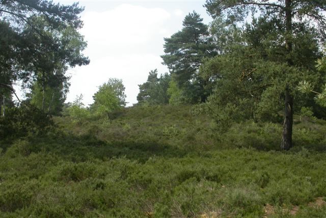
Witley Common

Witley Common is an area of woodland and heath, close to Witley, Surrey, in the United Kingdom. It is part of a much larger Site of Special Scientific...

Nearby Amenities

Located within 500m of 51.160529,-0.65626541
Traffic Signals
Crossing: traffic_signals
Crossing Ref: pelican
Kerb: lowered
Traffic Signals Direction: both
Lat/Long: 51.1627974/-0.650113
Post Box
Operator: Royal Mail
Operator Wikidata: Q638098
Post Box Type: lamp
Ref: GU8 47
Royal Cypher: EIIR
Royal Cypher Wikidata: Q33102113
Lat/Long: 51.1623437/-0.6499105
Bus Stop
Cramhurst Lane
Naptan AtcoCode: 40004411190A
Naptan Bearing: W
Naptan CommonName: Cramhurst Lane
Naptan Indicator: Opp
Naptan Landmark: Cramhurst Lane
Naptan NaptanCode: surdtwta
Naptan Street: Wheeler Lane
Naptan Verified: no
Source: naptan_import
Lat/Long: 51.1565094/-0.6557654
Bus Stop
Cramhurst Lane
Naptan AtcoCode: 40004411190B
Naptan Bearing: E
Naptan CommonName: Cramhurst Lane
Naptan Indicator: adj
Naptan Landmark: Cramhurst Lane
Naptan NaptanCode: surdtwtd
Naptan Street: Gasden Lane
Naptan Verified: no
Source: naptan_import
Lat/Long: 51.1565324/-0.6561938
Bus Stop
Rodborough School
Bus: yes
Naptan AtcoCode: 40004411193A
Naptan Bearing: N
Naptan CommonName: Rodborough School
Naptan Indicator: Opp
Naptan Landmark: Rodborough School
Naptan NaptanCode: surdwadm
Naptan Street: Petworth Road
Naptan Verified: no
Note: This bus shelter has a bench.
Public Transport: platform
Shelter: yes
Source: naptan_import
Lat/Long: 51.1624139/-0.6499731
Bus Stop
Rodborough School
Bench: yes
Bus: yes
Departures Board: no
Naptan AtcoCode: 40004411193B
Naptan Bearing: S
Naptan CommonName: Rodborough School
Naptan Indicator: adj
Naptan Landmark: Rodborough School
Naptan NaptanCode: surdwadp
Naptan Street: Petworth Road
Naptan Verified: no
Note: This bus shelter has a wooden bench.
Public Transport: platform
Shelter: yes
Source: naptan_import
Lat/Long: 51.1621857/-0.6496795
Cramhurst
Place: village
Lat/Long: 51.1584511/-0.6565518
Parking
Lat/Long: 51.1639804/-0.6562708
Milford Heath
Natural: heath
Lat/Long: 51.1627729/-0.6621306
Oxted Green
Natural: heath
Lat/Long: 51.1607813/-0.6585686
Post Box
Collection Plate: CP7D
Collection Times: Mo-Fr 09:00; Sa 07:00
Last Checked: 2020-09-26
Operator: Royal Mail
Post Box Type: lamp
Ref: GU8 138D
Royal Cypher: EIIR
Royal Cypher Wikidata: Q33102113
Source: survey
Lat/Long: 51.1598084/-0.6568189
Post Box
Collection Plate: CP5
Collection Times: Mo-Fr 17:00; Sa 09:30
Last Checked: 2020-09-26
Operator: Royal Mail
Post Box Mounting: brick_pillar
Post Box Type: wall
Ref: GU8 63
Royal Cypher: VR
Royal Cypher Wikidata: Q33102356
Source: survey
Lat/Long: 51.157247/-0.6592232
Waste Basket
Ashtray: yes
Colour: black
Covered: yes
Material: metal
Operator: Waverley Borough Council
Source: survey
Website: https://www.waverley.gov.uk/litter
Lat/Long: 51.1621672/-0.6496589
Grit Bin
Colour: yellow
Material: plastic
Note: For highways use only.
Operator: Surrey County Council
Source: survey
Lat/Long: 51.1606001/-0.6563517
Waste Basket
Ashtray: yes
Colour: black
Covered: yes
Material: metal
Operator: Waverley Borough Council
Source: survey
Website: https://www.waverley.gov.uk/litter
Lat/Long: 51.1624922/-0.6499807
Grit Bin
Colour: yellow
Material: plastic
Note: For highways use only.
Operator: Surrey County Council
Source: survey
Lat/Long: 51.1598045/-0.6567333
Give Way
Direction: backward
Lat/Long: 51.1612556/-0.6492233
Give Way
Direction: backward
Lat/Long: 51.1622295/-0.6498255
The data included in this document is from www.openstreetmap.org. The data is made available under ODbL.

Have you been to Cramhurst?

Leave your review of Cramhurst below (or comments, questions and feedback).