Craig-y-nos
Settlement in Brecknockshire
Wales
Craig-y-nos

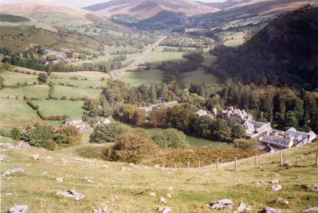
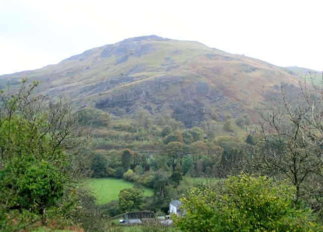
Craig-y-nos is a small village located in the historic county of Brecknockshire in Wales. Nestled in the picturesque upper Swansea Valley, it lies within the Brecon Beacons National Park, offering breathtaking natural beauty and a tranquil atmosphere.
The village is most renowned for its grand Victorian country house, also called Craig-y-nos, which was once home to the world-famous opera singer Adelina Patti. The house, built in the 19th century, is now a popular tourist attraction and a hotel. Its stunning architecture and beautiful gardens attract visitors from near and far.
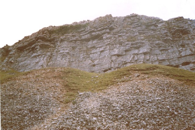
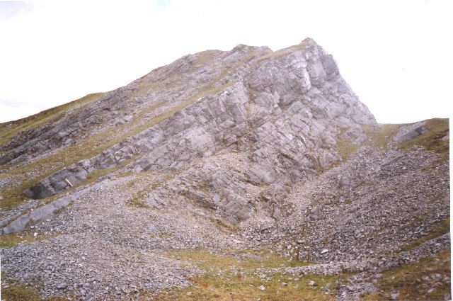
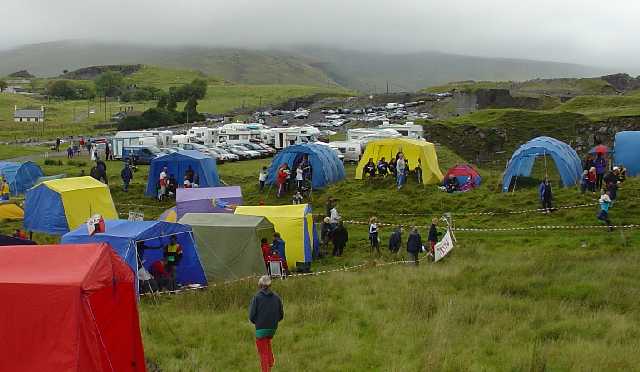
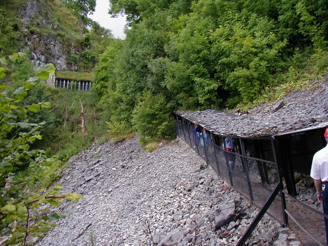
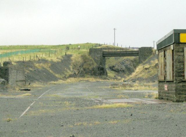
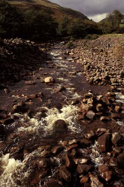
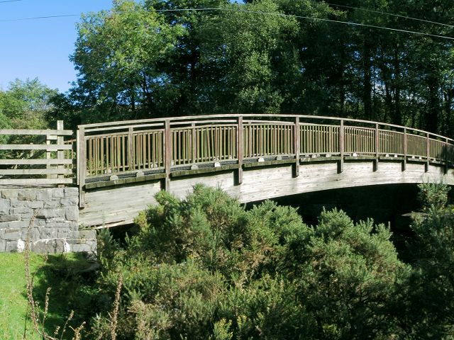
Surrounded by rolling hills and dense forests, Craig-y-nos offers ample opportunities for outdoor activities such as hiking, mountain biking, and bird watching. The nearby Brecon Beacons provide a haven for nature lovers and adventure seekers alike.
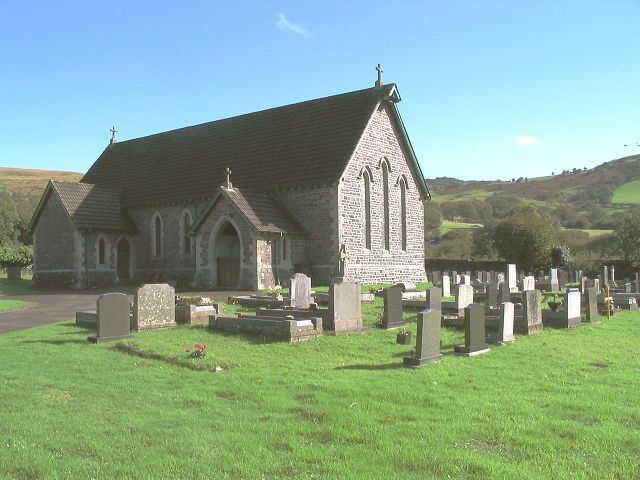
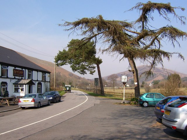
Despite its small size, the village boasts a strong sense of community, with a local pub, a village hall, and a small number of shops. The residents take pride in preserving the heritage and charm of the area.
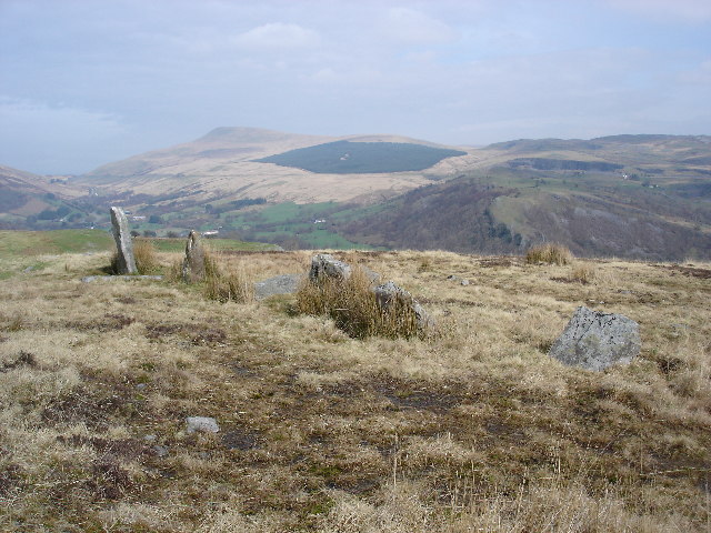
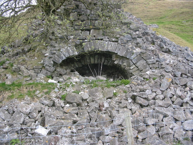
Craig-y-nos is also known for its rich history, with evidence of human habitation dating back thousands of years. Nearby, visitors can explore ancient burial sites, standing stones, and remnants of Iron Age settlements, offering a glimpse into the region's past.
Overall, Craig-y-nos is a hidden gem in the heart of Brecknockshire, offering a peaceful retreat for those seeking natural beauty, history, and a warm community spirit.
If you have any feedback on the listing, please let us know in the comments section below.
Craig-y-nos Images
Images are sourced within 2km of 51.824631/-3.6836599 or Grid Reference SN8415. Thanks to Geograph Open Source API. All images are credited.


Craig-y-nos is located at Grid Ref: SN8415 (Lat: 51.824631, Lng: -3.6836599)
Unitary Authority: Powys
Police Authority: Dyfed Powys
What 3 Words
///gathering.warbler.muddy. Near Seven Sisters, Neath Port Talbot
Nearby Locations
Related Wikis
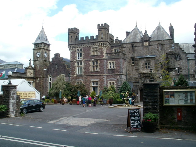
Craig-y-Nos Castle
Craig-y-nos Castle (meaning:Rock of the Night), is a Scots baronial-style country house near Glyntawe in Powys, Wales. Built on parkland beside the River...

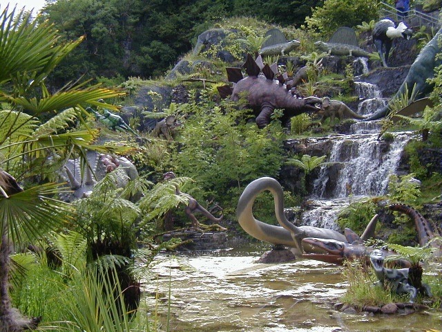
Dan yr Ogof
Dan yr Ogof (Welsh pronunciation: [ˈdan ər ˈoːɡɔv]), at the National Showcaves Centre for Wales, is a 17-kilometre (11 mi) long cave system in south Wales...
Glyntawe
Glyntawe is a hamlet and parish on the upper reaches of the River Tawe in Powys, Wales, in the community of Tawe-Uchaf. It has always been sparsely populated...

River Haffes
The Afon Haffes is a river in Powys, Wales and is wholly contained within the Brecon Beacons National Park (Welsh: Parc Cenedlaethol Bannau Brycheiniog...
Nearby Amenities
Located within 500m of 51.824631,-3.6836599Have you been to Craig-y-nos?
Leave your review of Craig-y-nos below (or comments, questions and feedback).