Craigmill

Settlement in Perthshire

Scotland

Craigmill

Pitch n' put at Airthrey Castle
Pitch n' put at Airthrey Castle Credit: Alan Reid

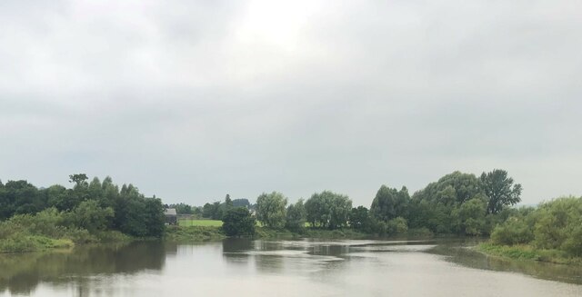
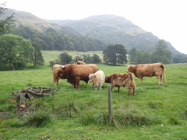
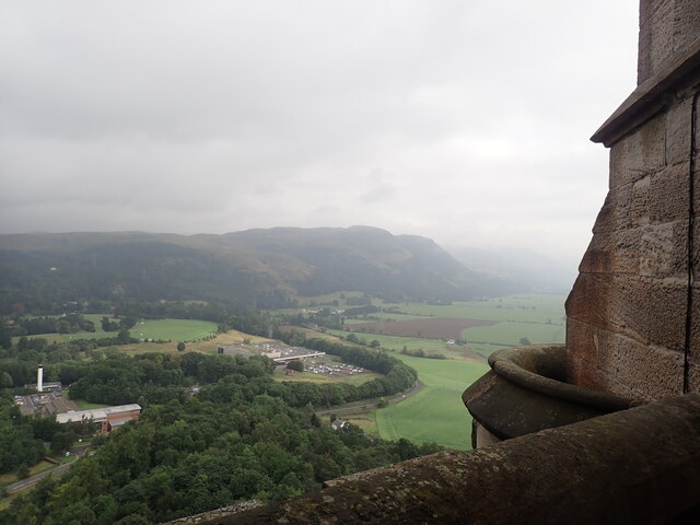
Craigmill is a small village located in the county of Perthshire, Scotland. Situated on the banks of the River Tay, this picturesque village is surrounded by rolling hills and lush green countryside, providing a tranquil setting for its residents and visitors alike.

The village of Craigmill dates back several centuries and has a rich history. Its name is derived from the Gaelic words "craig," meaning rock, and "mill," referring to the presence of a historic mill that once operated in the area. The mill played a vital role in the local economy, grinding grain and providing employment to the villagers.

Today, Craigmill retains its rural charm and offers a peaceful retreat from the hustle and bustle of city life. The village is primarily residential, with a small number of houses and cottages dotting the landscape. The close-knit community fosters a friendly atmosphere, and residents often come together for various social events and gatherings.

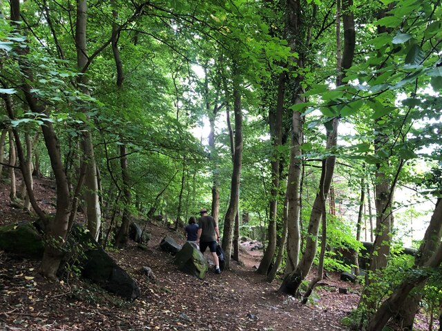
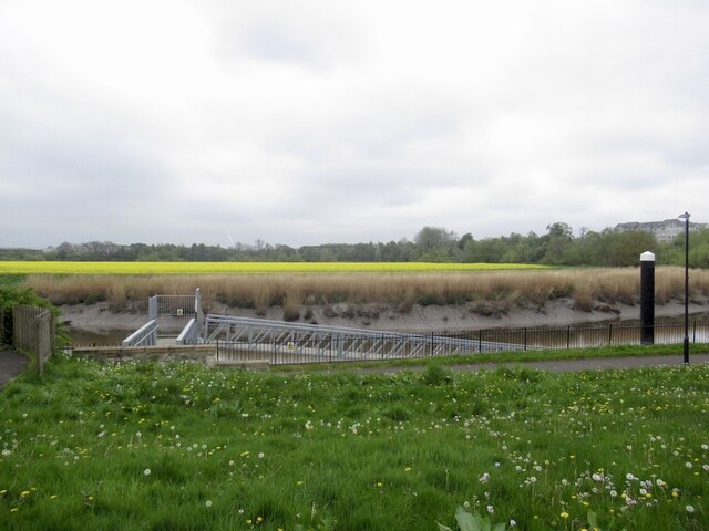
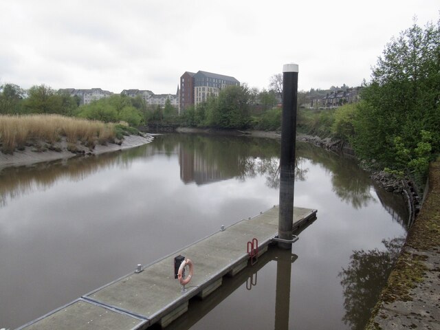
Nature enthusiasts will find plenty to explore in and around Craigmill. The surrounding countryside offers numerous walking trails, where visitors can take in breathtaking views of the river and the nearby hills. The river itself provides opportunities for fishing and boating, attracting outdoor enthusiasts from far and wide.

Despite its small size, Craigmill benefits from its proximity to larger towns and cities. The nearby town of Perth is just a short drive away, providing residents with access to a wider range of amenities, including shops, restaurants, and leisure facilities.

In summary, Craigmill is a charming village nestled in the heart of Perthshire, Scotland. With its beautiful natural surroundings and close-knit community, it offers a tranquil and idyllic setting for both residents and visitors to enjoy.

If you have any feedback on the listing, please let us know in the comments section below.
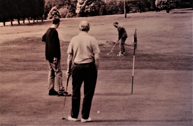
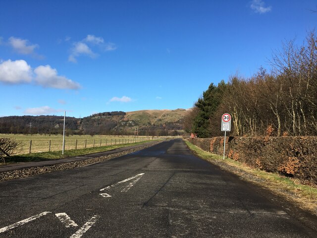
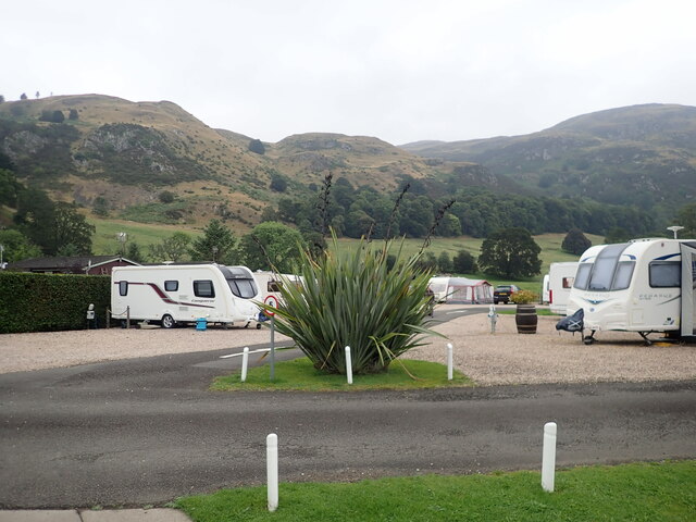
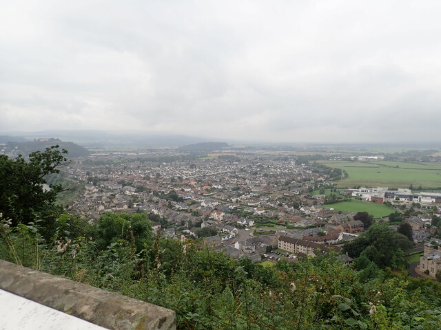
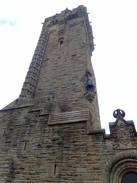
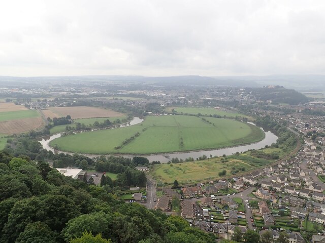
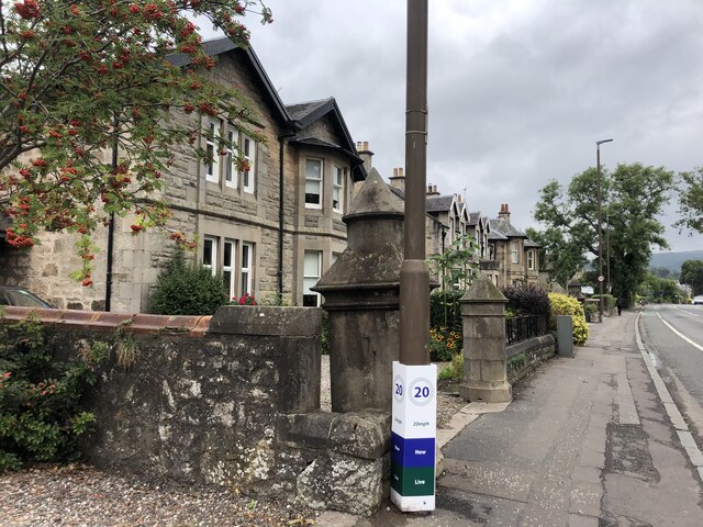
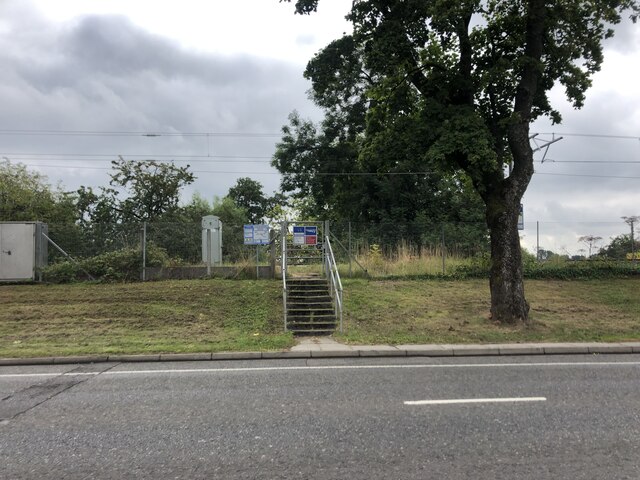
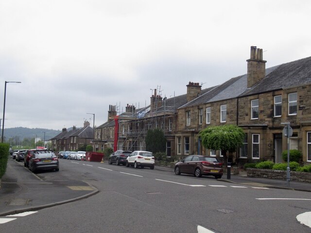
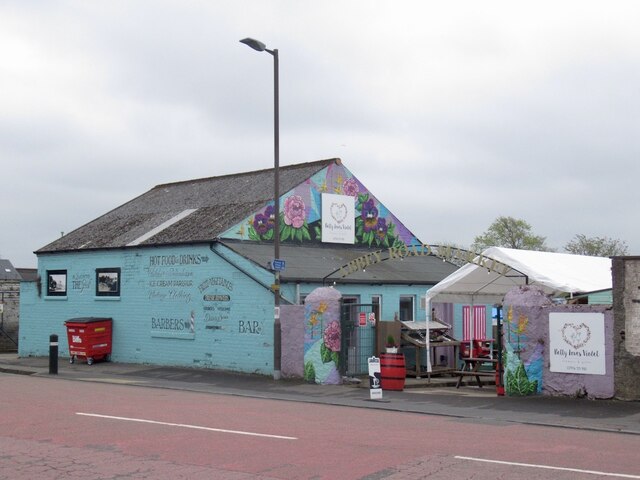
Craigmill Images

Images are sourced within 2km of 56.133808/-3.9084183 or Grid Reference NS8195. Thanks to Geograph Open Source API. All images are credited.

Pitch n' put at Airthrey Castle
Road to Manor Loan
Road to Manor Loan
River Forth Passing Stirling County Cricket Club
River Forth
Passing Stirling County Cricket Club
Highland family Iconic highland cattle near the Witches Craig Caravan Site
Highland family
Iconic highland cattle near the Witches Craig Caravan Site
Witches Craig Caravan & Camping Park Just outside Stirling
Witches Craig Caravan & Camping Park
Just outside Stirling
Looking down on Stirling from the Wallace Memorial
The National Wallace Memorial A 67 metre tower on Abbey Craig, a hilltop overlooking Stirling. It commemorates Sir William Wallace, a 13th- and 14th-century Scottish hero, whose statue is on the corner of the tower. It was sculpted by David Watson Stevenson.
The National Wallace Memorial
A 67 metre tower on Abbey Craig, a hilltop overlooking Stirling. It commemorates Sir William Wallace, a 13th- and 14th-century Scottish hero, whose statue is on the corner of the tower. It was sculpted by David Watson Stevenson.
A loop in the Forth The suburb of Causewayhead to the right of the river, and Stirling Castle atop its hill in the distance. Taken from the top of Abbey Craig.
A loop in the Forth
The suburb of Causewayhead to the right of the river, and Stirling Castle atop its hill in the distance. Taken from the top of Abbey Craig.
View north-east from the Wallace Tower Looking towards the Ochil hills. The factory in the loop of the B998 produces commercial cooking equipment.
View north-east from the Wallace Tower
Looking towards the Ochil hills. The factory in the loop of the B998 produces commercial cooking equipment.
A path through Causewayhead Park woodland
Logie Kirk Hall On Alloa Street
Logie Kirk Hall
On Alloa Street
The William Wallace  Public house at the junction of Airthrey Road and Logie Road.
The William Wallace
Public house at the junction of Airthrey Road and Logie Road.
House on Causewayhead Road
Network Rail access point on Causewayhead Road Not a footpath for the general public but for maintenance work to be carried out on the railway
Network Rail access point on Causewayhead Road
Not a footpath for the general public but for maintenance work to be carried out on the railway
Millar Place, Riverside
Abbey Road Market Shop and cafe, Riverside.
Abbey Road Market
Shop and cafe, Riverside.
Oilseed rape, Cambuskenneth View across the Forth from by the Stirling Council pontoon which is apparently little used.
Oilseed rape, Cambuskenneth
View across the Forth from by the Stirling Council pontoon which is apparently little used.
River Forth, Stirling View from near the pontoon built to encourage traffic up the river.
River Forth, Stirling
View from near the pontoon built to encourage traffic up the river.
Show me another place!

Craigmill is located at Grid Ref: NS8195 (Lat: 56.133808, Lng: -3.9084183)

Unitary Authority: Stirling

Police Authority: Forth Valley

What 3 Words

///savers.ambushed.visions. Near Stirling

Nearby Locations

Craigmill Abbey Craig

Related Wikis

Abbey Craig

The Abbey Craig is the hill upon which the Wallace Monument stands, at Causewayhead, just to the north of Stirling, Scotland. == Physical geography... ==

Wallace Monument

The National Wallace Monument (generally known as the Wallace Monument) is a 67 metres (220 ft) tower on the shoulder of the Abbey Craig, a hilltop overlooking...

Causewayhead (Stirling) railway station

Causewayhead railway station served the suburb of Causewayhead in Stirling, Scotland, from 1852 to 1955 on the Stirling and Dunfermline Railway. ��2�...

Cambuskenneth Abbey

Cambuskenneth Abbey is an Augustinian monastery located on an area of land enclosed by a meander of the River Forth near Stirling in Scotland. The abbey...

New Williamfield

New Williamfield No. 1 Oval is a cricket ground in Stirling, Scotland. The ground is owned and used by Stirling County Cricket Club.The first recorded...

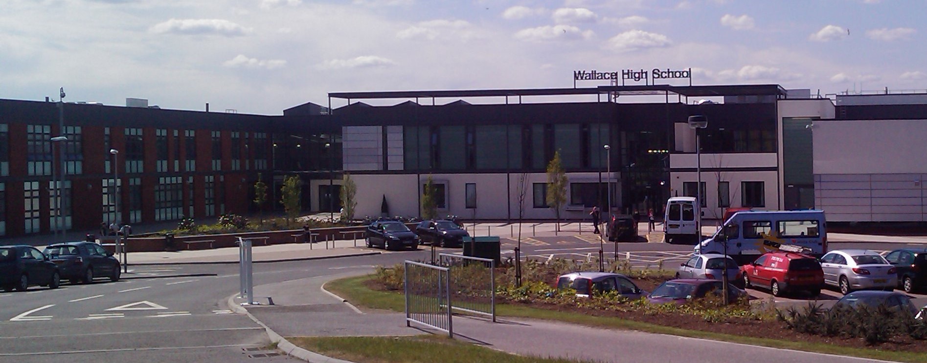
Wallace High School, Stirling

Wallace High School is a non-denominational public secondary school in Causewayhead, Stirling. The school was founded in 1971 to serve Bridge of Allan...

Cambuskenneth

Cambuskenneth (Scottish Gaelic: Camas Choinnich [ˈkʰaməs̪ ˈxɤɲɪç]) is a village in the city of Stirling, Scotland. It has a population of 250 and is the...

Air3 Radio

Air3 Radio is the student radio station of the University of Stirling. Air3 Radio broadcasts a full schedule during normal semester dates (September -...

Nearby Amenities

Located within 500m of 56.133808,-3.9084183
Power: pole
Lat/Long: 56.1339846/-3.9068102
Power: pole
Lat/Long: 56.1331702/-3.906199
Power: pole
Lat/Long: 56.1324137/-3.9056312
Power: pole
Lat/Long: 56.1320673/-3.9053713
Power: pole
Lat/Long: 56.1313624/-3.9048423
Power: pole
Lat/Long: 56.1307003/-3.9043454
Power: pole
Lat/Long: 56.1303178/-3.9039212
Power: pole
Lat/Long: 56.1345514/-3.9072355
Power: pole
Lat/Long: 56.135233/-3.907747
Power: pole
Lat/Long: 56.1359107/-3.9082556
Power: pole
Lat/Long: 56.1365438/-3.9087307
Power: pole
Lat/Long: 56.1304412/-3.9038689
Power: pole
Lat/Long: 56.1308737/-3.9043478
Power: pole
Lat/Long: 56.1314497/-3.9047709
Power: pole
Lat/Long: 56.1320481/-3.9052105
Power: pole
Lat/Long: 56.1325302/-3.9055646
Power: pole
Lat/Long: 56.1332446/-3.9060893
Power: pole
Lat/Long: 56.1339967/-3.9066418
Power: pole
Lat/Long: 56.1345973/-3.907083
Power: pole
Lat/Long: 56.1353069/-3.9076042
Power: pole
Lat/Long: 56.1360215/-3.9081291
Power: pole
Lat/Long: 56.1366973/-3.9086254
Railway: signal
Railway Signal Direction: backward
Railway Signal Main: GB-NR:main
Railway Signal Main Form: light
Ref: SK6524
Lat/Long: 56.1334572/-3.9116127
The data included in this document is from www.openstreetmap.org. The data is made available under ODbL.

Have you been to Craigmill?

Leave your review of Craigmill below (or comments, questions and feedback).