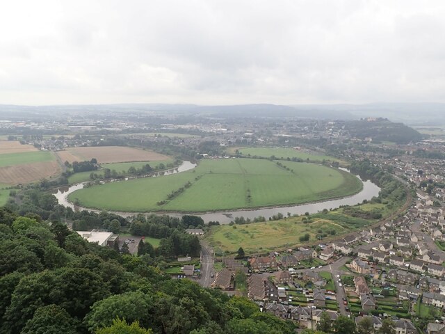
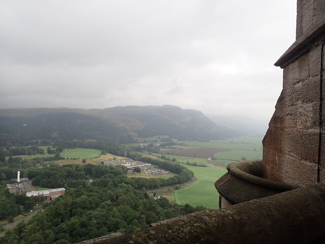
Abbey Craig
Settlement in Perthshire
Scotland
Abbey Craig
The requested URL returned error: 500 Internal Server Error
If you have any feedback on the listing, please let us know in the comments section below.
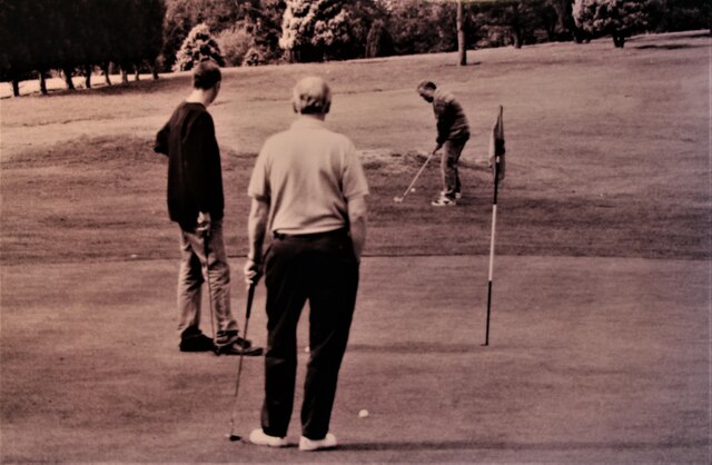
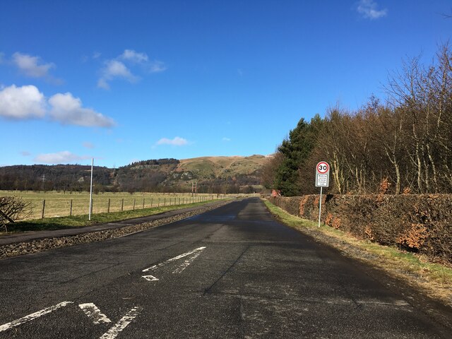
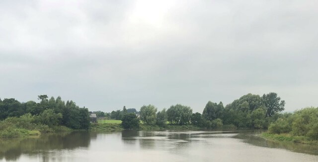
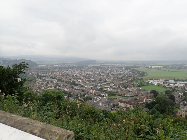
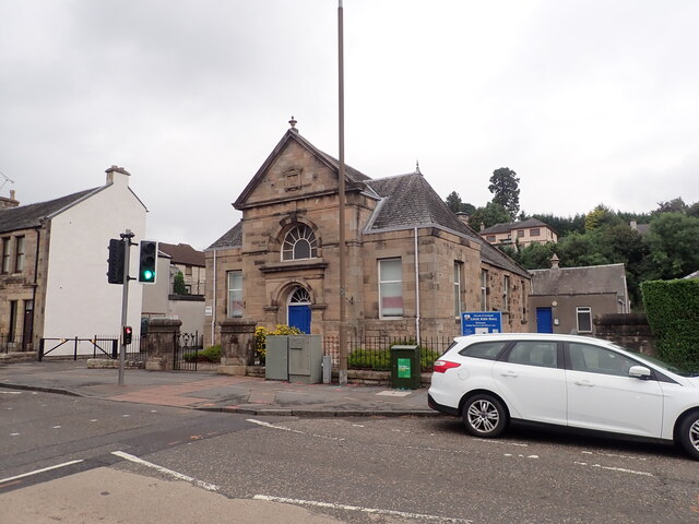
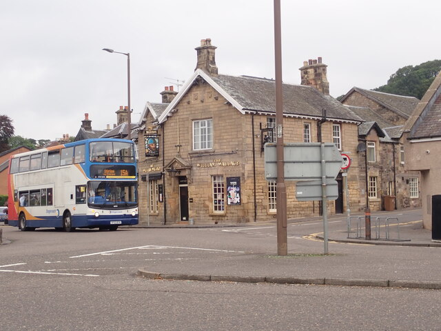
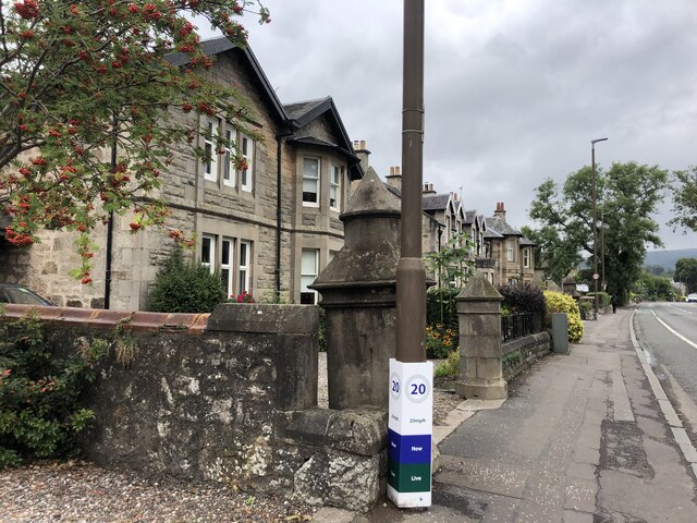
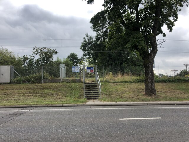
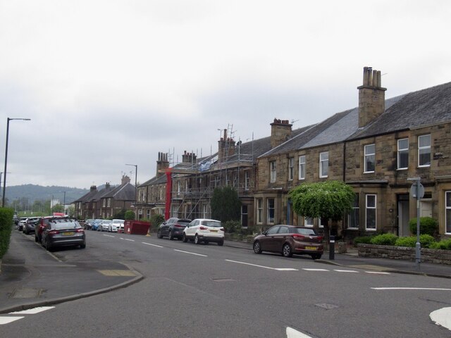
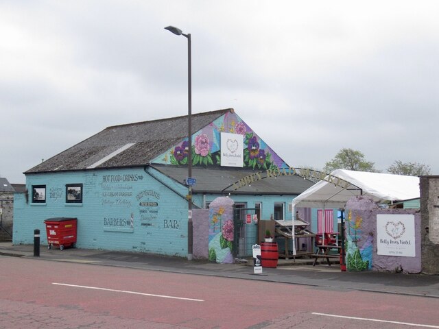
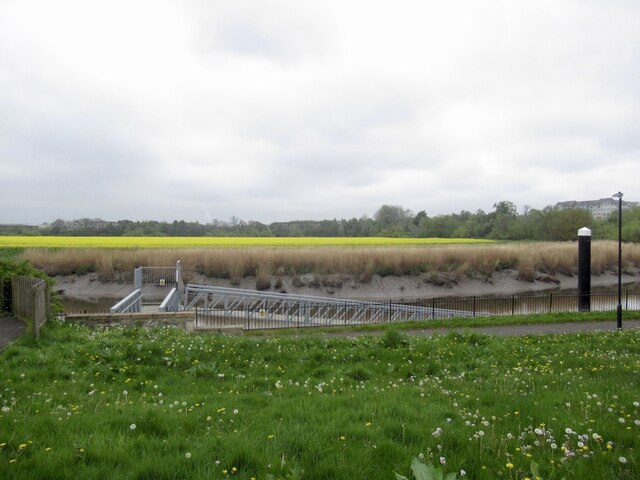
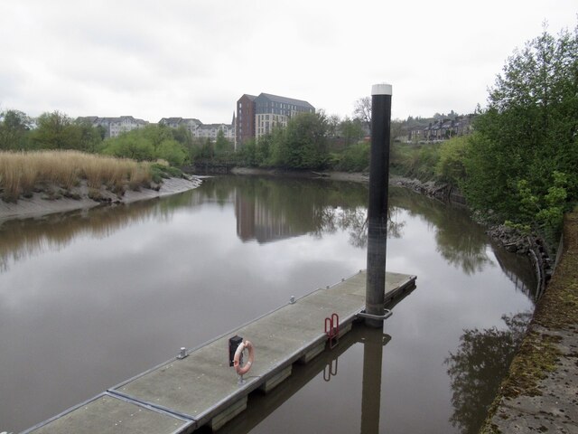
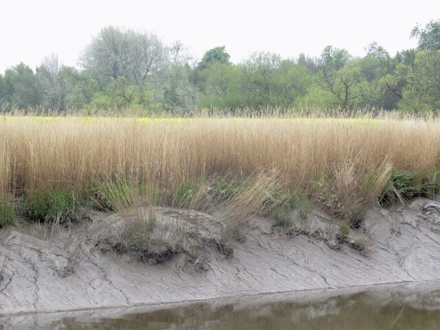
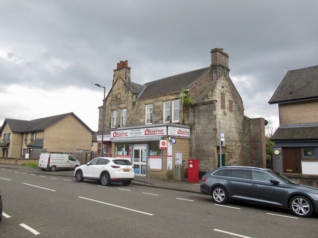
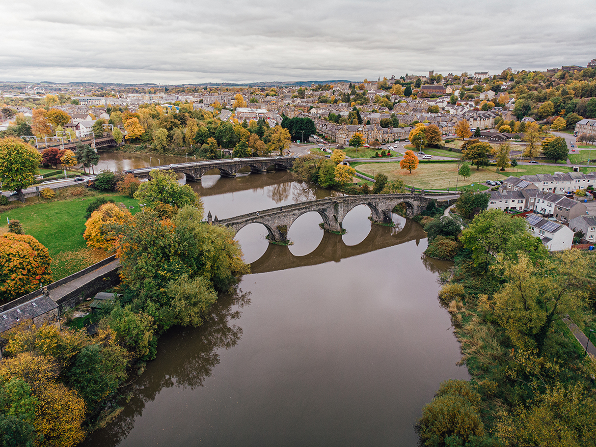
Abbey Craig Images
Images are sourced within 2km of 56.132833/-3.9162712 or Grid Reference NS8195. Thanks to Geograph Open Source API. All images are credited.
Abbey Craig is located at Grid Ref: NS8195 (Lat: 56.132833, Lng: -3.9162712)
Unitary Authority: Stirling
Police Authority: Forth Valley
What 3 Words
///scans.unearthly.crest. Near Stirling
Nearby Locations
Related Wikis

Abbey Craig
The Abbey Craig is the hill upon which the Wallace Monument stands, at Causewayhead, just to the north of Stirling, Scotland. == Physical geography... ==

Causewayhead (Stirling) railway station
Causewayhead railway station served the suburb of Causewayhead in Stirling, Scotland, from 1852 to 1955 on the Stirling and Dunfermline Railway. ��2�...

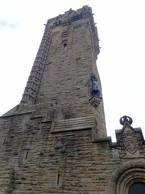
Wallace Monument
The National Wallace Monument (generally known as the Wallace Monument) is a 67 metres (220 ft) tower on the shoulder of the Abbey Craig, a hilltop overlooking...
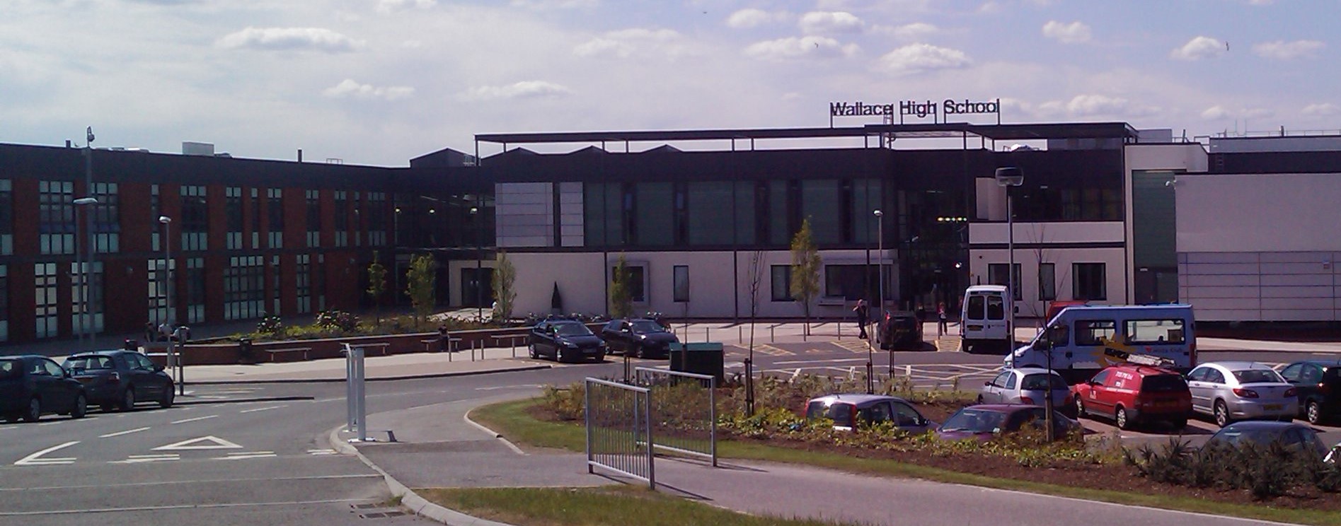
Wallace High School, Stirling
Wallace High School is a non-denominational public secondary school in Causewayhead, Stirling. The school was founded in 1971 to serve Bridge of Allan...

Stirling Rowing Club
Stirling Rowing Club is a rowing club on the River Forth, based at the intersection between Dean Crescent and Queenshaugh Drive, Riverside, Stirling, Scotland...

Cambuskenneth Abbey
Cambuskenneth Abbey is an Augustinian monastery located on an area of land enclosed by a meander of the River Forth near Stirling in Scotland. The abbey...

Cambuskenneth
Cambuskenneth (Scottish Gaelic: Camas Choinnich [ˈkʰaməs̪ ˈxɤɲɪç]) is a village in the city of Stirling, Scotland. It has a population of 250 and is the...
Battle of Stirling Bridge
The Battle of Stirling Bridge (Scottish Gaelic: Blàr Drochaid Shruighlea) was fought during the First War of Scottish Independence. On 11 September 1297...
Related Videos
![The Wallace Monument, Scotland | Relaxing Walking Tour with 3D Binaural Audio [4K]](https://i.ytimg.com/vi/NV3CS-wwAq0/hqdefault.jpg)
The Wallace Monument, Scotland | Relaxing Walking Tour with 3D Binaural Audio [4K]
Become a member to get exclusive access to perks! https://www.youtube.com/channel/UCTeMBB7IwbDAqk7egjmhJMg/join The ...

Inside STIRLING CASTLE walking tour | Scotland walking tour | 4k
Join us for a stroll through Scottish history, inside the incredible walls of Stirling Castle! Stirling Castle is located centrally where ...
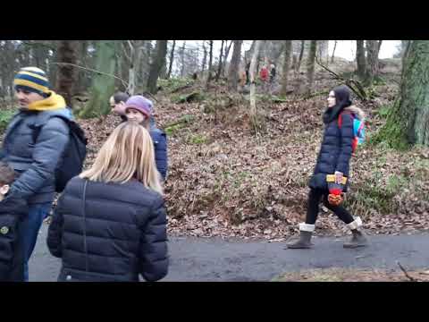
Walking to National Wallace Monument
Walking to National Wallace Monument.
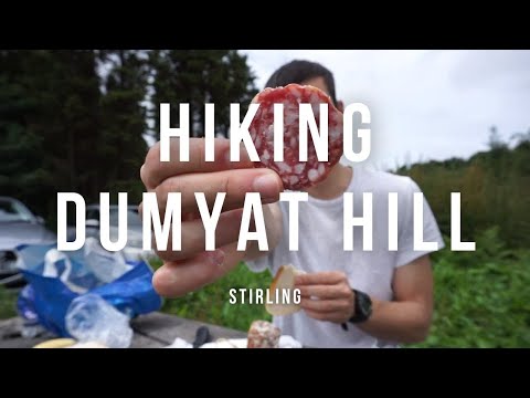
Hiking a DUMYAT HILL nella città storica di STIRLING SCOTTISH DIARIES #8
INSTAGRAM: https://www.instagram.com/iamwalt/
Nearby Amenities
Located within 500m of 56.132833,-3.9162712Have you been to Abbey Craig?
Leave your review of Abbey Craig below (or comments, questions and feedback).