Abbey Dore

Settlement in Herefordshire

England

Abbey Dore

Ponies on Ewyas Harold Common Six Exmoor Ponies, and some sheep, are being used to graze parts of the common. There used to be more grazing on the common but scrub and young woodland has increased in the last few decades.
Ponies on Ewyas Harold Common Credit: Hugh Venables

Abbey Dore is a small village located in Herefordshire, England. Situated in the Golden Valley, the village is surrounded by picturesque countryside and offers a peaceful and idyllic setting for residents and visitors alike.

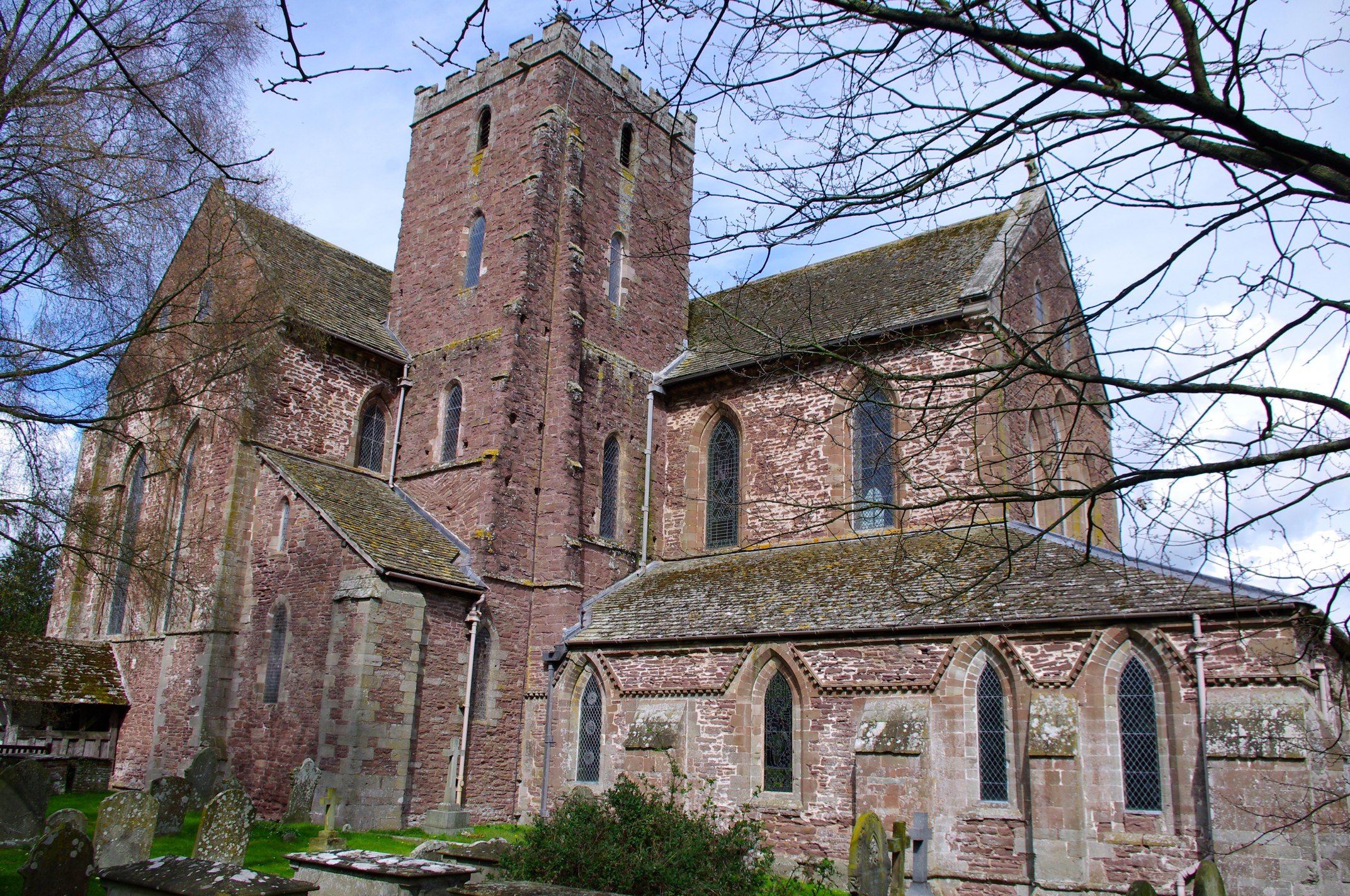
At the heart of Abbey Dore is the historic Cistercian Abbey, which dates back to the 12th century. Its impressive ruins attract tourists from far and wide, who come to admire its architectural beauty and learn about its rich history. The abbey was dissolved during the Dissolution of the Monasteries in the 16th century, but its remains still stand as a testament to its former grandeur.

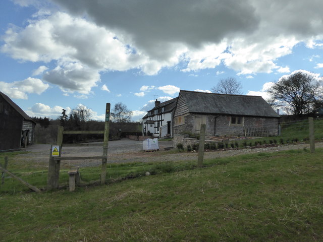
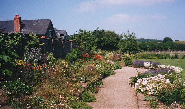
The village itself is a charming place, with traditional stone houses and a close-knit community. There is a village pub, The Abbey Hotel, which is popular among locals and visitors, offering a warm welcome and traditional British fare.

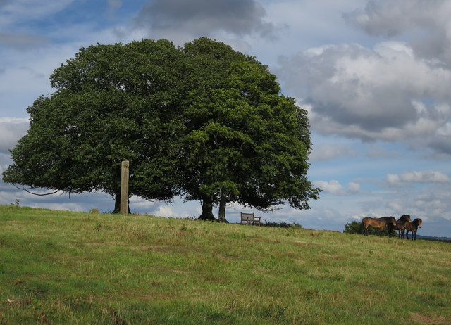
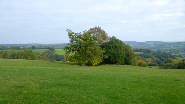
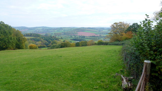
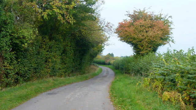
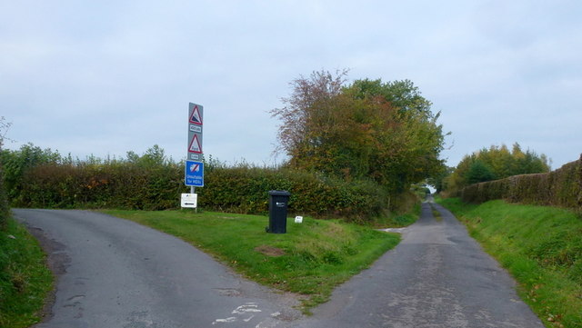
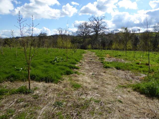
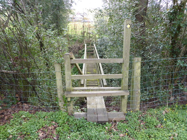
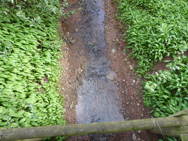
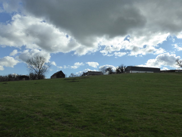
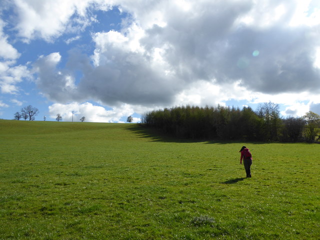
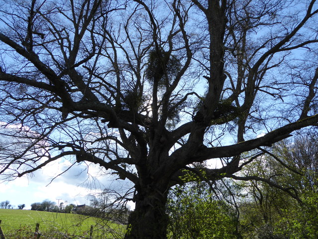
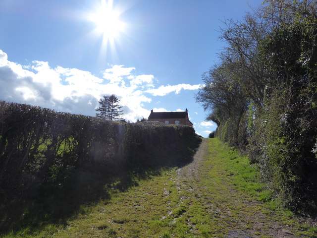
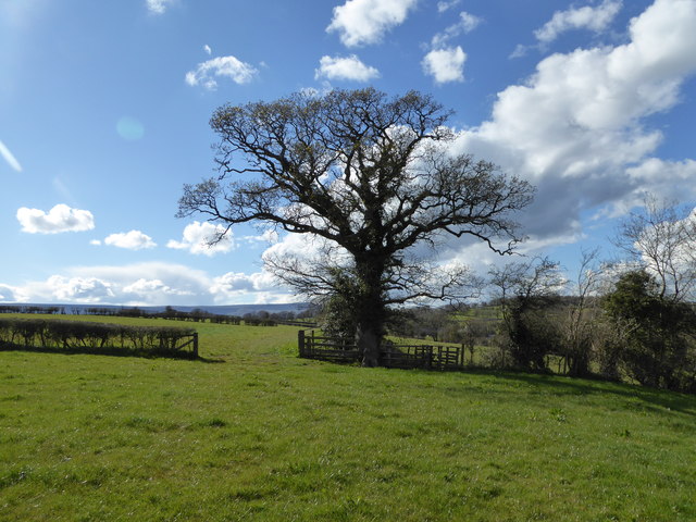
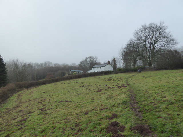
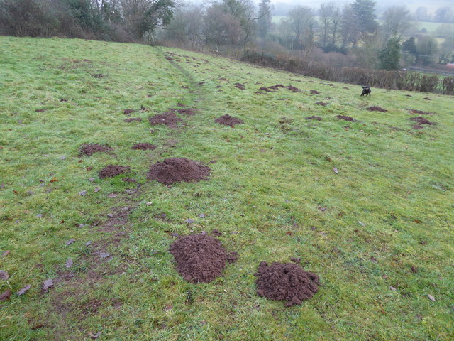
Abbey Dore is also known for its beautiful surrounding countryside, which provides ample opportunities for outdoor activities such as hiking, cycling, and fishing. The Golden Valley is renowned for its scenic beauty, with rolling hills, meandering rivers, and lush green fields.

For those interested in history and architecture, Abbey Dore is a must-visit destination. The village offers a glimpse into the past, with its ancient abbey and well-preserved buildings. Whether it's exploring the abbey ruins, enjoying the tranquility of the countryside, or simply immersing oneself in the village's peaceful atmosphere, Abbey Dore is a hidden gem in Herefordshire.

If you have any feedback on the listing, please let us know in the comments section below.

Abbey Dore Images

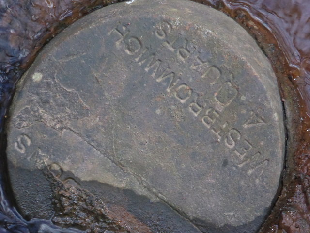
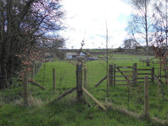
Images are sourced within 2km of 51.96946/-2.8960709 or Grid Reference SO3830. Thanks to Geograph Open Source API. All images are credited.

Ponies on Ewyas Harold Common Six Exmoor Ponies, and some sheep, are being used to graze parts of the common. There used to be more grazing on the common but scrub and young woodland has increased in the last few decades.
Ponies on Ewyas Harold Common
Six Exmoor Ponies, and some sheep, are being used to graze parts of the common. There used to be more grazing on the common but scrub and young woodland has increased in the last few decades.
View over the Golden Valley, 1 Looking north from the Tremorithic Road to the west of Abbey Dore.
View over the Golden Valley, 1
Looking north from the Tremorithic Road to the west of Abbey Dore.
View over the Golden Valley, 2 Looking north from the Tremorithic Road to the west of Abbey Dore.
View over the Golden Valley, 2
Looking north from the Tremorithic Road to the west of Abbey Dore.
Tremorithic Road Looking west, away from Abbey Dore.
Tremorithic Road
Looking west, away from Abbey Dore.
Mill Lane at Tremorithic Road The warning sign is for the ford across the Dulas Brook.
Mill Lane at Tremorithic Road
The warning sign is for the ford across the Dulas Brook.
On the Herefordshire Trail in spring Walking through a young orchard here I think.
On the Herefordshire Trail in spring
Walking through a young orchard here I think.
Wooden footbridge on the Herefordshire Trail This one is old school. More like a Trainasium or Tarzan Course!
Wooden footbridge on the Herefordshire Trail
This one is old school. More like a Trainasium or Tarzan Course!
Stream from the wooden footbridge What is that in the water there?
Stream from the wooden footbridge
What is that in the water there?
Stone disc in the stream I can read West Bromwich 4 quarts - what could this be?
Stone disc in the stream
I can read West Bromwich 4 quarts - what could this be?
On the Herefordshire Trail Passing one of those modernised or converted rural properties that brandish a little too much signage, warning of 'Private Property' etc. Here we get 'No Admittance',  coupled to 'Please keep to the Right of Way, Thank you' and thirdly, 'Please keep your dog on a lead, Thank you'.

It always makes me think that if you move to the country and purchase a home on a public path or waymarked walk you should either purchase elsewhere or expect walkers to respect such givens, with no need to warn. 

It is I feel a sort of suburban paranoia that inspires landowners to issue orders to the orderly. 

And ironically here the homeowner's own dog was off a lead, yapped all the while as we passed and then came out after we had left the precincts to issue barks until we were out of sight. As paranoid, insecure and territorial as his owner maybe?
On the Herefordshire Trail
Passing one of those modernised or converted rural properties that brandish a little too much signage, warning of 'Private Property' etc. Here we get 'No Admittance', coupled to 'Please keep to the Right of Way, Thank you' and thirdly, 'Please keep your dog on a lead, Thank you'. It always makes me think that if you move to the country and purchase a home on a public path or waymarked walk you should either purchase elsewhere or expect walkers to respect such givens, with no need to warn. It is I feel a sort of suburban paranoia that inspires landowners to issue orders to the orderly. And ironically here the homeowner's own dog was off a lead, yapped all the while as we passed and then came out after we had left the precincts to issue barks until we were out of sight. As paranoid, insecure and territorial as his owner maybe?
Uphill approach to Pen-twyn farm Steep field here.
Uphill approach to Pen-twyn farm
Steep field here.
Pen-twyn Little upland place.
Pen-twyn
Little upland place.
Walking in Herefordshire What a day to be out.
Walking in Herefordshire
What a day to be out.
Tree with Mistletoe Tree beside the path here.
Tree with Mistletoe
Tree beside the path here.
Approaching Hollingwood Farm Nice approach.
Approaching Hollingwood Farm
Nice approach.
Oak tree beside the footpath With a footbridge to the side.
Oak tree beside the footpath
With a footbridge to the side.
Property near Dore Abbey Lovely place.
Property near Dore Abbey
Lovely place.
Mole hills in the field The moles have been very active here in the mild winter weather.
Mole hills in the field
The moles have been very active here in the mild winter weather.
Show me another place!

Abbey Dore is located at Grid Ref: SO3830 (Lat: 51.96946, Lng: -2.8960709)

Unitary Authority: County of Herefordshire

Police Authority: West Mercia

What 3 Words

///hobby.improvise.organisms. Near Abbey Dore, Herefordshire

Nearby Locations

Abbey Dore

Related Wikis

Abbey Dore

Abbey Dore is a village and civil parish in Herefordshire, England, known for Dore Abbey, a 12th-century Cistercian abbey, which was expanded in the 13th...

Dore Abbey

Dore Abbey is a former Cistercian abbey in the village of Abbey Dore in the Golden Valley, Herefordshire, England. A large part of the original medieval...

Abbeydore railway station

Abbeydore railway station was a station in Abbey Dore, Herefordshire, England. It was located on the Great Western Railway branch line linking Pontrilas...
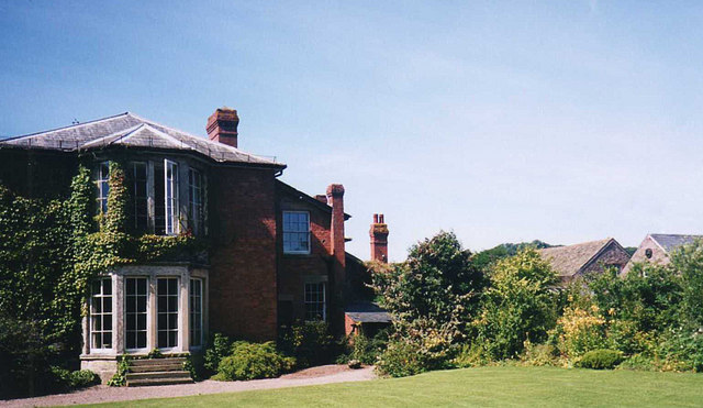
Abbey Dore Court

Abbey Dore Court is a country house in Abbey Dore, Herefordshire, England. It was built in the Golden Valley in 1861 for Thomas Freke Lewis. It includes...

Related Videos

Adventuring from Abbey Dore to Ewyas Harold

Starting at the incredible Cistercian Abbey, we took the fantastic walk up and on to Ewyas Harold common, to the village and back.

LLAMA TREKKING - GOLDEN VALLEY LLAMAS - OLD KING STREET FARM - HEREFORD

llamatrekking #Goldenvalleyllamas #Oldkingstreetfarm #llamas Alesha and "The Bullet" have a great time and make some new ...

Compline at Dore Abbey

The English Choral Experience with Paul Spicer sing Compline on Tuesday 23rd and Thursday 25th July 2019.

Nearby Amenities

Located within 500m of 51.96946,-2.8960709
Abbey Dore
Place: village
Source: npe
Wikidata: Q4663999
Lat/Long: 51.9687761/-2.8967553
Bus Stop
Southview
Naptan AtcoCode: 2090A078200
Naptan Bearing: NE
Naptan CommonName: Southview
Naptan Indicator: adj
Naptan Landmark: N/K
Naptan NaptanCode: heradjmg
Naptan Street: N/K
Naptan Verified: no
Source: naptan_import
Lat/Long: 51.9710308/-2.8975914
Bus Stop
Southview
Naptan AtcoCode: 2090A19063
Naptan Bearing: SW
Naptan BusStopType: CUS
Naptan CommonName: Southview
Naptan Indicator: opp
Naptan Landmark: N/K
Naptan NaptanCode: herajpdw
Naptan Street: N/K
Naptan Verified: no
Source: naptan_import
Lat/Long: 51.970974/-2.8975411
Bus Stop
Village Hall
Naptan AtcoCode: 2090A20962
Naptan Bearing: SE
Naptan CommonName: Village Hall
Naptan Indicator: opp
Naptan Landmark: Village Hall
Naptan NaptanCode: herapwjm
Naptan Street: B4347
Naptan Verified: no
Source: naptan_import
Lat/Long: 51.9704533/-2.8964012
Bus Stop
Village Hall
Naptan AtcoCode: 2090A20964
Naptan Bearing: NW
Naptan BusStopType: CUS
Naptan CommonName: Village Hall
Naptan Indicator: adj
Naptan Landmark: Village Hall
Naptan NaptanCode: herapwjp
Naptan Street: B4348
Naptan Verified: no
Source: naptan_import
Lat/Long: 51.9704549/-2.8964827
Abbeydore
Abandoned Railway: station
Railway: site
Source: NPE
Wikidata: Q4664096
Wikipedia: en:Abbeydore railway station
Lat/Long: 51.9716639/-2.8971236
Barrier: kissing_gate
Source: survey
Lat/Long: 51.9687234/-2.8930588
Barrier: stile
Material: wood
Source: survey
Stile: stepover
Lat/Long: 51.9661499/-2.8945663
Barrier: stile
Material: wood
Stile: stepover
Lat/Long: 51.9717361/-2.8966539
Barrier: kissing_gate
Source: survey
Lat/Long: 51.9688618/-2.8928849
Entrance: yes
Lat/Long: 51.9686436/-2.8937702
Barrier: stile
Material: wood
Source: survey
Stile: stepover
Lat/Long: 51.9678104/-2.8944254
Barrier: stile
Source: survey
Lat/Long: 51.9656381/-2.8944589
Barrier: kissing_gate
Source: survey
Lat/Long: 51.9733195/-2.8933378
Post Box
Collection Times: Mo-Fr 14:45; Sa 08:30; Su off
Drive Through: no
Operator: Royal Mail
Operator Wikidata: Q638098
Post Box Type: lamp
Lat/Long: 51.9701219/-2.8961259
Advertising: board
Lat/Long: 51.9700387/-2.8961041
Power: pole
Lat/Long: 51.9679397/-2.8900479
Power: pole
Lat/Long: 51.9730081/-2.8978801
Power: pole
Lat/Long: 51.9715738/-2.8970043
Power: pole
Lat/Long: 51.9711376/-2.8963593
Power: pole
Lat/Long: 51.9706799/-2.8953642
Power: pole
Lat/Long: 51.9703246/-2.8930011
Power: pole
Lat/Long: 51.9690555/-2.891432
Site of Dore Abbey
Historic: ruins
Tourism: attraction
Lat/Long: 51.9689903/-2.8934063
Abbey Dore Pod
Contact Website: https://tanhousefarmbandb.business.site/
Internet Access: yes
Internet Access Fee: customers
Tourism: chalet
Lat/Long: 51.9695152/-2.8950834
Barrier: stile
Bicycle: no
Foot: yes
Horse: no
Material: wood
Motor Vehicle: no
Stile: stepover
Lat/Long: 51.9670876/-2.8960886
Barrier: stile
Bicycle: no
Foot: yes
Horse: no
Material: wood
Motor Vehicle: no
Stile: large_steps_up_over
Lat/Long: 51.9690404/-2.901243
The data included in this document is from www.openstreetmap.org. The data is made available under ODbL.

Have you been to Abbey Dore?

Leave your review of Abbey Dore below (or comments, questions and feedback).