Abbey Field

Settlement in Essex Colchester

England

Abbey Field

GreyFriars Hotel, Colchester The dinning terraces behind GreyFriars Hotel.
GreyFriars Hotel, Colchester Credit: Rebecca A Wills

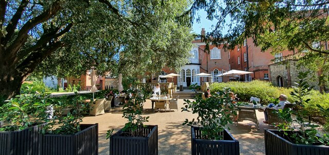
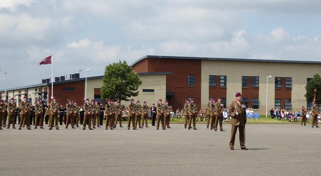
Abbey Field is a picturesque park located in the town of Colchester, Essex, in the southeastern part of England. Spread over an area of approximately 14 acres, this green oasis offers a tranquil escape from the bustling city life. The park is bordered by the River Colne to the east, adding to its scenic beauty.

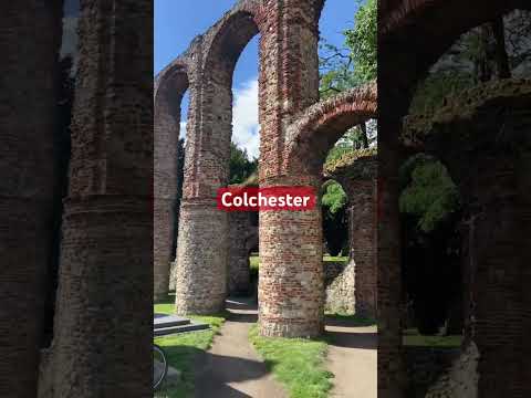
Abbey Field is known for its rich history, as it was once part of the extensive grounds of St. John's Abbey, a Benedictine abbey that was built in the 11th century. The remnants of the abbey can still be seen in the form of ruins, including the remains of the abbey gatehouse and the outer walls. These historical features add a sense of charm and intrigue to the park.

The park is well-maintained and offers a range of amenities and facilities for visitors of all ages. It features well-manicured lawns, flower beds, and a variety of trees, creating a peaceful atmosphere for leisurely walks or picnics with family and friends. There are also several benches scattered throughout the park, providing visitors with the opportunity to sit and enjoy the surrounding natural beauty.

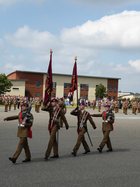
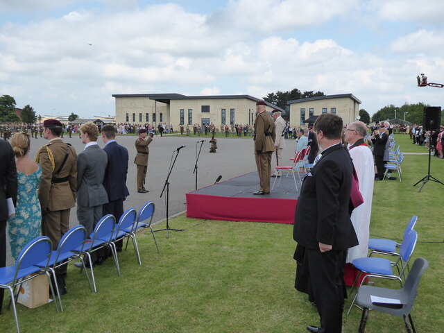
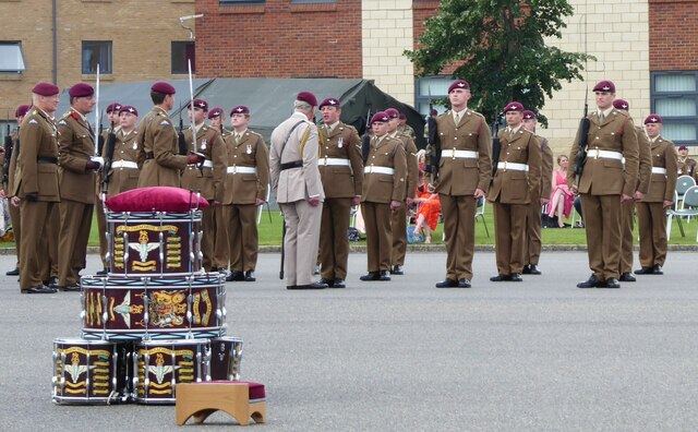
Sports enthusiasts can make use of the park's tennis and basketball courts, as well as the football pitches. Children can have fun exploring the playground, which is equipped with swings, slides, and climbing frames. The park also hosts various events and festivals throughout the year, attracting locals and tourists alike.

Overall, Abbey Field is a delightful green space that combines history, natural beauty, and recreational activities, making it a popular destination for both residents and visitors to Essex.

If you have any feedback on the listing, please let us know in the comments section below.
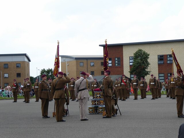
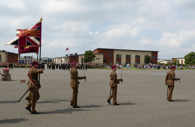
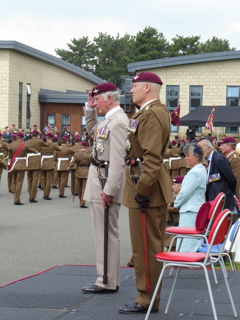
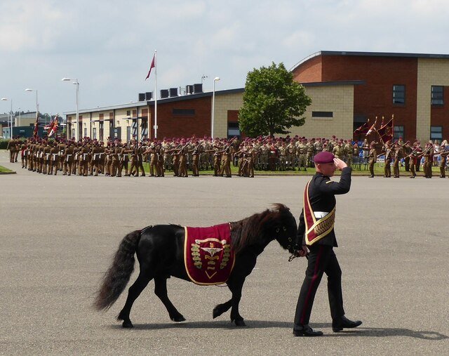
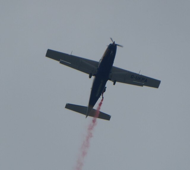
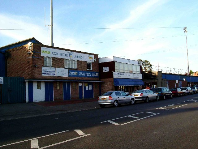
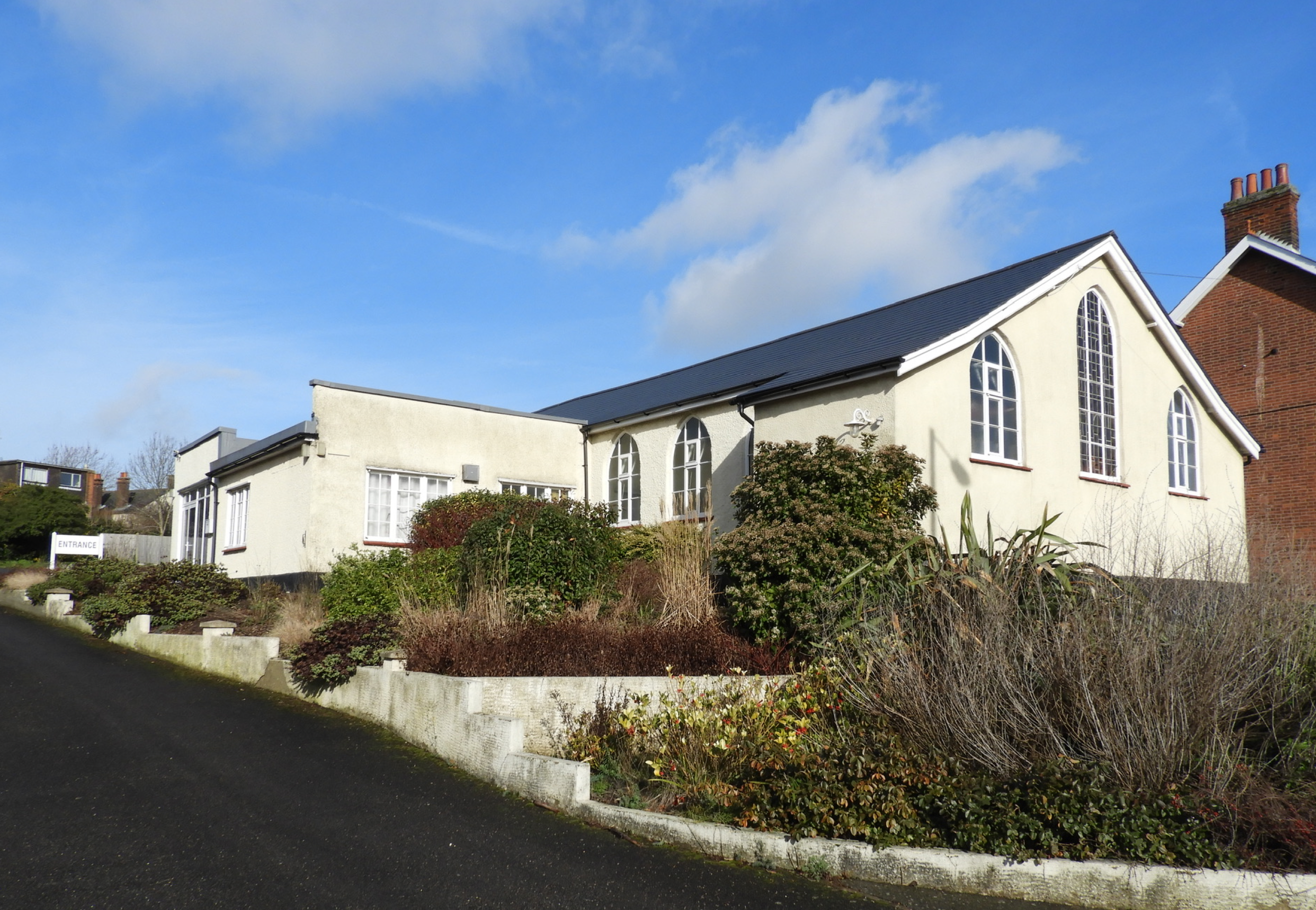
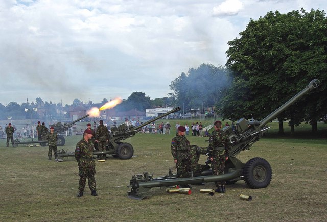
Abbey Field Images

Images are sourced within 2km of 51.879045/0.88975324 or Grid Reference TL9924. Thanks to Geograph Open Source API. All images are credited.

GreyFriars Hotel, Colchester The dinning terraces behind GreyFriars Hotel.
GreyFriars Hotel, Colchester
The dinning terraces behind GreyFriars Hotel.
The 1327 from Colchester arriving at Colchester Town station
Merville Barracks, Colchester A statue of Pegasus and Bellerophon (the symbol of airborne forces) in front of the Headquarters 16 Air Assault Brigade.
Merville Barracks, Colchester
A statue of Pegasus and Bellerophon (the symbol of airborne forces) in front of the Headquarters 16 Air Assault Brigade.
Bellerophon on Pegasus - the official symbol of the Parachute Regiment Overlooking the parade ground at Merville Barracks, Colchester. 
The statue is surrounded by the Parachute Regiment Flag, the Union Flag 
and the Pegasus Airborne Flag.
Bellerophon on Pegasus - the official symbol of the Parachute Regiment
Overlooking the parade ground at Merville Barracks, Colchester. The statue is surrounded by the Parachute Regiment Flag, the Union Flag and the Pegasus Airborne Flag.
Parachute Regiment march onto Parade Square Presentation of Colours Parade begins.
Parachute Regiment march onto Parade Square
Presentation of Colours Parade begins.
Old Colours are marched off the square To be kept in a chapel of remembrance.
Old Colours are marched off the square
To be kept in a chapel of remembrance.
Prince Charles is invited to inspect the front ranks Of the assembled Paratroopers by the Officer Commanding the Parade.
Prince Charles is invited to inspect the front ranks
Of the assembled Paratroopers by the Officer Commanding the Parade.
Prince Charles talks with the Paras The drums await the presentation of new colours.
Prince Charles talks with the Paras
The drums await the presentation of new colours.
The new Colours are formally presented By Prince Charles on behalf of the Queen.
The new Colours are formally presented
By Prince Charles on behalf of the Queen.
The march past with New Colours Past Prince Charles on the dais.
The march past with New Colours
Past Prince Charles on the dais.
Prince Charles takes the salute As the New Colours are paraded past.
Prince Charles takes the salute
As the New Colours are paraded past.
The Regimental Mascot - Pegasus V The pony had been causing problems at the dress rehearsal but a good talking to cured the problem!
The Regimental Mascot - Pegasus V
The pony had been causing problems at the dress rehearsal but a good talking to cured the problem!
The Red Devils arrive overhead With smoke trailing from cannisters on their ankles.
The Red Devils arrive overhead
With smoke trailing from cannisters on their ankles.
Red Devils  In freefall display.
Red Devils
In freefall display.
Red Devil Landing on the parade ground.
Red Devil
Landing on the parade ground.
Red Devil  With an advert for the Parachute Regiment.
Red Devil
With an advert for the Parachute Regiment.
Prince Charles chats with the Red Devils All safely back on the ground!
Prince Charles chats with the Red Devils
All safely back on the ground!
Merville Barracks, Colchester Prince Charles inspecting Paratroopers on parade during the new colours parade on Tuesday 13 July 2021. During the parade the old regimental flags (colours) are marched off the parade square, new colours are blessed and then presented to the battalions. New regimental colours are given around every 25 years.
Merville Barracks, Colchester
Prince Charles inspecting Paratroopers on parade during the new colours parade on Tuesday 13 July 2021. During the parade the old regimental flags (colours) are marched off the parade square, new colours are blessed and then presented to the battalions. New regimental colours are given around every 25 years.
Show me another place!

Abbey Field is located at Grid Ref: TL9924 (Lat: 51.879045, Lng: 0.88975324)

Administrative County: Essex

District: Colchester

Police Authority: Essex

What 3 Words

///melon.fear.kept. Near Colchester, Essex

Nearby Locations

Abbey Field

Related Wikis

Related Videos

Colchester Town Walking Tour | Essex UK

Colchester town Colchester, the oldest town and the first capital of Roman Britain, situated in the country of Essex in Southeast ...

Colchester City - Walking The Roman Wall

Join me for a photographic walk around the old Roman Wall surrounding Colchester City centre in Essex UK.

Nearby Amenities

Located within 500m of 51.879045,0.88975324
Mini Roundabout
Lat/Long: 51.8803239/0.8909501
Mini Roundabout
Direction: clockwise
Lat/Long: 51.8775131/0.8917541
Traffic Signals
Note: mini roundabout recently removed (05/11)
Lat/Long: 51.8800495/0.8861301
Crossing
Crossing: unmarked
Crossing Island: yes
Tactile Paving: yes
Lat/Long: 51.8779913/0.8956317
Post Box
Operator: Royal Mail
Ref: CO2 271
Lat/Long: 51.8764311/0.8838799
Post Box
Operator: Royal Mail
Ref: CO3 242
Lat/Long: 51.8804804/0.8873769
Bus Stop
Abbey Field
Naptan AtcoCode: 150020213
Naptan Bearing: W
Naptan BusStopType: CUS
Naptan CommonName: Abbey Field
Naptan Indicator: Opp
Naptan Landmark: Abbey Field
Naptan NaptanCode: esxjgdwa
Naptan Street: Circular Road South
Naptan Verified: no
Public Transport: platform
Source: naptan_import
Lat/Long: 51.877819/0.8945178
Bus Stop
Abbey Field
Bench: no
Bin: no
Bus: yes
Naptan AtcoCode: 150020215
Naptan Bearing: E
Naptan BusStopType: CUS
Naptan CommonName: Abbey Field
Naptan Indicator: Adj
Naptan Landmark: Abbey Field
Naptan NaptanCode: esxjgdtw
Naptan Street: Circular Road South
Naptan Verified: no
Public Transport: platform
Shelter: no
Source: naptan_import
Tactile Paving: no
Lat/Long: 51.8810149/0.8926525
Bus Stop
Oyster Place
Bus: yes
Naptan AtcoCode: 150033061004
Naptan Bearing: NE
Naptan CommonName: Football Ground
Naptan Crossing: Menin Road
Naptan Indicator: NE-bound
Naptan Landmark: Football Ground
Naptan NaptanCode: esxapamt
Naptan PlusbusZoneRef: CLCHSTR
Naptan Street: Layer Road
Naptan Verified: no
Public Transport: platform
Source: naptan_import
Wheelchair: yes
Lat/Long: 51.8766598/0.8838226
Bus Stop
Oyster Place
Bus: yes
Naptan AtcoCode: 150033061005
Naptan Bearing: SW
Naptan CommonName: Football Ground
Naptan Crossing: Menin Road
Naptan Indicator: SW-bound
Naptan Landmark: Football Ground
Naptan NaptanCode: esxapamw
Naptan PlusbusZoneRef: CLCHSTR
Naptan Street: Layer Road
Naptan Verified: no
Public Transport: platform
Source: naptan_import
Wheelchair: limited
Lat/Long: 51.8770579/0.8844584
Bus Stop
Drury Arms
Bus: yes
Naptan AtcoCode: 150033061006
Naptan Bearing: S
Naptan CommonName: Drury Arms
Naptan Indicator: o/s
Naptan Landmark: Drury Arms
Naptan NaptanCode: esxapapa
Naptan PlusbusZoneRef: CLCHSTR
Naptan Street: Layer Road
Naptan Verified: no
Public Transport: platform
Source: naptan_import
Wheelchair: yes
Lat/Long: 51.8794029/0.8856549
Bus Stop
Hamilton Road
Bench: yes
Bin: no
Bus: yes
Lit: yes
Naptan AtcoCode: 150033061008
Naptan Bearing: SW
Naptan CommonName: Hamilton Road
Naptan Crossing: Hamilton Road
Naptan Indicator: Adj
Naptan Landmark: Hamilton Road
Naptan NaptanCode: esxapapg
Naptan PlusbusZoneRef: CLCHSTR
Naptan Street: Butt Road
Naptan Verified: no
Public Transport: platform
Shelter: yes
Source: naptan_import
Tactile Paving: no
Wheelchair: limited
Lat/Long: 51.8812041/0.8884879
Bus Stop
Hamilton Road
Bus: yes
Naptan AtcoCode: 150033061009
Naptan Bearing: NE
Naptan CommonName: Hamilton Road
Naptan Crossing: Hamilton Road
Naptan Indicator: Opp
Naptan Landmark: Hamilton Road
Naptan NaptanCode: esxapapj
Naptan PlusbusZoneRef: CLCHSTR
Naptan Street: Butt Road
Naptan Verified: no
Public Transport: platform
Source: naptan_import
Wheelchair: limited
Lat/Long: 51.8815112/0.8887982
Bus Stop
Drury Arms
Bus: yes
Naptan AtcoCode: 1500IM2348
Naptan Bearing: NE
Naptan CommonName: Drury Arms
Naptan Indicator: Opp
Naptan Landmark: Drury Arms
Naptan NaptanCode: esxapapd
Naptan PlusbusZoneRef: CLCHSTR
Naptan Street: Layer Road
Naptan Verified: no
Public Transport: platform
Shelter: yes
Source: naptan_import
Wheelchair: limited
Lat/Long: 51.8796087/0.8856971
Turning Circle
Lat/Long: 51.8775923/0.8841685
Mini Roundabout
Lat/Long: 51.8800576/0.8872381
Mini Roundabout
Lat/Long: 51.8797689/0.8880417
Crossing
Bicycle: designated
Button Operated: yes
Crossing: traffic_signals
Crossing Island: no
Lat/Long: 51.8816748/0.8891106
Barrier: bollard
Bicycle: yes
Bollard: removable
Material: metal
Motor Vehicle: no
Lat/Long: 51.8773352/0.8877825
Bus Stop
Goojerat Road
Bench: yes
Bin: no
Bus: yes
Naptan AtcoCode: 1500330610Y1
Naptan NaptanCode: esxjmgdj
Public Transport: platform
Shelter: yes
Source: naptan
Tactile Paving: no
Lat/Long: 51.8786485/0.8912972
Bus Stop
Circular Road North
Bus: yes
Naptan AtcoCode: 1500330611Y0
Naptan NaptanCode: esxjmgda
Public Transport: platform
Source: naptan
Lat/Long: 51.8808754/0.8906151
Bus Stop
Circular Road North
Bus: yes
Naptan AtcoCode: 150033061100
Naptan NaptanCode: esxjmgdg
Public Transport: platform
Source: naptan
Lat/Long: 51.8812843/0.8897777
Bus Stop
Goojerat Road
Bench: yes
Bin: no
Bus: yes
Naptan AtcoCode: 150033061101
Naptan NaptanCode: esxjmgdm
Public Transport: platform
Shelter: yes
Source: naptan
Tactile Paving: no
Lat/Long: 51.8788348/0.8910341
Pharmacy
Cavalry Road Pharmacy
Dispensing: yes
Healthcare: pharmacy
Lat/Long: 51.8823518/0.8931824
Barrier: bollard
Bicycle: designated
Bollard: fixed
Foot: designated
Material: wood
Motor Vehicle: no
Lat/Long: 51.8769671/0.8895606
Bench
Backrest: yes
Material: plastic
Lat/Long: 51.8771676/0.8902168
Bench
Backrest: yes
Material: plastic
Lat/Long: 51.8771633/0.8901672
Bench
Backrest: no
Material: wood
Lat/Long: 51.8773263/0.8897205
Bench
Backrest: yes
Material: plastic
Lat/Long: 51.8773435/0.8897066
Waste Basket
Material: wood
Waste: mixed
Lat/Long: 51.8773347/0.889705
Barrier: bollard
Bicycle: designated
Bollard: fixed
Foot: designated
Material: wood
Lat/Long: 51.8775516/0.8897078
Barrier: bollard
Bollard: fixed
Material: wood
Lat/Long: 51.8775663/0.8905759
The data included in this document is from www.openstreetmap.org. The data is made available under ODbL.

Have you been to Abbey Field?

Leave your review of Abbey Field below (or comments, questions and feedback).