Cowey Green

Settlement in Essex Tendring

England

Cowey Green

Ride to Mill Wood The paths in The Woodland Trust's Elmstead Market wood are mowed about 3 times a year to keep them passable. Beside this one you can see <a href="https://www.geograph.org.uk/photo/7580638">TM0725 : Toadflax & Black knapweed</a> growing.
Ride to Mill Wood Credit: Glyn Baker

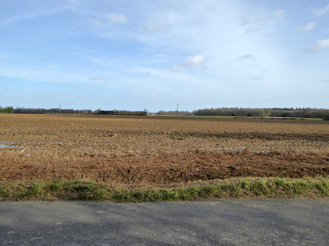
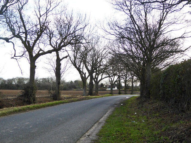
Cowey Green is a small village located in the Uttlesford district of Essex, England. Situated approximately 10 miles northwest of the county town of Chelmsford, it is nestled in a rural setting surrounded by picturesque fields and countryside. The village is predominantly residential, with a population of around 300 residents.

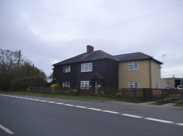
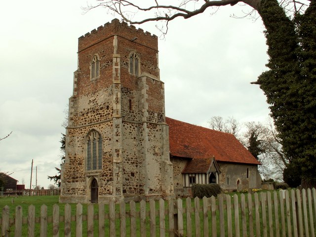
Characterized by its charming and idyllic atmosphere, Cowey Green retains a strong sense of community spirit. The village is home to a number of traditional thatched cottages, which add to its quaint and timeless appeal. The architecture reflects the area's rich heritage, with some properties dating back to the 17th century.

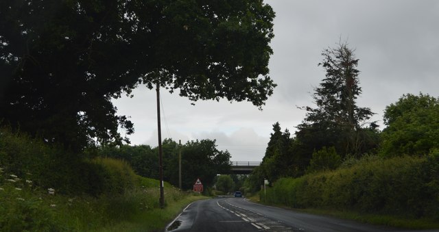
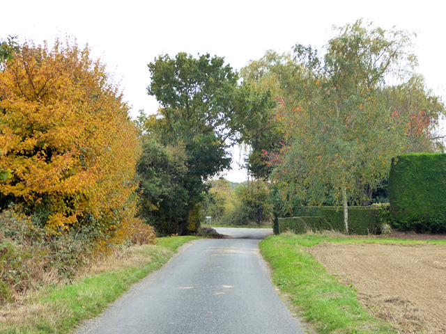
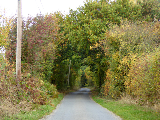
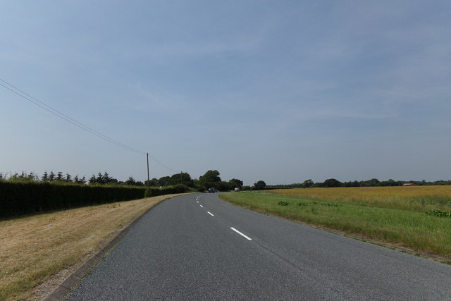
Although small in size, Cowey Green boasts a few amenities for its residents. These include a local primary school, a village hall, and a small pub that serves as a focal point for social gatherings. The village is also fortunate to be surrounded by an abundance of natural beauty, offering residents and visitors the opportunity to explore the surrounding countryside through walking and cycling trails.

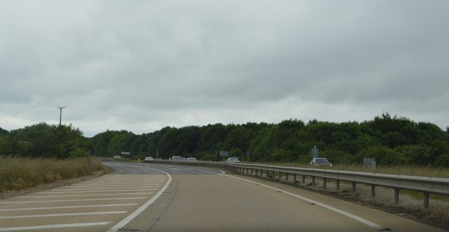
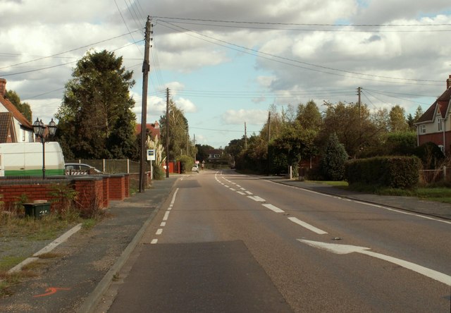
Despite its rural setting, Cowey Green benefits from good transportation links. The nearby A130 and A120 provide easy access to larger towns and cities, making commuting and travel convenient for residents.

In summary, Cowey Green is a charming and close-knit village set in the tranquil Essex countryside. Its historic buildings, community spirit, and stunning surroundings make it an attractive place for those seeking a peaceful and idyllic lifestyle.

If you have any feedback on the listing, please let us know in the comments section below.
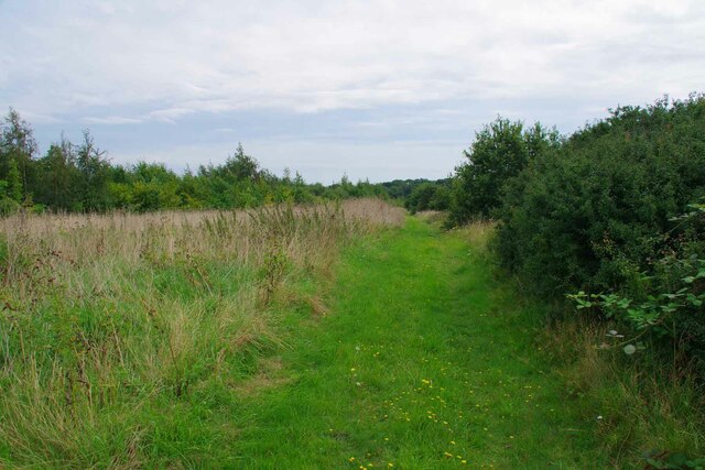
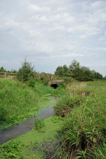
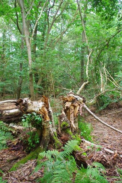
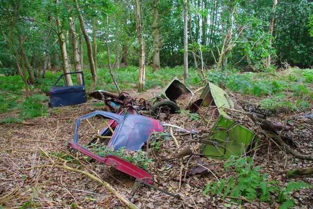
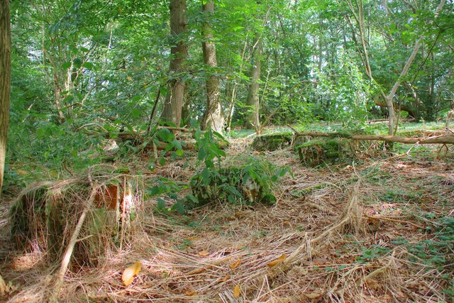
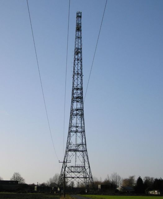
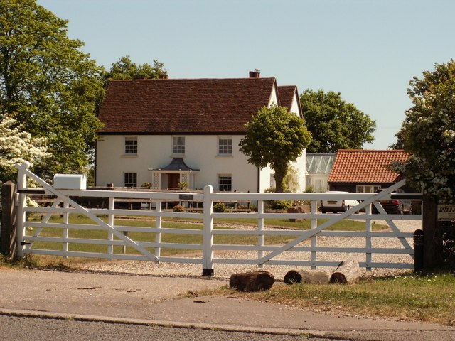
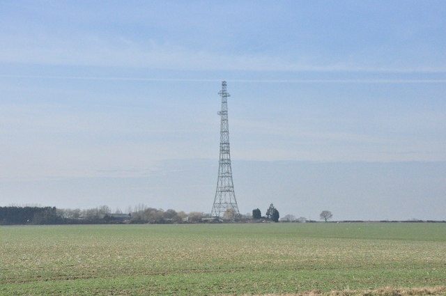
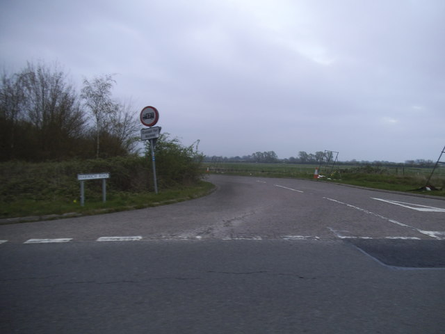
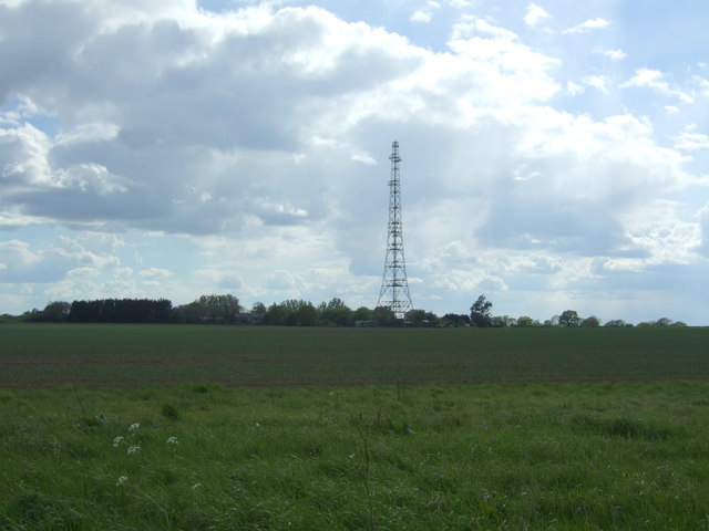
Cowey Green Images

Images are sourced within 2km of 51.892405/1.0373217 or Grid Reference TM0925. Thanks to Geograph Open Source API. All images are credited.

Ride to Mill Wood The paths in The Woodland Trust's Elmstead Market wood are mowed about 3 times a year to keep them passable. Beside this one you can see <a href="https://www.geograph.org.uk/photo/7580638">TM0725 : Toadflax & Black knapweed</a> growing.
Ride to Mill Wood
The paths in The Woodland Trust's Elmstead Market wood are mowed about 3 times a year to keep them passable. Beside this one you can see TM0725 : Toadflax & Black knapweed growing.
Bridge over Tenpenny Brook Looking upstream towards where this water course would be Bromley Brook. I am not exactly sure which confluence precipitates the name change.
Bridge over Tenpenny Brook
Looking upstream towards where this water course would be Bromley Brook. I am not exactly sure which confluence precipitates the name change.
Mill Wood Mill Wood is managed with a light touch by the Woodland Trust <span class="nowrap"><a title="https://www.woodlandtrust.org.uk/" rel="nofollow ugc noopener" href="https://www.woodlandtrust.org.uk/">Link</a><img style="margin-left:2px;" alt="External link" title="External link - shift click to open in new window" src="https://s1.geograph.org.uk/img/external.png" width="10" height="10"/></span>.
Mill Wood
Mill Wood is managed with a light touch by the Woodland Trust LinkExternal link.
Mullered Mercedes in Mill Wood This pile of scrap long predates the Woodland Trusts stewardship of Mill Wood. At first I thought the remains of the car were a 1950's Vauxhall until I spied the iconic three pointed star engraved on the remains of the wiper motor.
Mullered Mercedes in Mill Wood
This pile of scrap long predates the Woodland Trusts stewardship of Mill Wood. At first I thought the remains of the car were a 1950's Vauxhall until I spied the iconic three pointed star engraved on the remains of the wiper motor.
Remains of a Brick Structure in Mill Wood I assume this was once a barn or livestock shed in Mill Wood., just the footings of the walls remain.
Remains of a Brick Structure in Mill Wood
I assume this was once a barn or livestock shed in Mill Wood., just the footings of the walls remain.
Radio mast just off Hilliards Road. Right on the boundary of Great Bromley and Little Bromley civil parishes. Can also be seen in the <a href="https://www.geograph.org.uk/photo/126105">TM1226 : Pylon</a> photo.
Radio mast
just off Hilliards Road. Right on the boundary of Great Bromley and Little Bromley civil parishes. Can also be seen in the TM1226 : Pylon photo.
The farmhouse at Clip Hedge Farm
Radio Transmitter, Little Bromley Across open fields to the mast.
Radio Transmitter, Little Bromley
Across open fields to the mast.
A120, eastbound The A120 is a trunk road that runs east-west across East Anglia from Harwich to Puckeridge, 63 miles in length. It follows the route of the Roman Road, Stane Street. <span class="nowrap"><a title="http://www.sabre-roads.org.uk/wiki/index.php?title=A120" rel="nofollow ugc noopener" href="http://www.sabre-roads.org.uk/wiki/index.php?title=A120">Link</a><img style="margin-left:2px;" alt="External link" title="External link - shift click to open in new window" src="https://s1.geograph.org.uk/img/external.png" width="10" height="10"/></span>
A120, eastbound
The A120 is a trunk road that runs east-west across East Anglia from Harwich to Puckeridge, 63 miles in length. It follows the route of the Roman Road, Stane Street. LinkExternal link
Harwich Rd
Harwich Rd
Honeypot Lane Nearing its eastern end. Despite what map makers maintain, this lane is signed as Honeypot Lane from the right angled bend where the bridleway Cock Lane strikes off, up to the junction ahead.
Honeypot Lane
Nearing its eastern end. Despite what map makers maintain, this lane is signed as Honeypot Lane from the right angled bend where the bridleway Cock Lane strikes off, up to the junction ahead.
Hilliards Road Heading north.
Hilliards Road
Heading north.
Harwich Road near Little Bentley
Houses on Harwich Road, Raven's Green
Crop field towards communications mast View from Bentley Road.
Crop field towards communications mast
View from Bentley Road.
Harwich Road, Hare Green Near Clip Hedge Farm
Harwich Road, Hare Green
Near Clip Hedge Farm
Ploughed field north of Raven's Green
Lane towards Raven's Green
Show me another place!

Cowey Green is located at Grid Ref: TM0925 (Lat: 51.892405, Lng: 1.0373217)

Administrative County: Essex

District: Tendring

Police Authority: Essex

What 3 Words

///paused.tabs.neon. Near Elmstead Market, Essex

Nearby Locations

Cowey Green

Related Wikis

Great Bromley

Great Bromley is a village and civil parish in the Tendring district of Essex, England. It lies 6 kilometres (4 mi) south of Manningtree and 9 kilometres...

Hare Green

Hare Green is a hamlet on Harwich Road, in the Tendring district, in the English county of Essex. In 2018 it had an estimated population of 707. Hare Green...

St Mary the Virgin's Church, Little Bromley

St Mary the Virgin's Church is a former Anglican church near the village of Little Bromley, Essex, England. It is recorded in the National Heritage List...
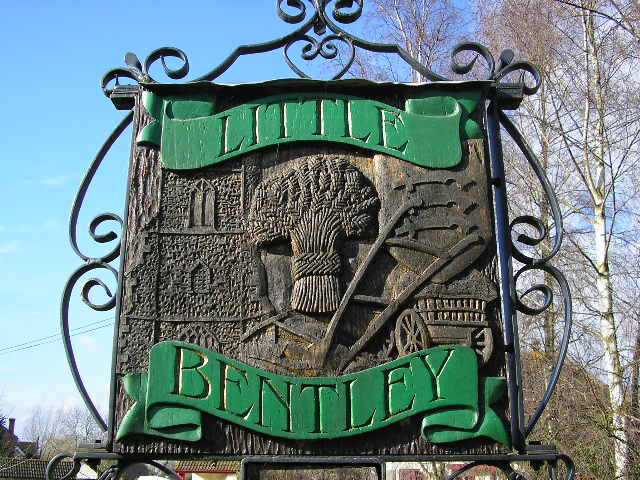
Little Bentley

Little Bentley is a village and civil parish in the Tendring district of Essex, England. It sits on rising ground just to the west of the Holland Brook...

Little Bromley

Little Bromley is a village and civil parish in the Tendring district of Essex, England. The name "Bromley" is Old English for "broomy wood/clearing"....

Beth Chatto Gardens

The Beth Chatto Gardens, now known as Beth Chatto's Plants & Gardens, are an informal collection of historically significant gardens, with National Heritage...

Elmstead Market

Elmstead Market is a village in the civil parish of Elmstead, in the Tendring district of Essex, England. It lies 3 km north-east of Wivenhoe and 6 km...

Harwich and North Essex (UK Parliament constituency)

Harwich and North Essex is a constituency represented in the House of Commons of the UK Parliament by Bernard Jenkin of the Conservative Party since its...

Nearby Amenities

Located within 500m of 51.892405,1.0373217
Post Box
Post Box Type: lamp
Ref: CO7 365
Lat/Long: 51.8886639/1.0387371
Power: pole
Source: bing
Lat/Long: 51.8889531/1.0399046
Power: pole
Source: bing
Lat/Long: 51.8899156/1.0401845
Power: pole
Source: bing
Lat/Long: 51.8907294/1.039824
Power: pole
Source: bing
Lat/Long: 51.891534/1.0394907
Power: pole
Source: bing
Lat/Long: 51.8923568/1.0391196
Power: pole
Source: bing
Lat/Long: 51.8931653/1.0387654
Power: pole
Source: bing
Lat/Long: 51.8940308/1.0383902
Power: pole
Source: bing
Lat/Long: 51.8947125/1.0375936
Power: pole
Source: bing
Lat/Long: 51.8953657/1.0368348
Power: pole
Source: bing
Lat/Long: 51.896019/1.0360676
Power: pole
Source: bing
Lat/Long: 51.8966632/1.0353234
The data included in this document is from www.openstreetmap.org. The data is made available under ODbL.

Have you been to Cowey Green?

Leave your review of Cowey Green below (or comments, questions and feedback).