Cowesfield Gate
Settlement in Wiltshire
England
Cowesfield Gate

Cowesfield Gate is a small village located in the county of Wiltshire, England. Situated in the beautiful countryside, it is nestled between the towns of Andover and Salisbury. The village is known for its picturesque landscapes and tranquil atmosphere, making it an ideal destination for those seeking a peaceful retreat.
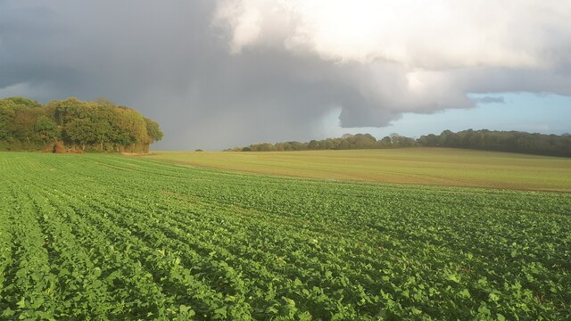
The village itself is characterized by its charming thatched cottages and historic buildings. It has a close-knit community, with a population of around 300 residents. The local economy is primarily based on agriculture, with many residents working in farming or related industries.
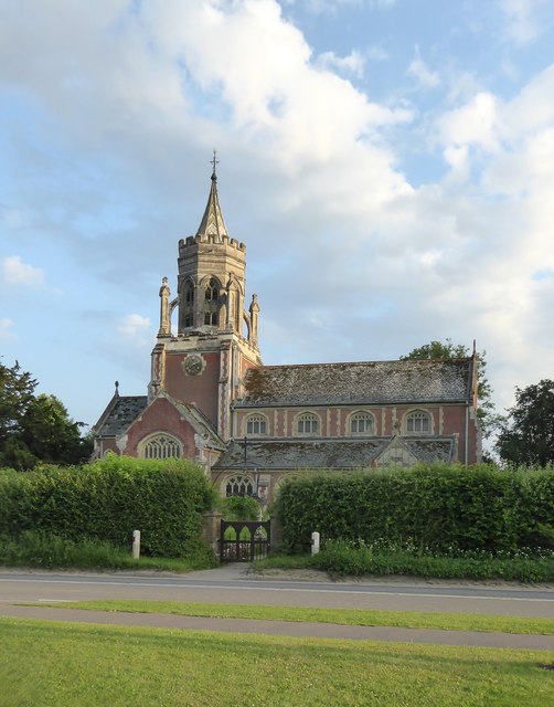
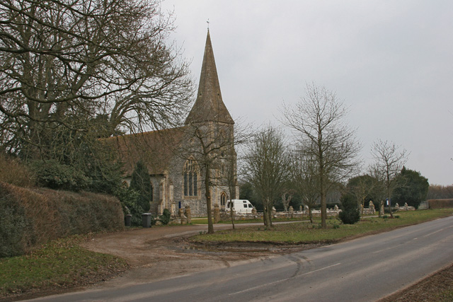
One of the notable landmarks in Cowesfield Gate is the 12th-century St. Mary's Church. This ancient church features stunning architecture and houses several historical artifacts. It serves as a place of worship for the local community and attracts visitors interested in the area's rich history.
The surrounding countryside offers ample opportunities for outdoor activities. Cowesfield Gate is blessed with an abundance of walking and cycling trails, providing visitors with scenic routes to explore the countryside. The area is also dotted with quaint villages, where visitors can enjoy traditional English pubs and sample local cuisine.
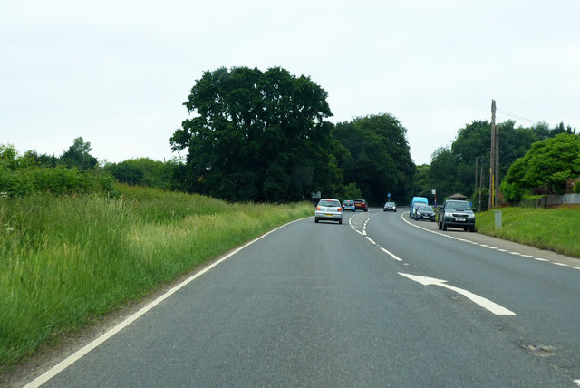
Despite its rural setting, Cowesfield Gate is well-connected to nearby towns and cities. The village has good transportation links, with regular bus services connecting it to Andover and Salisbury. It is also easily accessible by road, with the A303 nearby.
In summary, Cowesfield Gate is a charming village in Wiltshire, known for its peaceful ambiance, historic architecture, and stunning countryside. It offers a perfect escape from the hustle and bustle of city life, allowing visitors to immerse themselves in the beauty of rural England.
If you have any feedback on the listing, please let us know in the comments section below.
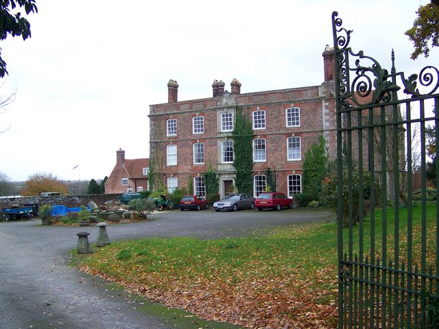
Cowesfield Gate Images
Images are sourced within 2km of 51.010048/-1.6089797 or Grid Reference SU2723. Thanks to Geograph Open Source API. All images are credited.


Cowesfield Gate is located at Grid Ref: SU2723 (Lat: 51.010048, Lng: -1.6089797)
Unitary Authority: Wiltshire
Police Authority: Wiltshire
What 3 Words
///comb.policy.stability. Near Whiteparish, Wiltshire
Nearby Locations
Related Wikis

Sherfield English
Sherfield English is a small village and civil parish in the Test Valley borough of Hampshire, England. It is located on the A27 road, around 4 miles...

Whiteparish Common
Whiteparish Common (grid reference SU255233) is a 64.5 hectare biological Site of Special Scientific Interest near Whiteparish, Wiltshire, England, notified...

Whiteparish
Whiteparish is a village and civil parish on the A27 about 7.5 miles (12.1 km) southeast of Salisbury in Wiltshire, England. The village is about 1.5...
East Dean, Hampshire
East Dean is a civil parish and small village in the Test Valley district of Hampshire, England, about 6 miles (10 km) northwest of Romsey. The village...

River Dun (River Test)
The River Dun is a tributary of the River Test in southern England, which flows for 18.3 km (11.4 miles) in a generally easterly direction through rural...
Lockerley
Lockerley is a village and civil parish in Hampshire, England on the border with Wiltshire. The village lies on the southern bank of the River Dun about...
Landford Manor
Landford Manor is a Grade II* listed house in Stock Lane, Landford, Wiltshire, England. It dates from around 1600, the south wing from around 1680, with...
Lockerley Camp
Lockerley Camp is the site of an Iron Age univallate hillfort located in Hampshire. Situated on a low gravel-capped plateau, it covers approximately 5...
Related Videos
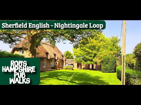
#90 Rob's Hampshire Pub Walks - Sherfield English - The Nightingale Loop
90 Sherfield English & The Nightingale Loop. 4.5 miles. This walk starts and finishes at The Hatchet Inn, Sherfield English (SO51 ...

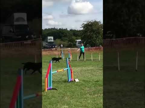
Agility #4 - Nedlo September 2021
Running Doggo takes on the Kennel Club Nedlo KC Agility Show.

Agility #7 - Nedlo 2022 Run 4 #shorts
Large Agility G1-3 #shorts.
Agility #7 - Nedlo 2022 Run 3 #shorts
Large Jumping G1-2 #shorts.
Nearby Amenities
Located within 500m of 51.010048,-1.6089797Have you been to Cowesfield Gate?
Leave your review of Cowesfield Gate below (or comments, questions and feedback).