County Bridge

Settlement in Staffordshire

England

County Bridge

Telecommunications mast, Ezekiel Lane
Telecommunications mast, Ezekiel Lane Credit: Alex McGregor

County Bridge is a small village located in the county of Staffordshire, England. Situated in the West Midlands region, it lies approximately 4 miles southeast of the town of Stafford.

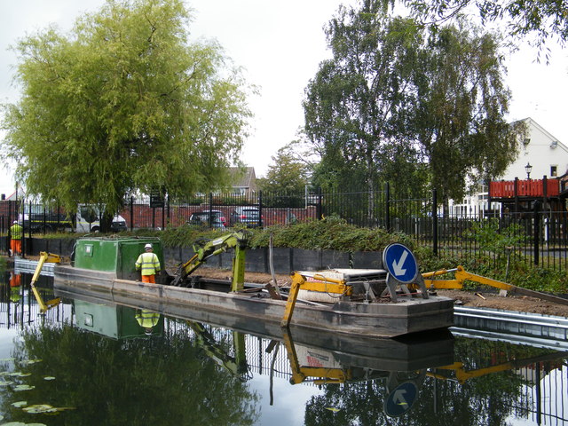
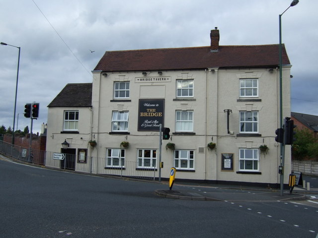
The village is primarily known for its historic bridge, which spans the River Sow. The bridge, believed to date back to the 18th century, is a stone structure with three arches and is a prominent feature in the area. It served as an important crossing point for many years, connecting the surrounding countryside and facilitating trade and travel.

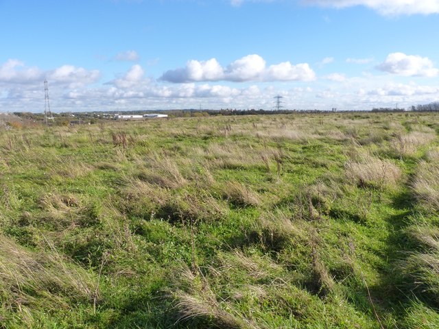
Surrounded by picturesque farmland, County Bridge offers a rural and tranquil setting. The village is home to a small population, and its residents enjoy a close-knit community feel. The peaceful ambiance attracts those seeking a quieter lifestyle away from the hustle and bustle of larger towns and cities.

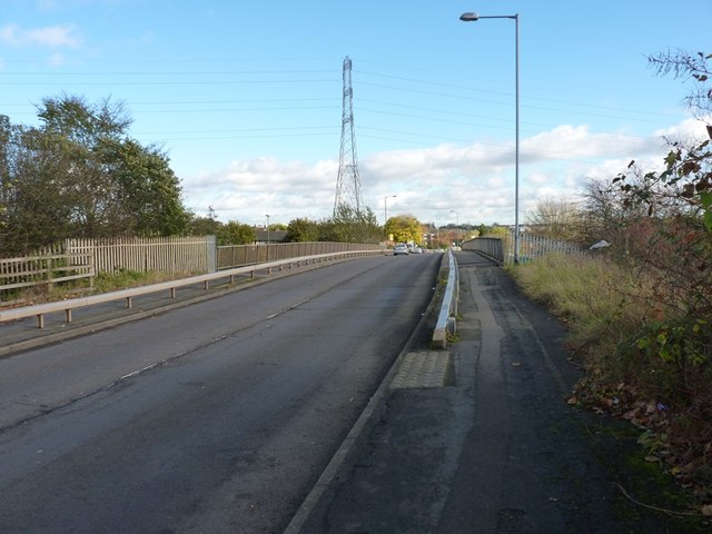
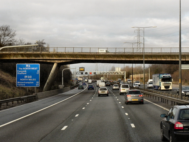
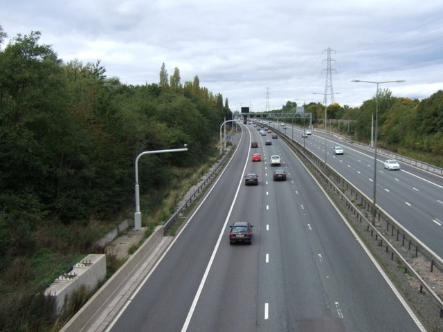
Despite its small size, County Bridge is well-connected to nearby towns and cities. The A513 road passes through the village, providing convenient access to Stafford and other neighboring areas. Additionally, the village is served by regular bus services, ensuring easy transportation options for residents and visitors alike.

While County Bridge may be a relatively modest village, its charming bridge and idyllic surroundings make it an appealing destination for those seeking a scenic and peaceful retreat in the heart of Staffordshire.

If you have any feedback on the listing, please let us know in the comments section below.

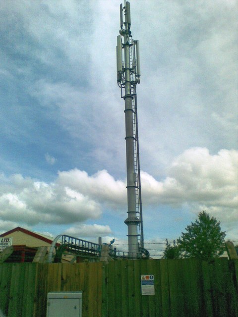
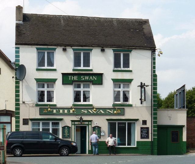
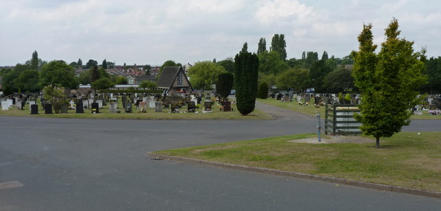
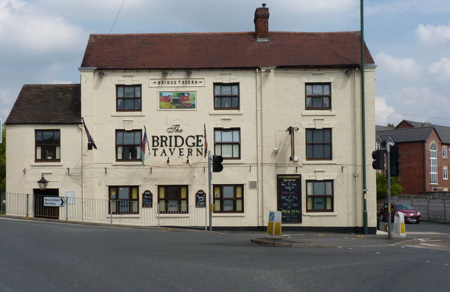
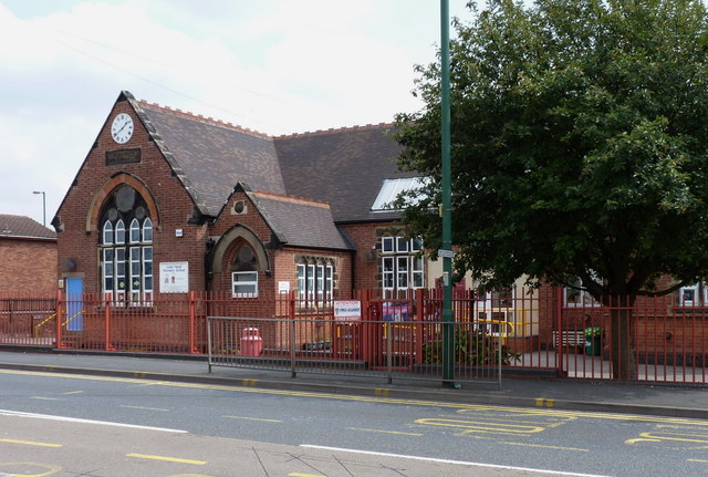
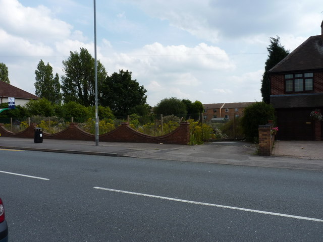
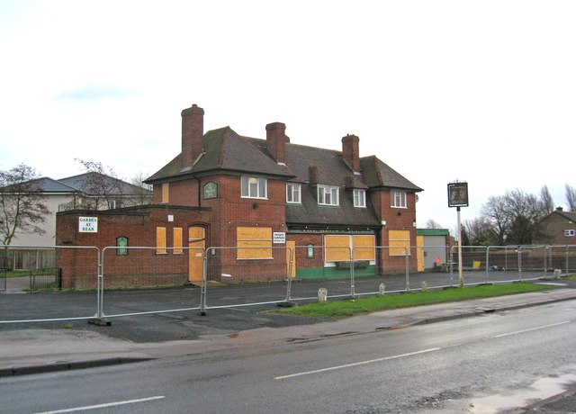
County Bridge Images

Images are sourced within 2km of 52.586532/-2.0360149 or Grid Reference SO9798. Thanks to Geograph Open Source API. All images are credited.

Telecommunications mast, Ezekiel Lane
The Swan - a pub on Bentley Lane, Lane Head area
Willenhall Lawn Cemetery Cemetery, Gardens of Remembrance, Chapel of Rest etc, all on the site here beside Bentley Lane
Willenhall Lawn Cemetery
Cemetery, Gardens of Remembrance, Chapel of Rest etc, all on the site here beside Bentley Lane
The Bridge Tavern, Lane Head Very appropriately named, as it sits practically on the bridge over the Curly Wyrley cut.
The Bridge Tavern, Lane Head
Very appropriately named, as it sits practically on the bridge over the Curly Wyrley cut.
The Lane Head Nursery School
All gone! The site of the former Lane Heath Methodist Church - all that's left is a rather sad wooden sign just inside the chain-link fence, to give away the identity of the church that formerly occupied the site.
All gone!
The site of the former Lane Heath Methodist Church - all that's left is a rather sad wooden sign just inside the chain-link fence, to give away the identity of the church that formerly occupied the site.
Piling boat Wyrley & Essington canal Construction of Lane Head moorings adjacent to United Kingdom pub car park
Piling boat Wyrley & Essington canal
Construction of Lane Head moorings adjacent to United Kingdom pub car park
The former Brown Jug (1), 52 Sandbeds Road, Shortheath, Willenhall The Brown Jug pub has closed and is boarded up. I have no information on the future of the building.

<a href="https://www.geograph.org.uk/photo/2745585">SJ9700 : The former Brown Jug (2) - sign, 52 Sandbeds Road, Shortheath, Willenhall</a>.
The former Brown Jug (1), 52 Sandbeds Road, Shortheath, Willenhall
The Brown Jug pub has closed and is boarded up. I have no information on the future of the building. SJ9700 : The former Brown Jug (2) - sign, 52 Sandbeds Road, Shortheath, Willenhall.
The former Brown Jug (2) - sign, 52 Sandbeds Road, Shortheath, Willenhall The sign of this closed pub is still present, on top of a post in the front car park, adjacent to Sandbeds Road.

<a href="https://www.geograph.org.uk/photo/2745575">SJ9700 : The former Brown Jug (1), 52 Sandbeds Road, Shortheath, Willenhall</a>.
The former Brown Jug (2) - sign, 52 Sandbeds Road, Shortheath, Willenhall
The sign of this closed pub is still present, on top of a post in the front car park, adjacent to Sandbeds Road. SJ9700 : The former Brown Jug (1), 52 Sandbeds Road, Shortheath, Willenhall.
The Bentley Lane overbridge The point at which Bentley Lane, on the approach from the Willenhall direction, crosses the M6 before joining Bloxwich Lane.
The Bentley Lane overbridge
The point at which Bentley Lane, on the approach from the Willenhall direction, crosses the M6 before joining Bloxwich Lane.
Derelict land northeast of Bentley Given the indication on the map of a nearby disused shaft, this appears to be a former colliery tip, now grassed over, and apparently ideal for the occasional off-roader to play on.
Derelict land northeast of Bentley
Given the indication on the map of a nearby disused shaft, this appears to be a former colliery tip, now grassed over, and apparently ideal for the occasional off-roader to play on.
Willenhall Lawn Cemetery The NE corner of this extensive cemetery.
Willenhall Lawn Cemetery
The NE corner of this extensive cemetery.
Northbound M6, Bentley Lane Bridge The bridge taking Bentley Lane over the northbound M6 at Willenhall.
Northbound M6, Bentley Lane Bridge
The bridge taking Bentley Lane over the northbound M6 at Willenhall.
M6 northbound From Bentley Lane.
M6 northbound
From Bentley Lane.
Footpath to Rough Wood Country Park Off Bentley Lane.
Footpath to Rough Wood Country Park
Off Bentley Lane.
Bentley Lane Heading west.
Bentley Lane
Heading west.
The Bridge pub, Lane Head
Lane Head Stores and Post Office
Show me another place!

County Bridge is located at Grid Ref: SO9798 (Lat: 52.586532, Lng: -2.0360149)

Unitary Authority: Walsall

Police Authority: West Midlands

What 3 Words

///proper.pulled.repay. Near Willenhall, West Midlands

Related Wikis

St Andrew's Church, Walsall

St Andrew's Church is a Free Church of England church in Bentley, Walsall, West Midlands. Three services are held weekly, Sunday at 10am, 11:30am and 6pm...

Short Heath railway station

Short Heath railway station was a station built by the Wolverhampton and Walsall Railway in 1872, and was operated by the Midland Railway from 1876 onwards...

St Giles Church, Willenhall

The Church of St Giles is a parish church in Willenhall, Metropolitan Borough of Walsall, West Midlands, England. Although the current church building...

Emmanuel Church, Bentley

Emmanuel Church, Bentley is a parish church in the Church of England in Bentley, West Midlands. == History == The church was started in 1954 by the architect...

Nearby Amenities

Located within 500m of 52.586532,-2.0360149
Bus Stop
Morris Ave / Slim Rd
Bus: yes
Naptan AtcoCode: 43000627301
Naptan Bearing: NW
Naptan BusStopType: MKD
Naptan CommonName: Slim Rd
Naptan Indicator: opp
Naptan NaptanCode: nwmwamjd
Naptan Status: ACT
Naptan StopType: BCT
Naptan Street: MORRIS AVE
Naptan Towards: Willenhall
Naptan Verified: no
Public Transport: platform
Source: WMCA
Lat/Long: 52.5882374/-2.0297577
Bus Stop
Morris Ave / Slim Rd
Bus: yes
Naptan AtcoCode: 43000627302
Naptan Bearing: SE
Naptan BusStopType: MKD
Naptan CommonName: Slim Rd
Naptan Indicator: adj
Naptan NaptanCode: nwmwamjg
Naptan Status: ACT
Naptan StopType: BCT
Naptan Street: MORRIS AVE
Naptan Towards: Darlaston
Naptan Verified: no
Public Transport: platform
Source: WMCA
Lat/Long: 52.5882464/-2.0297577
Bus Stop
Wolverhampton Road / County Bridge
NaPTANAreaCode: 43000684001
Bus: yes
Naptan AtcoCode: 43000684001
Naptan Bearing: E
Naptan BusStopType: MKD
Naptan CommonName: County Bridge
Naptan Indicator: opp
Naptan NaptanCode: nwmtjtaw
Naptan PlusbusZoneRef: BHAMNWS
Naptan Status: ACT
Naptan StopType: BCT
Naptan Street: WOLVERHAMPTON ROAD
Naptan Towards: Walsall
Naptan Verified: no
Public Transport: platform
Route Ref: 529
Shelter: yes
Shelter Ref: 203255
Source: WMCA
Lat/Long: 52.5872895/-2.0325589
Bus Stop
Wolverhampton Road / County Bridge
NaPTANAreaCode: 43000684002
Bus: yes
Naptan AtcoCode: 43000684002
Naptan Bearing: W
Naptan BusStopType: MKD
Naptan CommonName: County Bridge
Naptan Indicator: adj
Naptan NaptanCode: nwmtjtda
Naptan PlusbusZoneRef: BHAMNWS
Naptan Status: ACT
Naptan StopType: BCT
Naptan Street: WOLVERHAMPTON ROAD
Naptan Towards: Willenhall
Naptan Verified: no
Public Transport: platform
Route Ref: 529
Shelter: yes
Shelter Ref: 203254
Source: WMCA
Lat/Long: 52.5871308/-2.0326205
Bus Stop
Wolverhampton Road W / Bentley Cemetery
NaPTANAreaCode: 43000684301
Bus: yes
Naptan AtcoCode: 43000684301
Naptan Bearing: W
Naptan BusStopType: MKD
Naptan CommonName: Bentley Cemetery
Naptan Indicator: adj
Naptan NaptanCode: nwmjdpaw
Naptan PlusbusZoneRef: BHAMNWS
Naptan Status: ACT
Naptan StopType: BCT
Naptan Street: WOLVERHAMPTON ROAD W
Naptan Towards: Willenhall
Naptan Verified: no
Public Transport: platform
Route Ref: 303;529
Shelter: yes
Shelter Ref: 203204
Source: WMCA
Lat/Long: 52.5868023/-2.0291679
Bus Stop
Wolverhampton Road W / Warwick Avenue
NaPTANAreaCode: 43000684401
Bus: yes
Naptan AtcoCode: 43000684401
Naptan Bearing: E
Naptan BusStopType: MKD
Naptan CommonName: Warwick Avenue
Naptan Indicator: adj
Naptan NaptanCode: nwmjdpdg
Naptan PlusbusZoneRef: BHAMNWS
Naptan Status: ACT
Naptan StopType: BCT
Naptan Street: WOLVERHAMPTON ROAD W
Naptan Towards: Walsall
Naptan Verified: no
Public Transport: platform
Route Ref: 529
Shelter: yes
Shelter Ref: 203203
Source: WMCA
Lat/Long: 52.5869235/-2.0347458
Bus Stop
Wolverhampton Road W / Warwick Avenue
Bus: yes
Naptan AtcoCode: 43000684402
Naptan Bearing: W
Naptan BusStopType: MKD
Naptan CommonName: Warwick Avenue
Naptan Indicator: opp
Naptan NaptanCode: nwmjdpdj
Naptan PlusbusZoneRef: BHAMNWS
Naptan Status: ACT
Naptan StopType: BCT
Naptan Street: WOLVERHAMPTON ROAD W
Naptan Towards: Willenhall
Naptan Verified: no
Public Transport: platform
Route Ref: 529
Source: WMCA
Lat/Long: 52.5865186/-2.0358673
Bus Stop
Devon Rd / Coronation Rd
Bus: yes
Naptan AtcoCode: 43000684702
Naptan Bearing: SE
Naptan BusStopType: CUS
Naptan CommonName: Coronation Rd
Naptan Indicator: opp
Naptan NaptanCode: nwmtawga
Naptan PlusbusZoneRef: BHAMNWS
Naptan Status: ACT
Naptan StopType: BCT
Naptan Street: DEVON RD
Naptan Towards: Darlaston
Naptan Verified: no
Public Transport: platform
Route Ref: 303
Source: WMCA
Lat/Long: 52.5842321/-2.0302234
Bus Stop
Churchill Rd / St Andrews Church
Bus: yes
Naptan AtcoCode: 43000686701
Naptan Bearing: N
Naptan BusStopType: MKD
Naptan CommonName: St Andrews Church
Naptan Indicator: opp
Naptan NaptanCode: nwmwadtg
Naptan PlusbusZoneRef: BHAMNWS
Naptan Status: ACT
Naptan StopType: BCT
Naptan Street: CHURCHILL RD
Naptan Verified: no
Public Transport: platform
Source: WMCA
Lat/Long: 52.5877785/-2.0313368
Bus Stop
Churchill Rd / St Andrews Church
Bus: yes
Naptan AtcoCode: 43000686702
Naptan Bearing: S
Naptan BusStopType: MKD
Naptan CommonName: St Andrews Church
Naptan Indicator: adj
Naptan NaptanCode: nwmwadtj
Naptan PlusbusZoneRef: BHAMNWS
Naptan Status: ACT
Naptan StopType: BCT
Naptan Street: CHURCHILL RD
Naptan Verified: no
Public Transport: platform
Source: WMCA
Lat/Long: 52.5875897/-2.0312186
Bus Stop
Clarke's Lane / Durham Ave
Bus: yes
Naptan AtcoCode: 43000787901
Naptan Bearing: S
Naptan BusStopType: MKD
Naptan CommonName: Durham Avenue
Naptan Indicator: adj
Naptan NaptanCode: nwmjptdj
Naptan PlusbusZoneRef: BHAMNWS
Naptan Status: ACT
Naptan StopType: BCT
Naptan Street: CLARKE'S LANE
Naptan Towards: Willenhall
Naptan Verified: no
Public Transport: platform
Route Ref: 28E;303
Source: WMCA
Lat/Long: 52.5890791/-2.0395273
Bus Stop
Walsall Rd / Wolverhampton Rd
NaPTANAreaCode: 43000788001
Bench: yes
Bus: yes
Naptan AtcoCode: 43000788001
Naptan Bearing: W
Naptan BusStopType: MKD
Naptan CommonName: Wolverhampton Rd
Naptan Indicator: after
Naptan NaptanCode: nwmjptdm
Naptan PlusbusZoneRef: BHAMNWS
Naptan Status: ACT
Naptan StopType: BCT
Naptan Street: WALSALL RD
Naptan Towards: Willenhall
Naptan Verified: no
Public Transport: platform
Route Ref: 529
Shelter: yes
Shelter Ref: 203236
Source: WMCA
Lat/Long: 52.5858934/-2.0389137
Bus Stop
Walsall Rd / Wolverhampton Rd
NaPTANAreaCode: 43000788002
Bench: yes
Bus: yes
Naptan AtcoCode: 43000788002
Naptan Bearing: E
Naptan BusStopType: MKD
Naptan CommonName: Wolverhampton Rd
Naptan Indicator: before
Naptan NaptanCode: nwmjptdp
Naptan PlusbusZoneRef: BHAMNWS
Naptan Status: ACT
Naptan StopType: BCT
Naptan Street: WALSALL RD
Naptan Towards: Walsall
Naptan Verified: no
Public Transport: platform
Route Ref: 529
Shelter: yes
Shelter Ref: 203237
Source: WMCA
Lat/Long: 52.5860095/-2.038585
Bus Stop
Walsall Rd / Fletcher's Lane
NaPTANAreaCode: 43000788201
Bench: yes
Bin: yes
Bus: yes
Naptan AtcoCode: 43000788201
Naptan Bearing: W
Naptan BusStopType: MKD
Naptan CommonName: Fletcher's Lane
Naptan Indicator: adj
Naptan NaptanCode: nwmjptga
Naptan PlusbusZoneRef: BHAMNWS
Naptan Status: ACT
Naptan StopType: BCT
Naptan Street: WALSALL RD
Naptan Towards: Willenhall
Naptan Verified: no
Public Transport: platform
Route Ref: 28E;303;310;529
Shelter: yes
Shelter Ref: 203253
Source: WMCA
Tactile Paving: no
Lat/Long: 52.5858244/-2.0416821
Bus Stop
Walsall Rd / Fletcher's Lane
NaPTANAreaCode: 43000788202
Bench: yes
Bin: yes
Bus: yes
Naptan AtcoCode: 43000788202
Naptan Bearing: E
Naptan BusStopType: MKD
Naptan CommonName: Fletcher's Lane
Naptan Indicator: opp
Naptan NaptanCode: nwmjptgd
Naptan PlusbusZoneRef: BHAMNWS
Naptan Status: ACT
Naptan StopType: BCT
Naptan Street: WALSALL RD
Naptan Towards: Walsall
Naptan Verified: no
Public Transport: platform
Route Ref: 28E;303;529
Shelter: yes
Shelter Ref: 203202
Source: WMCA
Tactile Paving: no
Lat/Long: 52.5859593/-2.0416675
Bus Stop
Western Ave / Churchill Rd
Bus: yes
Naptan AtcoCode: 43006271001
Naptan Bearing: SE
Naptan BusStopType: CUS
Naptan CommonName: Churchill Rd
Naptan Indicator: before
Naptan NaptanCode: nwmtdwpg
Naptan PlusbusZoneRef: BHAMNWS
Naptan Status: ACT
Naptan StopType: BCT
Naptan Street: WESTERN AVE
Naptan Towards: Willenhall
Naptan Verified: no
Public Transport: platform
Route Ref: 303
Source: WMCA
Lat/Long: 52.588156/-2.0316765
Bus Stop
Coronation Ave / W'Ton Rd West
Bus: yes
Naptan AtcoCode: 43006272001
Naptan Bearing: S
Naptan BusStopType: CUS
Naptan CommonName: W'ton Rd West
Naptan Indicator: after
Naptan NaptanCode: nwmtdwpm
Naptan PlusbusZoneRef: BHAMNWS
Naptan Status: ACT
Naptan StopType: BCT
Naptan Street: CORONATION AVE
Naptan Towards: Willenhall
Naptan Verified: no
Public Transport: platform
Route Ref: 303
Source: WMCA
Lat/Long: 52.5868496/-2.0331825
Turning Circle
Source: bing
Lat/Long: 52.5885361/-2.0424931
Turning Circle
Lat/Long: 52.5870523/-2.0421566
Turning Circle
Lat/Long: 52.5864381/-2.0425243
County Bridge
Place: suburb
Source: OS _OpenData _StreetView
Lat/Long: 52.5859121/-2.0373714
Turning Circle
Source: bing
Lat/Long: 52.582214/-2.0373189
Turning Circle
Lat/Long: 52.58548/-2.0363202
Turning Circle
Lat/Long: 52.5851218/-2.0353953
Shepwell Green
Place: suburb
Source: OS_OpenData_StreetView
Lat/Long: 52.5842073/-2.0381232
Turning Circle
Source: bing
Lat/Long: 52.5869364/-2.0375161
Shepwell Green
Junction: yes
Lat/Long: 52.584957/-2.0402002
Traffic Signals
Traffic Signals: signal
Lat/Long: 52.5850015/-2.0399342
Turning Circle
Source: bing
Lat/Long: 52.5835865/-2.0374851
Traffic Signals
Source: estimate
Traffic Signals: signal
Traffic Signals Direction: backward
Lat/Long: 52.5847851/-2.040214
Traffic Signals
Source: estimate
Lat/Long: 52.5849257/-2.0405229
Traffic Signals
Traffic Signals Direction: forward
Lat/Long: 52.585209/-2.040123
Traffic Signals
Lat/Long: 52.585246/-2.0399426
Turning Circle
Source: bing
Lat/Long: 52.5895616/-2.0413689
Bus Stop
Clarke's Lane / Little Island Drive
Bus: yes
Naptan AtcoCode: 43007877002
Naptan Bearing: N
Naptan BusStopType: MKD
Naptan CommonName: Little Island Drive
Naptan Indicator: opp
Naptan NaptanCode: nwmwgdwp
Naptan Status: ACT
Naptan StopType: BCT
Naptan Street: CLARKE'S LANE
Naptan Towards: Bentley
Public Transport: platform
Route Ref: 28E;303
Shelter: no
Source: WMCA
Lat/Long: 52.5873323/-2.0394399
Bus Stop
Clarke's Lane / Little Island Drive
Bus: yes
Naptan AtcoCode: 43007877001
Naptan Bearing: S
Naptan BusStopType: MKD
Naptan CommonName: Little Island Drive
Naptan Indicator: adj
Naptan NaptanCode: nwmwgdwm
Naptan Status: ACT
Naptan StopType: BCT
Naptan Street: CLARKE'S LANE
Naptan Towards: Willenall
Public Transport: platform
Route Ref: 28E;303
Shelter: no
Source: WMCA
Lat/Long: 52.5875481/-2.0392777
Bus Stop
Clarke's Lane / Durham Ave
Bus: yes
Naptan AtcoCode: 43000787902
Naptan Bearing: N
Naptan BusStopType: MKD
Naptan CommonName: Durham Avenue
Naptan Indicator: opp
Naptan NaptanCode: nwmwgdwj
Naptan Status: ACT
Naptan StopType: BCT
Naptan Street: CLARKE'S LANE
Naptan Towards: Bentley
Public Transport: platform
Route Ref: 28E;303
Source: WMCA
Lat/Long: 52.5895797/-2.0397371
Generator Method: photovoltaic
Generator Output Electricity: yes
Generator Source: solar
Generator Type: solar_photovoltaic_panel
Power: generator
Lat/Long: 52.5881576/-2.0325458
Generator Method: photovoltaic
Generator Output Electricity: yes
Generator Source: solar
Generator Type: solar_photovoltaic_panel
Power: generator
Lat/Long: 52.5881853/-2.0324037
Generator Method: photovoltaic
Generator Output Electricity: yes
Generator Source: solar
Generator Type: solar_photovoltaic_panel
Power: generator
Lat/Long: 52.5879474/-2.0316808
Generator Method: photovoltaic
Generator Output Electricity: yes
Generator Source: solar
Generator Type: solar_photovoltaic_panel
Power: generator
Lat/Long: 52.5879661/-2.0317344
Generator Method: photovoltaic
Generator Output Electricity: yes
Generator Source: solar
Generator Type: solar_photovoltaic_panel
Power: generator
Lat/Long: 52.5875294/-2.0317398
Generator Method: photovoltaic
Generator Output Electricity: yes
Generator Source: solar
Generator Type: solar_photovoltaic_panel
Power: generator
Lat/Long: 52.5874919/-2.0321502
Generator Method: photovoltaic
Generator Output Electricity: yes
Generator Source: solar
Generator Type: solar_photovoltaic_panel
Power: generator
Lat/Long: 52.5875042/-2.0320764
Generator Method: photovoltaic
Generator Output Electricity: yes
Generator Source: solar
Generator Type: solar_photovoltaic_panel
Power: generator
Lat/Long: 52.587518/-2.0319007
Generator Method: photovoltaic
Generator Output Electricity: yes
Generator Source: solar
Generator Type: solar_photovoltaic_panel
Power: generator
Lat/Long: 52.5875139/-2.0319705
Generator Method: photovoltaic
Generator Output Electricity: yes
Generator Source: solar
Generator Type: solar_photovoltaic_panel
Power: generator
Lat/Long: 52.5881104/-2.0323017
Generator Method: photovoltaic
Generator Output Electricity: yes
Generator Source: solar
Generator Type: solar_photovoltaic_panel
Power: generator
Lat/Long: 52.5880802/-2.0322374
Generator Method: photovoltaic
Generator Output Electricity: yes
Generator Source: solar
Generator Type: solar_photovoltaic_panel
Power: generator
Lat/Long: 52.5880533/-2.032114
Generator Method: photovoltaic
Generator Output Electricity: yes
Generator Source: solar
Generator Type: solar_photovoltaic_panel
Power: generator
Lat/Long: 52.5880362/-2.0320429
Generator Method: photovoltaic
Generator Output Electricity: yes
Generator Source: solar
Generator Type: solar_photovoltaic_panel
Power: generator
Lat/Long: 52.5879971/-2.0319383
Generator Method: photovoltaic
Generator Output Electricity: yes
Generator Source: solar
Generator Type: solar_photovoltaic_panel
Power: generator
Lat/Long: 52.5879767/-2.0318685
Barrier: cycle_barrier
Lat/Long: 52.585941/-2.0287491
Barrier: cycle_barrier
Lat/Long: 52.584506/-2.0299226
Barrier: cycle_barrier
Lat/Long: 52.5845486/-2.030054
Crossing
Crossing: uncontrolled
Crossing Ref: zebra
Lat/Long: 52.5851416/-2.040607
Crossing
Crossing: uncontrolled
Crossing Ref: zebra
Lat/Long: 52.5851042/-2.0406099
Fuel
Lat/Long: 52.5871253/-2.0349182
Shop: convenience
Lat/Long: 52.5871815/-2.0346554
Give Way
Lat/Long: 52.5851681/-2.039818
Give Way
Lat/Long: 52.5847486/-2.0405869
Traffic Signals
Traffic Signals: signal
Traffic Signals Direction: backward
Lat/Long: 52.5856998/-2.0399171
Traffic Signals
Traffic Signals: signal
Traffic Signals Direction: backward
Lat/Long: 52.5859215/-2.0395768
Traffic Signals
Traffic Signals: signal
Traffic Signals Direction: forward
Lat/Long: 52.5860493/-2.0397792
Traffic Signals
Traffic Signals: signal
Traffic Signals Direction: backward
Lat/Long: 52.5859016/-2.0402516
Traffic Signals
Traffic Signals: signal
Lat/Long: 52.5847395/-2.0403407
Generator Method: photovoltaic
Generator Output Electricity: yes
Generator Source: solar
Generator Type: solar_photovoltaic_panel
Location: roof
Power: generator
Lat/Long: 52.5868996/-2.0330836
The data included in this document is from www.openstreetmap.org. The data is made available under ODbL.

Have you been to County Bridge?

Leave your review of County Bridge below (or comments, questions and feedback).