Beech

Settlement in Staffordshire Stafford

England

Beech

Plenty more to harrow Looking across this field towards Kingswood Bank. The tractor is harrowing the field, working towards the camera.
Plenty more to harrow Credit: Rich Tea

Beech is a small village located in the county of Staffordshire, England. Situated in the Staffordshire Moorlands district, Beech is surrounded by picturesque countryside and offers a peaceful and idyllic setting for its residents.

The village is characterized by its charming rural atmosphere and traditional architecture, with many buildings dating back to the 18th and 19th centuries. The main focal point of the village is the local parish church, which stands at the heart of the community and holds regular services.

Although Beech is a small village, it benefits from a close-knit and friendly community. The village has a local pub, where residents can gather for a drink and socialize, fostering a strong sense of community spirit. Additionally, there are several community events and activities that take place throughout the year, providing opportunities for residents to come together and celebrate.

The surrounding countryside offers numerous opportunities for outdoor activities and exploration. Beech is located within close proximity to the Peak District National Park, which is renowned for its stunning landscapes, walking trails, and outdoor recreational activities. This makes Beech an ideal location for nature enthusiasts, hikers, and cyclists.

In terms of amenities, Beech is well-served by nearby towns and villages, which provide access to essential services such as schools, healthcare facilities, and shopping centers. The village also benefits from good transport links, with easy access to major roads and public transportation options.

Overall, Beech offers a tranquil and picturesque setting, combined with a strong sense of community and access to the beautiful Staffordshire countryside.

If you have any feedback on the listing, please let us know in the comments section below.
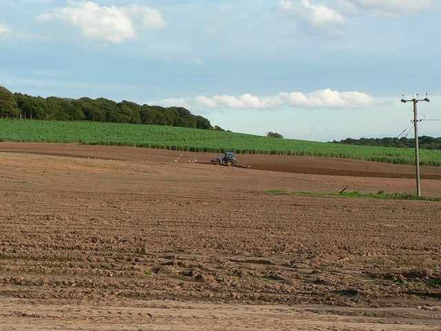
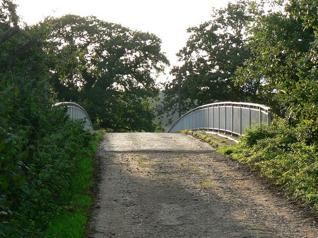
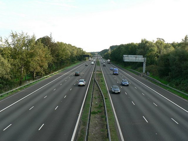
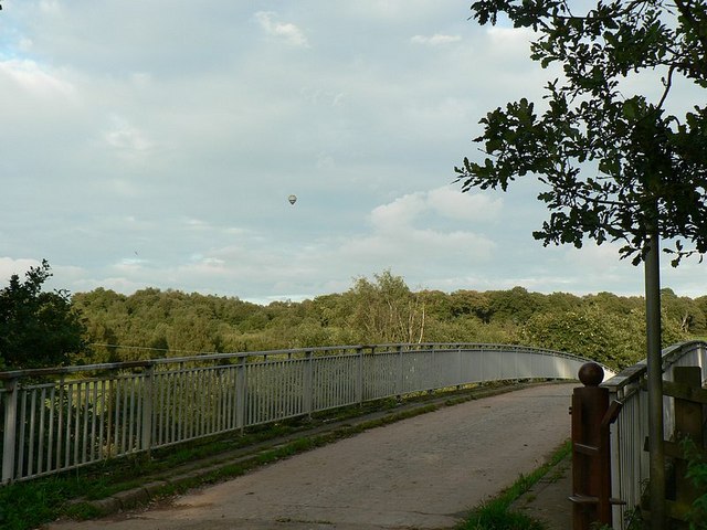
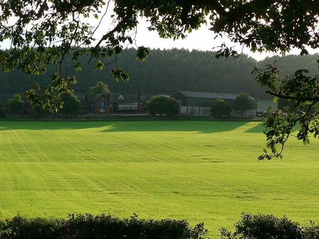
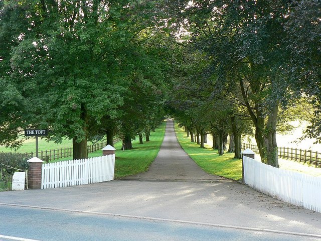
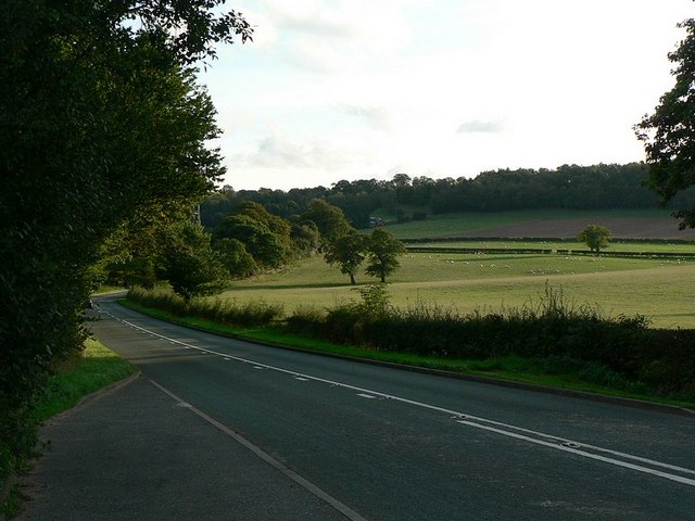
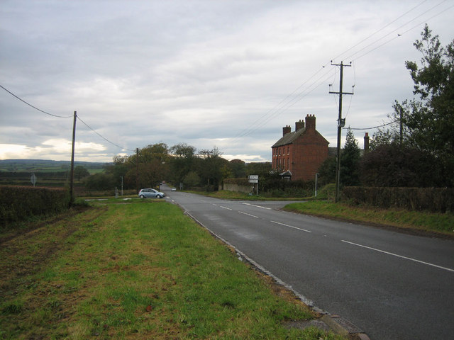
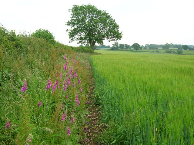
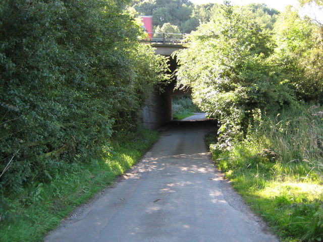
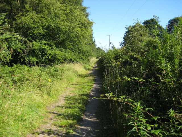
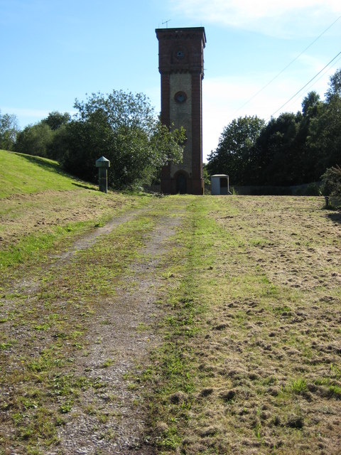
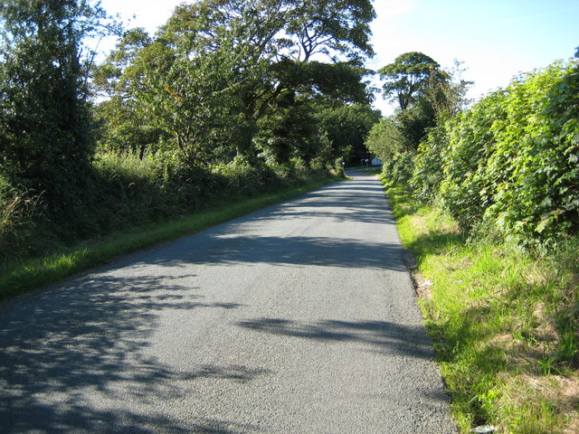
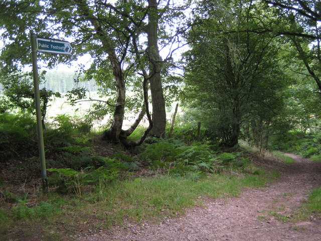
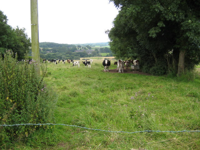
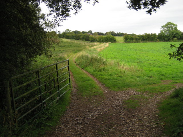
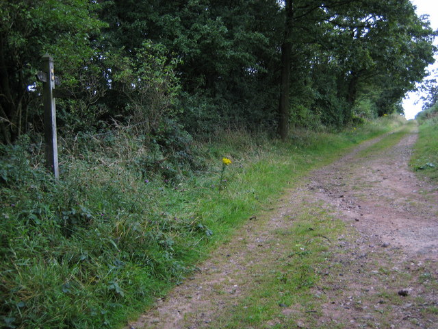
Beech Images

Images are sourced within 2km of 52.941863/-2.222434 or Grid Reference SJ8538. Thanks to Geograph Open Source API. All images are credited.

Plenty more to harrow Looking across this field towards Kingswood Bank. The tractor is harrowing the field, working towards the camera.
Plenty more to harrow
Looking across this field towards Kingswood Bank. The tractor is harrowing the field, working towards the camera.
Bridge over the M6 This is the bridge just over a mile south of junction 15. It carries a track from the A519 towards Kings Wood.
Bridge over the M6
This is the bridge just over a mile south of junction 15. It carries a track from the A519 towards Kings Wood.
M6 looking south From the bridge <a href="https://www.geograph.org.uk/photo/250344">SJ8539 : Bridge over the M6</a>
M6 looking south
From the bridge SJ8539 : Bridge over the M6
Bridge over M6, with hot air balloon The bridge carries a lane from the A519 near The Toft towards Kings Wood
Bridge over M6, with hot air balloon
The bridge carries a lane from the A519 near The Toft towards Kings Wood
Stile to nowhere The bridge over the M6 has a gate which could swing across the entrance, the post is by the opposite rail. This stile should meet up with it, but the hinges seem to have seized up when I tried to move it.
See <a href="https://www.geograph.org.uk/photo/250670">SJ8539 : Bridge over M6, with hot air balloon</a>
Stile to nowhere
The bridge over the M6 has a gate which could swing across the entrance, the post is by the opposite rail. This stile should meet up with it, but the hinges seem to have seized up when I tried to move it. See SJ8539 : Bridge over M6, with hot air balloon
View across the fields to The Toft Late September afternoon. Taken from the A519 by the bridge over the M6.
View across the fields to The Toft
Late September afternoon. Taken from the A519 by the bridge over the M6.
Entrance to The Toft By the A519.
Entrance to The Toft
By the A519.
The A519 From Eccleshall to Newcastle-under-Lyme
The A519
From Eccleshall to Newcastle-under-Lyme
Heath Farm The dangerous crossroads by Heath Farm where the A519 crosses the A51
Heath Farm
The dangerous crossroads by Heath Farm where the A519 crosses the A51
Field margin with foxgloves near Harley Thorns Farm
Beech Lane goes under M6 at Beechcliff The narrow lane goes under the six lane motorway (looking west)
Beech Lane goes under M6 at Beechcliff
The narrow lane goes under the six lane motorway (looking west)
Harley Thorn Lane Looking South East along Harley Thorn Lane in Hanchurch Hills
Harley Thorn Lane
Looking South East along Harley Thorn Lane in Hanchurch Hills
Water Tower The water tower at Hanchurch Hills
Water Tower
The water tower at Hanchurch Hills
Bottom Lane Looking north in Bottom Lane towards the junction with A519
Bottom Lane
Looking north in Bottom Lane towards the junction with A519
Footpath off Common Lane towards Harley Thorns Footpath towards Harley Thorns, the plantation can be seen behind the footpath sign
Footpath off Common Lane towards Harley Thorns
Footpath towards Harley Thorns, the plantation can be seen behind the footpath sign
Cattle in field off Beech Lane Cattle in field adjacent to "West View"
Cattle in field off Beech Lane
Cattle in field adjacent to "West View"
Land near Beech House Farm Looking North East towards Beech
Land near Beech House Farm
Looking North East towards Beech
Green Lane Looking south towards Swynnerton at the top of Green Lane.
Green Lane
Looking south towards Swynnerton at the top of Green Lane.
Show me another place!

Beech is located at Grid Ref: SJ8538 (Lat: 52.941863, Lng: -2.222434)

Administrative County: Staffordshire

District: Stafford

Police Authority: Staffordshire

What 3 Words

///keys.racing.factor. Near Barlaston, Staffordshire

Related Wikis

Beechcliff

Beechcliff is a village in Staffordshire, England. For population details at the 2011 census see Swynnerton

Trentham Estate

The Trentham Estate, in the village of Trentham, is a visitor attraction located on the southern fringe of the city of Stoke-on-Trent in Staffordshire...
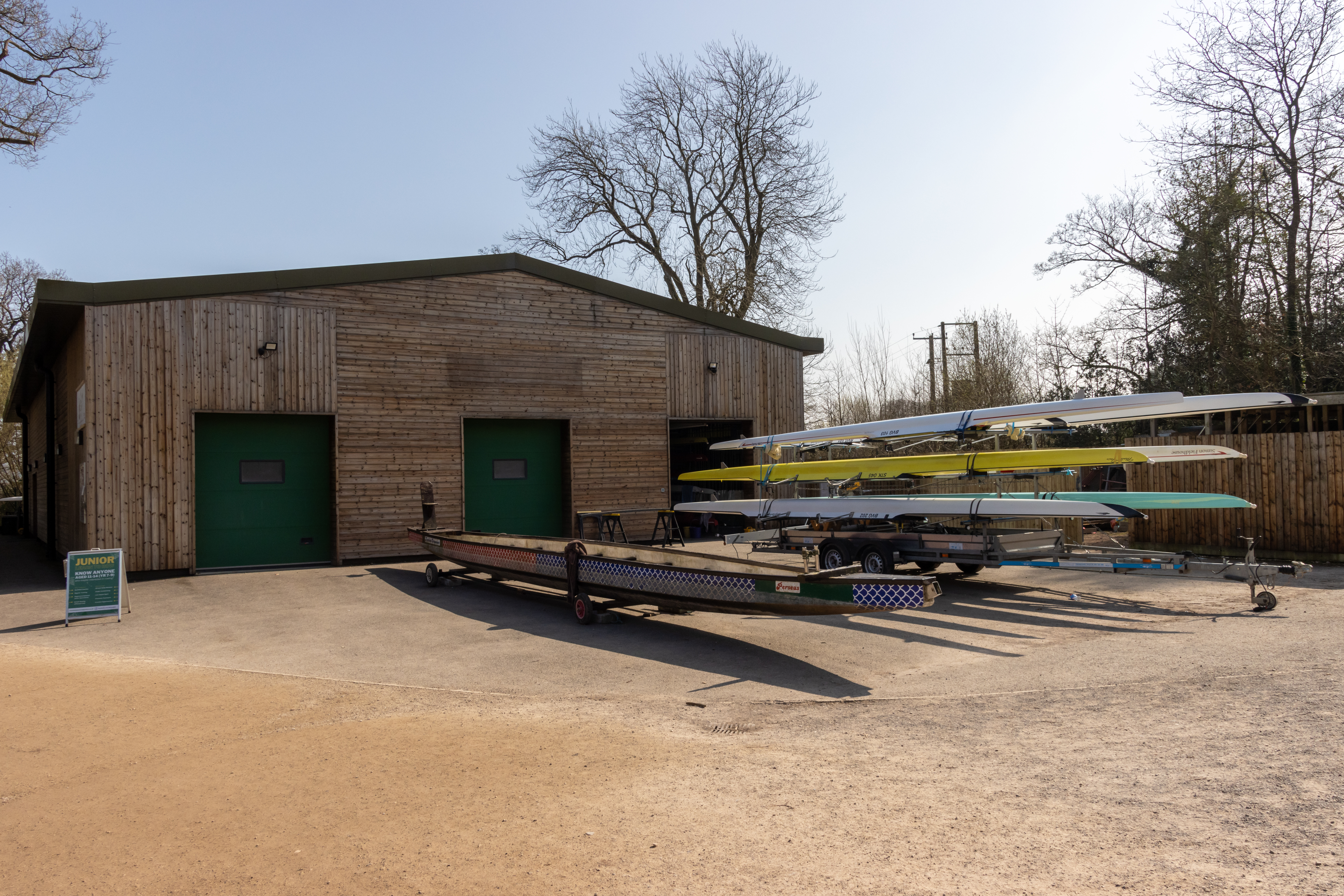
Trentham Boat Club

Trentham Boat Club is a rowing club based on Trentham Lake next to the River Trent, at Trentham Gardens Estate, Stone Road, Trentham, Stoke-on-Trent, Staffordshire...

Tittensor

Tittensor village is located in Staffordshire, England, between Newcastle-under-Lyme and Stone. The population as taken at the 2011 census can be found...

Swynnerton

Swynnerton is a village and civil parish in Staffordshire, England. It lies in the Borough of Stafford, and at the 2001 census had a population of 4,233...

Swynnerton Hall

Swynnerton Hall is an 18th-century country mansion house, the home of Lord Stafford, situated at Swynnerton near Stone, Staffordshire. It is a Grade I...

Trentham Mausoleum

The Trentham Mausoleum is a Grade I listed mausoleum in Trentham, Stoke-on-Trent, built as the final resting place of the Dukes of Sutherland from the...

Hem Heath

Hem Heath is a district of Stoke-on-Trent just south of the Bet365 Stadium. The nature reserve Hem Heath Woods is nearby.

Related Videos

Walking with Monkeys at Monkey Forest.

We recently visited Monkey Forest where Monkeys are free to walk around you! Monkey Forest is a fun day out for all the family ...

Walking with monkeys

This is a short video of our trip to Trentham Monkey Forest. Trentham monkey forest has 60 acres of woodland and is home to two ...

Our Trip to Trentham Monkey Forest 🌳

Our trip to the Monkey Forest #esmesworld #esmesworldchannel #childinfluencer #kids #childrensunboxing ...

Nearby Amenities

Located within 500m of 52.941863,-2.222434
Bus Stop
Old Lane
Naptan AtcoCode: 3800C793301
Naptan Bearing: NE
Naptan CommonName: Old Lane
Naptan Indicator: Adj
Naptan Landmark: Old Ln
Naptan Street: Newcastle Rd
Naptan Verified: no
Source: naptan_import
Lat/Long: 52.9413264/-2.2250104
Bus Stop
Old Lane
Naptan AtcoCode: 3800C793302
Naptan Bearing: SW
Naptan CommonName: Old Lane
Naptan Indicator: Opp
Naptan Landmark: Old Ln
Naptan Street: Newcastle Rd
Naptan Verified: no
Source: naptan_import
Lat/Long: 52.9413228/-2.2247609
Beech
Place: village
Lat/Long: 52.9417399/-2.2211882
Addr Housename: Hilltop Bungalow
Lat/Long: 52.9457928/-2.2231538
Beech Caves
Natural: cave_entrance
Lat/Long: 52.9410153/-2.2182631
Communication Mobile Phone: yes
Man Made: mast
Tower Type: communication
Lat/Long: 52.9452364/-2.2219343
The data included in this document is from www.openstreetmap.org. The data is made available under ODbL.

Have you been to Beech?

Leave your review of Beech below (or comments, questions and feedback).