Beech
Settlement in Hampshire East Hampshire
England
Beech
Beech is a small village located in the county of Hampshire, England. Situated in the South Downs National Park, it is surrounded by picturesque rolling hills and stunning natural landscapes. The village is part of the East Hampshire district and sits approximately 4 miles southeast of the market town of Alton.
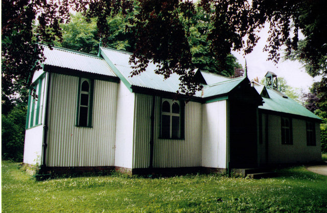
Beech is known for its quaint and charming atmosphere, making it an ideal destination for those seeking a peaceful and tranquil escape from the hustle and bustle of city life. The village is characterized by its traditional thatched cottages, historic buildings, and beautifully maintained gardens.
Despite its small size, Beech offers a range of amenities for residents and visitors. The village boasts a local pub, The Beech Arms, which is a popular spot for locals to gather and enjoy a drink or meal. There is also a village hall that hosts various community events and activities throughout the year.
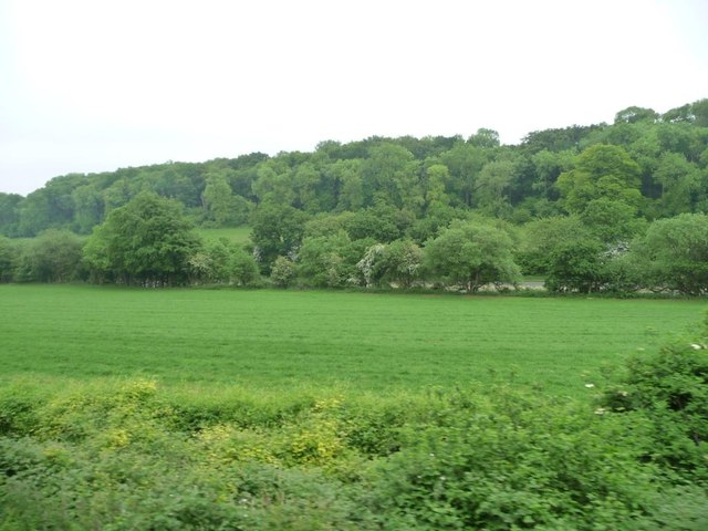
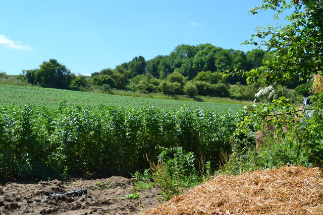
Nature enthusiasts will find plenty to explore in and around Beech. The village is surrounded by a network of footpaths and bridleways, providing opportunities for scenic walks and outdoor adventures. The nearby Beech Hanger is a designated Site of Special Scientific Interest and offers a unique habitat for a variety of plant and animal species.
Overall, Beech is a charming village that offers a peaceful retreat in the heart of the Hampshire countryside. Its natural beauty, historic character, and sense of community make it a delightful place to visit or call home.
If you have any feedback on the listing, please let us know in the comments section below.
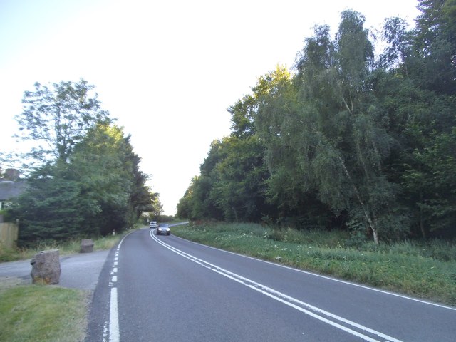
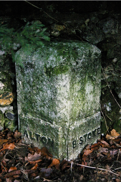
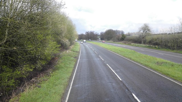
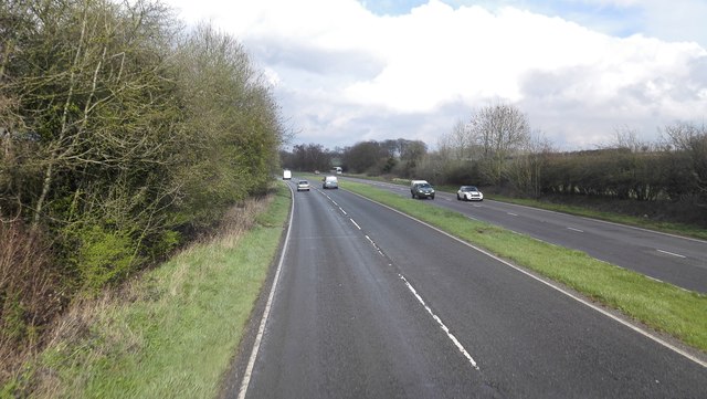
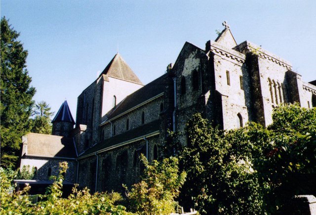
Beech Images
Images are sourced within 2km of 51.142021/-1.01648 or Grid Reference SU6838. Thanks to Geograph Open Source API. All images are credited.


Beech is located at Grid Ref: SU6838 (Lat: 51.142021, Lng: -1.01648)
Administrative County: Hampshire
District: East Hampshire
Police Authority: Hampshire
What 3 Words
///magma.hobby.somewhere. Near Alton, Hampshire
Nearby Locations
Related Wikis


Related Videos
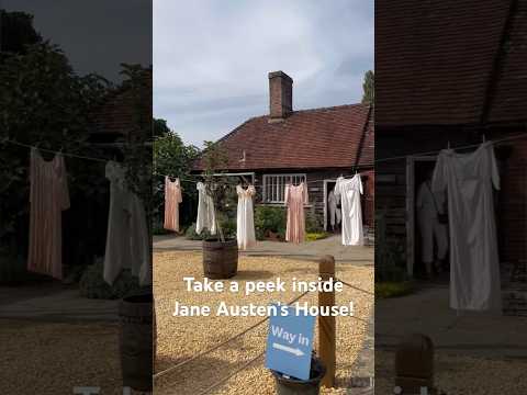
Visit Jane Austen’s House in England #shortsclip #england #janeausten #literature #british #author
Did you know that you can visit Jane Austen's house in Chawton, England? We came here on a half-day trip from Bath on a ...
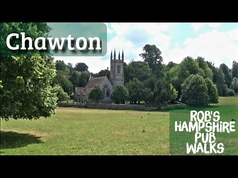
#12 Rob's Hampshire Pub Walks Chawton Jane Austen's House and Abandoned Railway Walk 4.5 Miles
One of my literary Hampshire walks , exploring Jane Austen's village, a mysterious folly, ancient tree and an abandoned railway.

Holiday October 2022, Part 4
FilmoraGo.
1125, BR Class 205, Alresford to Ropley, 18/02/19
A trip aboard BR Class 2H (Later 205) unit No.1125 from Alresford to Ropley, Monday 18th February 2019.
Nearby Amenities
Located within 500m of 51.142021,-1.01648Have you been to Beech?
Leave your review of Beech below (or comments, questions and feedback).