Corbiehall

Settlement in West Lothian

Scotland

Corbiehall

Bo'ness Dock Looking from the footbridge linking the north and south sides of the dock. The lock gates are disused and in poor condition. A concrete dam (with sluices) has been built on the seaward side of the gates, maintaining the water level in the dock. 

The dock closed to commercial trade in 1959. It is currently maintained by Falkirk Council.
Bo'ness Dock Credit: Richard Sutcliffe

Corbiehall is a small village located in West Lothian, Scotland. Situated on the banks of the River Avon, it is surrounded by picturesque countryside and offers a tranquil and idyllic setting.

The village is known for its rich history, with evidence of human settlement dating back to ancient times. The name "Corbiehall" is believed to derive from the Scots word for a crow's nest or rookery, reflecting the presence of these birds in the area.

Despite its small size, Corbiehall boasts a tight-knit community and a range of amenities. The village has a primary school, providing local children with education opportunities close to home. There is also a community hall that serves as a hub for various social events and gatherings.

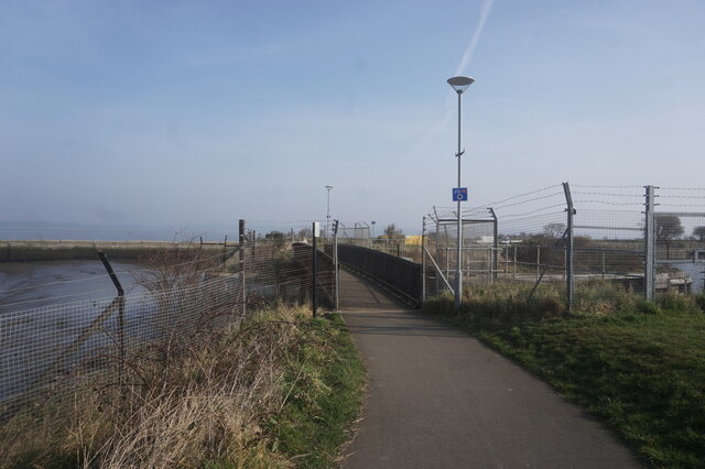
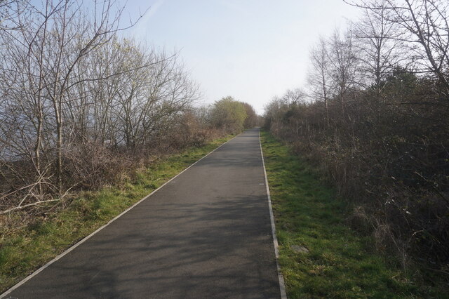
The natural beauty of the area surrounding Corbiehall makes it a popular destination for outdoor enthusiasts. The River Avon offers opportunities for fishing and leisurely walks along its banks. Additionally, the nearby Bathgate Hills provide ample green space for hiking, cycling, and picnicking.

For those seeking a taste of history and culture, Corbiehall is conveniently located near several historic landmarks. The nearby town of Linlithgow is home to Linlithgow Palace, a magnificent 15th-century royal residence. Visitors can explore the palace's grand halls and beautifully landscaped gardens, gaining insight into Scotland's royal heritage.

Overall, Corbiehall is a charming village that offers a peaceful atmosphere, a close-knit community, and easy access to both natural beauty and historical sites.

If you have any feedback on the listing, please let us know in the comments section below.
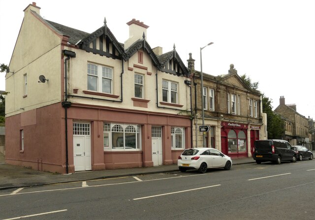
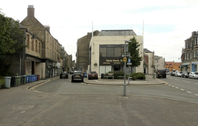
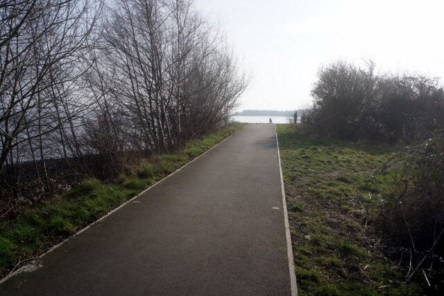
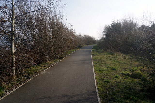
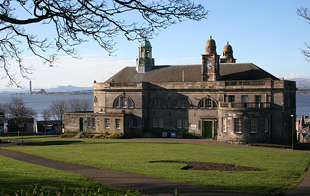
Corbiehall Images

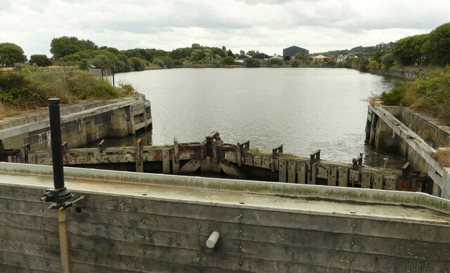
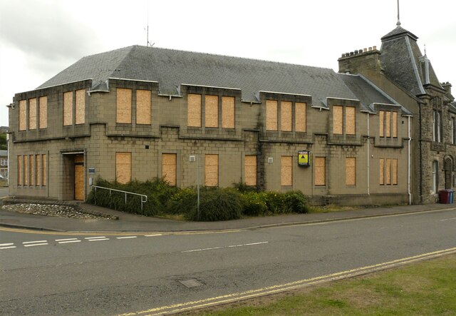
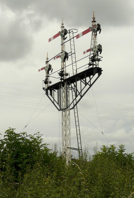
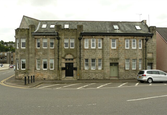
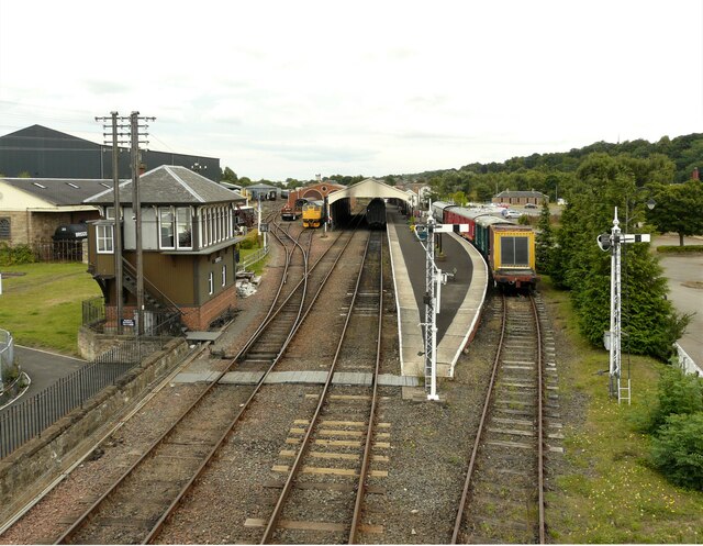
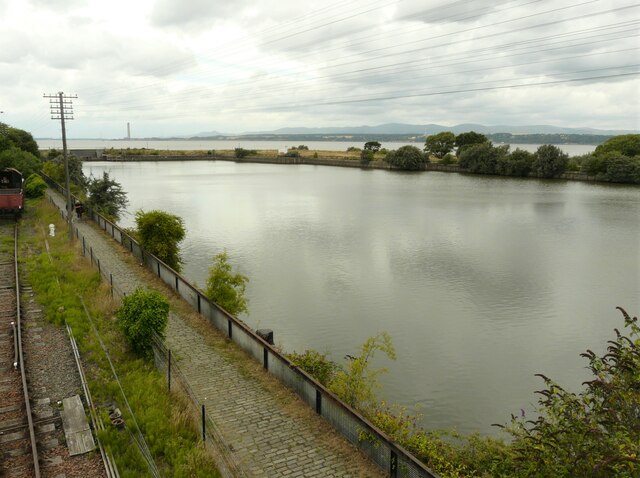
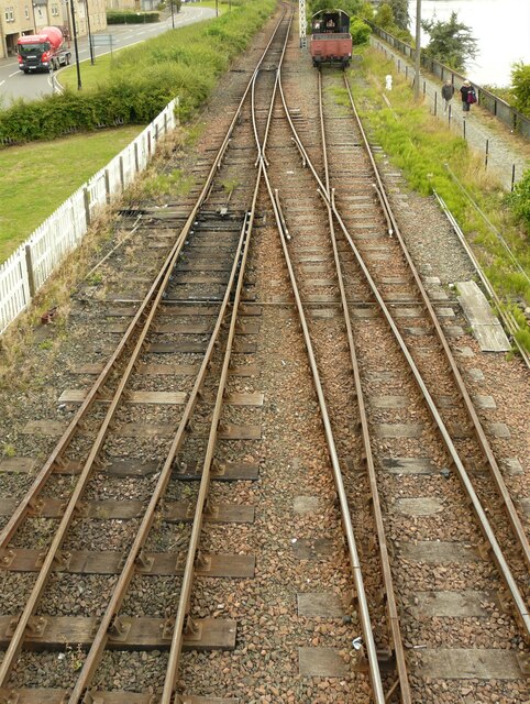
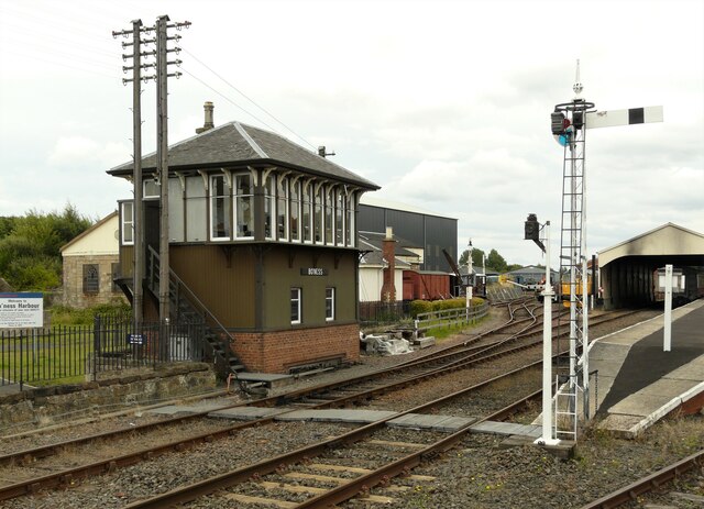
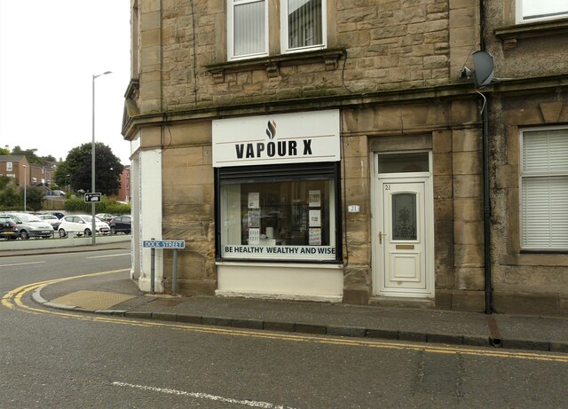
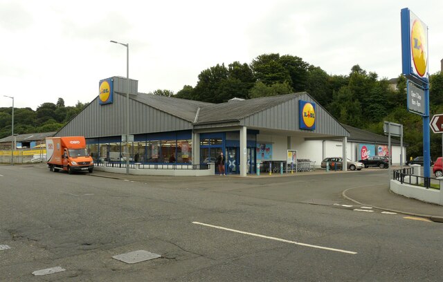
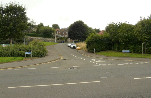
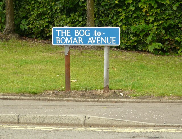
Images are sourced within 2km of 56.014038/-3.6152884 or Grid Reference NS9981. Thanks to Geograph Open Source API. All images are credited.

Bo'ness Dock Looking from the footbridge linking the north and south sides of the dock. The lock gates are disused and in poor condition. A concrete dam (with sluices) has been built on the seaward side of the gates, maintaining the water level in the dock. 

The dock closed to commercial trade in 1959. It is currently maintained by Falkirk Council.
Bo'ness Dock
Looking from the footbridge linking the north and south sides of the dock. The lock gates are disused and in poor condition. A concrete dam (with sluices) has been built on the seaward side of the gates, maintaining the water level in the dock. The dock closed to commercial trade in 1959. It is currently maintained by Falkirk Council.
Former Police Station, Bo'ness The former police station at the corner of Commissioner Street and Union Street. The doors and windows are all boarded up and it has been up for sale since 2018.
Former Police Station, Bo'ness
The former police station at the corner of Commissioner Street and Union Street. The doors and windows are all boarded up and it has been up for sale since 2018.
Signal gantry On the Bo'ness and Kinneil Railway just outside Bo'ness Station.
Signal gantry
On the Bo'ness and Kinneil Railway just outside Bo'ness Station.
Former foundry offices, Union Street, Bo'ness Built for the Bo'ness Iron Company. Designed by local architect Matthew Steele, the building dates from 1908 and is Category B listed <span class="nowrap"><a title="http://portal.historicenvironment.scot/designation/LB22401" rel="nofollow ugc noopener" href="http://portal.historicenvironment.scot/designation/LB22401">Link</a><img style="margin-left:2px;" alt="External link" title="External link - shift click to open in new window" src="https://s1.geograph.org.uk/img/external.png" width="10" height="10"/></span>.
Former foundry offices, Union Street, Bo'ness
Built for the Bo'ness Iron Company. Designed by local architect Matthew Steele, the building dates from 1908 and is Category B listed LinkExternal link.
Bo'ness Station Terminus of the Bo'ness and Kinneil Railway. 

According to the railway's website <span class="nowrap"><a title="https://www.bkrailway.co.uk/," rel="nofollow ugc noopener" href="https://www.bkrailway.co.uk/,">Link</a><img style="margin-left:2px;" alt="External link" title="External link - shift click to open in new window" src="https://s1.geograph.org.uk/img/external.png" width="10" height="10"/></span> 'Bo’ness station has been built since 1979 on a landscaped site which had previously been occupied by railway sidings, timber yards and coal mines. Buildings have been designed to reflect a traditional railway style, or moved from other locations. The station building was originally at Wormit, the train shed is from Haymarket, the signal box from Garnqueen South Junction and the footbridge from Murthly. The ‘new’ station opened in 1981.'

This is an image to replicate <a href="https://www.geograph.org.uk/photo/30645">NT0081 : Bo'ness Railway Station</a>, the first image submitted for this square in 2005.
Bo'ness Station
Terminus of the Bo'ness and Kinneil Railway. According to the railway's website LinkExternal link 'Bo’ness station has been built since 1979 on a landscaped site which had previously been occupied by railway sidings, timber yards and coal mines. Buildings have been designed to reflect a traditional railway style, or moved from other locations. The station building was originally at Wormit, the train shed is from Haymarket, the signal box from Garnqueen South Junction and the footbridge from Murthly. The ‘new’ station opened in 1981.' This is an image to replicate NT0081 : Bo'ness Railway Station, the first image submitted for this square in 2005.
Bo'ness Dock Photographed from the footbridge over the railway. The dock closed to commercial trade in 1959. It is currently maintained by Falkirk Council.
Bo'ness Dock
Photographed from the footbridge over the railway. The dock closed to commercial trade in 1959. It is currently maintained by Falkirk Council.
Points Just outside Bo'ness Station. Seen from the footbridge.
Points
Just outside Bo'ness Station. Seen from the footbridge.
Signal box, Bo'ness Station The signal box was originally at Garnqueen South Junction where the Caledonian Railway joined the Monkland and Kirkintilloch Railway. The box was dismantled and rebuilt at Bo'ness.
Signal box, Bo'ness Station
The signal box was originally at Garnqueen South Junction where the Caledonian Railway joined the Monkland and Kirkintilloch Railway. The box was dismantled and rebuilt at Bo'ness.
Vapour X Vapourizer shop on the corner of Dock Street and Main Street, Bo'ness.
Vapour X
Vapourizer shop on the corner of Dock Street and Main Street, Bo'ness.
Lidl supermarket On Main Street, Bo'ness.
Lidl supermarket
On Main Street, Bo'ness.
The Bog, Bo'ness Not a wetland - this is the name of the road that leads off Main Street.
The Bog, Bo'ness
Not a wetland - this is the name of the road that leads off Main Street.
Road sign for The Bog At the junction with Main Street <a href="https://www.geograph.org.uk/photo/6932759">NT0081 : The Bog, Bo'ness</a>
Road sign for The Bog
At the junction with Main Street NT0081 : The Bog, Bo'ness
Two former public houses The building on the left was at one time Ye Old Carriers Quarters. It is dated 1905, but incorporates fabric dating back to 1647. It is attributed to local architect James Thomson and is Category C listed <span class="nowrap"><a title="http://portal.historicenvironment.scot/designation/LB49703" rel="nofollow ugc noopener" href="http://portal.historicenvironment.scot/designation/LB49703">Link</a><img style="margin-left:2px;" alt="External link" title="External link - shift click to open in new window" src="https://s1.geograph.org.uk/img/external.png" width="10" height="10"/></span>. It now appears to be converted to residential use.

The building on the right is also attributed to James Thomson. It is late 19th century in date and is also Category C listed <span class="nowrap"><a title="http://portal.historicenvironment.scot/designation/LB22364" rel="nofollow ugc noopener" href="http://portal.historicenvironment.scot/designation/LB22364">Link</a><img style="margin-left:2px;" alt="External link" title="External link - shift click to open in new window" src="https://s1.geograph.org.uk/img/external.png" width="10" height="10"/></span>. It has been known as the Gardener's Arms and also the Bo'ness Tavern. It is now the Lucky Chen Chinese takeaway and home delivery.
Two former public houses
The building on the left was at one time Ye Old Carriers Quarters. It is dated 1905, but incorporates fabric dating back to 1647. It is attributed to local architect James Thomson and is Category C listed LinkExternal link. It now appears to be converted to residential use. The building on the right is also attributed to James Thomson. It is late 19th century in date and is also Category C listed LinkExternal link. It has been known as the Gardener's Arms and also the Bo'ness Tavern. It is now the Lucky Chen Chinese takeaway and home delivery.
South Street and North Street South Street is on the left, North Street on the right. The Matty Steele Building in the centre was a coffee shop and the Bo'ness Bakery, but looks to be closed just now.
South Street and North Street
South Street is on the left, North Street on the right. The Matty Steele Building in the centre was a coffee shop and the Bo'ness Bakery, but looks to be closed just now.
John Muir Way at Bo'ness Harbour
John Muir Way towards Grangepans
Jon Muir Way towards Grangepans
John Muir Way towards Grangepans
Show me another place!

Corbiehall is located at Grid Ref: NS9981 (Lat: 56.014038, Lng: -3.6152884)

Unitary Authority: Falkirk

Police Authority: Forth Valley

What 3 Words

///contrived.sleeping.risen. Near Bo’ness, Falkirk

Related Wikis

Bo'ness Hospital

Bo'ness Hospital is a community hospital in Dean Road, Bo'ness, Scotland. It is managed by NHS Forth Valley. == History == The facility was established...

Bo'ness Town Hall

Bo'ness Town Hall is a municipal building in Stewart Avenue, Bo'ness, Scotland. The structure, which was the meeting place of Bo'ness Burgh Council, is...

Bo'ness

Borrowstounness (commonly known as Bo'ness ( boh-NESS)) is a town and former burgh and seaport on the south bank of the Firth of Forth in the Central Lowlands...

Newtown Park, Bo'ness

Newtown Park is a football ground in Bo'ness, Scotland. It is the home ground of Lowland League side Bo'ness United, and was previously the home ground...

Nearby Amenities

Located within 500m of 56.014038,-3.6152884
Created By: almien_coastlines
Lat/Long: 56.016207/-3.6194624
Railway: crossing
Lat/Long: 56.0162151/-3.6130175
Turning Circle
Lat/Long: 56.0108882/-3.6178403
Railway: crossing
Lat/Long: 56.017449/-3.6112184
Railway: crossing
Lat/Long: 56.0152239/-3.6164527
Crossing
Crossing: unmarked
Crossing Island: no
Tactile Paving: yes
Lat/Long: 56.0171731/-3.6096463
Historic: memorial
Memorial: war_memorial
Lat/Long: 56.0150745/-3.6107299
Bench
Lat/Long: 56.0151824/-3.6104698
Post Box
Collection Times: Mo-Fr 09:00; Sa 07:00
Operator: Royal Mail
Post Box Type: lamp
Ref: EH51 5D
Royal Cypher: scottish_crown
Source: survey
Lat/Long: 56.0124158/-3.6199963
Entrance: main
Lat/Long: 56.0116492/-3.6135723
Waste Basket
Lat/Long: 56.0153656/-3.6094108
Deanfield
Place: neighbourhood
Lat/Long: 56.0116109/-3.6189014
Traffic Signals
Button Operated: yes
Crossing: traffic_signals
Crossing Island: no
Kerb: lowered
Tactile Paving: yes
Traffic Signals: signal
Lat/Long: 56.0112175/-3.6109978
Check Date: 2023-06-15
Covered: no
Leisure: picnic_table
Material: wood
Lat/Long: 56.0159239/-3.6172642
Fuel
Hastons of Bo'ness
Lat/Long: 56.0159743/-3.6116885
Bus Stop
Bench: no
Bus: yes
Public Transport: platform
Shelter: no
Lat/Long: 56.0144681/-3.6194037
Bus Stop
Bench: no
Bus: yes
Naptan AtcoCode: 66902350007
Naptan NaptanCode: 32523967
Public Transport: platform
Shelter: no
Lat/Long: 56.0146377/-3.6160118
Bus Stop
Bench: no
Bus: yes
Public Transport: platform
Shelter: no
Lat/Long: 56.0147346/-3.6147174
Cafe
Corvi's
Cuisine: fish_and_chips
Lat/Long: 56.0168493/-3.6098352
Old Mine
Historic: mine
Lat/Long: 56.012854/-3.6223785
Distillery
Historic: yes
Lat/Long: 56.0141614/-3.6204902
Car Wash
Lat/Long: 56.015924/-3.6118628
Pub
The Corbie Inn
Addr Housenumber: 84
Addr Postcode: EH51 0AS
Addr Street: Corbiehall
Cuisine: burger;chicken;coffee_shop;fish_and_chips;local;regional
Email: gail@corbieinn.co.uk
Internet Access: wlan
Opening Hours: Mo-We 12:00-21:00; Th 12:00-22:00; Fr,Sa 12:00-23:00; Su 12:30-21:00
Phone: +44 1506825307
Lat/Long: 56.0148532/-3.6152058
Railway: signal
Railway Signal Direction: forward
Lat/Long: 56.017325/-3.611369
Railway: signal
Railway Signal Direction: forward
Lat/Long: 56.015483/-3.6149956
Railway: level_crossing
Lat/Long: 56.0152342/-3.6163891
Shop: optician
Lat/Long: 56.0170369/-3.6094063
Bo'ness Mining Memorial
Historic: memorial
Material: metal
Memorial: sculpture
Lat/Long: 56.017473/-3.6101863
Entrance: staircase
Lat/Long: 56.0153342/-3.6115679
Entrance: staircase
Lat/Long: 56.0156814/-3.6117336
Entrance: staircase
Lat/Long: 56.015508/-3.6116115
Entrance: staircase
Lat/Long: 56.015384/-3.6118577
Entrance: staircase
Lat/Long: 56.0155057/-3.6121335
Give Way
Direction: forward
Lat/Long: 56.014711/-3.61151
Stop
Direction: forward
Lat/Long: 56.0147508/-3.6113182
Turning Circle
Lat/Long: 56.0139681/-3.6107777
Give Way
Direction: backward
Lat/Long: 56.0137575/-3.6102775
Give Way
Direction: forward
Lat/Long: 56.01419/-3.6094929
Entrance: main
Lat/Long: 56.0147154/-3.6078857
Give Way
Direction: backward
Lat/Long: 56.0105418/-3.6106236
Give Way
Direction: forward
Lat/Long: 56.0127004/-3.6137134
Location: outdoor
Power: substation
Substation: minor_distribution
Lat/Long: 56.0108689/-3.6193192
Give Way
Direction: forward
Lat/Long: 56.0125057/-3.6199405
Power: transformer
Lat/Long: 56.0135768/-3.6223313
Power: transformer
Lat/Long: 56.0136788/-3.6223917
Addr City: Bo'ness
Addr Flats: A-D
Addr Housenumber: 24
Addr Street: Kinneil Road
Entrance: staircase
Lat/Long: 56.0140798/-3.622172
Addr City: Bo'ness
Addr Flats: A-D
Addr Housenumber: 22
Addr Street: Kinneil Road
Entrance: staircase
Lat/Long: 56.0141541/-3.6219457
Addr City: Bo'ness
Addr Flats: A-D
Addr Housenumber: 20
Addr Street: Kinneil Road
Entrance: staircase
Lat/Long: 56.0142336/-3.6217033
Barrier: bollard
Lat/Long: 56.0098262/-3.6181071
Bo'Ness
Historic Railway: station
Railway: site
Wikidata: Q4931027
Wikipedia: en:Bo'ness railway station
Lat/Long: 56.0170122/-3.6117602
Leisure: picnic_table
Lat/Long: 56.0158595/-3.6169141
Leisure: picnic_table
Lat/Long: 56.0159741/-3.6174853
Leisure: picnic_table
Lat/Long: 56.016004/-3.6172079
Place Of Worship
The Salvation Army - Bo'ness
Addr City: Bo'ness
Addr Country: GB
Addr Postcode: EH51 0AP
Addr Street: Corbiehall
Denomination: salvation_army
Email: boness@salvationarmy.org.uk
Phone: 01506 828502
Religion: christian
Website: https://www.salvationarmy.org.uk/boness
Lat/Long: 56.0163895/-3.6112136
The data included in this document is from www.openstreetmap.org. The data is made available under ODbL.

Have you been to Corbiehall?

Leave your review of Corbiehall below (or comments, questions and feedback).