Copyholt

Settlement in Worcestershire Bromsgrove

England

Copyholt

Bromsgrove station, 6233 The Duchess of Sutherland approaching A full day excursion over Midland main lines hauled by Britain’s most powerful steam locomotive! The Duchess is on her way back from Bristol Temple Meads and is charging through Bromsgrove station to tackle the famous 1 in 37 Lickey Bank. This two-mile gradient is the steepest sustained main line railway incline in Great Britain
Bromsgrove station, 6233 The Duchess of Sutherland approaching Credit: Roy Hughes

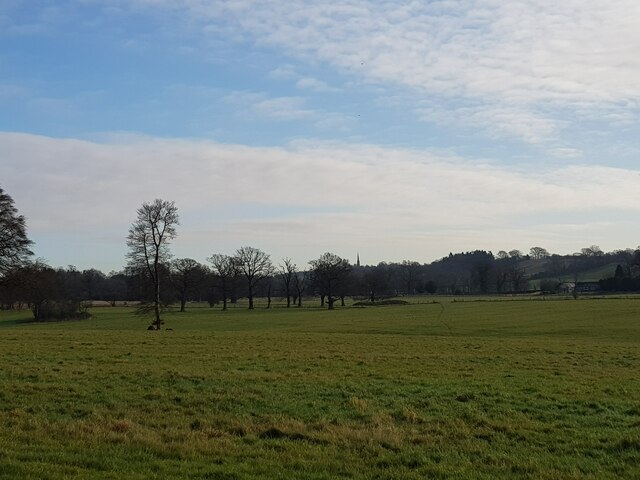
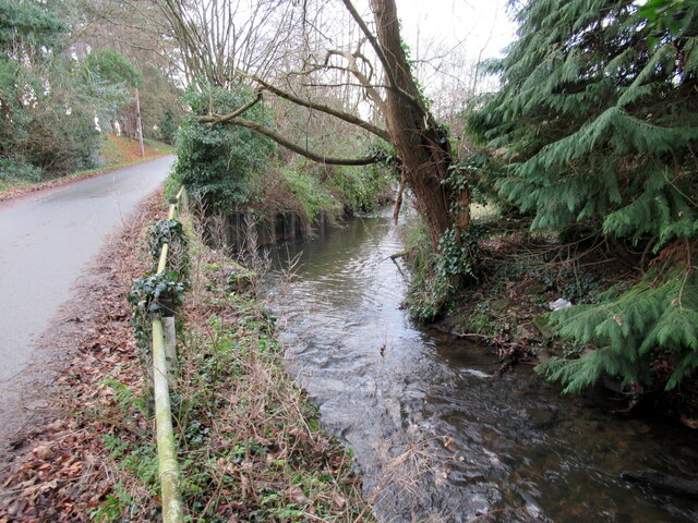
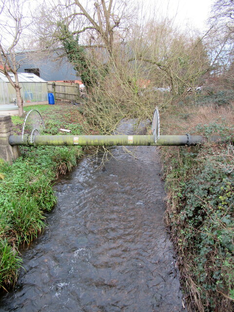
Copyholt is a small village located in the county of Worcestershire, England. Situated approximately 13 miles south-west of the city of Birmingham, Copyholt is nestled within the Bromsgrove district. The village is surrounded by picturesque countryside, offering residents and visitors a peaceful and idyllic setting.

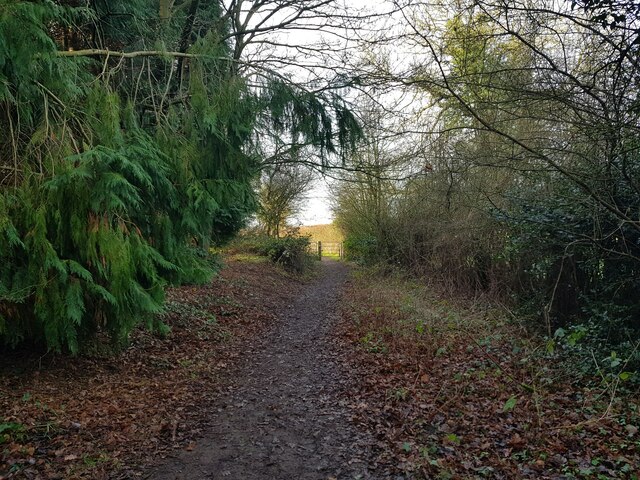
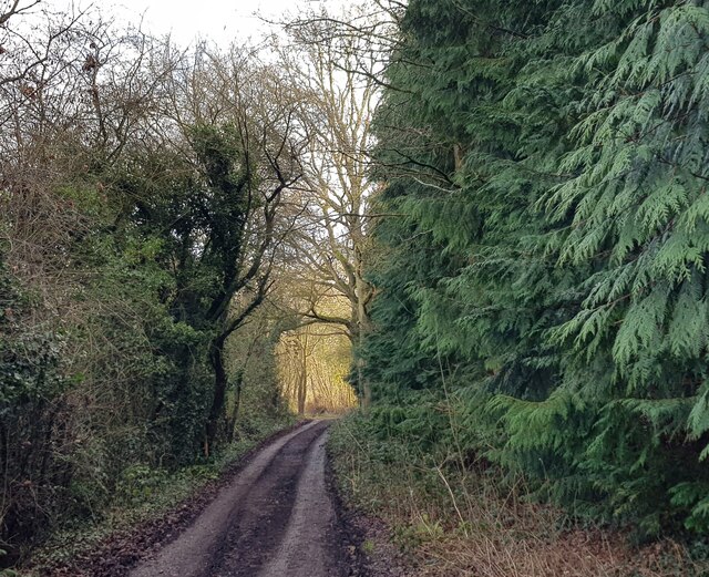
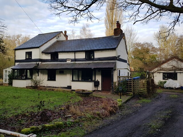
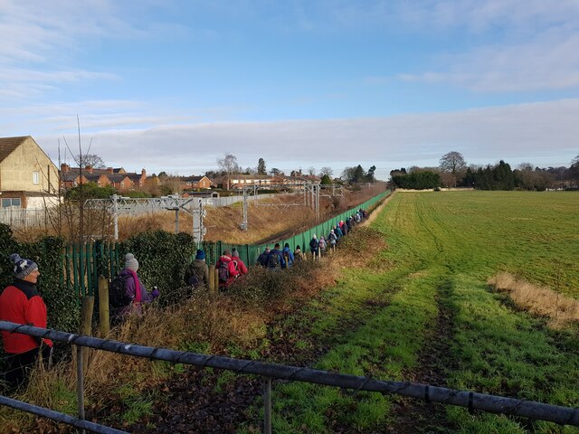
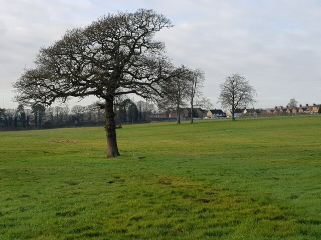
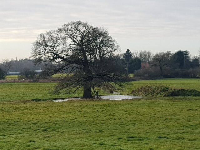
With a population of around 400 people, Copyholt retains its quaint and rural charm. The village is characterized by its traditional architecture, including a mix of historic cottages and more modern houses. The landscape is dotted with green fields, rolling hills, and patches of woodland, providing ample opportunities for outdoor activities such as walking, cycling, and wildlife spotting.

Despite its small size, Copyholt benefits from a strong sense of community. The village has a local pub, The Copyholt Inn, which serves as a hub for social gatherings and events. Additionally, Copyholt hosts an annual village fete, where residents come together to celebrate and enjoy various attractions and activities.

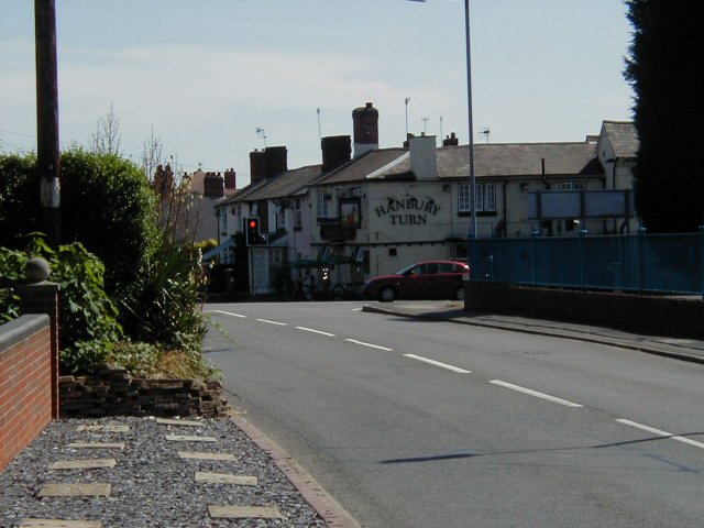
For amenities and services, residents of Copyholt have easy access to nearby towns such as Bromsgrove, which provides a range of shops, supermarkets, schools, and healthcare facilities. The village is well-connected by road, with the A38 passing close by, offering convenient links to Birmingham and other surrounding areas.

Copyholt offers a tranquil retreat from the bustle of city life, making it an attractive place to live for those seeking a peaceful countryside lifestyle within reach of urban amenities.

If you have any feedback on the listing, please let us know in the comments section below.
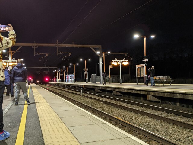
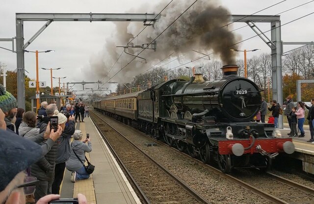
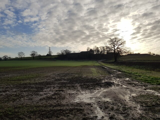
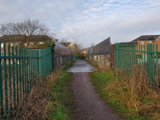
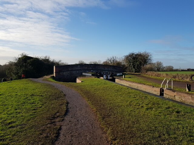
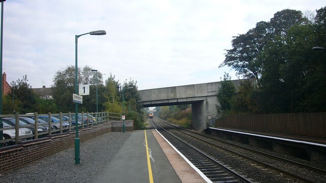
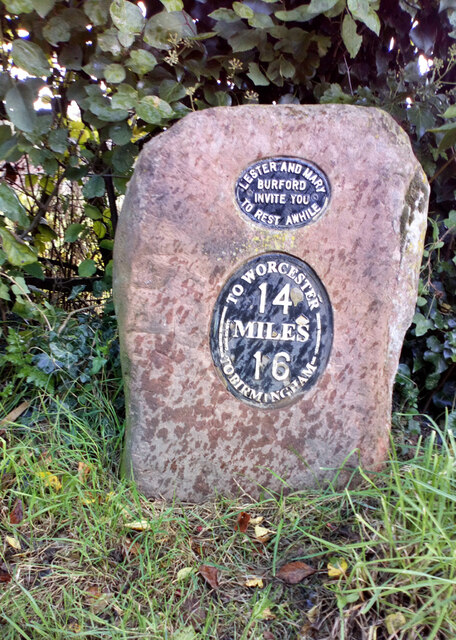
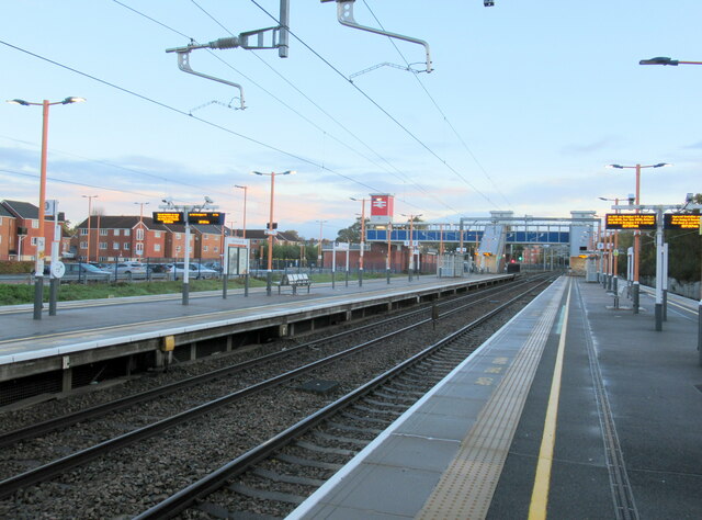
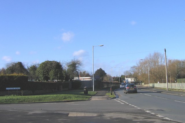
Copyholt Images

Images are sourced within 2km of 52.306203/-2.0436905 or Grid Reference SO9767. Thanks to Geograph Open Source API. All images are credited.

Bromsgrove station, 6233 The Duchess of Sutherland approaching A full day excursion over Midland main lines hauled by Britain’s most powerful steam locomotive! The Duchess is on her way back from Bristol Temple Meads and is charging through Bromsgrove station to tackle the famous 1 in 37 Lickey Bank. This two-mile gradient is the steepest sustained main line railway incline in Great Britain
Bromsgrove station, 6233 The Duchess of Sutherland approaching
A full day excursion over Midland main lines hauled by Britain’s most powerful steam locomotive! The Duchess is on her way back from Bristol Temple Meads and is charging through Bromsgrove station to tackle the famous 1 in 37 Lickey Bank. This two-mile gradient is the steepest sustained main line railway incline in Great Britain
7029 Clun Castle storming through Bromsgrove station ready to tackle the Lickey Incline
Fields between railway and Stoke Court
Footbridge over the railway, Aston Fields, Bromsgrove
Lane near Maidsmere Cottage looking West
Lane near Maidsmere Cottage looking east
Maidsmere Cottage, Lower Gambolds Lane, Finstall, Bromsgrove
Walkers taking a path by the railway, Bromsgrove
View from Monarch's Way to distant Tardebigge Church
Looking to Bromsgrove across Finstall Park From the Monarch's Way Footpath.
Looking to Bromsgrove across Finstall Park
From the Monarch's Way Footpath.
Tree and Pond, Finstall Park, Bromsgrove Taken from the Monarch's Way Path.
Tree and Pond, Finstall Park, Bromsgrove
Taken from the Monarch's Way Path.
Winter Heliotrope - Petasites fragrans Next to the Worcester and Birmingham Canal above the Tardebigge Reservoir.
Winter Heliotrope - Petasites fragrans
Next to the Worcester and Birmingham Canal above the Tardebigge Reservoir.
Lock and Grimley Lane Bridge The Worcester and Birmingham Canal.
Lock and Grimley Lane Bridge
The Worcester and Birmingham Canal.
Bromsgrove Station Lower end of the Lickey Incline.
Bromsgrove Station
Lower end of the Lickey Incline.
Canal Milestone, Stoke Pound Opposite the Queens Head public house on the towpath of the Worcester & Birmingham Canal. These are relatively modern, erected by the Worcester & Birmingham Canal Society. 

Inscription: To Worcester / 14 / Miles / 16 / To Birmingham
top Inscription: Lester and Mary / Burford / invite you / to rest awhile

Milestone Society National ID: WOR-14R
Canal Milestone, Stoke Pound
Opposite the Queens Head public house on the towpath of the Worcester & Birmingham Canal. These are relatively modern, erected by the Worcester & Birmingham Canal Society. Inscription: To Worcester / 14 / Miles / 16 / To Birmingham top Inscription: Lester and Mary / Burford / invite you / to rest awhile Milestone Society National ID: WOR-14R
Bromsgrove station
Bromsgrove station
The Sugar Brook joins the River Salwarpe
The Sugar Brook at the Buntsford Hill bridge looking north
Show me another place!

Copyholt is located at Grid Ref: SO9767 (Lat: 52.306203, Lng: -2.0436905)

Administrative County: Worcestershire

District: Bromsgrove

Police Authority: West Merica

What 3 Words

///anyway.random.leaves. Near Stoke Prior, Worcestershire

Nearby Locations

Copyholt

Related Wikis

Tardebigge Lake

Tardebigge Lake is a large feeder reservoir, about 25 acres (100,000 m2) in size, built to supply water for the famous flight of locks running from Tardebigge...

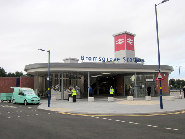
Bromsgrove railway station

Bromsgrove Railway Station serves the town of Bromsgrove in Worcestershire, England. It is located at the foot of the two-mile Lickey Incline which ascends...

Aston Fields

Aston Fields is a village in the district of Bromsgrove, Worcestershire, United Kingdom. It is situated to the south of Bromsgrove and is the site of Bromsgrove...

Avoncroft Museum of Historic Buildings

Avoncroft Museum of Historic Buildings is an open-air museum of rescued buildings which have been relocated to its site in Stoke Heath, a district of Bromsgrove...

Tardebigge Engine House

Tardebigge Engine House (grid reference SO988689) is a former canal-pumping engine house at Tardebigge, Worcestershire, England. It is grade II listed...

South Bromsgrove High School

South Bromsgrove High School (SBHS) is a co-educational, upper school and sixth form with academy status, located in Bromsgrove, Worcestershire, England...

Stoke Heath, Worcestershire

Stoke Heath is an area in the south of Bromsgrove, Worcestershire, England. Originally a small village near Bromsgrove, it has been absorbed into Bromsgrove...

Charford

Charford is a small village located close to the town centre of Bromsgrove in Worcestershire, England. == History == Charford used to be farm land with...

Nearby Amenities

Located within 500m of 52.306203,-2.0436905
Seamark Type: gate
Waterway: lock_gate
Lat/Long: 52.3088042/-2.0487697
Seamark Type: gate
Waterway: lock_gate
Lat/Long: 52.308998/-2.0470888
Seamark Type: gate
Waterway: lock_gate
Lat/Long: 52.3104903/-2.0433898
Seamark Type: gate
Waterway: lock_gate
Lat/Long: 52.3095837/-2.0455425
Seamark Type: gate
Waterway: lock_gate
Lat/Long: 52.3094643/-2.0458427
Seamark Type: gate
Waterway: lock_gate
Lat/Long: 52.3106071/-2.043089
Seamark Type: gate
Waterway: lock_gate
Lat/Long: 52.3101165/-2.0442678
Seamark Type: gate
Waterway: lock_gate
Lat/Long: 52.3099905/-2.0445592
Seamark Type: gate
Waterway: lock_gate
Lat/Long: 52.3091142/-2.0467842
Barrier: stile
Lat/Long: 52.3067271/-2.0485966
Barrier: stile
Lat/Long: 52.3086555/-2.0485393
Seamark Type: gate
Waterway: lock_gate
Lat/Long: 52.308847/-2.0491056
Generator Method: photovoltaic
Generator Output Electricity: yes
Generator Source: solar
Generator Type: solar_photovoltaic_panel
Location: ground
Power: generator
Lat/Long: 52.3057694/-2.0413904
Generator Method: photovoltaic
Generator Output Electricity: yes
Generator Source: solar
Generator Type: solar_photovoltaic_panel
Location: ground
Power: generator
Lat/Long: 52.3058104/-2.041377
Barrier: stile
Lat/Long: 52.3083141/-2.0484054
Barrier: stile
Lat/Long: 52.3082748/-2.0483917
Power: pole
Lat/Long: 52.3095798/-2.0402075
Power: pole
Lat/Long: 52.3077144/-2.0401874
Power: pole
Lat/Long: 52.3069157/-2.0401794
Power: pole
Lat/Long: 52.3063218/-2.0401731
Copyholt
Power: pole
Transformer: distribution
Voltage Primary: 11000
Lat/Long: 52.3059322/-2.0401445
Power: pole
Lat/Long: 52.3055119/-2.0394619
Power: pole
Lat/Long: 52.3051244/-2.0388403
Power: pole
Lat/Long: 52.3046189/-2.0380014
Power: pole
Lat/Long: 52.3085623/-2.0402008
Uplands
Power: pole
Transformer: distribution
Voltage Primary: 11000
Lat/Long: 52.3067809/-2.0503195
Dell Cottage
Power: pole
Transformer: distribution
Voltage Primary: 11000
Lat/Long: 52.3085479/-2.0476862
Power: pole
Lat/Long: 52.3082285/-2.0478377
Power: pole
Lat/Long: 52.3078764/-2.0492486
Power: pole
Lat/Long: 52.3076246/-2.0501672
The data included in this document is from www.openstreetmap.org. The data is made available under ODbL.

Have you been to Copyholt?

Leave your review of Copyholt below (or comments, questions and feedback).