Coppy

Settlement in Durham

England

Coppy

East Tanfield Station, Tanfield Railway The southern terminus of the world's oldest working railway.
East Tanfield Station, Tanfield Railway Credit: Alan Fearon

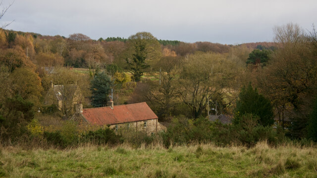
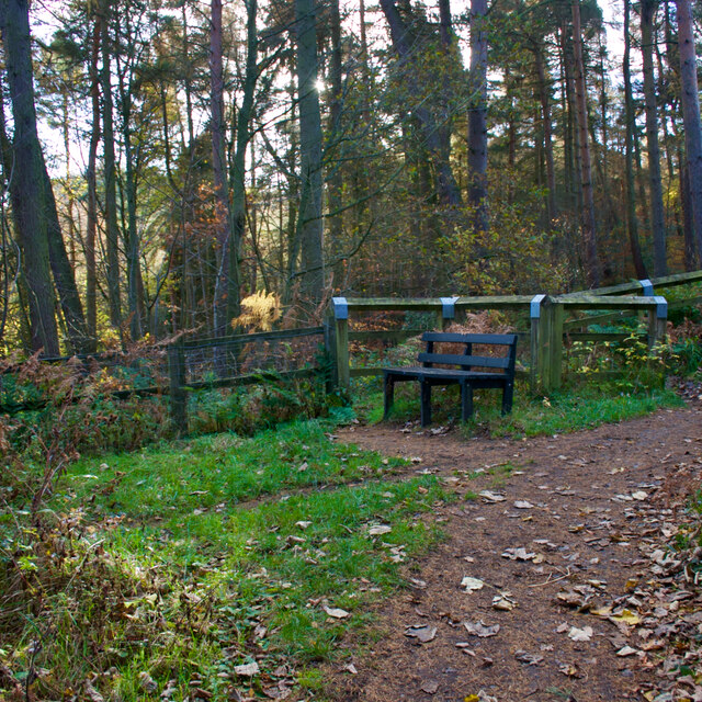
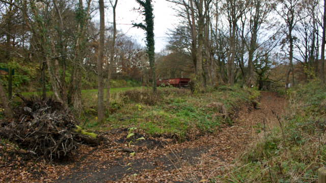
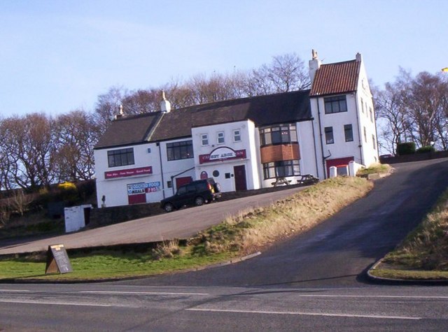
Coppy is a small village located in the county of Durham in northeastern England. Situated approximately 12 miles southwest of Durham city, it falls within the larger area of Weardale. Nestled amidst picturesque countryside, Coppy offers a tranquil and idyllic setting for its residents and visitors alike.

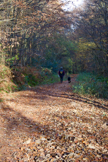
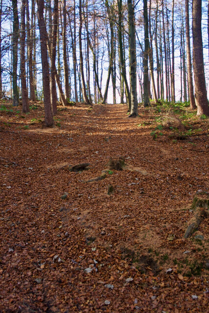
The village is characterized by its charming stone-built houses, many of which date back several centuries, giving Coppy a quaint and nostalgic atmosphere. Surrounded by rolling hills, lush green fields, and woodlands, it is an ideal destination for nature lovers and those seeking a peaceful retreat from the bustling city life.

Despite its small size, Coppy boasts a strong sense of community. The village is home to a close-knit population, and residents take pride in maintaining the village's heritage and traditions. Local events and gatherings, such as the annual summer fair and harvest festival, provide opportunities for villagers to come together and celebrate.

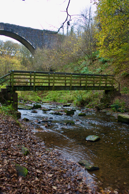
Coppy's location offers easy access to outdoor activities and recreational pursuits. The nearby Weardale Way, a long-distance footpath, attracts hikers and nature enthusiasts who can explore the stunning landscapes and panoramic views. Additionally, the village is within close proximity to the River Wear, providing opportunities for fishing and boating.

While Coppy may lack the amenities and services found in larger towns, it benefits from its close proximity to neighboring communities, where residents can find shops, schools, and healthcare facilities. Overall, Coppy offers a charming and peaceful retreat in the heart of Durham's countryside, making it an appealing destination for those seeking a slower pace of life.

If you have any feedback on the listing, please let us know in the comments section below.

Coppy Images

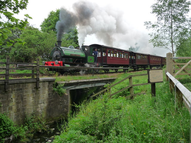
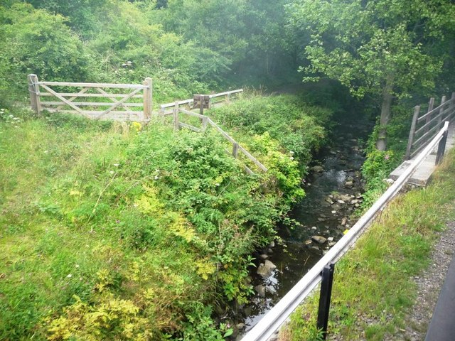
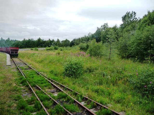
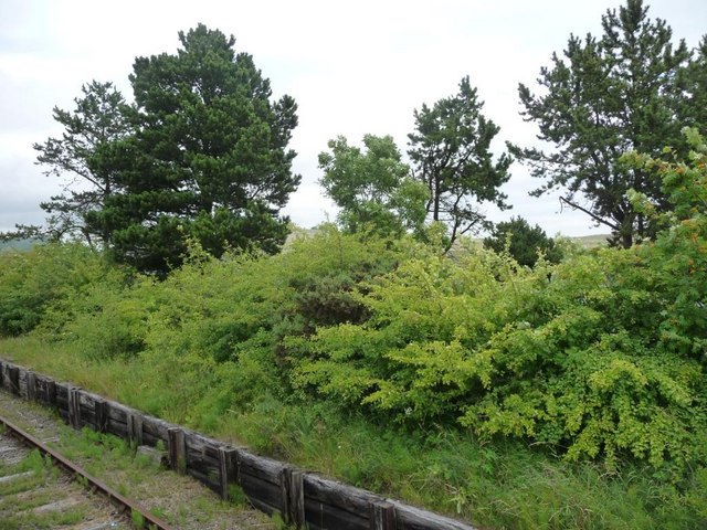
Images are sourced within 2km of 54.889955/-1.6713712 or Grid Reference NZ2155. Thanks to Geograph Open Source API. All images are credited.

East Tanfield Station, Tanfield Railway The southern terminus of the world's oldest working railway.
East Tanfield Station, Tanfield Railway
The southern terminus of the world's oldest working railway.
Fields after Emerging from woods after crossing Causey Arch This shows the cross country route to Tanfield Hall
Fields after Emerging from woods after crossing Causey Arch
This shows the cross country route to Tanfield Hall
Field adjoining minor road that links Causey with Tanfield
Beware of trains At a foot crossing on the Tanfield Railway.
Beware of trains
At a foot crossing on the Tanfield Railway.
Fortune Hill
Fortune Hill
East Tanfield Renishaw Ironworks No 6 backs onto a passenger train.
East Tanfield
Renishaw Ironworks No 6 backs onto a passenger train.
Tanfield Railway Tanfield Railway near East Tanfield Station. The steam engine is "Sir Cecil A Cochrane".
Tanfield Railway
Tanfield Railway near East Tanfield Station. The steam engine is "Sir Cecil A Cochrane".
Stream alongside railway Taken from an open window on a Tanfield Railway train.
Stream alongside railway
Taken from an open window on a Tanfield Railway train.
The approach to East Tanfield station Taken from an open window on a Tanfield Railway train.
The approach to East Tanfield station
Taken from an open window on a Tanfield Railway train.
Hedgerow alongside railway Taken from an open window on a Tanfield Railway train.
Hedgerow alongside railway
Taken from an open window on a Tanfield Railway train.
Bridge carrying railway path This bridge on the N. side of the County Durham town of Stanley now carries the Consett & Sunderland Railway Path. The structure replaced the original railway bridge.
Bridge carrying railway path
This bridge on the N. side of the County Durham town of Stanley now carries the Consett & Sunderland Railway Path. The structure replaced the original railway bridge.
A track through the delightfully named Hellhole Wood
Beech woodland, Hellhole Wood
Beamish Burn
Beamish Burn
Bench, Carrickshill Wood
The old Causey Arch station
Footbridge over the Causey Burn With some other bridge behind.
Footbridge over the Causey Burn
With some other bridge behind.
Ruin, Andrew's House
Show me another place!

Coppy is located at Grid Ref: NZ2155 (Lat: 54.889955, Lng: -1.6713712)

Unitary Authority: County Durham

Police Authority: Durham

What 3 Words

///shams.tight.mows. Near Tanfield, Co. Durham

Related Wikis

Beamish Hall

Beamish Hall is a mid-18th-century country house, now converted to a hotel, which stands in 24 acres (97,000 m2) of grounds near the town of Stanley, County...

Beamish Museum

Beamish Museum is the first regional open-air museum, in England, located at Beamish, near the town of Stanley, in County Durham, England. Beamish pioneered...

Beamish Museum transport collection

Beamish Museum contains much of transport interest, and the size of its site makes good internal transportation for visitors and staff purposes a necessity...

Causey, County Durham

Causey is a village in County Durham, in England. It is situated a short distance to the north of Stanley. == Demographic Information == Village contains...

Causey Bank Mires

Causey Bank Mires is a Site of Special Scientific Interest in the Derwentside district of County Durham, England. It lies alongside and to the west of...

Kip Hill

Kip Hill is a village in County Durham, in England. It is situated directly to the north of Stanley, near Shield Row. It has two pubs, the Blue Bell Inn...

High Forge

High Forge is a hamlet in County Durham, England. It is situated a short distance to the west of Urpeth, north of Beamish. == References ==

Beamish railway station

Beamish was a railway station which served the village of Beamish in County Durham, North East England, from 1894 to 1953. The station was built by the...

Nearby Amenities

Located within 500m of 54.889955,-1.6713712
Disused Tourism: attraction
Old Name: Beamish Wild Birds of Prey Conservation Centre
Lat/Long: 54.8878595/-1.6728191
Disused Tourism: attraction
Old Name: Beamish Wild Ropes Activity Centre
Lat/Long: 54.8884399/-1.6724683
Railway: switch
Lat/Long: 54.888358/-1.6651385
Railway: switch
Lat/Long: 54.8887512/-1.6638735
Railway: switch
Lat/Long: 54.8885491/-1.6641685
Railway: switch
Lat/Long: 54.8884812/-1.6647237
Crossing Barrier: full
Railway: level_crossing
Lat/Long: 54.888302/-1.6652579
Crossing Barrier: full
Railway: level_crossing
Lat/Long: 54.8882779/-1.6652249
Barrier: bollard
Lat/Long: 54.8903965/-1.6713247
Man Made: crane
Mapillary: 1114780985928628
Lat/Long: 54.8884716/-1.6643784
Turning Circle
Lat/Long: 54.8900414/-1.6710208
Power: pole
Lat/Long: 54.8863507/-1.6670492
Power: pole
Lat/Long: 54.8863422/-1.6671042
Power: pole
Lat/Long: 54.8863171/-1.6672719
Power: pole
Lat/Long: 54.886147/-1.6683984
Power: pole
Lat/Long: 54.8859372/-1.6697046
Power: pole
Lat/Long: 54.8857397/-1.6710122
Bench
Backrest: yes
Mapillary: 403291048102127
Lat/Long: 54.888811/-1.663967
Bench
Backrest: no
Mapillary: 588802662169181
Lat/Long: 54.8886361/-1.6646456
Mapillary: 1528345347528775
Railway: signal
Lat/Long: 54.8884997/-1.6645809
Mapillary: 1528345347528775
Railway: signal
Lat/Long: 54.8885391/-1.6647553
Content: water
Man Made: storage_tank
Lat/Long: 54.8882687/-1.6654587
The data included in this document is from www.openstreetmap.org. The data is made available under ODbL.

Have you been to Coppy?

Leave your review of Coppy below (or comments, questions and feedback).