Common Side

Settlement in Yorkshire

England

Common Side

Field west of Pilden Lane With a horse box on the far side.
Field west of Pilden Lane Credit: Stephen Craven

Common Side is a charming village located in the county of Yorkshire, England. Situated amidst the picturesque countryside, it offers a tranquil and idyllic setting for its residents and visitors alike. With a population of approximately 500 people, Common Side is known for its close-knit community and friendly atmosphere.

The village is characterized by its traditional stone cottages, which exude a sense of rustic charm and heritage. The surrounding landscape is dominated by lush green fields, rolling hills, and meandering streams, all of which contribute to the area's natural beauty. Common Side is particularly popular among nature enthusiasts, offering ample opportunities for hiking, cycling, and exploring the outdoors.

Despite being a small village, Common Side boasts a range of amenities to cater to its residents' needs. These include a local pub, a village hall, and a small convenience store, ensuring that essential goods and services are readily accessible. The village also benefits from a primary school, providing education for the local children.

Common Side's central location within Yorkshire allows for convenient access to nearby towns and cities. The village is well-connected by road networks, making it easy to explore the wider region. Additionally, the surrounding area is dotted with historical landmarks, including ancient churches and stately homes, providing a glimpse into the area's rich heritage.

Overall, Common Side offers a peaceful and scenic retreat, ideal for those seeking a slower pace of life amidst the beauty of the Yorkshire countryside.

If you have any feedback on the listing, please let us know in the comments section below.
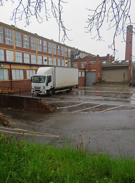
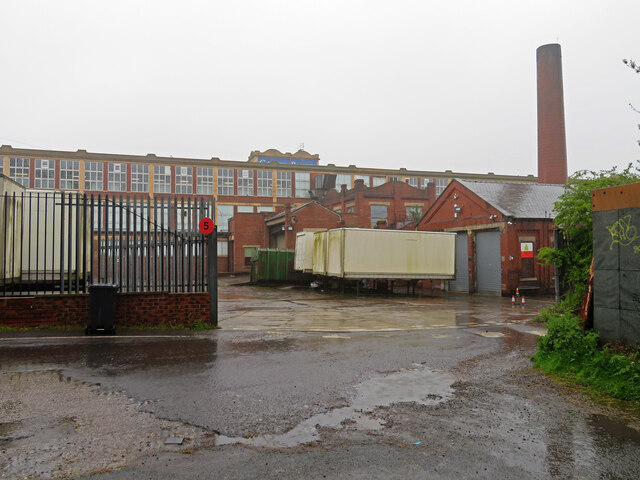
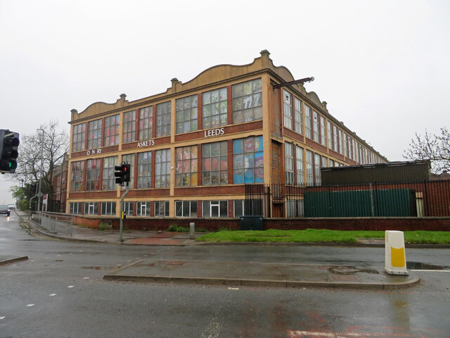
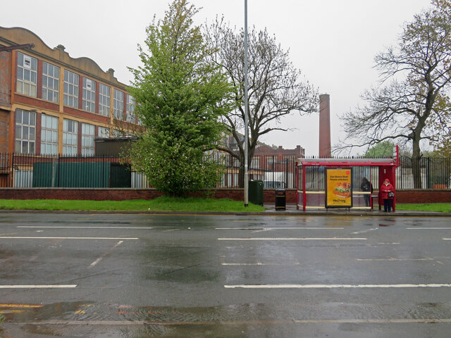
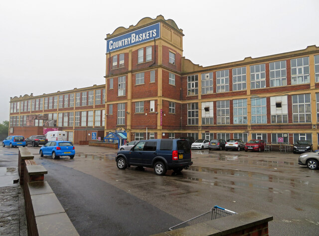
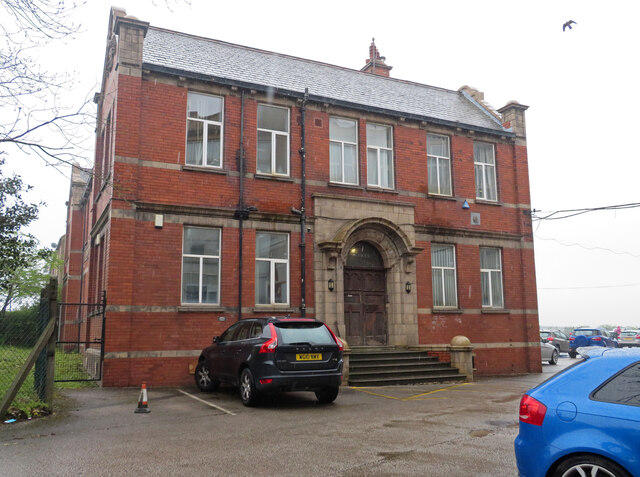
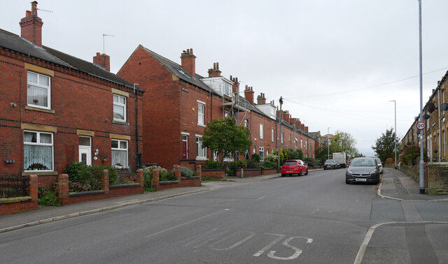
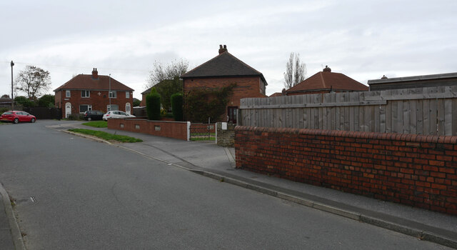
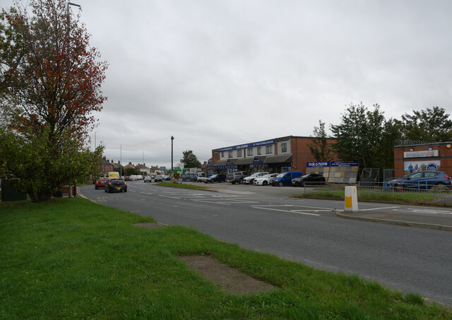
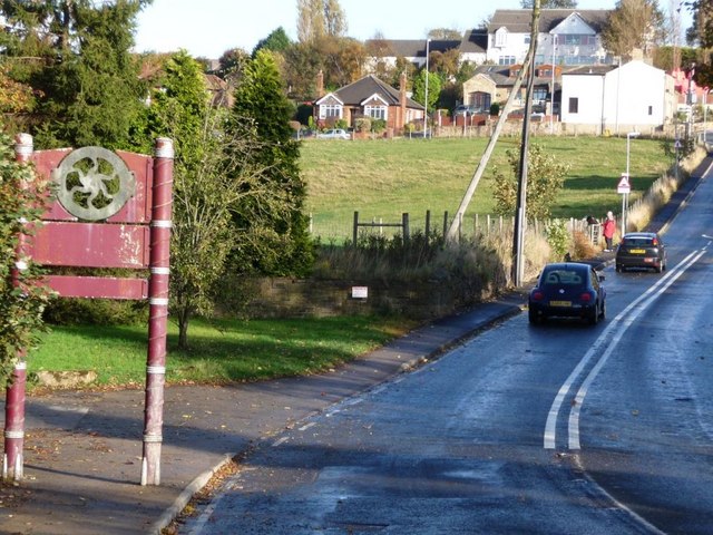
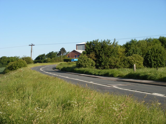
Common Side Images

Images are sourced within 2km of 53.714413/-1.5713964 or Grid Reference SE2824. Thanks to Geograph Open Source API. All images are credited.

Field west of Pilden Lane With a horse box on the far side.
Field west of Pilden Lane
With a horse box on the far side.
Trees on a field boundary Seen from the Leeds Country Way.
Trees on a field boundary
Seen from the Leeds Country Way.
M1 underpass This subway is longer than most, at about 60 metres, as it carries not only the main carriageway but also slip roads to Junction 41.
M1 underpass
This subway is longer than most, at about 60 metres, as it carries not only the main carriageway but also slip roads to Junction 41.
Diverted footpath This footpath has been diverted from the route shown on my printed Explorer map (2013 edition). It now runs round three sides of the West Yorkshire Police training centre (to the left, behind the security fence and trees). The date of the map, and John Slater's 2013 view of the section round the north side of the site, give this as a rough date for its construction <a href="https://www.geograph.org.uk/photo/3458244">SE3024 : Footpath approaching the M1 near Junction 41</a>.
Diverted footpath
This footpath has been diverted from the route shown on my printed Explorer map (2013 edition). It now runs round three sides of the West Yorkshire Police training centre (to the left, behind the security fence and trees). The date of the map, and John Slater's 2013 view of the section round the north side of the site, give this as a rough date for its construction SE3024 : Footpath approaching the M1 near Junction 41.
Field south of the M1 A recently ploughed and tilled field.
Field south of the M1
A recently ploughed and tilled field.
Shops on Bradford Road, East Ardsley Including Julie's Kitchen and the Dental Studio <a href="https://www.geograph.org.uk/photo/3332491">SE3025 : The Dental Studio - Bradford Road</a>.
Shops on Bradford Road, East Ardsley
Including Julie's Kitchen and the Dental Studio SE3025 : The Dental Studio - Bradford Road.
NuEra Aesthetics, Bradford Road, East Ardsley A 'skin and laser centre'.
NuEra Aesthetics, Bradford Road, East Ardsley
A 'skin and laser centre'.
The Carpet Mill, Bradford Road, East Ardsley Another contributor identifies this as a former Methodist chapel of 1869 <a href="https://www.geograph.org.uk/photo/3332337">SE3025 : The Carpet Mill - Bradford Road</a>.
The Carpet Mill, Bradford Road, East Ardsley
Another contributor identifies this as a former Methodist chapel of 1869 SE3025 : The Carpet Mill - Bradford Road.
Puffin crossing, Bradford Road, East Ardsley The A650 is a busy road at times, despite a ban on through HGV traffic, so the crossing is much needed. Less so on a Sunday afternoon.
Puffin crossing, Bradford Road, East Ardsley
The A650 is a busy road at times, despite a ban on through HGV traffic, so the crossing is much needed. Less so on a Sunday afternoon.
Ardsley Mills, East Ardsley Steam powered worsted spinning mill built in 1912 by Thomas Ambler and Sons. This very distinctive mill was built with a reinforced concrete frame on the Hennebique system with infill by large windows and red brick. The engine house still survives along with the truncated chimney. The weather has degraded the image as it was raining and dull.
As far as I can see this important building has no statutory protection. It is currently owned by Country Baskets.
Ardsley Mills, East Ardsley
Steam powered worsted spinning mill built in 1912 by Thomas Ambler and Sons. This very distinctive mill was built with a reinforced concrete frame on the Hennebique system with infill by large windows and red brick. The engine house still survives along with the truncated chimney. The weather has degraded the image as it was raining and dull. As far as I can see this important building has no statutory protection. It is currently owned by Country Baskets.
Ardsley Mills office block, East Ardsley Steam powered worsted spinning mill built in 1912 by Thomas Ambler and Sons. This very distinctive mill was built with a reinforced concrete frame on the Hennebique system with infill by large windows and red brick. The engine house still survives along with the truncated chimney. The weather has degraded the image as it was raining and dull.
As far as I can see this important building has no statutory protection. It is currently owned by Country Baskets.
This view, however, is of the adjoining office block.
Ardsley Mills office block, East Ardsley
Steam powered worsted spinning mill built in 1912 by Thomas Ambler and Sons. This very distinctive mill was built with a reinforced concrete frame on the Hennebique system with infill by large windows and red brick. The engine house still survives along with the truncated chimney. The weather has degraded the image as it was raining and dull. As far as I can see this important building has no statutory protection. It is currently owned by Country Baskets. This view, however, is of the adjoining office block.
Common Lane, East Ardsley
The Grove, East Ardsley
Bradford Road (A650), East Ardsley The A650 runs 25 miles south east - north west through West Yorkshire, from Wakefield to Keighley.
<span class="nowrap"><a title="http://www.sabre-roads.org.uk/wiki/index.php?title=A650" rel="nofollow ugc noopener" href="http://www.sabre-roads.org.uk/wiki/index.php?title=A650">Link</a><img style="margin-left:2px;" alt="External link" title="External link - shift click to open in new window" src="https://s1.geograph.org.uk/img/external.png" width="10" height="10"/></span>
Bradford Road (A650), East Ardsley
The A650 runs 25 miles south east - north west through West Yorkshire, from Wakefield to Keighley. LinkExternal link
Show me another place!

Common Side is located at Grid Ref: SE2824 (Lat: 53.714413, Lng: -1.5713964)

Division: West Riding

Unitary Authority: Leeds

Police Authority: West Yorkshire

What 3 Words

///winner.cult.tanks. Near Morley, West Yorkshire

Related Wikis

Beggarington Hill

Beggarington Hill is a hamlet in the county of West Yorkshire, England, in the City of Leeds and at the border of Kirklees. Historically, it was part of...

Jaw Hill

Jaw Hill is a hill in the City of Leeds district of West Yorkshire, England. It is near Kirkhamgate in the City of Wakefield district. == History == A...

Woodkirk Priory

Woodkirk Priory was a cell of Augustinian Canons in West Yorkshire, England. William, second earl of Warenne (d. 1138), had granted the land for its foundation...

Woodkirk

Woodkirk is an ancient village between Leeds and Dewsbury, West Yorkshire, England. The parish church is a grade II listed building. It is traditionally...

Woodkirk railway station

Woodkirk railway station was a Great Northern Railway (GNR) station on the Batley to Beeston line, which connected Batley to Leeds Central, in West Yorkshire...

Tingley

Tingley is a suburban village in the City of Leeds in West Yorkshire, Northern England, forming part of the parish of West Ardsley. Tingley forms part...

Woodkirk Academy

Woodkirk Academy (formerly Woodkirk High School) is an academy located in Tingley, West Yorkshire, England. Established in 1948, the school now has over...

Tingley railway station

Tingley railway station served the settlement of Tingley, West Yorkshire, England, from 1857 to 1966 on the Leeds, Bradford and Halifax Junction Railway...

Nearby Amenities

Located within 500m of 53.714413,-1.5713964
Traffic Calming: table
Lat/Long: 53.7145608/-1.5755721
Traffic Calming: table
Lat/Long: 53.7133663/-1.5730683
Power: tower
Lat/Long: 53.7127934/-1.5760292
Turning Circle
Lat/Long: 53.7163043/-1.5747658
Turning Circle
Lat/Long: 53.7156784/-1.5755686
Turning Circle
Lat/Long: 53.7142595/-1.5780461
Traffic Signals
Lat/Long: 53.7156161/-1.5778074
Crossing
Crossing: traffic_signals
Crossing Island: no
Kerb: lowered
Tactile Paving: yes
Lat/Long: 53.7155427/-1.5776513
Bus Stop
Commonside
Bench: no
Bin: no
Lit: no
Local Ref: 45016096
Naptan AtcoCode: 450016096
Naptan Bearing: SE
Naptan CommonName: Commonside
Naptan Crossing: Haigh Moor Road
Naptan Indicator: Stop 45016096
Naptan PlusbusZoneRef: LEEDS
Naptan ShortCommonName: Haigh Moor Road
Naptan Street: Batley Road
Naptan Verified: yes
Ref: 45016096
Shelter: no
Source: naptan_import
Tactile Paving: no
Lat/Long: 53.7131484/-1.572509
Bus Stop
Commonside West Ardsley
Local Ref: 45016095
Naptan AtcoCode: 450016095
Naptan Bearing: N
Naptan CommonName: Commonside West Ardsley
Naptan Crossing: Batley Road
Naptan Indicator: Stop 45016095
Naptan Landmark: Church
Naptan PlusbusZoneRef: LEEDS
Naptan ShortCommonName: Batley Road
Naptan Street: Haigh Moor Road
Naptan Verified: yes
Ref: 45016095
Source: naptan_import
Lat/Long: 53.7137621/-1.5728249
Barrier: stile
Material: stone
Stile: stepover
Lat/Long: 53.7133185/-1.5730579
Post Box
Operator: Royal Mail
Post Box Type: lamp
Ref: WF3 232
Royal Cypher: EIIR
Royal Cypher Wikidata: Q33102113
Lat/Long: 53.7169249/-1.5712299
Power: substation
Lat/Long: 53.7177931/-1.5735173
West Ardsley
Place: suburb
Wikidata: Q7984320
Wikipedia: en:West Ardsley
Lat/Long: 53.717965/-1.5726504
Batley Road
Naptan AtcoCode: 450015847
Naptan Bearing: NW
Naptan BusStopType: CUS
Naptan CommonName: Batley Road
Naptan Landmark: Unknown
Naptan ShortCommonName: Batley Road
Naptan Street: Batley Road
Naptan Verified: no
Source: naptan_import
Lat/Long: 53.7120916/-1.570612
Bus Stop
Haigh Moor Road Holly Court
Local Ref: 45016092
Naptan AtcoCode: 450016092
Naptan Bearing: S
Naptan CommonName: Haigh Moor Road Holly Court
Naptan Crossing: Holly Court
Naptan Indicator: Stop 45016092
Naptan PlusbusZoneRef: LEEDS
Naptan ShortCommonName: Holly Court
Naptan Street: Haigh Moor Road
Naptan Verified: yes
Ref: 45016092
Shelter: no
Source: naptan_import
Lat/Long: 53.7171712/-1.5709391
Bus Stop
Haigh Moor Road Redhill Drive
Local Ref: 45016093
Naptan AtcoCode: 450016093
Naptan Bearing: S
Naptan CommonName: Haigh Moor Road Redhill Drive
Naptan Crossing: Redhill Drive
Naptan Indicator: Stop 45016093
Naptan PlusbusZoneRef: LEEDS
Naptan ShortCommonName: Redhill Drive
Naptan Street: Haigh Moor Road
Naptan Verified: yes
Ref: 45016093
Source: naptan_import
Lat/Long: 53.7150538/-1.5720213
Bus Stop
Haigh Moor Road Redhill Drive
Local Ref: 45016094
Naptan AtcoCode: 450016094
Naptan Bearing: N
Naptan CommonName: Haigh Moor Road Redhill Drive
Naptan Crossing: Redhill Drive
Naptan Indicator: Stop 45016094
Naptan PlusbusZoneRef: LEEDS
Naptan ShortCommonName: Redhill Drive
Naptan Street: Haigh Moor Road
Naptan Verified: yes
Source: naptan_import
Lat/Long: 53.7150185/-1.5721883
Bus Stop
Batley Road Haigh Moor Road
Bench: yes
Bin: no
Check Date Shelter: 2024-03-15
Local Ref: 45016097
Naptan AtcoCode: 450016097
Naptan Bearing: NW
Naptan CommonName: Batley Road Haigh Moor Road
Naptan Crossing: Haigh Moor Road
Naptan Indicator: Stop 45016097
Naptan PlusbusZoneRef: LEEDS
Naptan ShortCommonName: Haigh Moor Road
Naptan Street: Batley Road
Naptan Verified: yes
Ref: 45016097
Shelter: yes
Source: naptan_import
Tactile Paving: no
Lat/Long: 53.713516/-1.5735173
Bus Stop
Batley Road
Check Date Shelter: 2024-03-29
Local Ref: 45016098
Naptan AtcoCode: 450016098
Naptan Bearing: NW
Naptan CommonName: Batley Road
Naptan Crossing: Woollin Avenue
Naptan Indicator: Stop 45016098
Naptan PlusbusZoneRef: LEEDS
Naptan ShortCommonName: Woollin Avenue
Naptan Street: Batley Road
Naptan Verified: yes
Ref: 45016098
Shelter: yes
Source: naptan_import
Lat/Long: 53.7147719/-1.5761607
Bus Stop
Batley Road
Local Ref: 45016309
Naptan AtcoCode: 450016309
Naptan Bearing: SE
Naptan CommonName: Batley Road
Naptan Crossing: Nr-At Haigh Moor Road (Kirkhamgate Side)
Naptan Indicator: Stop 45016309
Naptan Landmark: Haigh Hall Farm
Naptan PlusbusZoneRef: LEEDS
Naptan ShortCommonName: Haigh Hall Farm
Naptan Street: Batley Road
Naptan Verified: no
Source: naptan_import
Lat/Long: 53.7121721/-1.5705051
Haigh Moor Road Holly Court
Local Ref: 45050379
Naptan AtcoCode: 450050379
Naptan Bearing: N
Naptan BusStopType: CUS
Naptan CommonName: Haigh Moor Road Holly Court
Naptan Indicator: Stop 45050379
Naptan PlusbusZoneRef: LEEDS
Naptan ShortCommonName: Haigh Moor Avenue
Naptan Street: Haigh Moor Road
Naptan Verified: no
Source: naptan_import
Lat/Long: 53.7171897/-1.5710753
Batley Road Woollin Avenue
Local Ref: 45050380
Naptan AtcoCode: 450050380
Naptan Bearing: SE
Naptan BusStopType: CUS
Naptan CommonName: Batley Road Woollin Avenue
Naptan Indicator: Stop 45050380
Naptan PlusbusZoneRef: LEEDS
Naptan ShortCommonName: Woollin Avenue
Naptan Street: Batley Road
Naptan Verified: no
Source: naptan_import
Lat/Long: 53.7148524/-1.5760539
Crossing
Crossing: unmarked
Tactile Paving: yes
Lat/Long: 53.7156427/-1.5773128
Kindergarten
Kaleidoscope Day Nurseries
Addr City: Wakefield
Addr Housename: West Ardsley Community Centre
Addr Postcode: WF3 1HD
Addr Street: Batley Road
Addr Suburb: West Ardsley
Fhrs Id: 321535
Lat/Long: 53.7157109/-1.5768217
Waste Basket
Ref UK Leedscc Bin: 1201
Lat/Long: 53.716742/-1.571301
Waste Basket
Ref UK Leedscc Bin: 1202
Lat/Long: 53.713763/-1.57269
Barrier: stile
Lat/Long: 53.714023/-1.5715882
The data included in this document is from www.openstreetmap.org. The data is made available under ODbL.

Have you been to Common Side?

Leave your review of Common Side below (or comments, questions and feedback).