Bottoms Wood

Wood, Forest in Yorkshire

England

Bottoms Wood

St Michael's East Ardsley: lych gate The lych gate is close to, but distinct from the main churchyard entrance.
St Michael's East Ardsley: lych gate Credit: Stephen Craven

Bottoms Wood is a picturesque woodland located in the county of Yorkshire, England. Situated near the village of Bottoms, the wood covers an area of approximately 100 acres and is a popular destination for nature enthusiasts and hikers.

The wood is characterized by its diverse range of tree species, including oak, beech, birch, and ash. These towering trees create a dense canopy, providing a cool and shaded environment during the summer months. The forest floor is covered in a thick carpet of ferns, wildflowers, and mosses, adding to the enchanting atmosphere of the wood.

Bottoms Wood is home to a variety of wildlife. Visitors may spot deer grazing among the trees, as well as squirrels scurrying along the branches. Birdwatchers can observe a plethora of species, including woodpeckers, owls, and thrushes, making it an ideal spot for birdwatching enthusiasts.

A network of well-maintained trails weaves through the wood, allowing visitors to explore its natural beauty. These paths range from gentle walks suitable for families to more challenging routes for seasoned hikers. Along the trails, there are several designated picnic areas, providing the perfect spot to rest and enjoy the peaceful surroundings.

Bottoms Wood is a haven for those seeking tranquility and a connection with nature. Its idyllic setting, diverse flora and fauna, and well-marked trails make it a truly enchanting destination for visitors of all ages. Whether it's a leisurely stroll or an adventurous hike, Bottoms Wood offers a memorable experience for nature lovers in Yorkshire.

If you have any feedback on the listing, please let us know in the comments section below.
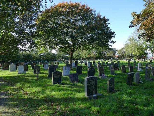
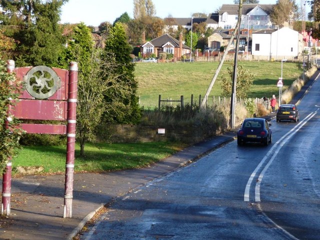
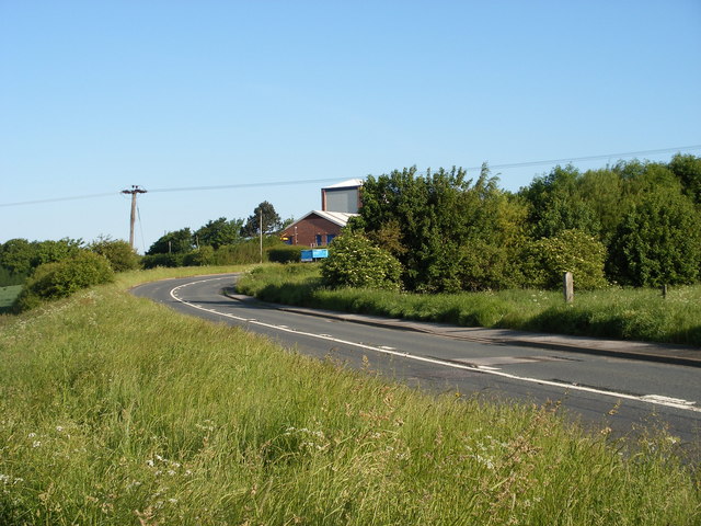
Bottoms Wood Images

Images are sourced within 2km of 53.716345/-1.5635884 or Grid Reference SE2824. Thanks to Geograph Open Source API. All images are credited.

St Michael's East Ardsley: lych gate The lych gate is close to, but distinct from the main churchyard entrance.
St Michael's East Ardsley: lych gate
The lych gate is close to, but distinct from the main churchyard entrance.
St Michael's East Ardsley: war memorial The memorial is in the churchyard to the south of the church buildings. It is inscribed on all four sides with the names of the fallen of World War I, ordered by the year of death.
St Michael's East Ardsley: war memorial
The memorial is in the churchyard to the south of the church buildings. It is inscribed on all four sides with the names of the fallen of World War I, ordered by the year of death.
St Michael's East Ardsley: south side The tower is a prominent local landmark and contains a peal of eight bells and a clock by Potts of Leeds.
St Michael's East Ardsley: south side
The tower is a prominent local landmark and contains a peal of eight bells and a clock by Potts of Leeds.
St Michael's East Ardsley: south door An unusual feature for a 19th century church is this Norman doorway, retained from the earlier building on the site. It is seen here through the outer security gate of the porch.
St Michael's East Ardsley: south door
An unusual feature for a 19th century church is this Norman doorway, retained from the earlier building on the site. It is seen here through the outer security gate of the porch.
St Michael's East Ardsley: benchmark Cut into the south-west corner of the tower, with a bolt, and still looking clean-cut. See <a href="https://www.geograph.org.uk/photo/3339789">SE3025 : Benchmark on St Michael's Church</a> for a closer view. None of the older maps avaialble online seem to show it, but bench-marks.org.uk gives a value of 141.01m.
St Michael's East Ardsley: benchmark
Cut into the south-west corner of the tower, with a bolt, and still looking clean-cut. See SE3025 : Benchmark on St Michael's Church for a closer view. None of the older maps avaialble online seem to show it, but bench-marks.org.uk gives a value of 141.01m.
St Michael's East Ardsley: churchyard The churchyard is still open for burials.
St Michael's East Ardsley: churchyard
The churchyard is still open for burials.
St Michael's East Ardsley: churchyard extension The serried ranks of polished granite memorials make this look very much like a Council (secular) cemetery, but as far as I can tell it is an extension to the churchyard, just that a different style of memorial is permitted here.
St Michael's East Ardsley: churchyard extension
The serried ranks of polished granite memorials make this look very much like a Council (secular) cemetery, but as far as I can tell it is an extension to the churchyard, just that a different style of memorial is permitted here.
St Michael's East Ardsley: churchyard entrance The metal gate bears the name of the church.
St Michael's East Ardsley: churchyard entrance
The metal gate bears the name of the church.
Manhole cover, Church Lane, East Ardsley A 'no-rok' circular cover by Lees of Gomersal.
Manhole cover, Church Lane, East Ardsley
A 'no-rok' circular cover by Lees of Gomersal.
Green space, Church Lane, East Ardsley The housing beyond is relatively modern (at least compared with the 19th century church and hall).
Green space, Church Lane, East Ardsley
The housing beyond is relatively modern (at least compared with the 19th century church and hall).
St Michael's church hall, Church Lane, East Ardsley The right hand side is the original Sunday School of 1837, and on the left the 'Jubilee Wing' of 1897.
St Michael's church hall, Church Lane, East Ardsley
The right hand side is the original Sunday School of 1837, and on the left the 'Jubilee Wing' of 1897.
St Michael's church hall, Church Lane, East Ardsley (detail) Above the door are dates of construction (1837) and extension (1897). See <a href="https://www.geograph.org.uk/photo/7626300">SE3025 : St Michael's church hall, Church Lane, East Ardsley</a> for context.
St Michael's church hall, Church Lane, East Ardsley (detail)
Above the door are dates of construction (1837) and extension (1897). See SE3025 : St Michael's church hall, Church Lane, East Ardsley for context.
Blossom Cottage, Bradford Road, East Ardsley The building is end-on to the road and comprises at least two dwellings. The road is the main A650 between Bradford and Wakefield, which is still busy despite most through traffic taking the M62.
Blossom Cottage, Bradford Road, East Ardsley
The building is end-on to the road and comprises at least two dwellings. The road is the main A650 between Bradford and Wakefield, which is still busy despite most through traffic taking the M62.
Esso filling station, Bradford Road, East Ardsley With a Tesco Express as part of the offering.
Esso filling station, Bradford Road, East Ardsley
With a Tesco Express as part of the offering.
Derelict sheds, East Ardsley (1) These buildings have lost most of their cladding. There was fencing along the site boundary with dangerous structure warnings.
Derelict sheds, East Ardsley (1)
These buildings have lost most of their cladding. There was fencing along the site boundary with dangerous structure warnings.
Derelict sheds, East Ardsley (2) These buildings have lost most of their cladding. There was fencing along the site boundary with dangerous structure warnings.
Derelict sheds, East Ardsley (2)
These buildings have lost most of their cladding. There was fencing along the site boundary with dangerous structure warnings.
Field west of Pilden Lane With a horse box on the far side.
Field west of Pilden Lane
With a horse box on the far side.
Stile in the woods On the Leeds Country Way.
Stile in the woods
On the Leeds Country Way.
Show me another place!

Bottoms Wood is located at Grid Ref: SE2824 (Lat: 53.716345, Lng: -1.5635884)

Division: West Riding

Unitary Authority: Leeds

Police Authority: West Yorkshire

What 3 Words

///report.aspect.extend. Near Morley, West Yorkshire

Related Wikis

Beggarington Hill

Beggarington Hill is a hamlet in the City of Leeds near its border with Kirklees in West Yorkshire, England. Historically, it was part of the West Ardsley...

Jaw Hill

Jaw Hill is a hill in the City of Leeds district of West Yorkshire, England. It is near Kirkhamgate in the City of Wakefield district. == History == A...

Woodkirk

Woodkirk is an ancient village between Leeds and Dewsbury, West Yorkshire, England. The parish church is a grade II listed building. It is traditionally...

Woodkirk Priory

Woodkirk Priory was a cell of Augustinian Canons in West Yorkshire, England. William, second earl of Warenne (d. 1138), had granted the land for its foundation...

Nearby Amenities

Located within 500m of 53.716345,-1.5635884
Bus Stop
Haigh Moor Road Holly Court
Local Ref: 45016092
Naptan AtcoCode: 450016092
Naptan Bearing: S
Naptan CommonName: Haigh Moor Road Holly Court
Naptan Crossing: Holly Court
Naptan Indicator: Stop 45016092
Naptan PlusbusZoneRef: LEEDS
Naptan ShortCommonName: Holly Court
Naptan Street: Haigh Moor Road
Naptan Verified: yes
Ref: 45016092
Shelter: no
Source: naptan_import
Lat/Long: 53.7171712/-1.5709391
Barrier: stile
Material: stone
Stile: stepover
Lat/Long: 53.7150174/-1.5599797
Waste Basket
Ref UK Leedscc Bin: 1200
Lat/Long: 53.719505/-1.568499
Barrier: stile
Material: wood
Stile: stepover
Lat/Long: 53.714887/-1.5588351
The data included in this document is from www.openstreetmap.org. The data is made available under ODbL.

Have you been to Bottoms Wood?

Leave your review of Bottoms Wood below (or comments, questions and feedback).