Colliestown Croft

Settlement in Aberdeenshire

Scotland

Colliestown Croft

The Macbeth Stone in Lumphanan The Battle of Lumphanan was fought on 15 August 1057, between Macbeth, King of Scots, and the future King Malcolm III. Macbeth would die from wounds sustained in the battle, which came after his defeat at the battle of Dunsinane in 1054. According to tradition, the battle took place at Lumphanan in Aberdeenshire. Macbeth's Stone, a large boulder at the site, is said to mark the spot where Macbeth was mortally wounded. Following the battle Lulach, Macbeth's stepson was crowned King, before being killed by Malcolm who then took the throne.
The Macbeth Stone in Lumphanan Credit: Ralph Greig

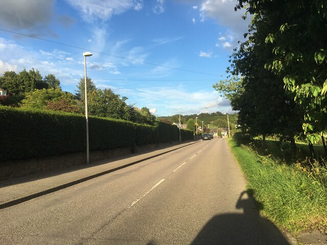
Colliestown Croft is a picturesque rural settlement located in the scenic countryside of Aberdeenshire, Scotland. Situated approximately 10 miles northeast of the town of Inverurie, Colliestown Croft is known for its tranquil setting and natural beauty.

The settlement is characterized by its traditional stone-built cottages, which are surrounded by lush green fields and rolling hills. The croft itself is a small agricultural unit, typically consisting of a farmhouse, outbuildings, and cultivated land. The crofters in Colliestown Croft primarily engage in farming activities, including the rearing of livestock and the cultivation of crops.

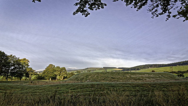
The area boasts stunning views of the surrounding landscape, with the River Urie meandering nearby and the Grampian Mountains providing a majestic backdrop. Colliestown Croft is also renowned for its rich wildlife, with various species of birds, deer, and other animals often spotted in the vicinity.

Although it is a rural settlement, Colliestown Croft is not remote and is within easy reach of amenities. The nearby town of Inverurie offers a range of shops, restaurants, and other services. Additionally, the city of Aberdeen is approximately 20 miles south, providing further access to a wider range of facilities and attractions.

Colliestown Croft is a charming and idyllic countryside community, offering a peaceful and picturesque lifestyle amidst the natural beauty of Aberdeenshire.

If you have any feedback on the listing, please let us know in the comments section below.

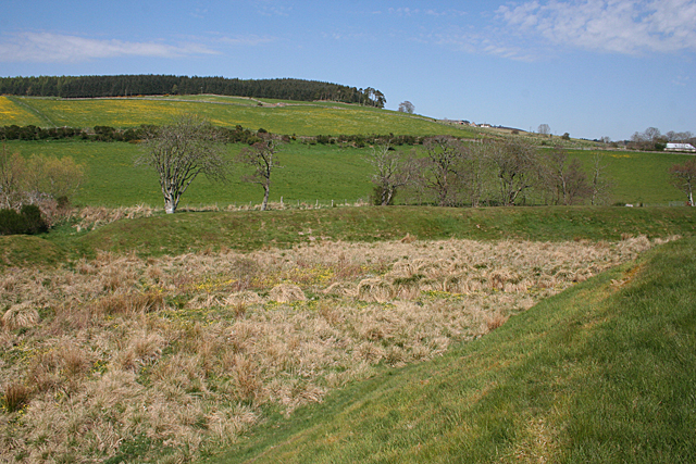
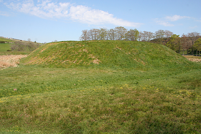
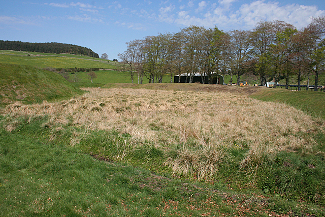
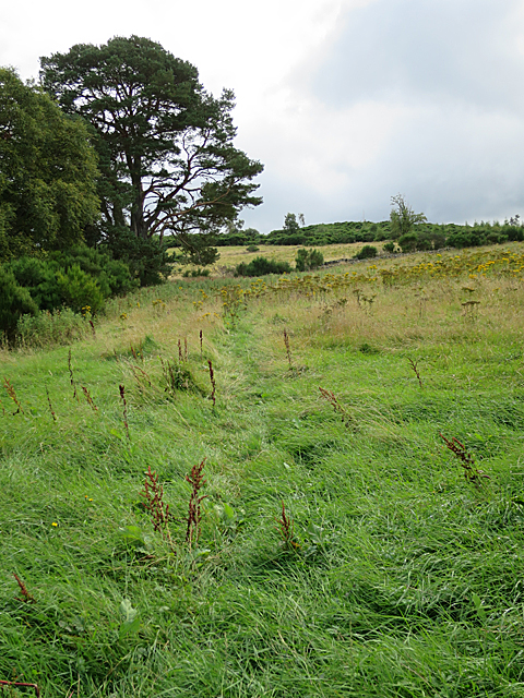
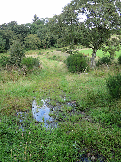
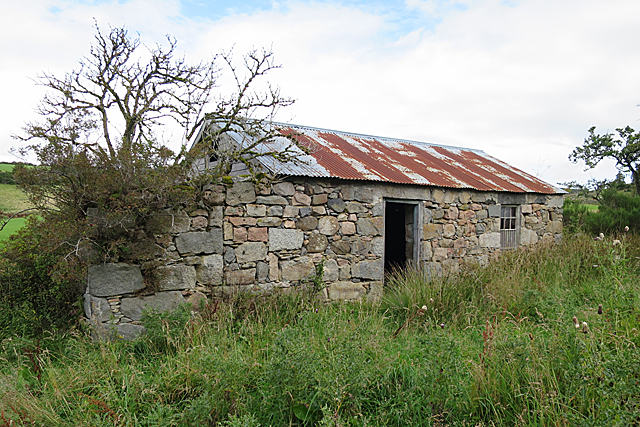
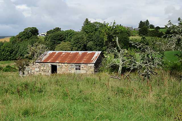
Colliestown Croft Images

Images are sourced within 2km of 57.115315/-2.6717671 or Grid Reference NJ5902. Thanks to Geograph Open Source API. All images are credited.

The Macbeth Stone in Lumphanan The Battle of Lumphanan was fought on 15 August 1057, between Macbeth, King of Scots, and the future King Malcolm III. Macbeth would die from wounds sustained in the battle, which came after his defeat at the battle of Dunsinane in 1054. According to tradition, the battle took place at Lumphanan in Aberdeenshire. Macbeth's Stone, a large boulder at the site, is said to mark the spot where Macbeth was mortally wounded. Following the battle Lulach, Macbeth's stepson was crowned King, before being killed by Malcolm who then took the throne.
The Macbeth Stone in Lumphanan
The Battle of Lumphanan was fought on 15 August 1057, between Macbeth, King of Scots, and the future King Malcolm III. Macbeth would die from wounds sustained in the battle, which came after his defeat at the battle of Dunsinane in 1054. According to tradition, the battle took place at Lumphanan in Aberdeenshire. Macbeth's Stone, a large boulder at the site, is said to mark the spot where Macbeth was mortally wounded. Following the battle Lulach, Macbeth's stepson was crowned King, before being killed by Malcolm who then took the throne.
Macbeth Arms hotel
Macbeth Arms hotel
A980 in Lumphanan
A980 in Lumphanan
A980 near Lumphanan
A980 near Lumphanan
A980 towards Torphins
A980 near Torphins
A980 near Torphins
Peel of Lumphanan
Peel of Lumphanan
Peel of Lumphanan (1) The Peel is a flat-topped motte surrounded by an outer rampart, with some boggy ground in between. This is the view from the entrance through a gap in the rampart. See <span class="nowrap"><a title="https://canmore.org.uk/site/17497/lumphanan" rel="nofollow ugc noopener" href="https://canmore.org.uk/site/17497/lumphanan">Link</a><img style="margin-left:2px;" alt="External link" title="External link - shift click to open in new window" src="https://s1.geograph.org.uk/img/external.png" width="10" height="10"/></span> for more information. <a href="https://www.geograph.org.uk/photo/4952465">NJ5703 : Peel of Lumphanan (2)</a>
Peel of Lumphanan (1)
The Peel is a flat-topped motte surrounded by an outer rampart, with some boggy ground in between. This is the view from the entrance through a gap in the rampart. See LinkExternal link for more information. NJ5703 : Peel of Lumphanan (2)
Peel of Lumphanan (2) The foreground is the flat top of the mediaeval motte, though it's not very enlightening as it's too wide to fit in the viewfinder. See <span class="nowrap"><a title="https://canmore.org.uk/site/17497/lumphanan" rel="nofollow ugc noopener" href="https://canmore.org.uk/site/17497/lumphanan">Link</a><img style="margin-left:2px;" alt="External link" title="External link - shift click to open in new window" src="https://s1.geograph.org.uk/img/external.png" width="10" height="10"/></span> for more information and for an aerial photograph which shows it much more convincingly. <a href="https://www.geograph.org.uk/photo/4952470">NJ5703 : Peel of Lumphanan (3)</a> I reckon the best part of this view is the field of buttercups at upper left.
Peel of Lumphanan (2)
The foreground is the flat top of the mediaeval motte, though it's not very enlightening as it's too wide to fit in the viewfinder. See LinkExternal link for more information and for an aerial photograph which shows it much more convincingly. NJ5703 : Peel of Lumphanan (3) I reckon the best part of this view is the field of buttercups at upper left.
Peel of Lumphanan (3) Looking from the top of the motte over some boggy ground to the earthen rampart. See <span class="nowrap"><a title="https://canmore.org.uk/site/17497/lumphanan" rel="nofollow ugc noopener" href="https://canmore.org.uk/site/17497/lumphanan">Link</a><img style="margin-left:2px;" alt="External link" title="External link - shift click to open in new window" src="https://s1.geograph.org.uk/img/external.png" width="10" height="10"/></span> for more information. <a href="https://www.geograph.org.uk/photo/4952472">NJ5703 : Peel of Lumphanan (4)</a> In the background is Craigton Hill.
Peel of Lumphanan (3)
Looking from the top of the motte over some boggy ground to the earthen rampart. See LinkExternal link for more information. NJ5703 : Peel of Lumphanan (4) In the background is Craigton Hill.
Peel of Lumphanan (5) The motte is oval, and this is looking along the longer axis of the oval, which is the narrowest view, and can all be fitted into the viewfinder. See <span class="nowrap"><a title="https://canmore.org.uk/site/17497/lumphanan" rel="nofollow ugc noopener" href="https://canmore.org.uk/site/17497/lumphanan">Link</a><img style="margin-left:2px;" alt="External link" title="External link - shift click to open in new window" src="https://s1.geograph.org.uk/img/external.png" width="10" height="10"/></span> for more information. <a href="https://www.geograph.org.uk/photo/4952478">NJ5703 : Peel of Lumphanan (6)</a>
Peel of Lumphanan (5)
The motte is oval, and this is looking along the longer axis of the oval, which is the narrowest view, and can all be fitted into the viewfinder. See LinkExternal link for more information. NJ5703 : Peel of Lumphanan (6)
Peel of Lumphanan (6) This shows the south-eastern side of the motte, the boggy low-lying surround, and the encircling earth rampart. See <span class="nowrap"><a title="https://canmore.org.uk/site/17497/lumphanan" rel="nofollow ugc noopener" href="https://canmore.org.uk/site/17497/lumphanan">Link</a><img style="margin-left:2px;" alt="External link" title="External link - shift click to open in new window" src="https://s1.geograph.org.uk/img/external.png" width="10" height="10"/></span> for more information. <a href="https://www.geograph.org.uk/photo/4952461">NJ5703 : Peel of Lumphanan (1)</a> The building belongs to the neighbouring farm. It is not on the maps, so must be quite new. I am rather surprised that it was given planning permission when it has such a prominent effect on the view of the Peel.
Peel of Lumphanan (6)
This shows the south-eastern side of the motte, the boggy low-lying surround, and the encircling earth rampart. See LinkExternal link for more information. NJ5703 : Peel of Lumphanan (1) The building belongs to the neighbouring farm. It is not on the maps, so must be quite new. I am rather surprised that it was given planning permission when it has such a prominent effect on the view of the Peel.
Former Offices The long low building was originally offices associated with the parish manse. The taller block on the left was a watch-house. The whole has now been converted to housing. Pity about the non-matching windows to the right of the watch-house.
Former Offices
The long low building was originally offices associated with the parish manse. The taller block on the left was a watch-house. The whole has now been converted to housing. Pity about the non-matching windows to the right of the watch-house.
Parish Kirk and Manse The kirk, dedicated to St Finan after whom Lumphanan is named, is about half a mile from the present village. It was built in 1762 on the site of a much older church which was first recorded in 1238. The manse next door was originally built in 1782, but has been altered several timesa since then. Both kirk and manse are now private houses.
Parish Kirk and Manse
The kirk, dedicated to St Finan after whom Lumphanan is named, is about half a mile from the present village. It was built in 1762 on the site of a much older church which was first recorded in 1238. The manse next door was originally built in 1782, but has been altered several timesa since then. Both kirk and manse are now private houses.
Faint Path The faint path over Hill of Dess is waymarked as part of the local path network.
Faint Path
The faint path over Hill of Dess is waymarked as part of the local path network.
Wet for Walking The waymarked route here is suddenly very wet indeed. Fortunately someone has been tipping boulders into the mud so that it is possible, with care, to hop across without getting ankle deep in the dubs (muddy pool).
Wet for Walking
The waymarked route here is suddenly very wet indeed. Fortunately someone has been tipping boulders into the mud so that it is possible, with care, to hop across without getting ankle deep in the dubs (muddy pool).
Woodend If you look carefully in the long grass there are remains of other buildings around this one, which was probably the farm or croft house of Woodend. It isn't named on the 1:50,000 map but it is named on the larger scale maps and on the old maps.
Woodend
If you look carefully in the long grass there are remains of other buildings around this one, which was probably the farm or croft house of Woodend. It isn't named on the 1:50,000 map but it is named on the larger scale maps and on the old maps.
Woodend If you look carefully in the long grass there are remains of other buildings around this one, which was probably one end the farm or croft house of Woodend. It isn't named on the 1:50,000 map but it is named on the larger scale maps and on the old maps. Oldtown is on the skyline above. This Woodend is in the parish of Lumphanan and not to be confused with any other Woodends in other parishes.
Woodend
If you look carefully in the long grass there are remains of other buildings around this one, which was probably one end the farm or croft house of Woodend. It isn't named on the 1:50,000 map but it is named on the larger scale maps and on the old maps. Oldtown is on the skyline above. This Woodend is in the parish of Lumphanan and not to be confused with any other Woodends in other parishes.
Show me another place!

Colliestown Croft is located at Grid Ref: NJ5902 (Lat: 57.115315, Lng: -2.6717671)

Unitary Authority: Aberdeenshire

Police Authority: North East

What 3 Words

///innovate.brother.paving. Near Torphins, Aberdeenshire

Related Wikis

Nearby Amenities

Located within 500m of 57.115315,-2.6717671
Stot Hill
Ele: 281
Natural: peak
Lat/Long: 57.1176377/-2.6749163
The data included in this document is from www.openstreetmap.org. The data is made available under ODbL.

Have you been to Colliestown Croft?

Leave your review of Colliestown Croft below (or comments, questions and feedback).