Colliers' Green
Settlement in Kent Tunbridge Wells
England
Colliers' Green
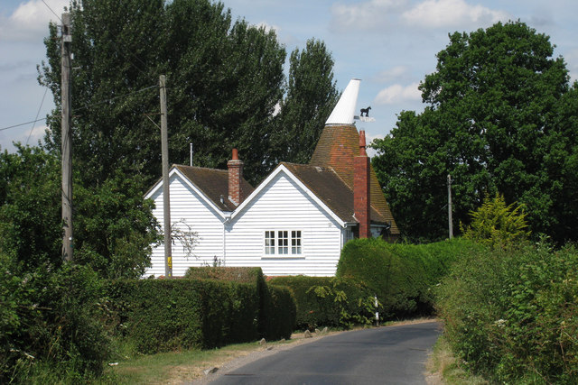
Colliers' Green is a charming rural hamlet located in the county of Kent, England. Situated approximately 6 miles southeast of the town of Tunbridge Wells, it is nestled amidst the picturesque countryside of the High Weald Area of Outstanding Natural Beauty.
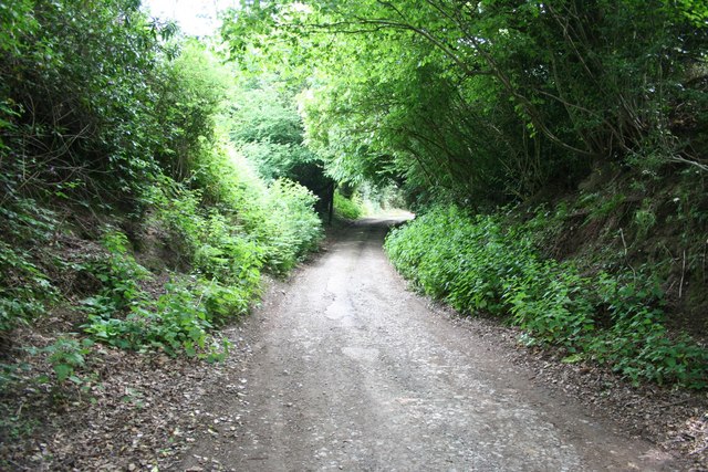
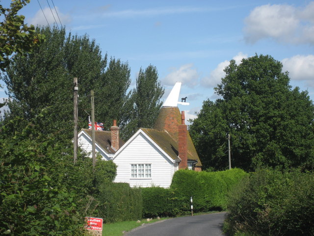
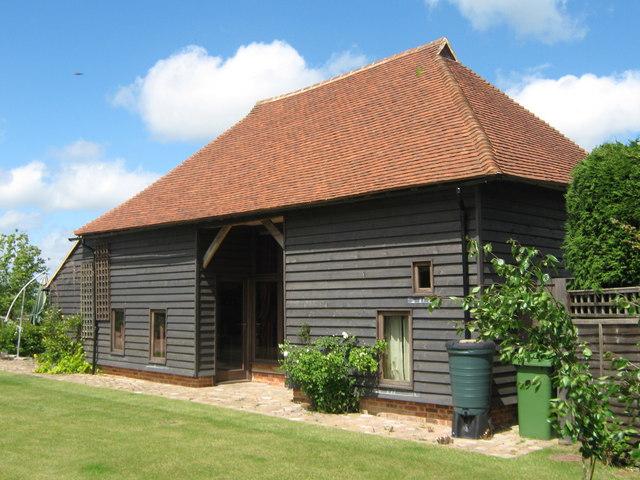
This small settlement is known for its tranquil and idyllic setting, with rolling green fields, wooded areas, and charming country lanes. The landscape is dotted with traditional cottages and farmhouses, which add to the area's rustic charm.
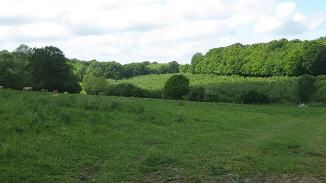
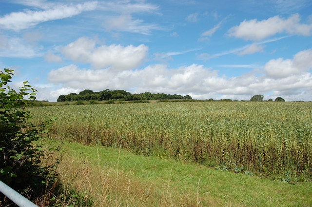
Colliers' Green is primarily an agricultural community, with farming playing a significant role in the local economy. The surrounding farmland is mainly used for arable purposes, including the cultivation of crops such as wheat, barley, and oats.
While the hamlet itself is relatively small, there are several amenities available to residents and visitors. These include a local pub, providing a cozy setting for socializing and enjoying traditional British fare. Nearby, there are also a few small businesses, including a village shop, offering essential groceries and supplies.
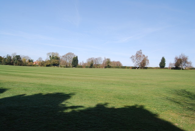
The area surrounding Colliers' Green offers a multitude of outdoor recreational opportunities. The stunning natural landscapes make it ideal for walking, cycling, and horse riding, with numerous footpaths and bridleways crisscrossing the countryside.
Overall, Colliers' Green is a peaceful and picturesque rural retreat, offering a taste of traditional English village life, surrounded by the beauty of the Kentish countryside.
If you have any feedback on the listing, please let us know in the comments section below.
Colliers' Green Images
Images are sourced within 2km of 51.121607/0.51166271 or Grid Reference TQ7538. Thanks to Geograph Open Source API. All images are credited.


Colliers' Green is located at Grid Ref: TQ7538 (Lat: 51.121607, Lng: 0.51166271)
Administrative County: Kent
District: Tunbridge Wells
Police Authority: Kent
What 3 Words
///assess.daytime.shield. Near Cranbrook, Kent
Nearby Locations
Related Wikis

Colliers Green
Colliers Green is a village near Cranbrook in Kent, England. Colliers Green School, a Church of England primary school, is located at the centre of the...

HM Prison Blantyre House
HM Prison Blantyre House was a Category C/D resettlement prison for men, located on the outskirts of Goudhurst in Kent, England. The prison was operated...

Horden, Kent
Horden is a village in the Maidstone district of Kent, England. His Majesty's Prison Blantyre House is located at Horden. The population is included in...

Curtisden Green
Curtisden Green is a hamlet, lying 3 miles (4.8 km) to the north of Goudhurst, Kent, England. It is the location of Bethany School. == References... ==
Bethany School, Goudhurst
Bethany School is a private boarding and day school for girls and boys aged 11–18 (Year 7-11 and Sixth Form), in Goudhurst, Kent, United Kingdom. The school...
High Weald Academy
The High Weald Academy was a coeducational secondary school that opened in 1971 located in Cranbrook, Kent, England. The academy permanently closed in...
School Field, Cranbrook
School Field Ground is a sports ground owned by Cranbrook School located in the town of Cranbrook, Kent. It is known by the school as Big Side Playing...

The Gill
The Gill is a 12-hectare (30-acre) nature reserve north of Goudhurst in Kent, England. It is managed by the Kent Wildlife Trust.This site has been planted...
Nearby Amenities
Located within 500m of 51.121607,0.51166271Have you been to Colliers' Green?
Leave your review of Colliers' Green below (or comments, questions and feedback).