College Hill

Settlement in Herefordshire

England

College Hill

32 new properties off Highmore Street
32 new properties off Highmore Street Credit: Alex McGregor

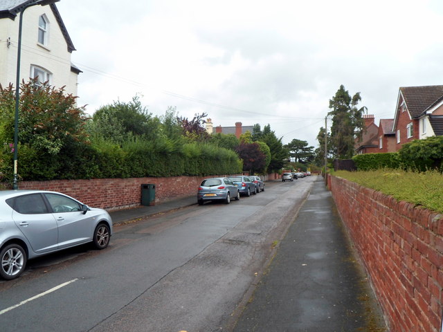
College Hill is a small village located in the county of Herefordshire, England. Nestled in the heart of the Wye Valley, this charming settlement is surrounded by rolling hills and picturesque countryside. The village is situated around 12 miles southeast of the city of Hereford, making it a peaceful retreat from urban life.

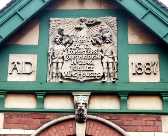
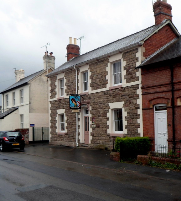
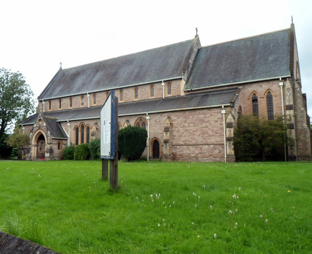
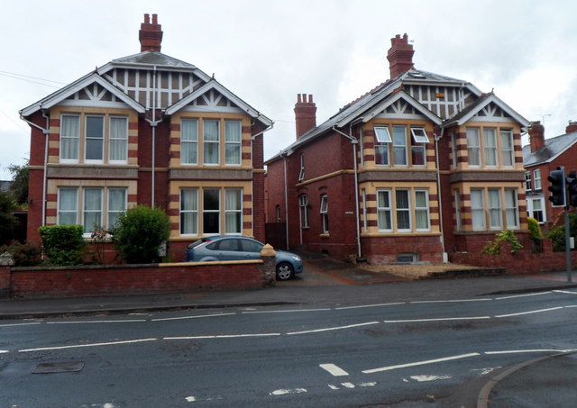
College Hill is known for its historic charm and architectural heritage. The village takes its name from a former college that was established here in the 14th century, which unfortunately no longer exists. However, remnants of this rich history can still be seen in the form of several well-preserved timber-framed houses and cottages that line the streets.

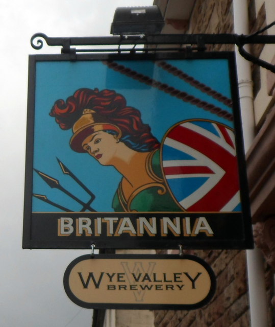
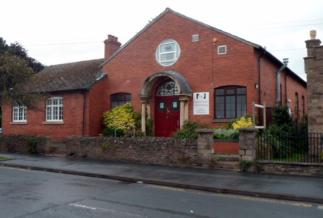
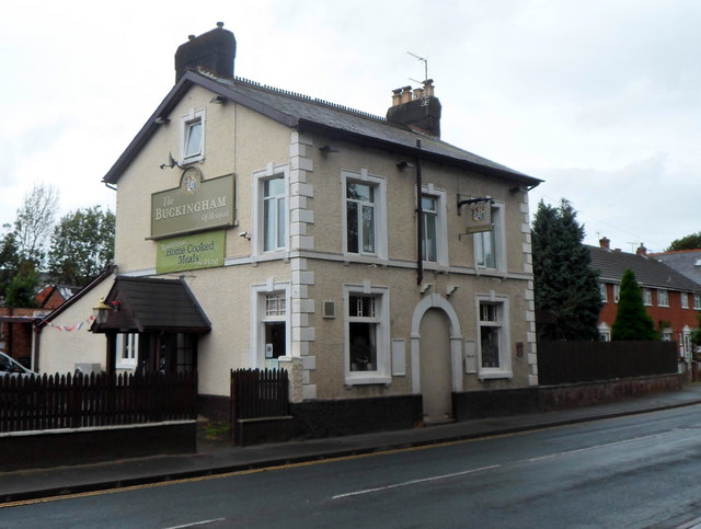
The village boasts a close-knit community, with a population of approximately 300 residents. It offers a range of amenities, including a local pub, a village hall, and a primary school. The nearby town of Ross-on-Wye provides additional services and amenities, including shops, cafes, and secondary schools.

For nature enthusiasts, College Hill is a perfect base for exploring the stunning countryside that surrounds it. The Wye Valley Area of Outstanding Natural Beauty is within easy reach, offering scenic walks along the River Wye, breathtaking viewpoints, and diverse wildlife.

Overall, College Hill offers a tranquil lifestyle, immersed in history and natural beauty, making it an attractive place to live or visit for those seeking a peaceful escape in Herefordshire.

If you have any feedback on the listing, please let us know in the comments section below.
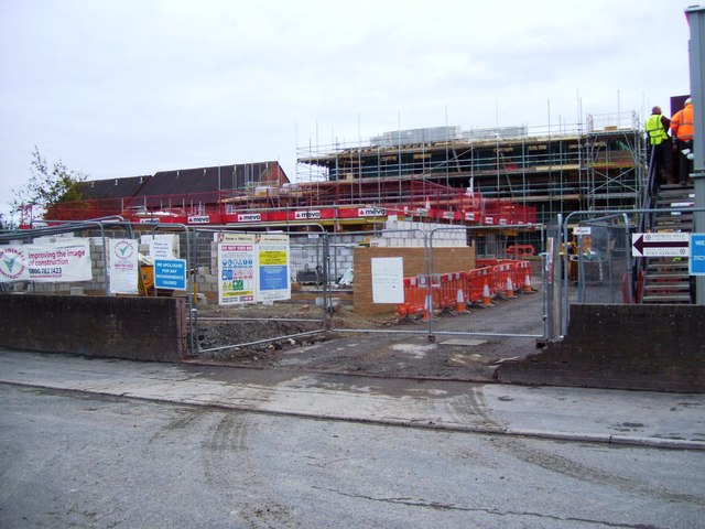
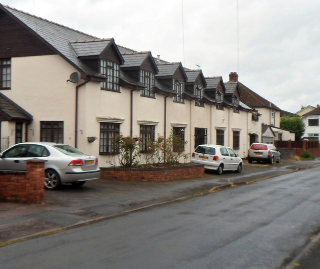
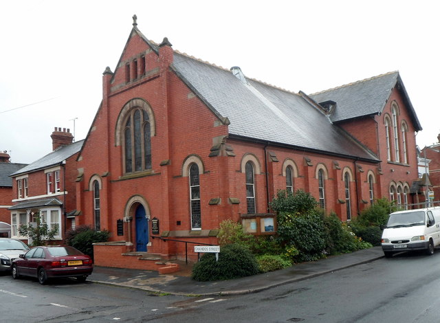
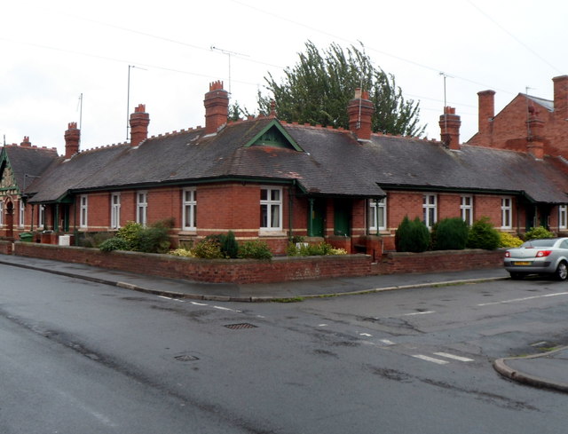
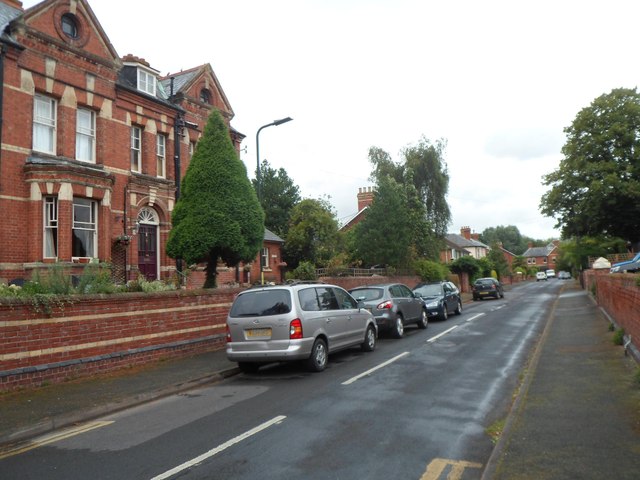
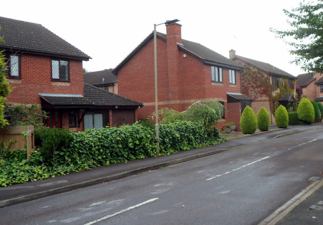
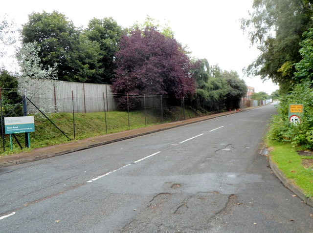
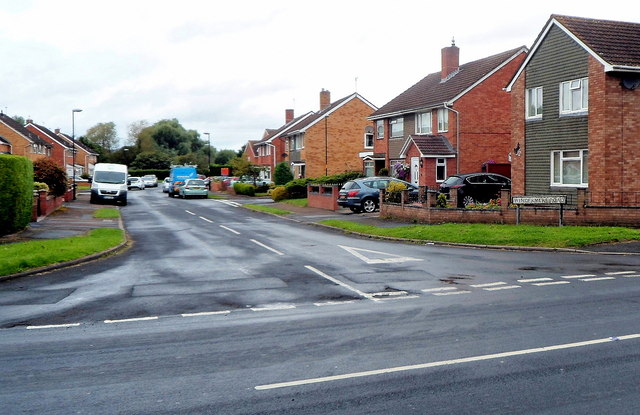
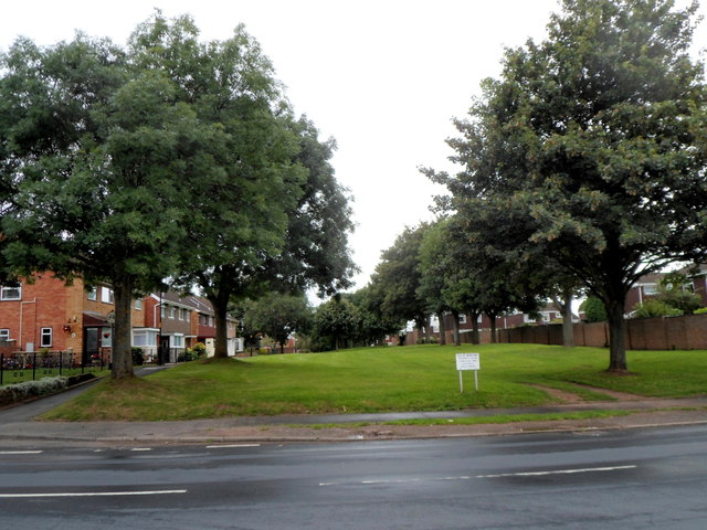
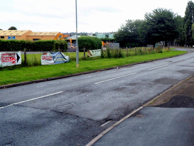
College Hill Images

Images are sourced within 2km of 52.066895/-2.708476 or Grid Reference SO5141. Thanks to Geograph Open Source API. All images are credited.

32 new properties off Highmore Street
White Horse Square houses, Hereford Viewed from the White Horse Street end.
White Horse Square houses, Hereford
Viewed from the White Horse Street end.
Chandos Street Methodist Church, Hereford On the corner of Chandos Street and White Horse Street.
Chandos Street Methodist Church, Hereford
On the corner of Chandos Street and White Horse Street.
Jubilee Almshouses, Hereford Late Victorian almshouses on the corner of Chandos Street and White Horse Street, opposite Chandos Street Methodist Church. <a title="https://www.geograph.org.uk/photo/3524955" href="https://www.geograph.org.uk/photo/3524955">Link</a>
A tablet <a title="https://www.geograph.org.uk/photo/3525031" href="https://www.geograph.org.uk/photo/3525031">Link</a> depicting stag and verderers shows the year 1887, the Golden Jubilee of Queen Victoria.
Jubilee Almshouses, Hereford
Late Victorian almshouses on the corner of Chandos Street and White Horse Street, opposite Chandos Street Methodist Church. Link A tablet Link depicting stag and verderers shows the year 1887, the Golden Jubilee of Queen Victoria.
Jubilee Almshouses tablet, Hereford The tablet is on the White Horse Street side of the almshouses. <a title="https://www.geograph.org.uk/photo/3525023" href="https://www.geograph.org.uk/photo/3525023">Link</a>
Jubilee Almshouses tablet, Hereford
The tablet is on the White Horse Street side of the almshouses. Link
Britannia pub, Hereford Wye Valley Brewery pub in Cotterell Street. <a title="https://www.geograph.org.uk/photo/3525068" href="https://www.geograph.org.uk/photo/3525068">Link</a> to a closeup of the pub sign.
Britannia pub, Hereford
Wye Valley Brewery pub in Cotterell Street. Link to a closeup of the pub sign.
Britannia pub sign, Hereford Hanging above the pub entrance here. <a title="https://www.geograph.org.uk/photo/3525063" href="https://www.geograph.org.uk/photo/3525063">Link</a>
Britannia pub sign, Hereford
Hanging above the pub entrance here. Link
Hereford Musical Theatre Company This is the Whitecross Road theatre & clubroom of Hereford Musical Theatre Company which was founded in 1898 as Hereford Amateur Operatic Society.
Hereford Musical Theatre Company
This is the Whitecross Road theatre & clubroom of Hereford Musical Theatre Company which was founded in 1898 as Hereford Amateur Operatic Society.
Holy Trinity Parish Church, Hereford The Anglican church on the north side of Whitecross Road serves a large parish in the west of Hereford. The first foundation stone for the church was laid in 1884.  Today, the building is used for a wide range of activities, religious and secular, including concerts and exhibitions.
Holy Trinity Parish Church, Hereford
The Anglican church on the north side of Whitecross Road serves a large parish in the west of Hereford. The first foundation stone for the church was laid in 1884. Today, the building is used for a wide range of activities, religious and secular, including concerts and exhibitions.
The Buckingham of Hereford The name on the side wall of the pub at 141 Whitecross Road Hereford is The Buckingham of Hereford.
The Buckingham of Hereford
The name on the side wall of the pub at 141 Whitecross Road Hereford is The Buckingham of Hereford.
Baggallay Street, Hereford A side street viewed from the Whitecross Road end. My guess on seeing the unusual street name that perhaps it was a Hereford version of back alley was fanciful. The street is probably named after Sir Richard Baggallay (1816–1888), who was Member of Parliament for Hereford from 1865 to 1868.
Baggallay Street, Hereford
A side street viewed from the Whitecross Road end. My guess on seeing the unusual street name that perhaps it was a Hereford version of back alley was fanciful. The street is probably named after Sir Richard Baggallay (1816–1888), who was Member of Parliament for Hereford from 1865 to 1868.
Distinctive houses, Whitecross Road, Hereford The houses are on the corner of Whitecross Road and Holmer Street, viewed from Baggallay Street.
Distinctive houses, Whitecross Road, Hereford
The houses are on the corner of Whitecross Road and Holmer Street, viewed from Baggallay Street.
Ingestre Street, Hereford Viewed from the Whitecross Road end looking towards Gruneisen Street.
Ingestre Street, Hereford
Viewed from the Whitecross Road end looking towards Gruneisen Street.
Sherrington Drive, Hereford Viewed from the Yazor Road end looking towards Dabinett Avenue.
Sherrington Drive, Hereford
Viewed from the Yazor Road end looking towards Dabinett Avenue.
Yazor Road restricted side arm, Hereford The road heads SE away from the main course of Yazor Road. Ahead is a trading estate. 
A Bulmers notice on the left shows "Yazor Road entrance restricted to authorised traffic only." 
On the right, a yellow sign shows Guard Dogs Patrolling. The other sign shows a 15mph speed limit.
Yazor Road restricted side arm, Hereford
The road heads SE away from the main course of Yazor Road. Ahead is a trading estate. A Bulmers notice on the left shows "Yazor Road entrance restricted to authorised traffic only." On the right, a yellow sign shows Guard Dogs Patrolling. The other sign shows a 15mph speed limit.
Windermere Road, Hereford Viewed across Yazor Road.
Windermere Road, Hereford
Viewed across Yazor Road.
Tree-lined green, Coniston Walk, Hereford Viewed from Yazor Road. Coniston Walk houses are on the left.
A Hereford City Council notice on the green shows that the parking of cars and the playing of ball games in this area is strictly forbidden.
I don't know how the officialese "strictly forbidden" differs from "forbidden"...
Tree-lined green, Coniston Walk, Hereford
Viewed from Yazor Road. Coniston Walk houses are on the left. A Hereford City Council notice on the green shows that the parking of cars and the playing of ball games in this area is strictly forbidden. I don't know how the officialese "strictly forbidden" differs from "forbidden"...
This way to Chaingang Cycles Hereford A red and white banner on a fence near the corner of Yazor Road points along Red Barn Drive towards Chaingang Cycles.
This way to Chaingang Cycles Hereford
A red and white banner on a fence near the corner of Yazor Road points along Red Barn Drive towards Chaingang Cycles.
Show me another place!

College Hill is located at Grid Ref: SO5141 (Lat: 52.066895, Lng: -2.708476)

Unitary Authority: County of Herefordshire

Police Authority: West Merica

What 3 Words

///activism.tonic.fetch. Near Hereford, Herefordshire

Nearby Locations

College Hill

Related Wikis

Royal National College for the Blind

The Royal National College for the Blind (RNC) is a co-educational specialist residential college of further education based in the English city of Hereford...

Hereford railway station

Hereford railway station serves the city of Hereford, in Herefordshire, England. Managed by Transport for Wales, it lies on the Welsh Marches Line between...

Hereford Sixth Form College

Hereford Sixth Form College is a co-educational state funded sixth form college in Hereford, England. It offers over 40 subjects at A-Level and 10 at GCSE...

Hereford Pegasus F.C.

Hereford Pegasus Football Club is a football club based in Hereford, England. The club is affiliated to the Herefordshire County FA. Pegasus Juniors...

Nearby Amenities

Located within 500m of 52.066895,-2.708476
Railway: switch
Lat/Long: 52.0657273/-2.7149163
Traffic Signals
Lat/Long: 52.069045/-2.7081973
Traffic Calming: bump
Lat/Long: 52.0630066/-2.7104929
Turning Circle
Lat/Long: 52.0668569/-2.7067515
Bus Stop
Royal National College
Bus: yes
Naptan AtcoCode: 2090A016002
Naptan Bearing: NW
Naptan CommonName: Royal National College
Naptan Indicator: opp
Naptan Landmark: Royal National College
Naptan NaptanCode: heratdaw
Naptan PlusbusZoneRef: HEREFRD
Naptan Street: College Road
Naptan Verified: no
Public Transport: platform
Source: naptan_import
Lat/Long: 52.0687129/-2.7082933
Bus Stop
College Road
Bus: yes
Naptan AtcoCode: 2090A030701
Naptan Bearing: SE
Naptan CommonName: College Road
Naptan Indicator: opp. No 19 Old School Lane
Naptan Landmark: N/K
Naptan NaptanCode: heraptjp
Naptan PlusbusZoneRef: HEREFRD
Naptan Street: Old School Lane
Naptan Verified: no
Public Transport: platform
Source: naptan_import
Lat/Long: 52.0697346/-2.7088493
Bus Stop
Post Office
Bus: yes
Naptan AtcoCode: 2090A146600
Naptan Bearing: NW
Naptan CommonName: Post Office
Naptan Indicator: adj
Naptan Landmark: College Green Post Office
Naptan NaptanCode: heragdwt
Naptan PlusbusZoneRef: HEREFRD
Naptan Street: College Green
Naptan Verified: no
Public Transport: platform
Source: naptan_import
Lat/Long: 52.0681963/-2.7119616
Bus Stop
Bulmer Avenue
Bus: yes
Local Ref: NK
Naptan AtcoCode: 2090A151100
Naptan Bearing: SW
Naptan BusStopType: CUS
Naptan CommonName: Bulmer Avenue
Naptan Indicator: NK
Naptan Landmark: NK
Naptan NaptanCode: heragjpw
Naptan PlusbusZoneRef: HEREFRD
Naptan Street: Bulmer Avenue
Naptan Verified: no
Public Transport: platform
Source: naptan_import
Lat/Long: 52.0636102/-2.7075999
Bus Stop
Abbey Grange
Bus: yes
Naptan AtcoCode: 2090A18812
Naptan Bearing: NW
Naptan CommonName: Abbey Grange
Naptan Indicator: adj Abbey Grange
Naptan Landmark: opp Helmesdale Close
Naptan NaptanCode: herajdtj
Naptan PlusbusZoneRef: HEREFRD
Naptan Street: Venns Lane
Naptan Verified: no
Public Transport: platform
Source: naptan_import
Lat/Long: 52.0671315/-2.7051318
Bus Stop
Abbey Grange
Bus: yes
Naptan AtcoCode: 2090A18814
Naptan Bearing: SE
Naptan BusStopType: CUS
Naptan CommonName: Abbey Grange
Naptan Indicator: opp Abbey Grange
Naptan Landmark: Adj. Helmesdale Close
Naptan NaptanCode: herajdtm
Naptan PlusbusZoneRef: HEREFRD
Naptan Street: Venns Lane
Naptan Verified: no
Public Transport: platform
Source: naptan_import
Lat/Long: 52.0671867/-2.7049284
Bus Stop
Bulmer Avenue
Bus: yes
Naptan AtcoCode: 2090A19196
Naptan Bearing: N
Naptan CommonName: Bulmer Avenue
Naptan Indicator: opp
Naptan Landmark: Bulmer Avenue
Naptan NaptanCode: herajtma
Naptan PlusbusZoneRef: HEREFRD
Naptan Street: Barrs Court Road. Hereford
Naptan Verified: no
Public Transport: platform
Source: naptan_import
Lat/Long: 52.0638952/-2.7110471
Bus Stop
Bulmer Avenue
Bus: yes
Naptan AtcoCode: 2090A19198
Naptan Bearing: S
Naptan CommonName: Bulmer Avenue
Naptan Indicator: adj
Naptan Landmark: o/s No 11 Barrs Court Road
Naptan NaptanCode: herajtmd
Naptan PlusbusZoneRef: HEREFRD
Naptan Street: Barrs Court Road. Hereford
Naptan Verified: no
Public Transport: platform
Source: naptan_import
Lat/Long: 52.0634214/-2.7105874
Bus Stop
College Road Co-op
Bus: yes
Naptan AtcoCode: 2090A19200
Naptan Bearing: NE
Naptan CommonName: College Road Co-op
Naptan Indicator: adj Kingsway
Naptan Landmark: o/s No. 9 College Road
Naptan NaptanCode: herajtmg
Naptan PlusbusZoneRef: HEREFRD
Naptan Street: College Road
Naptan Verified: no
Public Transport: platform
Source: naptan_import
Lat/Long: 52.065127/-2.7110375
Bus Stop
Penn Grove Road
Bus: yes
Naptan AtcoCode: 2090A19202
Naptan Bearing: NE
Naptan CommonName: Penn Grove Road
Naptan Indicator: opp
Naptan Landmark: o/s No. 51 College Road
Naptan NaptanCode: herajtmj
Naptan PlusbusZoneRef: HEREFRD
Naptan Street: College Road. Hereford
Naptan Verified: no
Public Transport: platform
Source: naptan_import
Lat/Long: 52.066505/-2.7091483
Bus Stop
Kingsway
Bus: yes
Naptan AtcoCode: 2090A19205
Naptan Bearing: S
Naptan CommonName: Kingsway
Naptan Indicator: adj College Green
Naptan Landmark: o/s No. 152 Kingsway
Naptan NaptanCode: herajtmp
Naptan PlusbusZoneRef: HEREFRD
Naptan Street: Kingsway
Naptan Verified: no
Public Transport: platform
Source: naptan_import
Lat/Long: 52.0686827/-2.7137261
Bus Stop
Queensway
Bus: yes
Naptan AtcoCode: 2090A19207
Naptan Bearing: SE
Naptan CommonName: Queensway
Naptan Indicator: adj
Naptan Landmark: o/s No. 20 Kingsway
Naptan NaptanCode: herajtmt
Naptan PlusbusZoneRef: HEREFRD
Naptan Street: Kingsway. College Green. Hereford
Naptan Verified: no
Public Transport: platform
Source: naptan_import
Lat/Long: 52.0654641/-2.7124224
Bus Stop
Overbury Road
Bus: yes
Naptan AtcoCode: 2090A19217
Naptan Bearing: SE
Naptan CommonName: Overbury Road
Naptan Indicator: adj
Naptan Landmark: o/s No. 22 Venns Lane
Naptan NaptanCode: herajtpj
Naptan PlusbusZoneRef: HEREFRD
Naptan Street: Venns Lane
Naptan Verified: no
Public Transport: platform
Source: naptan_import
Lat/Long: 52.0660849/-2.7027374
Bus Stop
Overbury Road
Bus: yes
Naptan AtcoCode: 2090A19219
Naptan Bearing: NW
Naptan BusStopType: CUS
Naptan CommonName: Overbury Road
Naptan Indicator: opp
Naptan Landmark: Adj. Russell Close
Naptan NaptanCode: herajtpm
Naptan PlusbusZoneRef: HEREFRD
Naptan Street: Venns Lane
Naptan Verified: no
Public Transport: platform
Source: naptan_import
Lat/Long: 52.065985/-2.7028963
Bus Stop
College Road
Bus: yes
Naptan AtcoCode: 2090A19223
Naptan Bearing: NW
Naptan BusStopType: CUS
Naptan CommonName: College Road
Naptan Indicator: o/s No 19 Old School Lane
Naptan Landmark: opp No 19
Naptan NaptanCode: herajtpt
Naptan PlusbusZoneRef: HEREFRD
Naptan Street: Old School Lane
Naptan Verified: no
Public Transport: platform
Source: naptan_import
Lat/Long: 52.0696617/-2.7090086
Bus Stop
Old School Lane
Bus: yes
Naptan AtcoCode: 2090A19225
Naptan Bearing: SE
Naptan CommonName: Old School Lane
Naptan Indicator: opp No. 53 Old School Lane
Naptan Landmark: Playing Fields opp.No 53
Naptan NaptanCode: herajtpw
Naptan PlusbusZoneRef: HEREFRD
Naptan Street: Old School Lane
Naptan Verified: no
Public Transport: platform
Source: naptan_import
Lat/Long: 52.0705869/-2.7106427
Bus Stop
Old School Lane
Bus: yes
Naptan AtcoCode: 2090A19227
Naptan Bearing: NW
Naptan BusStopType: CUS
Naptan CommonName: Old School Lane
Naptan Indicator: o/s No 53 Old School Lane
Naptan Landmark: o/s No 53. Playing Fields
Naptan NaptanCode: herajtwa
Naptan PlusbusZoneRef: HEREFRD
Naptan Street: Old School Lane
Naptan Verified: no
Public Transport: platform
Source: naptan_import
Lat/Long: 52.0704964/-2.7107434
Bus Stop
Victoria Park
Bus: yes
Naptan AtcoCode: 2090A20930
Naptan Bearing: S
Naptan CommonName: Victoria Park
Naptan Indicator: adj Field Grove View
Naptan NaptanCode: herapmjg
Naptan PlusbusZoneRef: HEREFRD
Naptan Street: College Road
Naptan Verified: no
Public Transport: platform
Source: naptan_import
Lat/Long: 52.0700264/-2.7081682
Railway: switch
Lat/Long: 52.0653714/-2.7145409
Railway: switch
Lat/Long: 52.0674061/-2.7154245
Railway: switch
Lat/Long: 52.066786/-2.7153325
Railway: buffer_stop
Lat/Long: 52.0631009/-2.7123311
Brecon Curve Junction
Historic Railway: junction
Railway: site
Lat/Long: 52.065316/-2.7147256
Railway: switch
Lat/Long: 52.0662014/-2.7152472
Railway: buffer_stop
Lat/Long: 52.0631508/-2.7122473
Railway: switch
Lat/Long: 52.0666832/-2.715364
Railway: switch
Lat/Long: 52.0645031/-2.7139504
Railway: buffer_stop
Lat/Long: 52.0701464/-2.7134802
Mini Roundabout
Barrs Court Roadabout
Lat/Long: 52.0645569/-2.7114317
Post Box
Post Box Type: pillar
Ref: HR1 140
Royal Cypher: EVIIR
Royal Cypher Wikidata: Q33102324
Lat/Long: 52.0667215/-2.7085495
Post Office
College Green Post Office
Addr City: Hereford
Addr Housenumber: 35
Addr Postcode: HR1 1HW
Addr Street: College Green
Brand: Post Office
Brand Wikidata: Q1783168
Fhrs Id: 487964
Fixme: verify by survey
Opening Hours: Mo-Fr 08:30-17:30; Sa 08:30-12:30
Ref Pol Id: 2898
Source: pol_branch_list_2018-02
Website: https://www.postoffice.co.uk/branch-finder/1516183/college-green
Lat/Long: 52.0681141/-2.7119142
Turning Circle
Lat/Long: 52.0649117/-2.7033865
Turning Circle
Lat/Long: 52.0654369/-2.7040816
Atm
Lat/Long: 52.0649211/-2.7116938
Generator Method: photovoltaic
Generator Output Electricity: yes
Generator Source: solar
Generator Type: solar_photovoltaic_panel
Location: roof
Power: generator
Lat/Long: 52.0709632/-2.7057615
Generator Method: photovoltaic
Generator Output Electricity: yes
Generator Source: solar
Generator Type: solar_photovoltaic_panel
Location: roof
Power: generator
Lat/Long: 52.0691875/-2.7033676
Generator Method: photovoltaic
Generator Output Electricity: yes
Generator Source: solar
Generator Type: solar_photovoltaic_panel
Location: roof
Power: generator
Lat/Long: 52.0658783/-2.7020949
Post Box
Operator: Royal Mail
Operator Wikidata: Q638098
Lat/Long: 52.0626559/-2.7060714
Post Box
Operator: Royal Mail
Operator Wikidata: Q638098
Ref: HR1 631D
Lat/Long: 52.0636892/-2.7090469
Generator Method: photovoltaic
Generator Output Electricity: yes
Generator Source: solar
Generator Type: solar_photovoltaic_panel
Location: roof
Power: generator
Lat/Long: 52.0665461/-2.7017891
Generator Method: photovoltaic
Generator Output Electricity: yes
Generator Source: solar
Generator Type: solar_photovoltaic_panel
Location: roof
Power: generator
Lat/Long: 52.0671825/-2.7105036
Generator Method: photovoltaic
Generator Output Electricity: yes
Generator Source: solar
Generator Type: solar_photovoltaic_panel
Location: roof
Power: generator
Lat/Long: 52.0677135/-2.7093503
Generator Method: photovoltaic
Generator Output Electricity: yes
Generator Source: solar
Generator Type: solar_photovoltaic_panel
Location: roof
Power: generator
Lat/Long: 52.0678206/-2.7084652
Bicycle Rental
Brand: Beryl
Brand Wikidata: Q106575365
Capacity: 5
Name Signed: no
Network: Beryl
Network Wikidata: Q106575365
Official Name: College Green
Operator: Beryl
Operator Wikidata: Q106575369
Payment App: yes
Payment App Android: cc.beryl.basis
Payment App Ios: 1386768364
Payment Cash: no
Payment Credit Cards: no
Payment Cryptocurrencies: no
Payment Debit Cards: no
Payment Electronic Purses: no
Ref Gbfs: beryl_hereford:361
Lat/Long: 52.0681305/-2.711822
Bicycle Rental
Brand: Beryl
Brand Wikidata: Q106575365
Capacity: 5
Name Signed: no
Network: Beryl
Network Wikidata: Q106575365
Official Name: thePoint4 Gym
Operator: Beryl
Operator Wikidata: Q106575369
Payment App: yes
Payment App Android: cc.beryl.basis
Payment App Ios: 1386768364
Payment Cash: no
Payment Credit Cards: no
Payment Cryptocurrencies: no
Payment Debit Cards: no
Payment Electronic Purses: no
Ref Gbfs: beryl_hereford:2356
Lat/Long: 52.0679779/-2.705225
Bicycle Rental
Brand: Beryl
Brand Wikidata: Q106575365
Capacity: 5
Name Signed: no
Network: Beryl
Network Wikidata: Q106575365
Official Name: Hereford College of Arts
Operator: Beryl
Operator Wikidata: Q106575369
Payment App: yes
Payment App Android: cc.beryl.basis
Payment App Ios: 1386768364
Payment Cash: no
Payment Credit Cards: no
Payment Cryptocurrencies: no
Payment Debit Cards: no
Payment Electronic Purses: no
Ref Gbfs: beryl_hereford:700
Lat/Long: 52.0678558/-2.7079999
Railway: buffer_stop
Lat/Long: 52.0701266/-2.7134389
Crossing
Crossing: traffic_signals
Crossing Markings: yes
Lat/Long: 52.0680622/-2.7062797
Post Box
Post Box Type: pillar
Lat/Long: 52.0647492/-2.7115368
Waste Basket
Lat/Long: 52.0661823/-2.7094107
Waste Basket
Lat/Long: 52.0647833/-2.7115541
Telephone
Booth: KX100
Covered: booth
Lat/Long: 52.064767/-2.7115467
Turning Circle
Lat/Long: 52.0665787/-2.7077402
Crossing
Crossing: uncontrolled
Crossing Markings: zebra
Traffic Calming: table
Lat/Long: 52.0696918/-2.7089087
Barrier: cycle_barrier
Lat/Long: 52.0681003/-2.7061971
Traffic Calming: hump
Lat/Long: 52.0671412/-2.7050013
Bicycle Parking
Lat/Long: 52.0679339/-2.7053666
Entrance: yes
Lat/Long: 52.068036/-2.7051094
Barrier: bollard
Lat/Long: 52.0680439/-2.7059878
Entrance: yes
Lat/Long: 52.068017/-2.7057419
Entrance: yes
Lat/Long: 52.0679118/-2.7057034
Barrier: bollard
Lat/Long: 52.0681978/-2.7061903
Artwork Type: installation
Tourism: artwork
Lat/Long: 52.0681929/-2.7060957
Entrance: yes
Lat/Long: 52.0683941/-2.7062018
Entrance: yes
Lat/Long: 52.0684458/-2.706357
Entrance: yes
Lat/Long: 52.0686954/-2.7067582
The data included in this document is from www.openstreetmap.org. The data is made available under ODbL.

Have you been to College Hill?

Leave your review of College Hill below (or comments, questions and feedback).