Cole Hill

Settlement in Somerset Mendip

England

Cole Hill

Old Milestone by East Woodlands Road, Selwood parish Metal plate attached to stone post by the UC road, in parish of SELWOOD (MENDIP District), East Selwood village, East Woodlands Road, by Horse & Jockey Tollhouse, on grass lawn to right of tollhouse, on North side of road. Frome square iron plate, erected by the Frome turnpike trust in the 18th century. 

Inscription reads:-
Longleat
Houſe
2 Miles.

Grade II listed. 
List Entry Number: 1058068 <span class="nowrap"><a title="https://historicengland.org.uk/listing/the-list/list-entry/1058068" rel="nofollow ugc noopener" href="https://historicengland.org.uk/listing/the-list/list-entry/1058068">Link</a><img style="margin-left:2px;" alt="External link" title="External link - shift click to open in new window" src="https://s1.geograph.org.uk/img/external.png" width="10" height="10"/></span>

Milestone Society National ID: SO_LLH02
Old Milestone by East Woodlands Road, Selwood parish Credit: Spike Johnson

Cole Hill is a picturesque village located in the county of Somerset, England. Situated on the southern slopes of the Mendip Hills, it is surrounded by rolling countryside and offers breathtaking views of the surrounding landscape. The village is part of the Mendip District and lies approximately 10 miles southwest of the city of Wells.

With a population of around 500 residents, Cole Hill maintains a close-knit community atmosphere. The village is characterized by its charming, traditional architecture, with many buildings dating back several centuries. The centerpiece of Cole Hill is the historic St. Mary's Church, an exquisite medieval structure that stands proudly at the heart of the village.

The surrounding countryside provides ample opportunities for outdoor activities and exploration. The Mendip Hills, a designated Area of Outstanding Natural Beauty, offer numerous hiking and cycling trails, allowing visitors to immerse themselves in the stunning natural surroundings. Nearby attractions include Cheddar Gorge, known for its dramatic cliffs and extensive cave system, and Wookey Hole Caves, a network of underground chambers with a rich history and geological significance.

Cole Hill also benefits from excellent transport links, with the A371 road passing through the village, connecting it to nearby towns and cities. The village is well-served by public transportation, including regular bus services to surrounding areas.

Overall, Cole Hill is a tranquil and picturesque village, offering a perfect blend of natural beauty, historical charm, and rural community spirit.

If you have any feedback on the listing, please let us know in the comments section below.
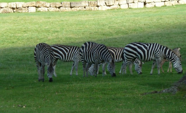
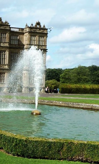
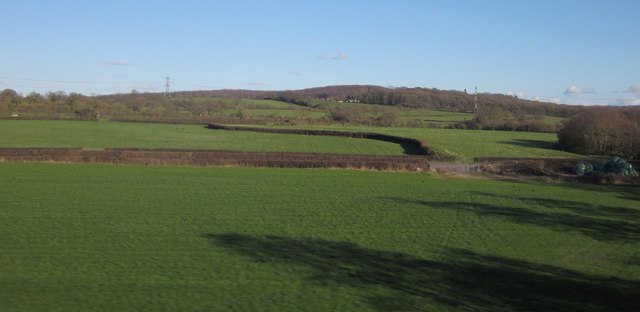
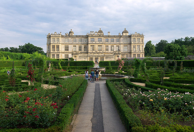
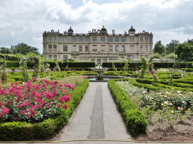
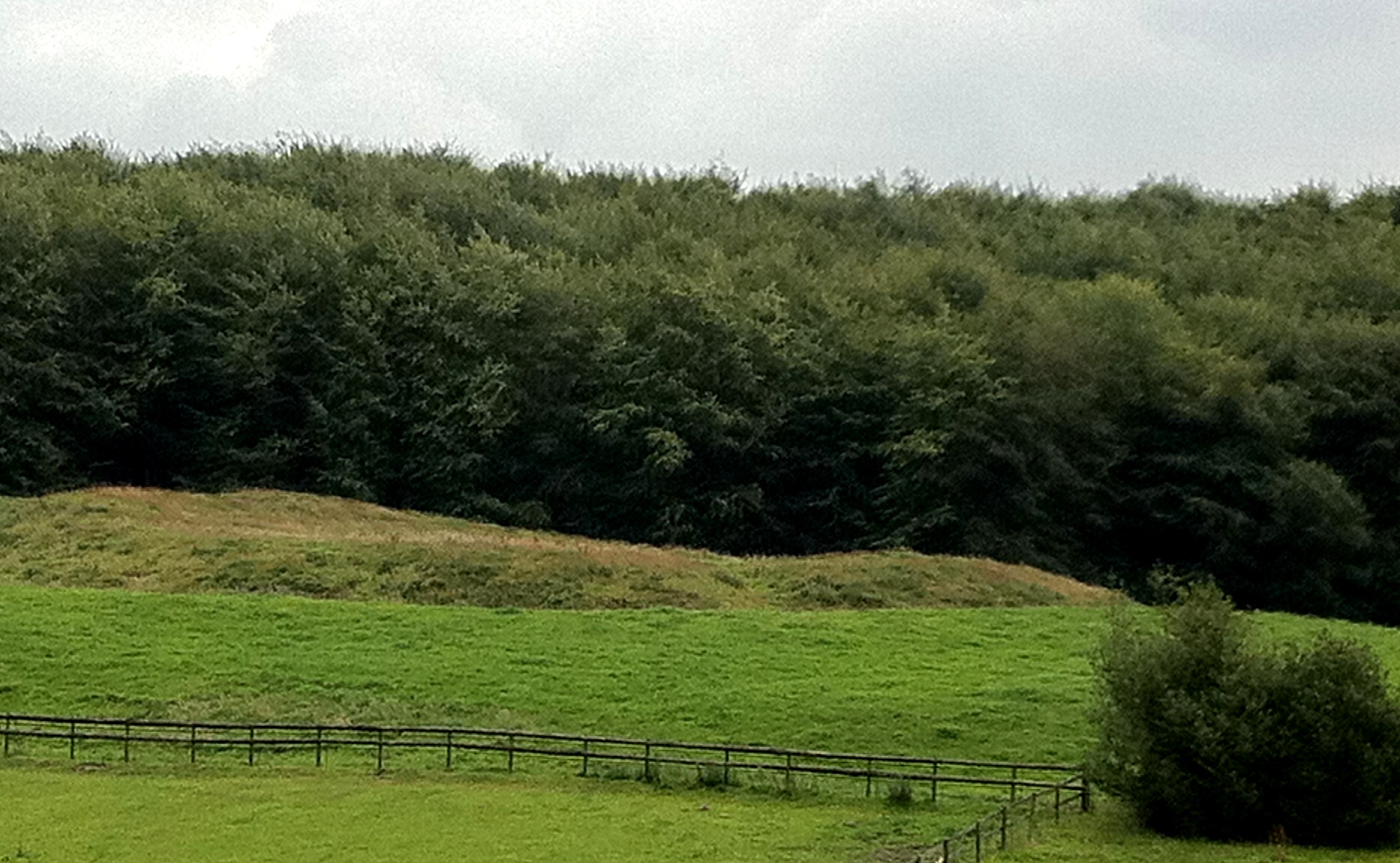
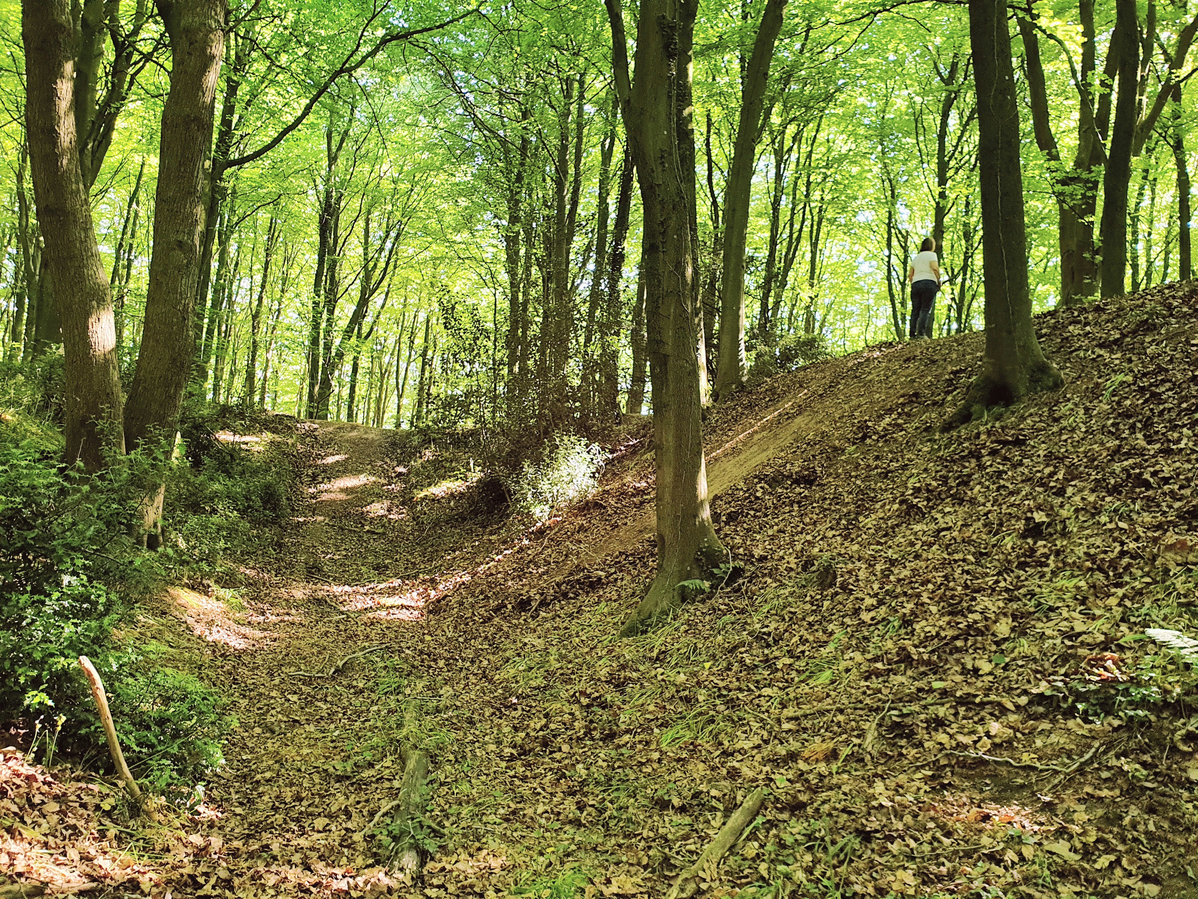
Cole Hill Images

Images are sourced within 2km of 51.198331/-2.2933007 or Grid Reference ST7944. Thanks to Geograph Open Source API. All images are credited.

Old Milestone by East Woodlands Road, Selwood parish Metal plate attached to stone post by the UC road, in parish of SELWOOD (MENDIP District), East Selwood village, East Woodlands Road, by Horse & Jockey Tollhouse, on grass lawn to right of tollhouse, on North side of road. Frome square iron plate, erected by the Frome turnpike trust in the 18th century. 

Inscription reads:-
Longleat
Houſe
2 Miles.

Grade II listed. 
List Entry Number: 1058068 <span class="nowrap"><a title="https://historicengland.org.uk/listing/the-list/list-entry/1058068" rel="nofollow ugc noopener" href="https://historicengland.org.uk/listing/the-list/list-entry/1058068">Link</a><img style="margin-left:2px;" alt="External link" title="External link - shift click to open in new window" src="https://s1.geograph.org.uk/img/external.png" width="10" height="10"/></span>

Milestone Society National ID: SO_LLH02
Old Milestone by East Woodlands Road, Selwood parish
Metal plate attached to stone post by the UC road, in parish of SELWOOD (MENDIP District), East Selwood village, East Woodlands Road, by Horse & Jockey Tollhouse, on grass lawn to right of tollhouse, on North side of road. Frome square iron plate, erected by the Frome turnpike trust in the 18th century. Inscription reads:- Longleat Houſe 2 Miles. Grade II listed. List Entry Number: 1058068 LinkExternal link Milestone Society National ID: SO_LLH02
Gardens between Orangery and Longleat House
Longleat House and gardens The view of the house from the Orangery , now a tea and coffee shop.
Longleat House and gardens
The view of the house from the Orangery , now a tea and coffee shop.
Waiting for Lunch The Lions have been at Longleat now since the 60s and this is what the majority of people come to see.At least they were not all asleep today.
Waiting for Lunch
The Lions have been at Longleat now since the 60s and this is what the majority of people come to see.At least they were not all asleep today.
Longleat Maze
Longleat Maze
Longleat - Safari Park Lion
Longleat Safari Park - Zebra
Fountain at Longleat House
Fields by the B3092 The B road runs between hedges across the image, between Frome and Maiden Bradley. Silage bales are on the right. The pasture land rises towards New Church Farm at East Woodlands, in <a href="https://www.geograph.org.uk/gridref/ST7844">ST7844</a>, with Lower Woods clothing the hills west of Longleat. Taken from a train on the main railway line between Westbury and Bruton.
Fields by the B3092
The B road runs between hedges across the image, between Frome and Maiden Bradley. Silage bales are on the right. The pasture land rises towards New Church Farm at East Woodlands, in ST7844, with Lower Woods clothing the hills west of Longleat. Taken from a train on the main railway line between Westbury and Bruton.
Lake outfall This artificial outfall keeps the main lake at Longleat at the required level.
Lake outfall
This artificial outfall keeps the main lake at Longleat at the required level.
Longleat House
Longleat House
Longleat House and gardens Longleat House <span class="nowrap"><a title="http://en.wikipedia.org/wiki/Longleat" rel="nofollow ugc noopener" href="http://en.wikipedia.org/wiki/Longleat">Link</a><img style="margin-left:2px;" alt="External link" title="External link - shift click to open in new window" src="https://s1.geograph.org.uk/img/external.png" width="10" height="10"/></span> and the magnificent secret garden as seen from the Orangery.
Longleat House and gardens
Longleat House LinkExternal link and the magnificent secret garden as seen from the Orangery.
Fire hydrant cover, Longleat One of several fire hydrant covers in the grounds of Longleat House marked "Shand Mason and Co. Engineers, London". The following information on the company is taken from <span class="nowrap"><a title="http://www.fire-engine-photos.com/manufacturers.asp?id=110" rel="nofollow ugc noopener" href="http://www.fire-engine-photos.com/manufacturers.asp?id=110">Link</a><img style="margin-left:2px;" alt="External link" title="External link - shift click to open in new window" src="https://s1.geograph.org.uk/img/external.png" width="10" height="10"/></span> "Shand-Mason and Co. of 75 Upper Ground Street, Blackfriars Road, London, SE were a manufacturer of fire pumps and engines. The company was founded by J. Shand and S. Mason in 1774." See also <a title="https://www.geograph.org.uk/search.php?i=43857974" href="https://www.geograph.org.uk/search.php?i=43857974">Link</a> for related images on Geograph.
Fire hydrant cover, Longleat
One of several fire hydrant covers in the grounds of Longleat House marked "Shand Mason and Co. Engineers, London". The following information on the company is taken from LinkExternal link "Shand-Mason and Co. of 75 Upper Ground Street, Blackfriars Road, London, SE were a manufacturer of fire pumps and engines. The company was founded by J. Shand and S. Mason in 1774." See also Link for related images on Geograph.
Bench Mark, Longleat Cut bench mark on the south-eastern tip of Longleat House. Further details on the Bench Mark database at <span class="nowrap"><a title="http://www.bench-marks.org.uk/bm47811" rel="nofollow ugc noopener" href="http://www.bench-marks.org.uk/bm47811">Link</a><img style="margin-left:2px;" alt="External link" title="External link - shift click to open in new window" src="https://s1.geograph.org.uk/img/external.png" width="10" height="10"/></span> .
Bench Mark, Longleat
Cut bench mark on the south-eastern tip of Longleat House. Further details on the Bench Mark database at LinkExternal link .
English Oak (Quercus robur) at Longleat House A nearby plaque states that this magnificent tree was planted on the fifteenth of September 1789 by King George the Third.
English Oak (Quercus robur) at Longleat House
A nearby plaque states that this magnificent tree was planted on the fifteenth of September 1789 by King George the Third.
Longleat House, Wiltshire The Northern side, photographed from the Rose Garden.
Longleat House, Wiltshire
The Northern side, photographed from the Rose Garden.
Longleat House, Wiltshire The Eastern flank of the main house as seen through the trees.
Longleat House, Wiltshire
The Eastern flank of the main house as seen through the trees.
Longleat Gardens, Wiltshire Safari boats moored on the Half Mile Pond at Longleat. These take tourists on a wild life trip around the lake.
Longleat Gardens, Wiltshire
Safari boats moored on the Half Mile Pond at Longleat. These take tourists on a wild life trip around the lake.
Show me another place!

Cole Hill is located at Grid Ref: ST7944 (Lat: 51.198331, Lng: -2.2933007)

Administrative County: Somerset

District: Mendip

Police Authority: Avon and Somerset

What 3 Words

///grace.flagpole.manager. Near Frome, Somerset

Related Wikis

Hales Castle

Hales Castle was a medieval castle that once stood overlooking the town of Frome in the Mendip district of Somerset, England. It has been scheduled as...

Roddenbury Hillfort

Roddenbury Hillfort is a univallate Iron Age hillfort in the parish of Selwood, Somerset, England. It is a Scheduled Monument and it was on the Heritage...

Frome Clay

The Frome Clay is a geological formation in England. It preserves fossils dating back to the Bathonian stage of the Middle Jurassic period. == See also... ==

Church of St Katherine, East Woodlands

The Anglican Church of St Katherine in East Woodlands, Selwood, Somerset, England was built around 1712. It is a Grade II* listed building. == History... ==

Related Videos

4 Days at Center Parcs

I'm very excited to bring you something a little different and believe me, this was a much needed change in our travel world after ...

#Monkeying Around on a Scenic #Drive #🐒 #🚗 #travelphotography #longleatsafari #adventure #explore #🚙

Monkeying Around on a Scenic Drive # # #travelphotography #longleatsafari #adventure #explore Monkey Drive,Scenic ...

Nearby Amenities

Located within 500m of 51.198331,-2.2933007
Post Box
Operator: Royal Mail
Operator Wikidata: Q638098
Post Box Type: wall
Ref: BA11 19
Royal Cypher: VR
Royal Cypher Wikidata: Q33102356
Lat/Long: 51.2003383/-2.2988462
East Woodlands
Place: village
Lat/Long: 51.1986955/-2.2991258
Pub
Horse & Groom
Lat/Long: 51.2005378/-2.2994658
The data included in this document is from www.openstreetmap.org. The data is made available under ODbL.

Have you been to Cole Hill?

Leave your review of Cole Hill below (or comments, questions and feedback).