Coldwell

Settlement in Yorkshire

England

Coldwell

Railway Bridge
Railway Bridge Credit: Dave Pickersgill

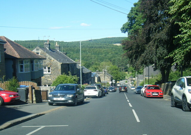
Coldwell is a quaint village nestled in the heart of Yorkshire, England. Situated within the picturesque district of North Yorkshire, Coldwell offers a serene and idyllic setting for its residents and visitors alike. The village is located approximately 10 miles north of the bustling city of Leeds, making it easily accessible for those seeking a peaceful retreat from the urban lifestyle.

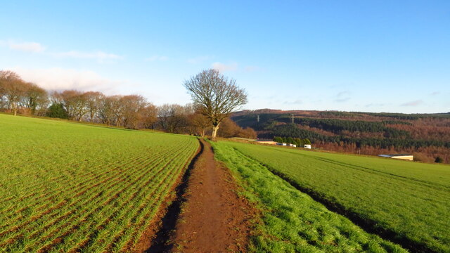
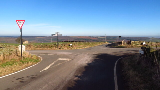
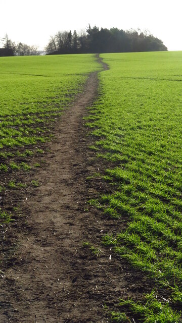
The landscape of Coldwell is characterized by its rolling hills, verdant meadows, and meandering streams, providing a stunning backdrop for outdoor enthusiasts and nature lovers. The village is surrounded by vast stretches of farmland, contributing to its rural charm. Walking and hiking trails crisscross the area, offering opportunities to explore the pristine countryside and take in breathtaking views.

Despite its small size, Coldwell boasts a close-knit community that takes pride in its rich history and traditions. The village is home to several historic buildings, including a 13th-century church that stands as a testament to its past. The local pub serves as a social hub for residents, offering a warm and welcoming atmosphere where people gather to share stories and forge lasting friendships.

While Coldwell may lack the amenities and conveniences of larger towns, it compensates with its tranquility and sense of community. The absence of bustling commercial areas contributes to a slower pace of life, allowing residents to appreciate the simplicity and beauty of the village’s surroundings.

In summary, Coldwell offers a peaceful retreat in the heart of Yorkshire, where residents and visitors can immerse themselves in the natural beauty of the countryside and experience the warmth of a tight-knit community.

If you have any feedback on the listing, please let us know in the comments section below.
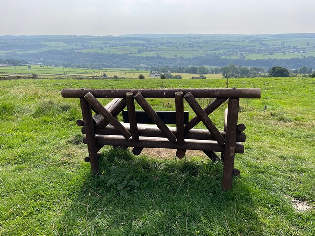
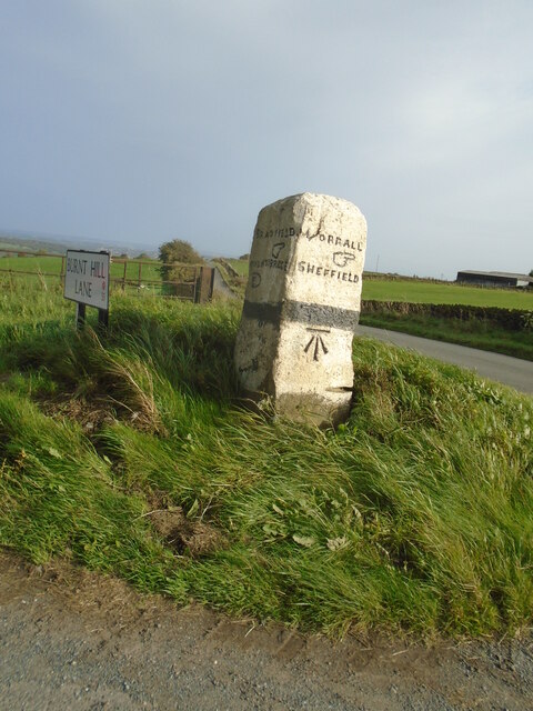
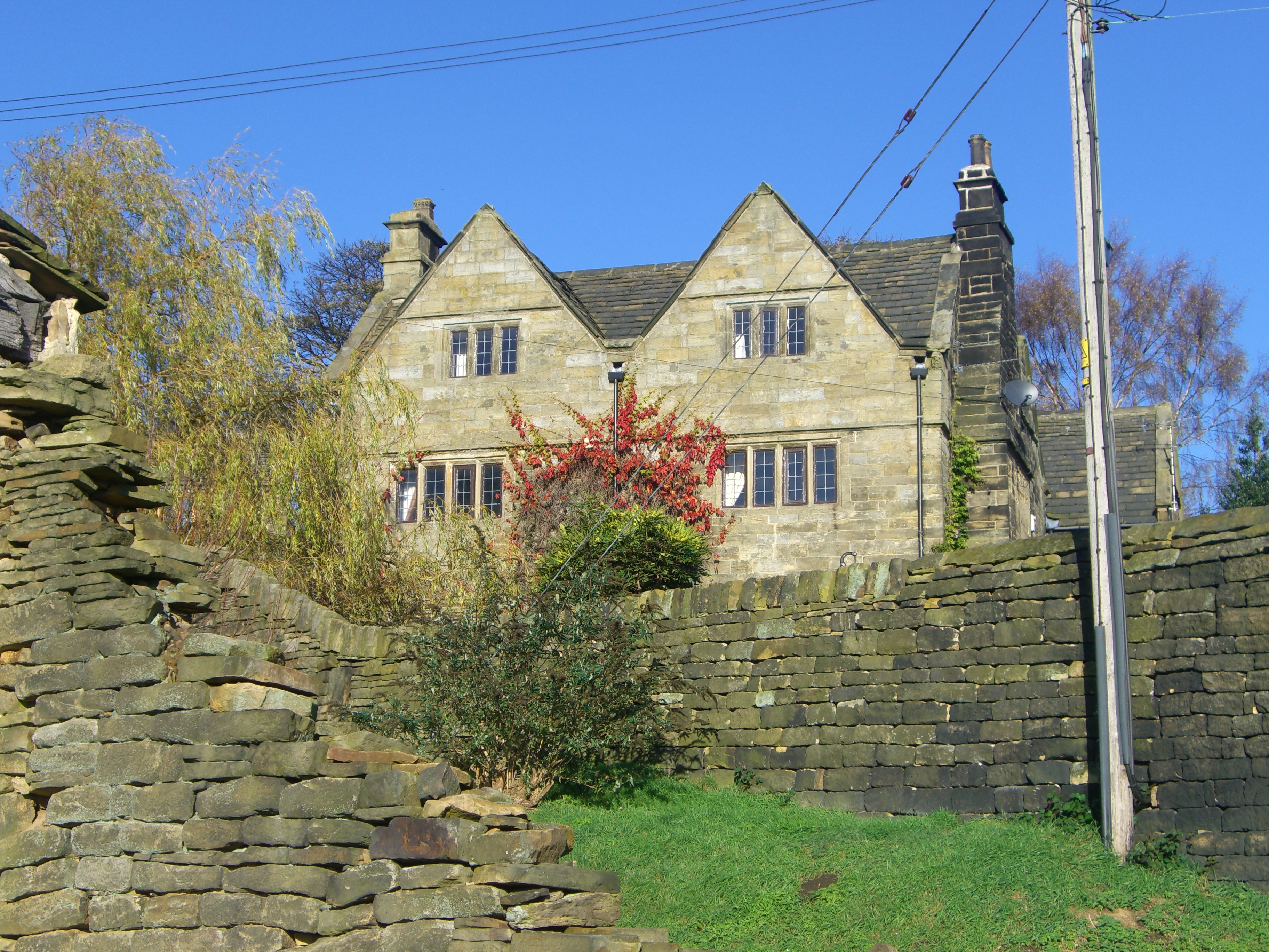
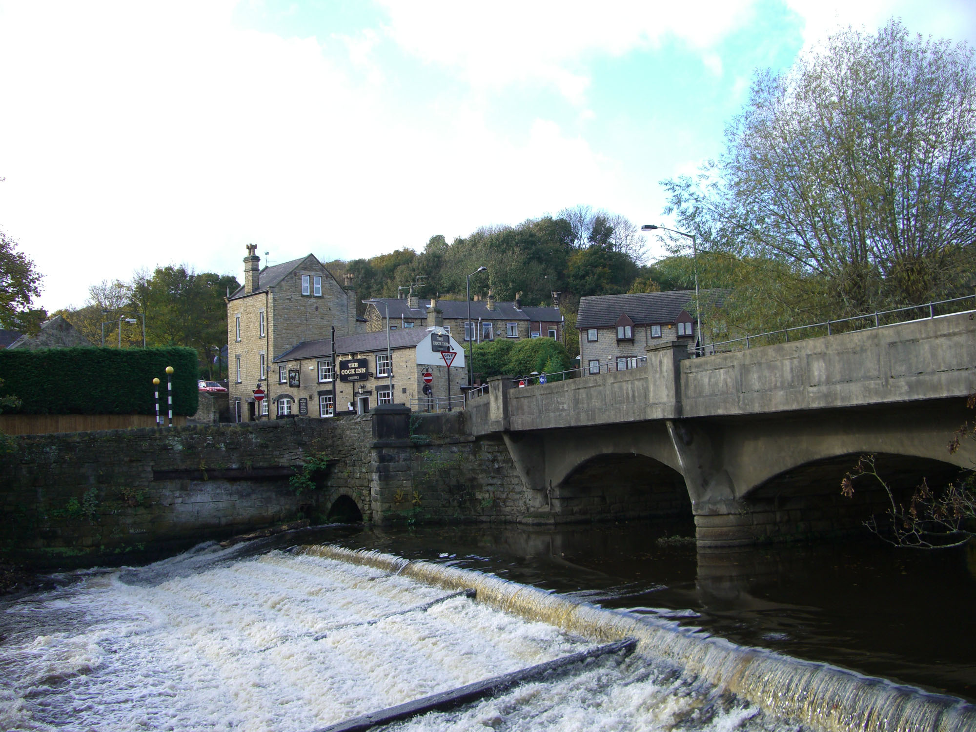
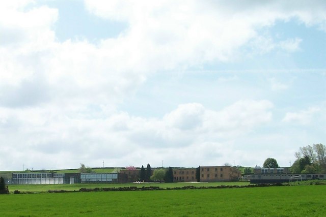
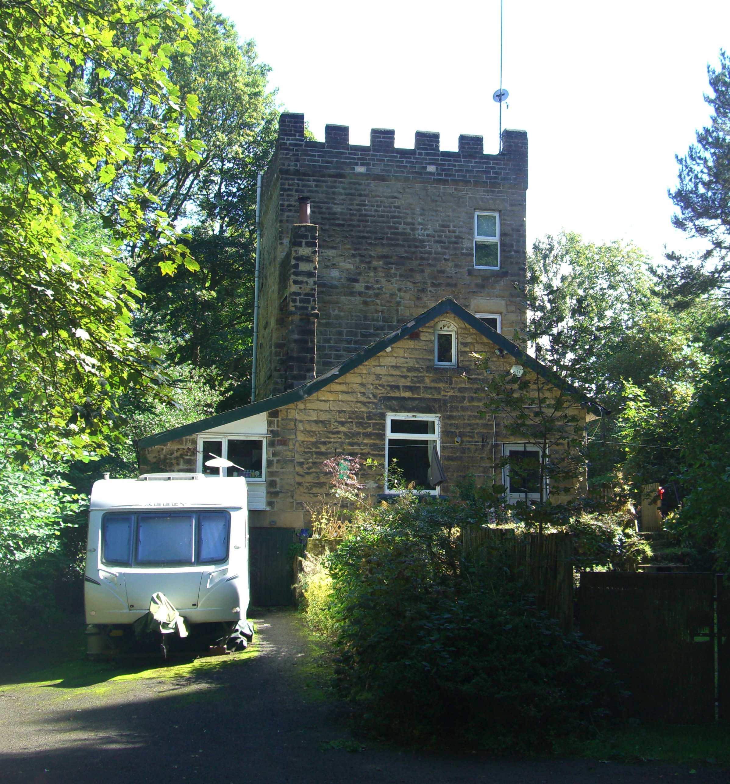
Coldwell Images

Images are sourced within 2km of 53.433762/-1.5520824 or Grid Reference SK2993. Thanks to Geograph Open Source API. All images are credited.

Railway Bridge
Railway Bridge
Railway debris Railway debris adjacent to the Sheffield/Stocksbridge line.
Railway debris
Railway debris adjacent to the Sheffield/Stocksbridge line.
Track clearing & junction in Wharncliffe Wood
Woodland path, Wharncliffe Wood
The River Don at Oughtibridge Station Road passes over the River Don at Oughtibridge. The Cock Inn can also be seen.
The River Don at Oughtibridge
Station Road passes over the River Don at Oughtibridge. The Cock Inn can also be seen.
Tun Gate Well and Washing Trough The Tun Gate Well and Washing Trough at Worrall is over 200 years old. In 2020 the trough was restored with funding from Sheffield Lakeland Landscape Partnership.
Tun Gate Well and Washing Trough
The Tun Gate Well and Washing Trough at Worrall is over 200 years old. In 2020 the trough was restored with funding from Sheffield Lakeland Landscape Partnership.
Haggstones Road, Worrall
Church Road, Oughtibridge
Birkin Cemetery, Oughtibridge
Looking over Worrall A suburban village to the north west of the city, viewed here from the Sheffield Country Walk, a 53.4 mile walk encircling the entire city of Sheffield.
Looking over Worrall
A suburban village to the north west of the city, viewed here from the Sheffield Country Walk, a 53.4 mile walk encircling the entire city of Sheffield.
Wharncliffe Side, Don Valley
Field path between Horse Croft Lane & Long Lane, Onesacre
Path leading NE from Brittains Plantation to Lumb Lane, High Bradfield
Crossroads at junction of Lumb Lane & Onesmoor Bottom
Field path leading south towards Kirk Edge Convent near High Bradfield
A rustic wooden seat with a view Looking over the Loxley Valley from the Sheffield Country Walk near the hamlet of Holdworth
A rustic wooden seat with a view
Looking over the Loxley Valley from the Sheffield Country Walk near the hamlet of Holdworth
Old guidestone A more recent view of the Bradfield Parish guidestone on Kirk Edge Road where Burnt Hill Lane turns left and down to Oughtibridge.  The left face is inscribed BRADFIELD /hand to right/OUGHTIBRIDGE/hand to left.   Made of gritstone, it may date from about 1860.   It is one of eleven guidestones in Bradfield parish which are painted occasionally.   Grade II listed 1314544.
Old guidestone
A more recent view of the Bradfield Parish guidestone on Kirk Edge Road where Burnt Hill Lane turns left and down to Oughtibridge. The left face is inscribed BRADFIELD /hand to right/OUGHTIBRIDGE/hand to left. Made of gritstone, it may date from about 1860. It is one of eleven guidestones in Bradfield parish which are painted occasionally. Grade II listed 1314544.
Bridge and weir at Oughtibridge
Show me another place!

Coldwell is located at Grid Ref: SK2993 (Lat: 53.433762, Lng: -1.5520824)

Division: West Riding

Unitary Authority: Sheffield

Police Authority: South Yorkshire

What 3 Words

///loss.barn.minus. Near Oughtibridge, South Yorkshire

Related Wikis

Onesacre Hall

Onesacre Hall is a Grade II* Listed building situated in the rural outskirts of the City of Sheffield in South Yorkshire, England. The hall is located...

Oughtibridge

Oughtibridge ( OOT-i-brij) is a residential village in the north of Sheffield within the bounds of Bradfield civil parish. The village stands about 5 miles...

Bradfield School

Bradfield School is a secondary school with academy status situated on the edge of the village of Worrall, in the civil parish of Bradfield, in Sheffield...

Glen Howe Park

Glen Howe Park is a public recreation area in the village of Wharncliffe Side within the City of Sheffield, England. The park covers an area of 19 acres...

Nearby Amenities

Located within 500m of 53.433762,-1.5520824
Booth: K6
Removed Amenity: telephone
Lat/Long: 53.4337402/-1.5450655
Bus Stop
Bus: yes
Public Transport: platform
Ref: 3702127
Lat/Long: 53.4326288/-1.5448541
Post Box
Collection Times: Mo-Fr 09:00; Sa 07:00
Post Box Type: lamp
Ref: S35 713
Royal Cypher: EIIR
Royal Cypher Wikidata: Q33102113
Lat/Long: 53.4329258/-1.5456624
Bus Stop
Church Street/Naylor Road
Alt Name: Church Street/Naylor Road
Bus: yes
Naptan AltCommonName: Church Street/Naylor Road
Naptan AtcoCode: 370021259
Naptan Bearing: NE
Naptan CommonName: Church Street/Naylor Road
Naptan Indicator: 21259
Naptan Landmark: 21259
Naptan PlusbusZoneRef: ROTHCEN
Naptan Street: Burton Lane
Naptan Verified: no
Public Transport: platform
Source: naptan_import
Lat/Long: 53.4335575/-1.5453673
Bus Stop
Church Street/Haggstones Road
Alt Name: Church Street/Haggstones Road
Bus: yes
Naptan AltCommonName: Church Street/Haggstones Road
Naptan AtcoCode: 370021260
Naptan Bearing: SW
Naptan CommonName: Church Street/Haggstones Road
Naptan Indicator: 21260
Naptan Landmark: 21260
Naptan PlusbusZoneRef: ROTHCEN
Naptan Street: Burton Lane
Naptan Verified: no
Public Transport: platform
Source: naptan_import
Lat/Long: 53.4332165/-1.5455065
Bus Stop
Haggstones Road/Burton Lane
Alt Name: Haggstones Road/Burton Lane
Bus: yes
Naptan AltCommonName: Haggstones Road/Burton Lane
Naptan AtcoCode: 370021327
Naptan Bearing: NW
Naptan CommonName: Haggstones Road/Burton Lane
Naptan Indicator: 21327
Naptan Landmark: 21327
Naptan PlusbusZoneRef: ROTHCEN
Naptan Street: Haggstones Road
Naptan Verified: no
Public Transport: platform
Source: naptan_import
Lat/Long: 53.4326035/-1.5450614
Barrier: stile
Lat/Long: 53.4320452/-1.5522444
Barrier: stile
Lat/Long: 53.4361337/-1.556945
Barrier: stile
Lat/Long: 53.4364232/-1.5523576
Barrier: stile
Lat/Long: 53.4369231/-1.5548711
Barrier: stile
Lat/Long: 53.4331743/-1.5583073
Information: board
Lat/Long: 53.4347817/-1.5454854
Barrier: stile
Lat/Long: 53.4330498/-1.5467014
Barrier: stile
Lat/Long: 53.4328476/-1.5509592
Barrier: stile
Lat/Long: 53.433762/-1.5521713
Ford: yes
Lat/Long: 53.4327968/-1.5550925
Barrier: stile
Lat/Long: 53.4292977/-1.5516907
Barrier: stile
Lat/Long: 53.4315985/-1.5475552
Barrier: stile
Lat/Long: 53.4317504/-1.5486295
Barrier: stile
Lat/Long: 53.4300339/-1.5520876
Barrier: stile
Lat/Long: 53.4309298/-1.5524752
Bench
Lat/Long: 53.4349348/-1.5458452
Bench
Lat/Long: 53.4343114/-1.5522986
Power: pole
Lat/Long: 53.4292933/-1.5516743
Noexit: yes
Lat/Long: 53.4367793/-1.5541176
Onesacre
Place: hamlet
Lat/Long: 53.4364318/-1.5533853
Grit Bin
Operator: Sheffield City Council
Operator Type: government
Operator Wikidata: Q7492609
Seasonal: no
Lat/Long: 53.4340839/-1.5447352
Grit Bin
Operator: Sheffield City Council
Operator Type: government
Operator Wikidata: Q7492609
Seasonal: no
Lat/Long: 53.434229/-1.5522446
Grit Bin
Operator: Sheffield City Council
Operator Type: government
Operator Wikidata: Q7492609
Seasonal: no
Lat/Long: 53.4362354/-1.5527804
Grit Bin
Operator: Sheffield City Council
Operator Type: government
Operator Wikidata: Q7492609
Seasonal: no
Lat/Long: 53.4353196/-1.5530459
Grit Bin
Operator: Sheffield City Council
Operator Type: government
Operator Wikidata: Q7492609
Seasonal: no
Lat/Long: 53.4346263/-1.5527371
Turning Circle
Lat/Long: 53.4321263/-1.5452823
Ford: yes
Lat/Long: 53.432978/-1.5542288
Parking
Capacity Disabled: 3
Parking: street_side
Lat/Long: 53.4334583/-1.5507777
The data included in this document is from www.openstreetmap.org. The data is made available under ODbL.

Have you been to Coldwell?

Leave your review of Coldwell below (or comments, questions and feedback).