Cole Hill

Hill, Mountain in Somerset Mendip

England

Cole Hill

Old Milestone by East Woodlands Road, Selwood parish Metal plate attached to stone post by the UC road, in parish of SELWOOD (MENDIP District), East Selwood village, East Woodlands Road, by Horse & Jockey Tollhouse, on grass lawn to right of tollhouse, on North side of road. Frome square iron plate, erected by the Frome turnpike trust in the 18th century. 

Inscription reads:-
Longleat
Houſe
2 Miles.

Grade II listed. 
List Entry Number: 1058068 <span class="nowrap"><a title="https://historicengland.org.uk/listing/the-list/list-entry/1058068" rel="nofollow ugc noopener" href="https://historicengland.org.uk/listing/the-list/list-entry/1058068">Link</a><img style="margin-left:2px;" alt="External link" title="External link - shift click to open in new window" src="https://s1.geograph.org.uk/img/external.png" width="10" height="10"/></span>

Milestone Society National ID: SO_LLH02
Old Milestone by East Woodlands Road, Selwood parish Credit: Spike Johnson

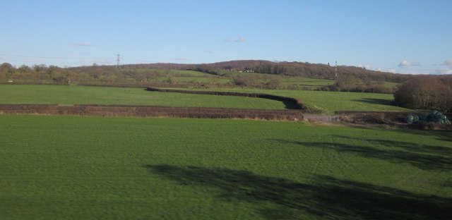
Cole Hill is a prominent hill located in the county of Somerset, England. It is situated within the Mendip Hills Area of Outstanding Natural Beauty, offering breathtaking views of the surrounding countryside. With an elevation of approximately 250 meters (820 feet), Cole Hill is considered a notable landmark in the area.

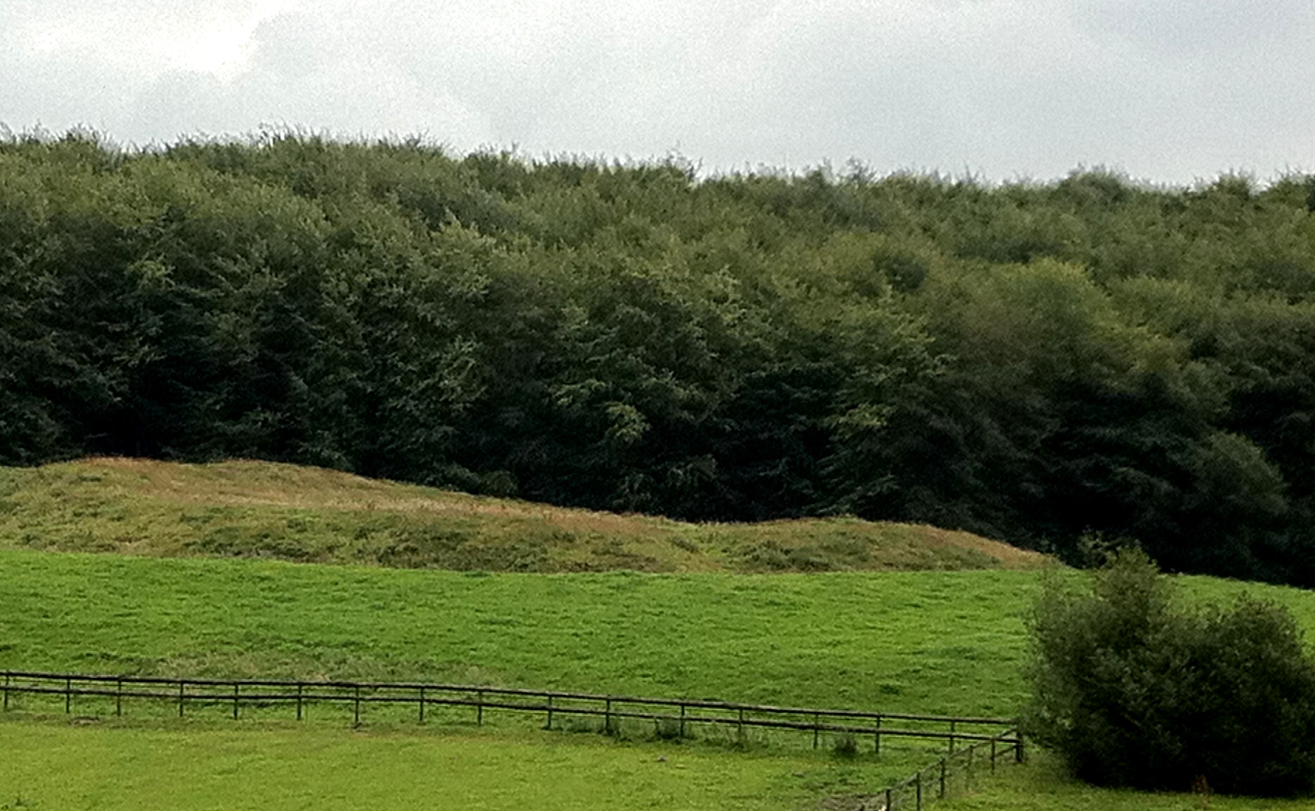
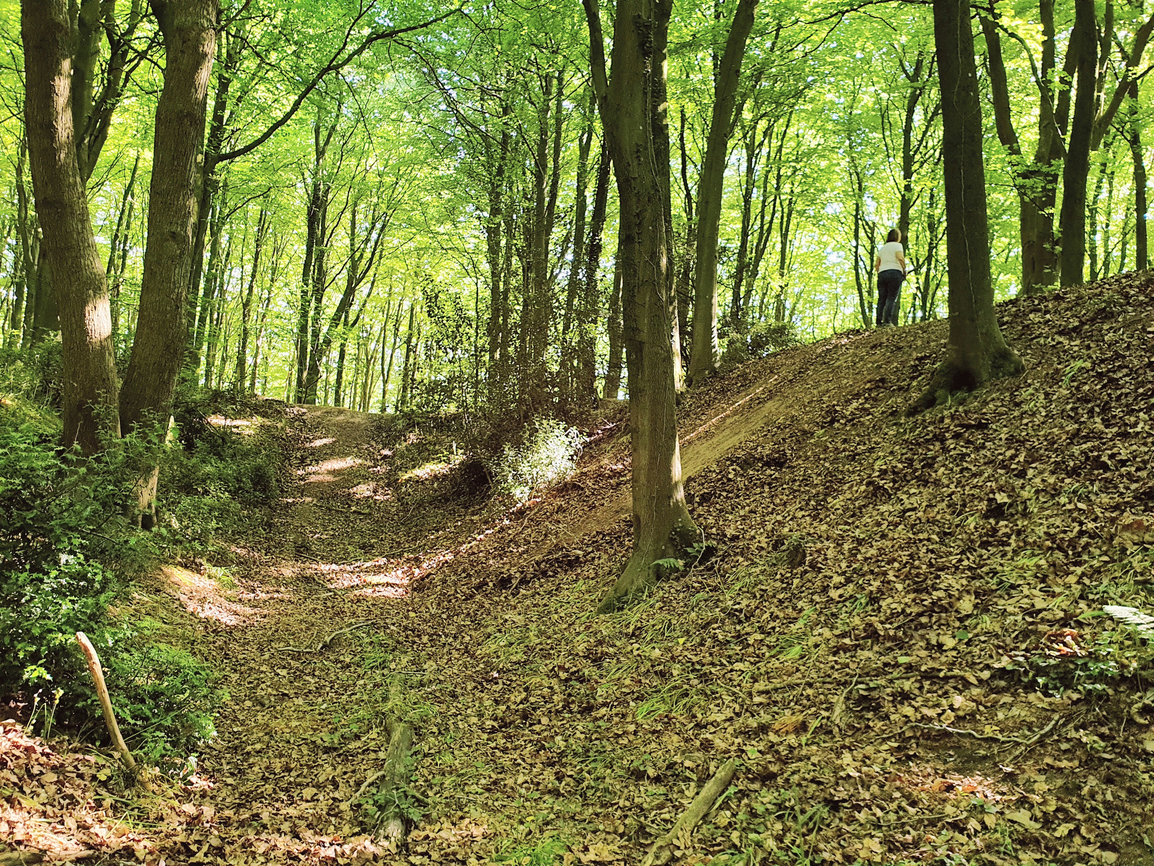
Covered in lush greenery and dotted with vibrant wildflowers, Cole Hill is a haven for nature lovers and outdoor enthusiasts. The hill is primarily composed of limestone, which has contributed to the formation of intricate caves and underground water systems in the region. As a result, Cole Hill is known for its unique geological features, such as sinkholes and underground rivers.

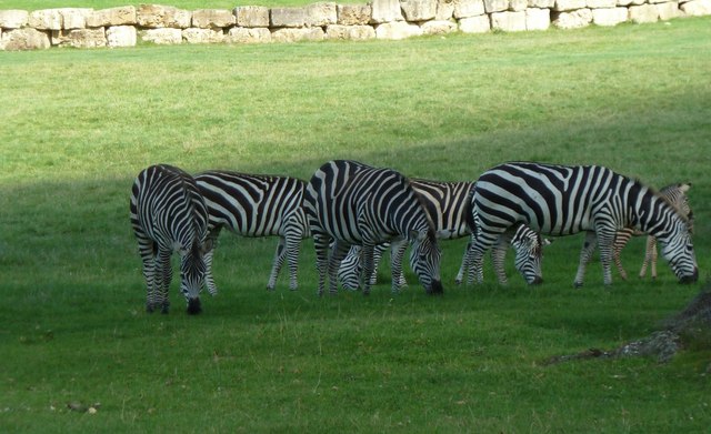
The hill is easily accessible, with several footpaths and trails leading to its summit. These paths offer visitors the opportunity to explore the diverse flora and fauna of the area, including rare species of plants and a variety of birdlife. On a clear day, visitors can enjoy panoramic views of the Somerset Levels, the Bristol Channel, and even the distant Welsh mountains.

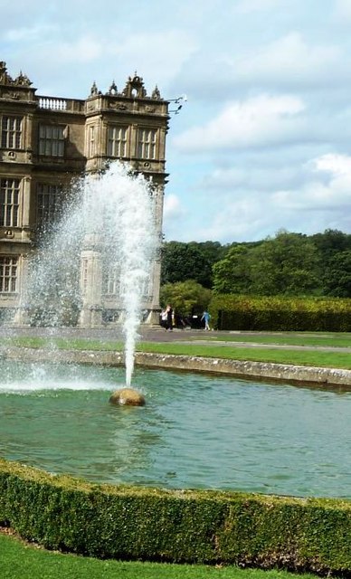
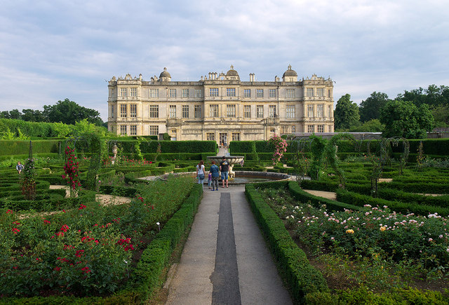
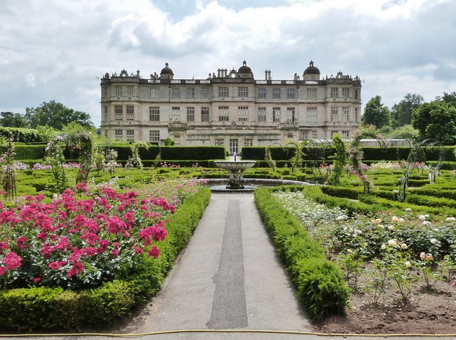
The surrounding area of Cole Hill is home to quaint villages, charming pubs, and historical landmarks. Visitors can immerse themselves in the rich cultural heritage of the region by exploring nearby attractions such as Glastonbury Abbey and Wells Cathedral.

Overall, Cole Hill is a picturesque and captivating destination, offering a perfect blend of natural beauty, recreational activities, and cultural experiences for all who visit.

If you have any feedback on the listing, please let us know in the comments section below.

Cole Hill Images

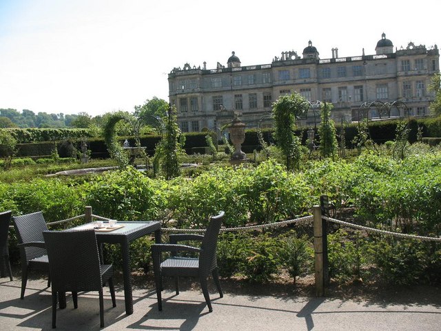
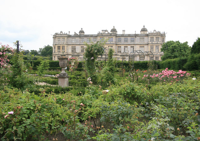
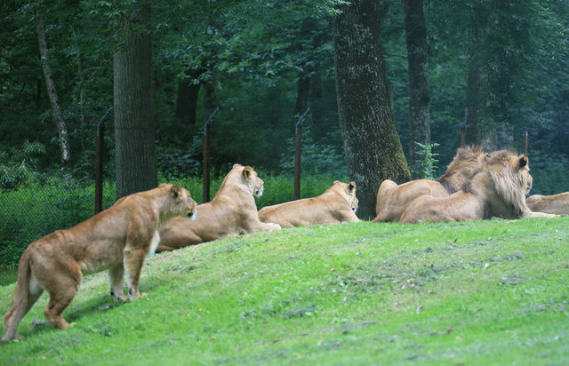
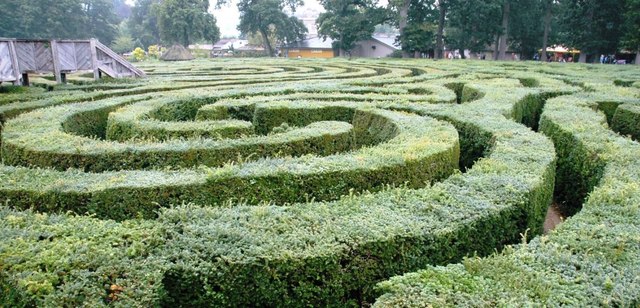
Images are sourced within 2km of 51.198819/-2.2921159 or Grid Reference ST7944. Thanks to Geograph Open Source API. All images are credited.

Old Milestone by East Woodlands Road, Selwood parish Metal plate attached to stone post by the UC road, in parish of SELWOOD (MENDIP District), East Selwood village, East Woodlands Road, by Horse & Jockey Tollhouse, on grass lawn to right of tollhouse, on North side of road. Frome square iron plate, erected by the Frome turnpike trust in the 18th century. 

Inscription reads:-
Longleat
Houſe
2 Miles.

Grade II listed. 
List Entry Number: 1058068 <span class="nowrap"><a title="https://historicengland.org.uk/listing/the-list/list-entry/1058068" rel="nofollow ugc noopener" href="https://historicengland.org.uk/listing/the-list/list-entry/1058068">Link</a><img style="margin-left:2px;" alt="External link" title="External link - shift click to open in new window" src="https://s1.geograph.org.uk/img/external.png" width="10" height="10"/></span>

Milestone Society National ID: SO_LLH02
Old Milestone by East Woodlands Road, Selwood parish
Metal plate attached to stone post by the UC road, in parish of SELWOOD (MENDIP District), East Selwood village, East Woodlands Road, by Horse & Jockey Tollhouse, on grass lawn to right of tollhouse, on North side of road. Frome square iron plate, erected by the Frome turnpike trust in the 18th century. Inscription reads:- Longleat Houſe 2 Miles. Grade II listed. List Entry Number: 1058068 LinkExternal link Milestone Society National ID: SO_LLH02
Gardens between Orangery and Longleat House
Longleat House and gardens The view of the house from the Orangery , now a tea and coffee shop.
Longleat House and gardens
The view of the house from the Orangery , now a tea and coffee shop.
Waiting for Lunch The Lions have been at Longleat now since the 60s and this is what the majority of people come to see.At least they were not all asleep today.
Waiting for Lunch
The Lions have been at Longleat now since the 60s and this is what the majority of people come to see.At least they were not all asleep today.
Longleat Maze
Longleat Maze
Longleat - Safari Park Lion
Longleat Safari Park - Zebra
Fountain at Longleat House
Fields by the B3092 The B road runs between hedges across the image, between Frome and Maiden Bradley. Silage bales are on the right. The pasture land rises towards New Church Farm at East Woodlands, in <a href="https://www.geograph.org.uk/gridref/ST7844">ST7844</a>, with Lower Woods clothing the hills west of Longleat. Taken from a train on the main railway line between Westbury and Bruton.
Fields by the B3092
The B road runs between hedges across the image, between Frome and Maiden Bradley. Silage bales are on the right. The pasture land rises towards New Church Farm at East Woodlands, in ST7844, with Lower Woods clothing the hills west of Longleat. Taken from a train on the main railway line between Westbury and Bruton.
Lake outfall This artificial outfall keeps the main lake at Longleat at the required level.
Lake outfall
This artificial outfall keeps the main lake at Longleat at the required level.
Longleat House
Longleat House
Longleat House and gardens Longleat House <span class="nowrap"><a title="http://en.wikipedia.org/wiki/Longleat" rel="nofollow ugc noopener" href="http://en.wikipedia.org/wiki/Longleat">Link</a><img style="margin-left:2px;" alt="External link" title="External link - shift click to open in new window" src="https://s1.geograph.org.uk/img/external.png" width="10" height="10"/></span> and the magnificent secret garden as seen from the Orangery.
Longleat House and gardens
Longleat House LinkExternal link and the magnificent secret garden as seen from the Orangery.
Fire hydrant cover, Longleat One of several fire hydrant covers in the grounds of Longleat House marked "Shand Mason and Co. Engineers, London". The following information on the company is taken from <span class="nowrap"><a title="http://www.fire-engine-photos.com/manufacturers.asp?id=110" rel="nofollow ugc noopener" href="http://www.fire-engine-photos.com/manufacturers.asp?id=110">Link</a><img style="margin-left:2px;" alt="External link" title="External link - shift click to open in new window" src="https://s1.geograph.org.uk/img/external.png" width="10" height="10"/></span> "Shand-Mason and Co. of 75 Upper Ground Street, Blackfriars Road, London, SE were a manufacturer of fire pumps and engines. The company was founded by J. Shand and S. Mason in 1774." See also <a title="https://www.geograph.org.uk/search.php?i=43857974" href="https://www.geograph.org.uk/search.php?i=43857974">Link</a> for related images on Geograph.
Fire hydrant cover, Longleat
One of several fire hydrant covers in the grounds of Longleat House marked "Shand Mason and Co. Engineers, London". The following information on the company is taken from LinkExternal link "Shand-Mason and Co. of 75 Upper Ground Street, Blackfriars Road, London, SE were a manufacturer of fire pumps and engines. The company was founded by J. Shand and S. Mason in 1774." See also Link for related images on Geograph.
Bench Mark, Longleat Cut bench mark on the south-eastern tip of Longleat House. Further details on the Bench Mark database at <span class="nowrap"><a title="http://www.bench-marks.org.uk/bm47811" rel="nofollow ugc noopener" href="http://www.bench-marks.org.uk/bm47811">Link</a><img style="margin-left:2px;" alt="External link" title="External link - shift click to open in new window" src="https://s1.geograph.org.uk/img/external.png" width="10" height="10"/></span> .
Bench Mark, Longleat
Cut bench mark on the south-eastern tip of Longleat House. Further details on the Bench Mark database at LinkExternal link .
English Oak (Quercus robur) at Longleat House A nearby plaque states that this magnificent tree was planted on the fifteenth of September 1789 by King George the Third.
English Oak (Quercus robur) at Longleat House
A nearby plaque states that this magnificent tree was planted on the fifteenth of September 1789 by King George the Third.
Longleat House, Wiltshire The Northern side, photographed from the Rose Garden.
Longleat House, Wiltshire
The Northern side, photographed from the Rose Garden.
Longleat House, Wiltshire The Eastern flank of the main house as seen through the trees.
Longleat House, Wiltshire
The Eastern flank of the main house as seen through the trees.
Longleat Gardens, Wiltshire Safari boats moored on the Half Mile Pond at Longleat. These take tourists on a wild life trip around the lake.
Longleat Gardens, Wiltshire
Safari boats moored on the Half Mile Pond at Longleat. These take tourists on a wild life trip around the lake.
Show me another place!

Cole Hill is located at Grid Ref: ST7944 (Lat: 51.198819, Lng: -2.2921159)

Administrative County: Somerset

District: Mendip

Police Authority: Avon and Somerset

What 3 Words

///commit.couriers.animate. Near Frome, Somerset

Related Wikis

Hales Castle

Hales Castle was a medieval castle that once stood overlooking the town of Frome in the Mendip district of Somerset, England. It has been scheduled as...

Roddenbury Hillfort

Roddenbury Hillfort is a univallate Iron Age hillfort in the parish of Selwood, Somerset, England. It is a Scheduled Monument and it was on the Heritage...

Frome Clay

The Frome Clay is a geological formation in England. It preserves fossils dating back to the Bathonian stage of the Middle Jurassic period. == See also... ==

Church of St Katherine, East Woodlands

The Anglican Church of St Katherine in East Woodlands, Selwood, Somerset, England was built around 1712. It is a Grade II* listed building. == History... ==

Nearby Amenities

Located within 500m of 51.198819,-2.2921159
Post Box
Operator: Royal Mail
Operator Wikidata: Q638098
Post Box Type: wall
Ref: BA11 19
Royal Cypher: VR
Royal Cypher Wikidata: Q33102356
Lat/Long: 51.2003383/-2.2988462
East Woodlands
Place: village
Lat/Long: 51.1986955/-2.2991258
The data included in this document is from www.openstreetmap.org. The data is made available under ODbL.

Have you been to Cole Hill?

Leave your review of Cole Hill below (or comments, questions and feedback).